Bushy Copse
Wood, Forest in Oxfordshire South Oxfordshire
England
Bushy Copse
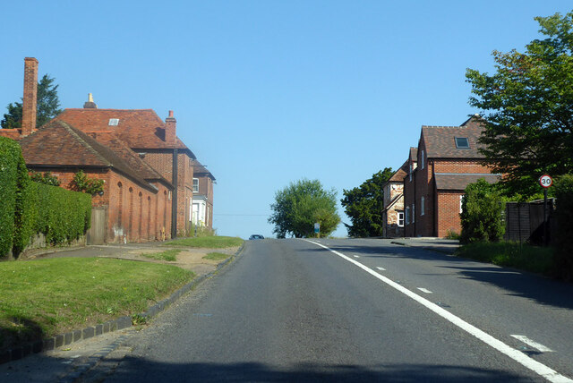
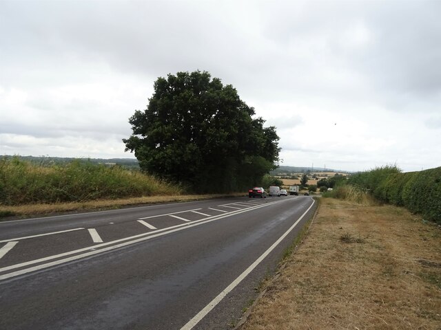
Bushy Copse is a charming woodland located in Oxfordshire, England. Covering an area of approximately 50 acres, this dense forest is a hidden gem that offers a peaceful and tranquil escape from the bustling city life. It is situated near the village of Long Hanborough, just a short distance from the historic city of Oxford.
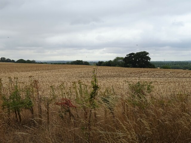
The copse is characterized by its lush greenery, tall trees, and thick undergrowth, creating a dense canopy that provides shade and shelter to a variety of flora and fauna. The woodland is predominantly composed of native tree species such as oak, beech, and ash, which contribute to its natural beauty and biodiversity.
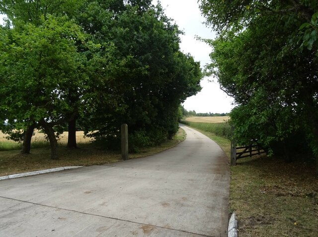
Walking through Bushy Copse, visitors can explore a network of well-maintained footpaths that wind through the woods, allowing for a pleasant and immersive experience in nature. The trails offer opportunities for leisurely strolls, jogging, or even birdwatching, as the copse is home to a diverse array of bird species, including woodpeckers, owls, and various songbirds.
Aside from its natural allure, Bushy Copse also holds historical significance. It is believed that the woodland has been present for centuries, with remnants of ancient earthworks and ditches suggesting it was once used for agricultural purposes. This adds an intriguing layer of heritage to the copse, making it an interesting destination for history enthusiasts.
Overall, Bushy Copse in Oxfordshire is a picturesque and enchanting woodland, offering a serene environment for nature lovers, hikers, and those seeking a peaceful retreat away from the urban landscape.
If you have any feedback on the listing, please let us know in the comments section below.
Bushy Copse Images
Images are sourced within 2km of 51.707106/-1.2007534 or Grid Reference SP5501. Thanks to Geograph Open Source API. All images are credited.


Bushy Copse is located at Grid Ref: SP5501 (Lat: 51.707106, Lng: -1.2007534)
Administrative County: Oxfordshire
District: South Oxfordshire
Police Authority: Thames Valley
What 3 Words
///enlighten.spoiler.lung. Near Garsington, Oxfordshire
Nearby Locations
Related Wikis
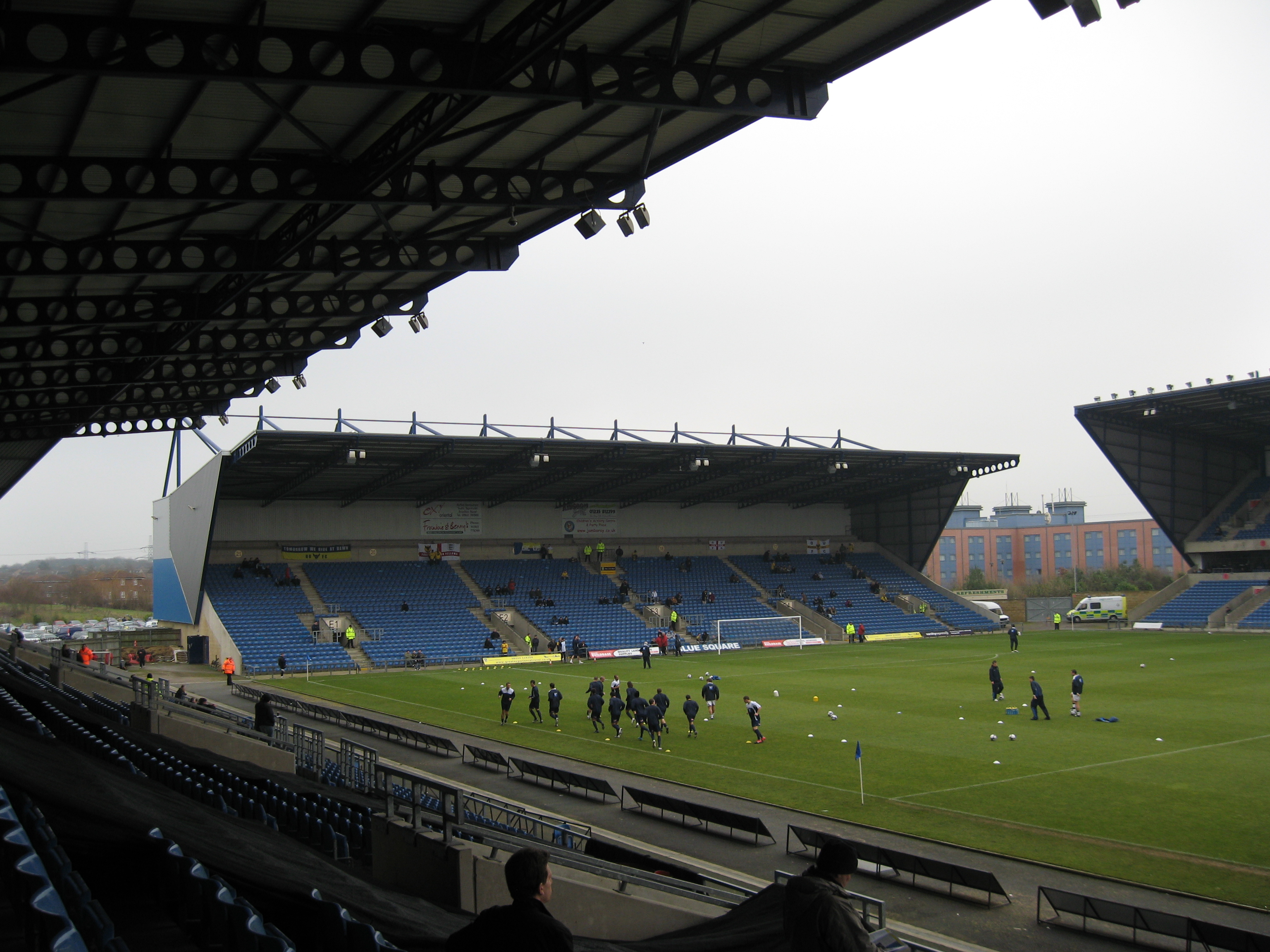
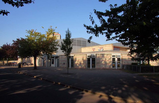
Kassam Stadium
The Kassam Stadium (also known as Grenoble Road) is the home of Oxford United Football Club, and is named after the ground's owner and former chairman...

Death of Dr. Michael Meenaghan
Dr. Michael "Spike" Meenaghan was a forensic scientist at Oxford University who was shot dead through his kitchen window on 10 December 1994. He was a...
Vaccines Manufacturing and Innovation Centre
The Vaccines Manufacturing and Innovation Centre (VMIC) is a vaccine research and manufacturing facility under construction in Harwell Science and Innovation...
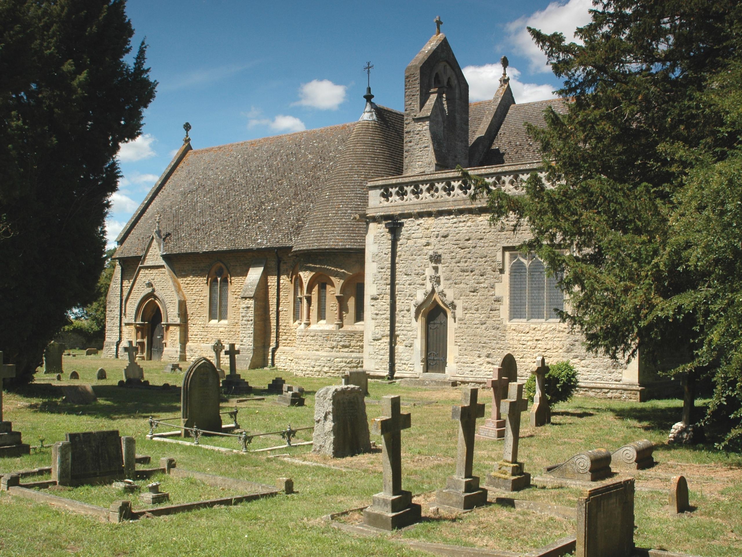
Toot Baldon
Toot Baldon is a village and civil parish about 5 miles (8 km) southeast of Oxford in Oxfordshire. Since 2012 it has been part of the Baldons joint parish...
Blackbird Leys
Blackbird Leys is a civil parish and ward in Oxford, England. According to the 2011 census, the population of the ward (whose boundaries may change occasionally...
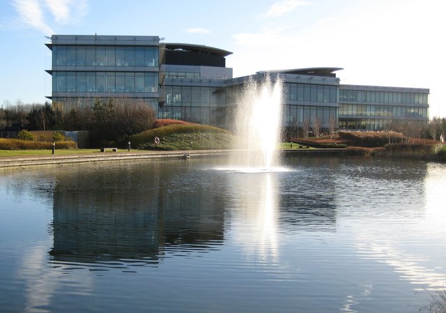
Oxford Science Park
The Oxford Science Park (OSP) is a science and technology park located on the southern edge of the city of Oxford, England. It was officially opened in...
Oxford Academy, Oxfordshire
The Oxford Academy is a coeducational secondary school and sixth form located in Littlemore, Oxford, England. Formerly Peers School, it was re-opened as...
Nuneham Courtenay
Nuneham Courtenay is a village and civil parish about 5 miles (8 km) SSE of Oxford. It occupies several miles close to the east bank of the River Thames...
Nearby Amenities
Located within 500m of 51.707106,-1.2007534Have you been to Bushy Copse?
Leave your review of Bushy Copse below (or comments, questions and feedback).