Knightcross Wood
Wood, Forest in Nottinghamshire Gedling
England
Knightcross Wood
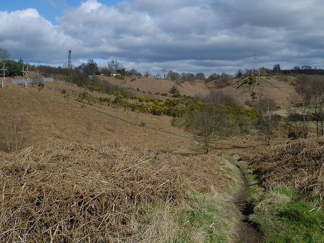
Knightcross Wood is a picturesque woodland located in Nottinghamshire, England. Covering an area of approximately 50 acres, it is nestled within the rolling countryside and is a popular destination for nature enthusiasts and walkers alike.
The wood is predominantly made up of broadleaf trees, including oak, beech, and birch, creating a diverse and vibrant ecosystem. The dense canopy provides a haven for a variety of bird species, making it a fantastic location for birdwatching. Visitors may be fortunate enough to spot woodpeckers, tawny owls, and even the occasional rare sighting of a red kite.
The woodland floor is adorned with an array of wildflowers and ferns, offering a burst of color during the spring and summer months. Bluebells, primroses, and foxgloves are just a few of the species that can be found carpeting the forest floor.
Tranquil pathways wind their way through the wood, allowing visitors to explore the beauty of Knightcross Wood at their own pace. These trails are well-maintained, making them accessible for walkers of all abilities. Along the way, benches invite visitors to take a moment to rest and enjoy the peaceful surroundings.
Knightcross Wood is not only a haven for wildlife and nature lovers but also holds historical significance. It is believed that the wood was once part of the hunting grounds of medieval knights, hence the name "Knightcross." Remnants of old stone walls and earthworks can still be seen, adding an extra layer of intrigue to this enchanting woodland.
In summary, Knightcross Wood is a beautiful woodland in Nottinghamshire, offering a tranquil escape into nature. With its diverse flora and fauna, well-maintained trails, and historical remnants, it is a must-visit destination for those seeking a serene and immersive woodland experience.
If you have any feedback on the listing, please let us know in the comments section below.
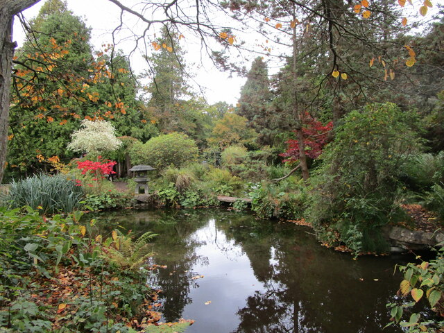
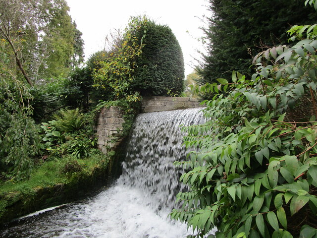
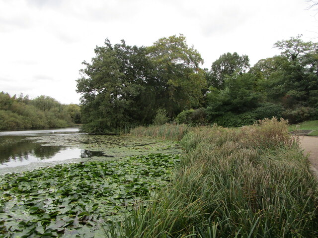
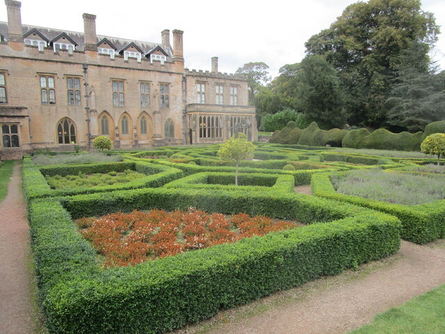
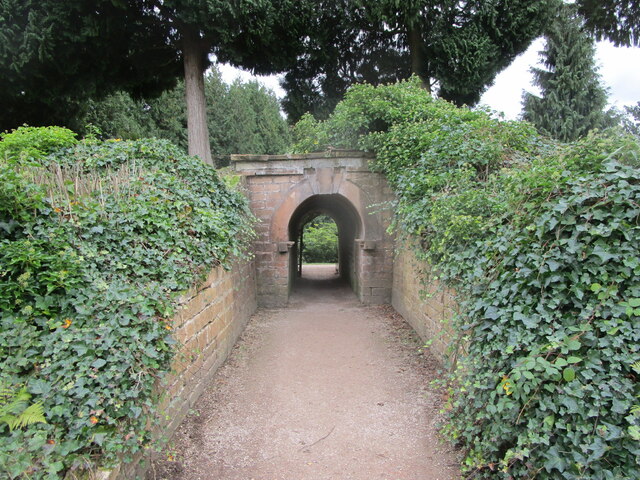
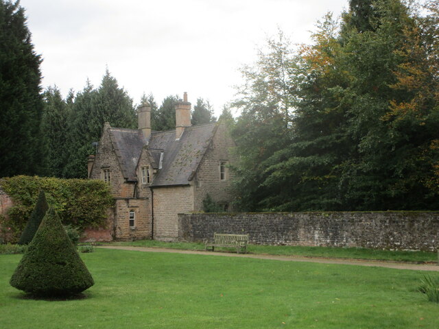
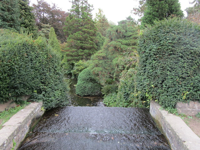
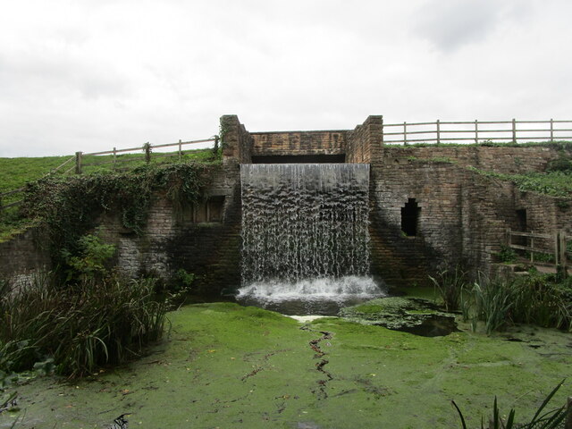
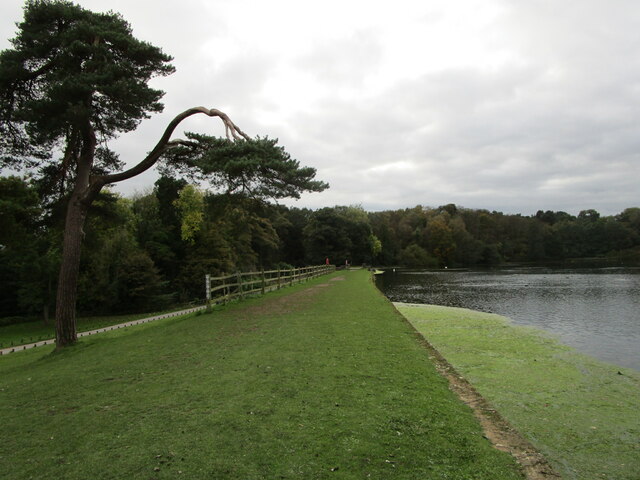
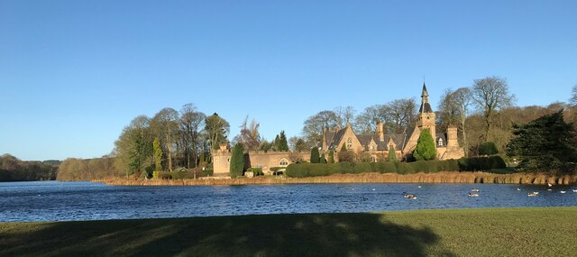
Knightcross Wood Images
Images are sourced within 2km of 53.085961/-1.1877716 or Grid Reference SK5454. Thanks to Geograph Open Source API. All images are credited.


Knightcross Wood is located at Grid Ref: SK5454 (Lat: 53.085961, Lng: -1.1877716)
Administrative County: Nottinghamshire
District: Gedling
Police Authority: Nottinghamshire
What 3 Words
///loves.thinks.cheese. Near Ravenshead, Nottinghamshire
Nearby Locations
Related Wikis

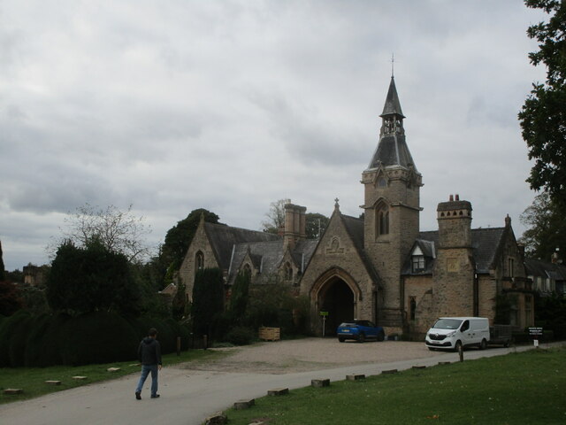
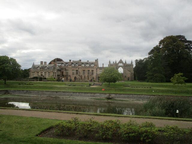
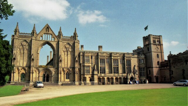
Newstead Abbey
Newstead Abbey, in Nottinghamshire, England, was formerly an Augustinian priory. Converted to a domestic home following the Dissolution of the Monasteries...
Ravenshead
Ravenshead is a large village and civil parish in the Gedling district of Nottinghamshire, England. It borders Papplewick, Newstead Abbey and Blidworth...
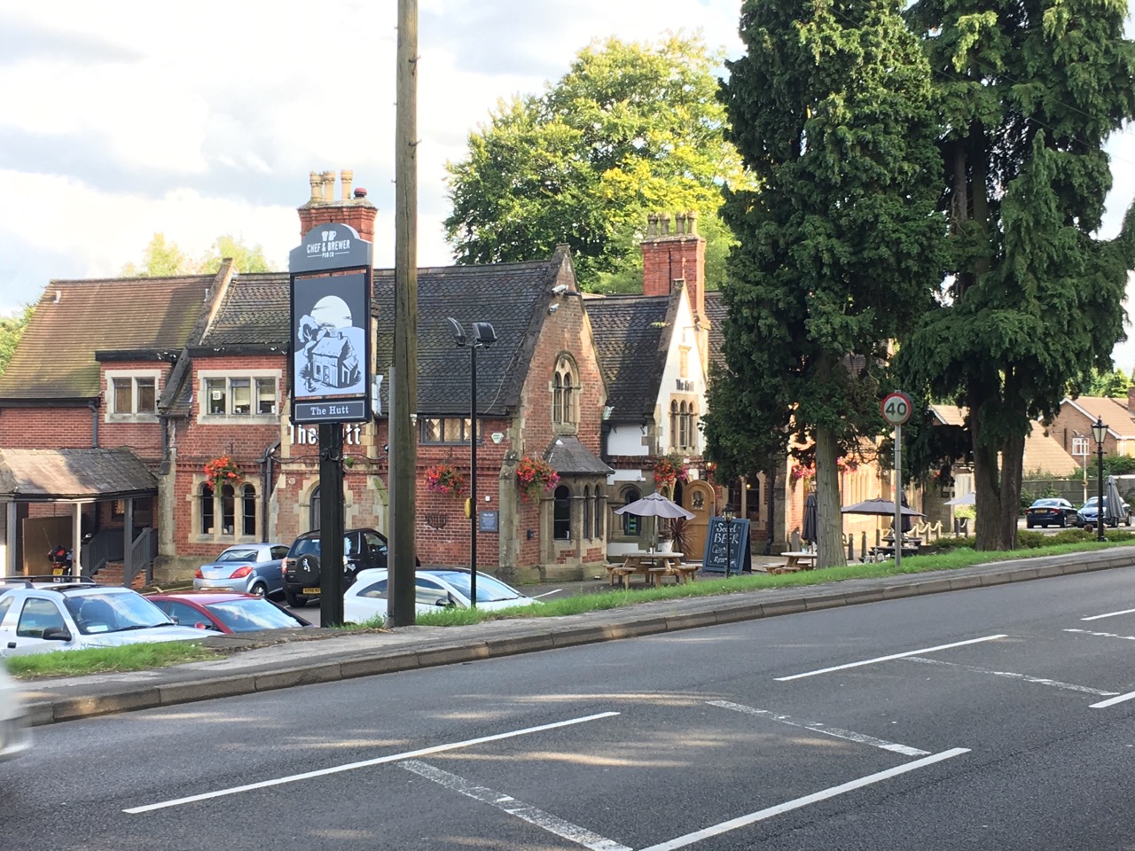
The Hutt
The Hutt is a public house located in the village of Ravenshead in Nottinghamshire, opposite Newstead Abbey. The pub was built on the site of The Royal...
Robin Hood Hills, Nottinghamshire
Robin Hood Hills are a steep sided range of sandstone hills forming a natural amphitheatre surrounding the villages of Annesley and Newstead in Nottinghamshire...

Portland College
Portland College is an education establishment near Ravenshead, Nottinghamshire, England. It is situated in 20 acres (81,000 m2) of Sherwood Forest approximately...

Notts Golf Club
Notts Golf Club, more commonly referred to simply as Hollinwell, is an 18-hole members golf club in Nottinghamshire, England which has hosted a number...
1906 News of the World Match Play
The 1906 News of the World Match Play was the fourth News of the World Match Play tournament. It was played from Tuesday 2 to Thursday 4 October at Notts...
Annesley South Junction Halt railway station
Annesley South Junction Halt is a former halt on the Great Central Railway on the section between Nottingham Victoria and Sheffield Victoria. The halt...
Nearby Amenities
Located within 500m of 53.085961,-1.1877716Have you been to Knightcross Wood?
Leave your review of Knightcross Wood below (or comments, questions and feedback).