Knightcross Dale
Valley in Nottinghamshire Gedling
England
Knightcross Dale
Knightcross Dale is a picturesque valley located in the county of Nottinghamshire, England. Situated on the eastern edge of the famous Sherwood Forest, it is a popular destination for nature enthusiasts and history buffs alike.
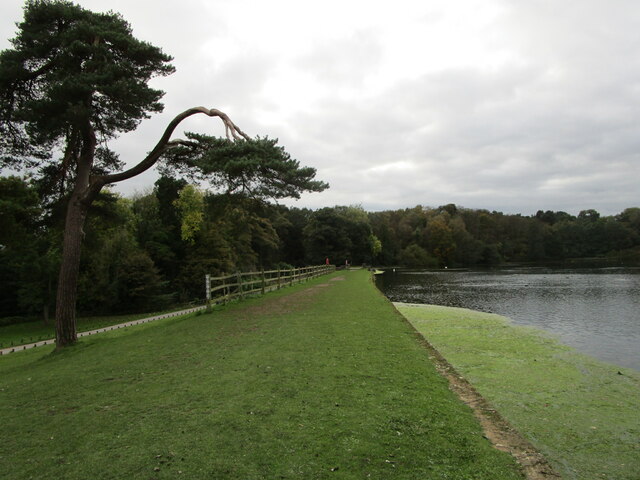
The dale is characterized by its rolling green hills, dense woodlands, and meandering streams, creating a tranquil and idyllic atmosphere. The area is known for its diverse wildlife, with numerous species of birds, mammals, and insects calling it home. Visitors can often spot red deer, foxes, and even the elusive badger.
The history of Knightcross Dale dates back to medieval times, with remnants of ancient settlements and earthworks still visible today. The valley takes its name from a knight who once resided in the area, and numerous legends and tales are associated with the dale.
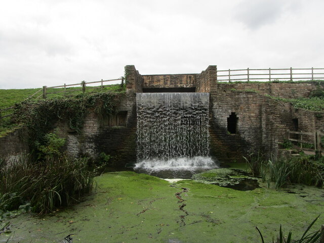
There are several walking trails and footpaths that wind through the dale, allowing visitors to explore its natural beauty at their own pace. Along the way, they can discover hidden waterfalls, ancient oak trees, and breathtaking viewpoints that offer panoramic vistas of the surrounding countryside.
Knightcross Dale is also home to a variety of outdoor activities, including birdwatching, photography, and picnicking. The tranquil surroundings provide the perfect backdrop for relaxation and contemplation.
Overall, Knightcross Dale is a hidden gem in Nottinghamshire, offering a charming blend of natural beauty and historical significance. Whether one is seeking a peaceful retreat or an opportunity to connect with nature, this valley is sure to captivate all who visit.
If you have any feedback on the listing, please let us know in the comments section below.
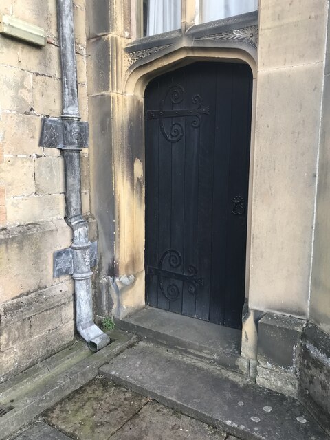
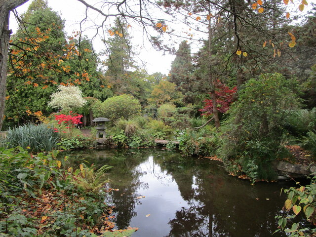
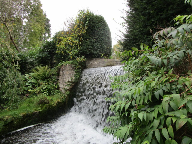
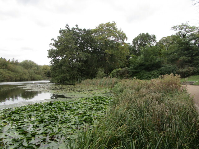
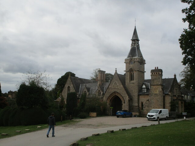
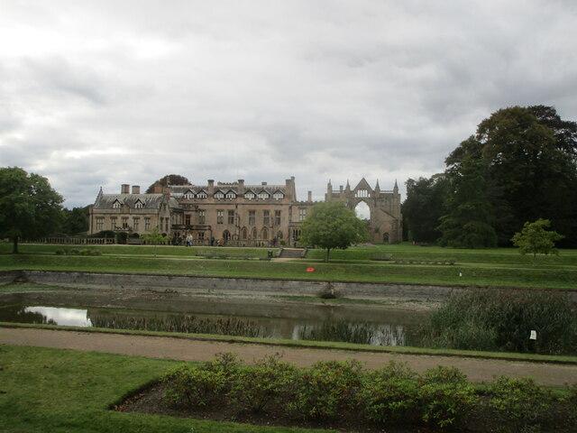
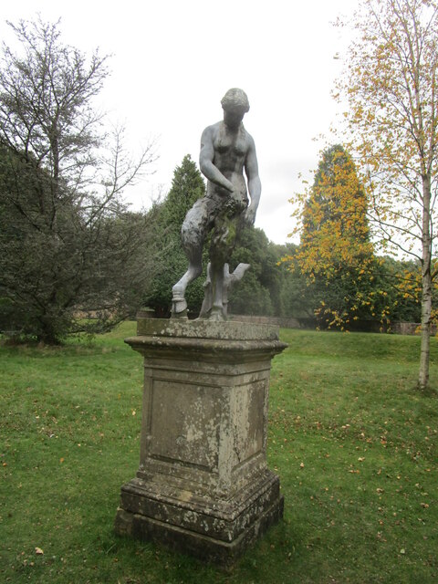
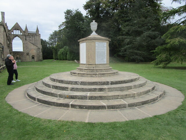
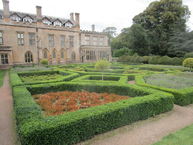
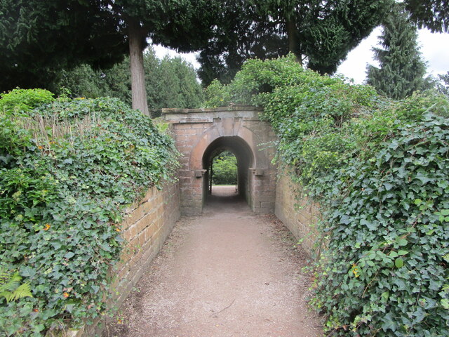
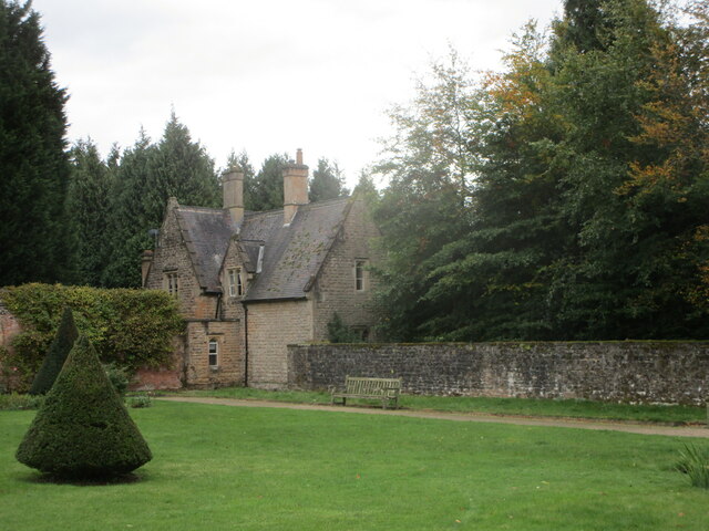
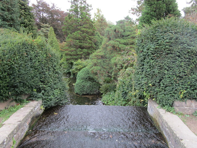
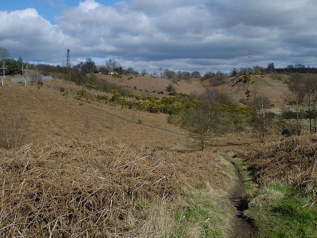
Knightcross Dale Images
Images are sourced within 2km of 53.08638/-1.1885103 or Grid Reference SK5454. Thanks to Geograph Open Source API. All images are credited.


Knightcross Dale is located at Grid Ref: SK5454 (Lat: 53.08638, Lng: -1.1885103)
Administrative County: Nottinghamshire
District: Gedling
Police Authority: Nottinghamshire
What 3 Words
///bench.achieving.wash. Near Ravenshead, Nottinghamshire
Nearby Locations
Related Wikis

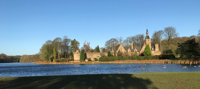
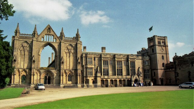
Newstead Abbey
Newstead Abbey, in Nottinghamshire, England, was formerly an Augustinian priory. Converted to a domestic home following the Dissolution of the Monasteries...
Ravenshead
Ravenshead is a large village and civil parish in the Gedling district of Nottinghamshire, England. It borders Papplewick, Newstead Abbey and Blidworth...
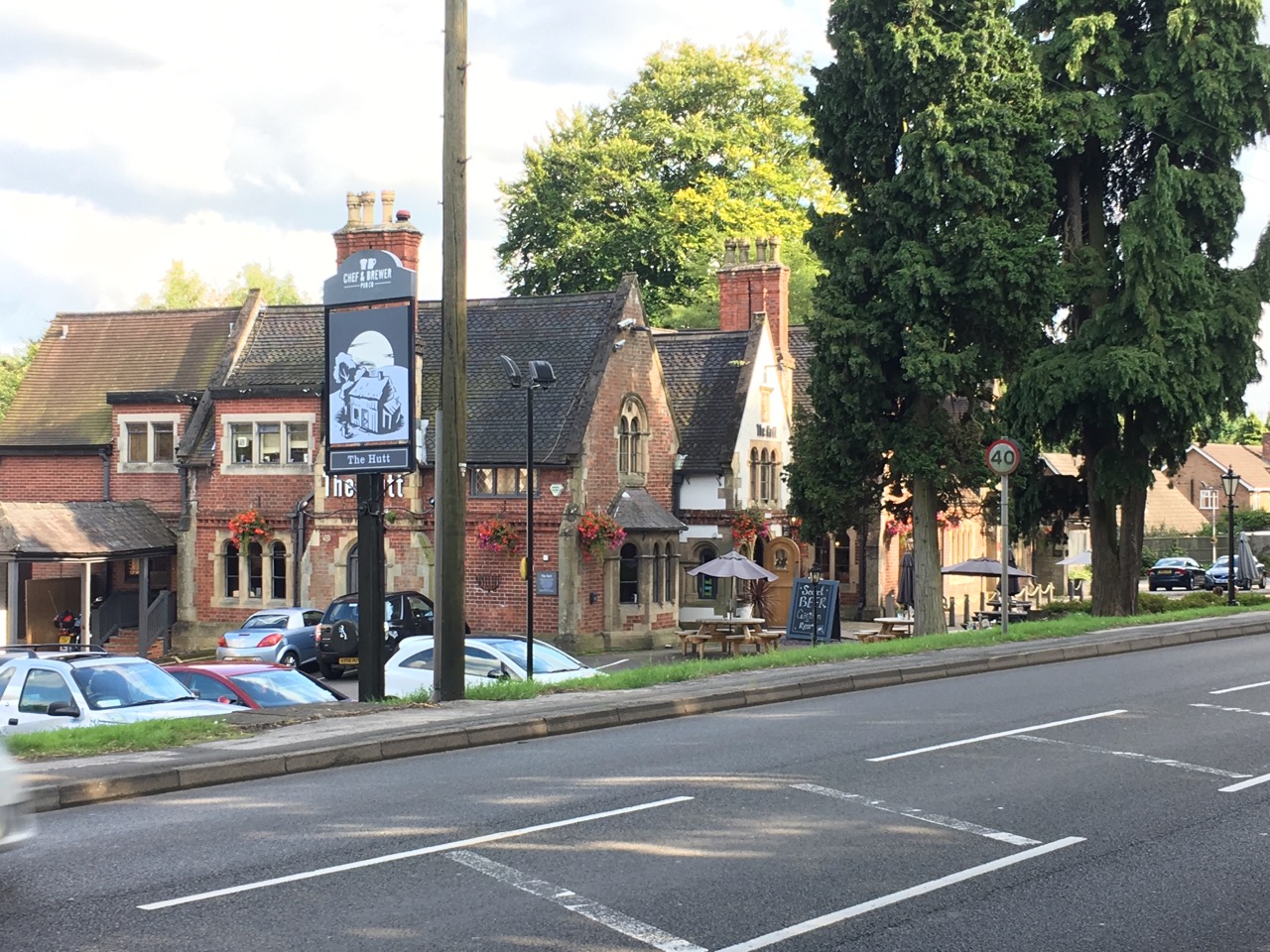
The Hutt
The Hutt is a public house located in the village of Ravenshead in Nottinghamshire, opposite Newstead Abbey. The pub was built on the site of The Royal...
Robin Hood Hills, Nottinghamshire
Robin Hood Hills are a steep sided range of sandstone hills forming a natural amphitheatre surrounding the villages of Annesley and Newstead in Nottinghamshire...

Portland College
Portland College is an education establishment near Ravenshead, Nottinghamshire, England. It is situated in 20 acres (81,000 m2) of Sherwood Forest approximately...

Notts Golf Club
Notts Golf Club, more commonly referred to simply as Hollinwell, is an 18-hole members golf club in Nottinghamshire, England which has hosted a number...
1906 News of the World Match Play
The 1906 News of the World Match Play was the fourth News of the World Match Play tournament. It was played from Tuesday 2 to Thursday 4 October at Notts...
Annesley South Junction Halt railway station
Annesley South Junction Halt is a former halt on the Great Central Railway on the section between Nottingham Victoria and Sheffield Victoria. The halt...
Nearby Amenities
Located within 500m of 53.08638,-1.1885103Have you been to Knightcross Dale?
Leave your review of Knightcross Dale below (or comments, questions and feedback).