Bell Lands Wood
Wood, Forest in Yorkshire Selby
England
Bell Lands Wood

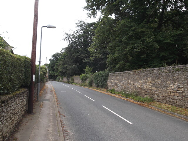
Bell Lands Wood is a picturesque woodland located in Yorkshire, England. Covering an area of approximately 100 acres, it is renowned for its natural beauty and rich biodiversity. The wood is situated in a rural landscape, surrounded by rolling hills and open fields, providing a tranquil escape from the bustling city life.
As visitors enter Bell Lands Wood, they are greeted by a dense canopy of trees, predominantly consisting of oak, birch, and beech. The woodland floor is adorned with a variety of wildflowers, creating a vibrant and colorful carpet during the spring and summer months.
The wood is home to an array of wildlife, making it a haven for nature enthusiasts and photographers. It is not uncommon to spot squirrels darting among the treetops or deer grazing peacefully in the clearings. In addition, Bell Lands Wood is a paradise for birdwatchers, attracting species such as woodpeckers, owls, and various songbirds.
The wood offers several walking trails, allowing visitors to explore its natural wonders at their own pace. These paths wind through the forest, leading to hidden streams and secluded picnic spots. The sound of running water adds to the peaceful ambiance, creating a truly immersive experience in nature.
Bell Lands Wood is not only a recreational spot but also plays a vital role in the local ecosystem. It helps regulate the climate, improve air quality, and provides a habitat for countless species of plants and animals.
Overall, Bell Lands Wood is a captivating woodland that offers a serene and enchanting experience for all who visit. Its diverse flora and fauna, coupled with its scenic beauty, make it a must-visit destination for nature lovers and those seeking a peaceful retreat in the heart of Yorkshire.
If you have any feedback on the listing, please let us know in the comments section below.
Bell Lands Wood Images
Images are sourced within 2km of 53.674123/-1.1764595 or Grid Reference SE5420. Thanks to Geograph Open Source API. All images are credited.


Bell Lands Wood is located at Grid Ref: SE5420 (Lat: 53.674123, Lng: -1.1764595)
Division: West Riding
Administrative County: North Yorkshire
District: Selby
Police Authority: North Yorkshire
What 3 Words
///ages.roughest.thundered. Near Norton, South Yorkshire
Nearby Locations
Related Wikis

Whitley Preceptory
Whitley Preceptory was a priory in North Yorkshire, England. The site of the priory is thought to have been located 0.62 miles (1 km) south west of the...
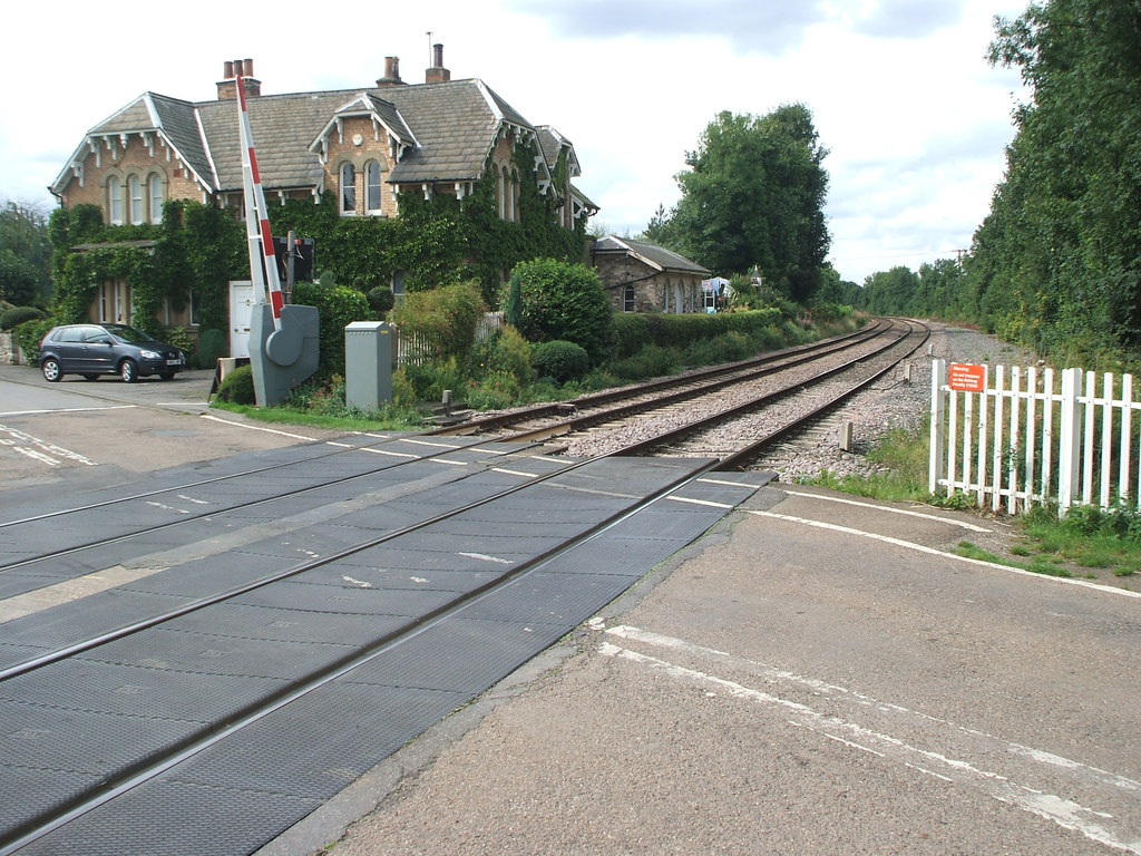
Womersley railway station
Womersley railway station was a railway station in North Yorkshire, England. It was situated on the Askern Branch Line and was built by the Lancashire...

Womersley
Womersley is a village in North Yorkshire, England. The parish population at the 2011 census (including Stapleton and Walden Stubbs) was 515. It is near...

Whitley, North Yorkshire
Whitley is a village in North Yorkshire, England, close to the Aire and Calder Navigation and the M62 motorway. The population of the village at the 2001...

Cridling Stubbs
Cridling Stubbs is a village and a civil parish in the Selby district, in the English county of North Yorkshire. It is near the town of Knottingley. Its...

Stapleton Colony
The Stapleton Colony, based in Stapleton, North Yorkshire, is a Christian pacifist and anarchist community, and the only remaining colony of the Brotherhood...

Whitley Bridge railway station
Whitley Bridge railway station serves the villages of Eggborough and Whitley in North Yorkshire, England. It is located on the Pontefract Line and is 20...
Stapleton, Selby
Stapleton is a village in the Selby district of North Yorkshire, England. The population taken at the 2011 Census was less than 100. Details are included...
Have you been to Bell Lands Wood?
Leave your review of Bell Lands Wood below (or comments, questions and feedback).