Dudley Port
Settlement in Staffordshire
England
Dudley Port
Dudley Port is a small town located in the county of Staffordshire, England. Situated near the borders of the larger towns of Dudley and Tipton, Dudley Port serves as a significant transportation hub due to its strategic location.
The town is characterized by a mix of residential and industrial areas. It is home to a diverse community, with a population of approximately 5,000 people. Dudley Port offers a range of amenities, including shops, schools, and recreational facilities, making it a self-sufficient town for its residents.
One of the notable features of Dudley Port is its transportation links. The town benefits from excellent connectivity, with its own railway station providing direct access to major cities such as Birmingham and Wolverhampton. Additionally, Dudley Port is intersected by several major roads, including the A4123 and the M5 motorway, making it easily accessible by car.
The industrial sector plays a significant role in Dudley Port's economy. The town is home to a number of manufacturing and distribution companies, which provide employment opportunities for local residents. This industrial presence is complemented by the nearby Merry Hill Shopping Centre, one of the largest retail complexes in the United Kingdom, attracting visitors from both Dudley Port and surrounding areas.
Overall, Dudley Port is a thriving town in Staffordshire, offering a mix of residential, industrial, and commercial opportunities. With its strong transportation links and diverse community, it continues to be an important part of the region's landscape.
If you have any feedback on the listing, please let us know in the comments section below.
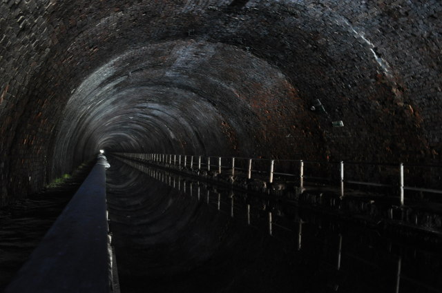
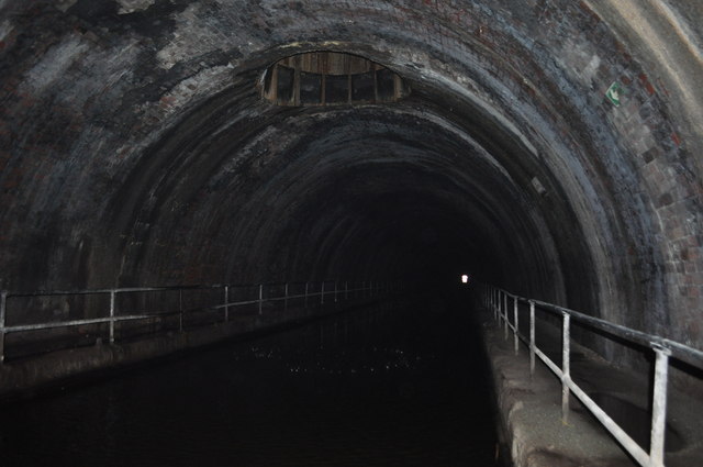
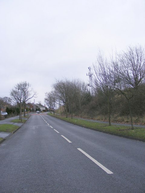
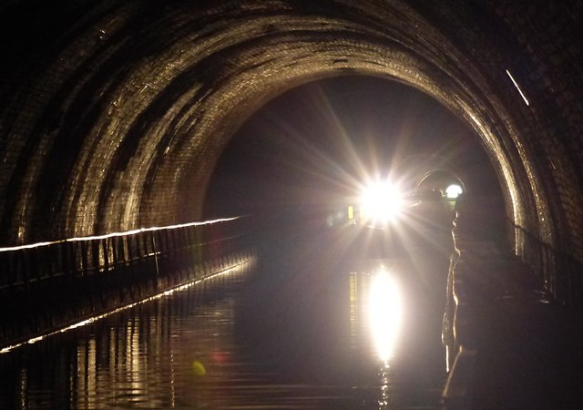
Dudley Port Images
Images are sourced within 2km of 52.52026/-2.051255 or Grid Reference SO9691. Thanks to Geograph Open Source API. All images are credited.


Dudley Port is located at Grid Ref: SO9691 (Lat: 52.52026, Lng: -2.051255)
Unitary Authority: Sandwell
Police Authority: West Midlands
What 3 Words
///deck.assist.pages. Near Tipton, West Midlands
Nearby Locations
Related Wikis

Tipton Catastrophe
The Tipton Catastrophe or Dudley Port explosion was a 1922 munitions explosion in the South Staffordshire town of Tipton, England, in which 19 teenaged...

Tividale Quays
Tividale Quays is a residential area of Tipton in the West Midlands, England, centred on Monins Avenue. It was developed in the early 1990s on derelict...
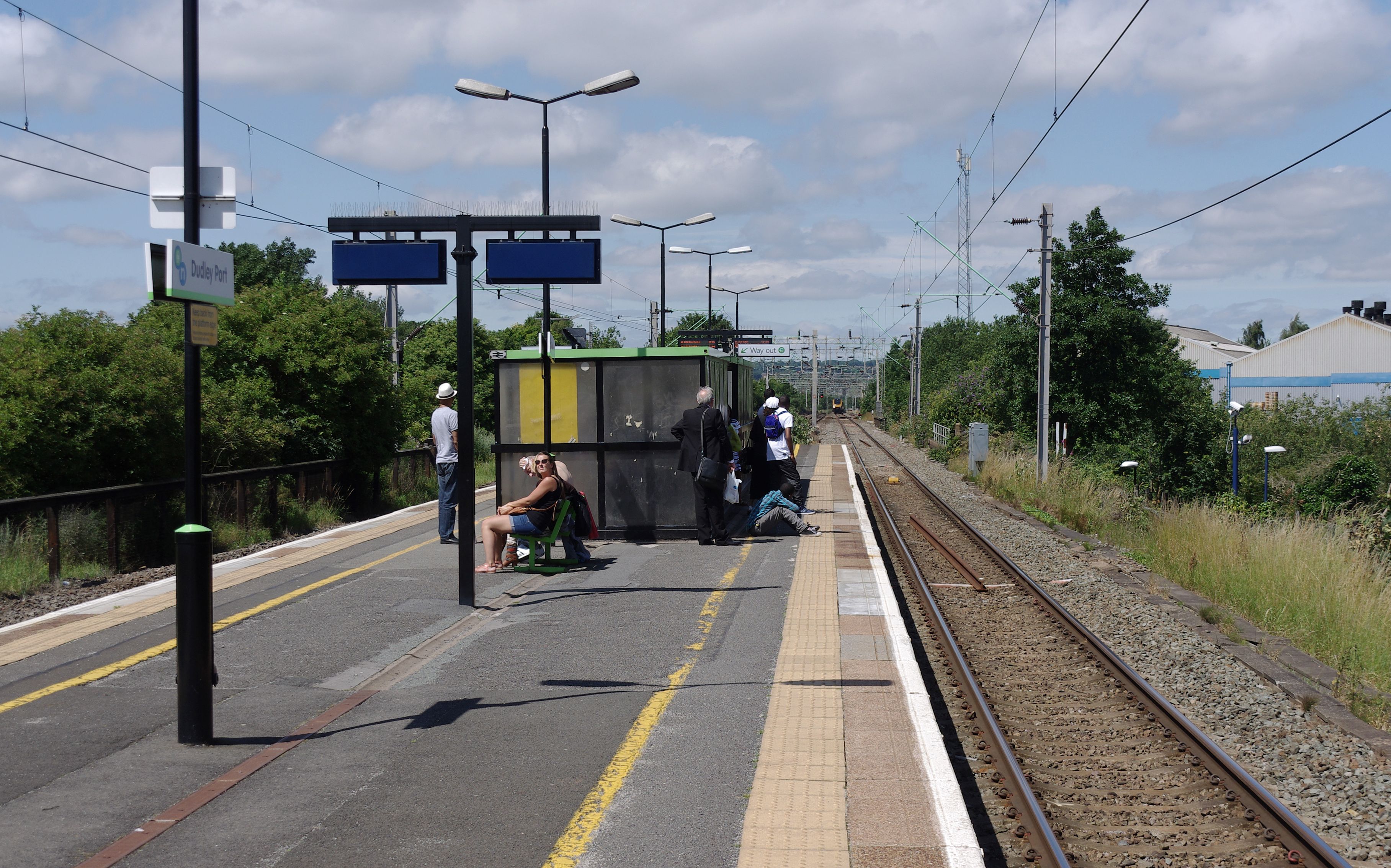
Dudley Port railway station
Dudley Port railway station serves the Dudley Port and Great Bridge areas of Tipton, West Midlands, England, Situated on the Stour Valley Line \ Rugby...

Sheepwash Urban Park
Sheepwash Urban Park is a Local Nature Reserve (LNR), situated in Sandwell Metropolitan Borough, in the West Midlands conurbation of the United Kingdom...

Tividale
Tividale is a district of the Metropolitan Borough of Sandwell, West Midlands. It straddles the borders of the towns of Dudley, Tipton, Oldbury. ��2�...
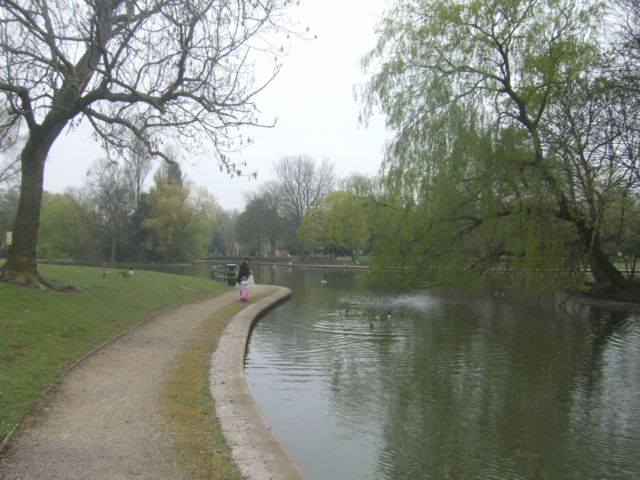
Victoria Park, Tipton
Victoria Park is a public park situated in Tipton, West Midlands (formerly Staffordshire), England. It is Grade II listed with the National Register of...

Tividale F.C.
Tividale Football Club is a football club based in Tividale, near Dudley, West Midlands, England. They were established in 1954. In the 2011–12 season...

Smethwick Khalsa Football Federation F.C.
Smethwick Rangers Football Club is a football club based in Smethwick, West Midlands, England. They are currently members of the Midland League Division...
Nearby Amenities
Located within 500m of 52.52026,-2.051255Have you been to Dudley Port?
Leave your review of Dudley Port below (or comments, questions and feedback).