Dudley Wood
Settlement in Worcestershire
England
Dudley Wood

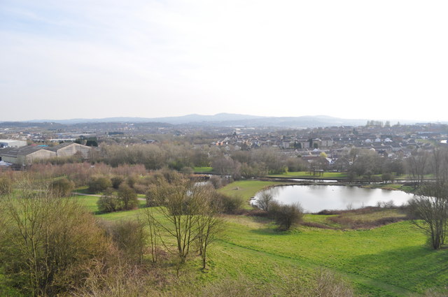
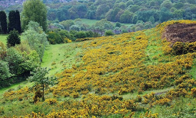
Dudley Wood is a small village located in Worcestershire, England. Situated approximately 3 miles north of the town of Dudley, it is part of the wider Dudley Metropolitan Borough. The village is nestled in a semi-rural area, surrounded by beautiful countryside and green spaces.
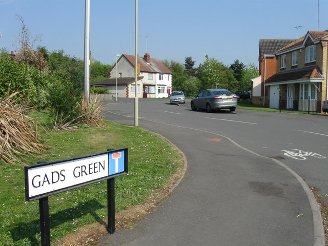
Dudley Wood is primarily a residential area, with a mix of housing styles ranging from traditional cottages to modern developments. The village offers a tranquil and peaceful environment, making it a popular choice for families and those seeking a quieter lifestyle.
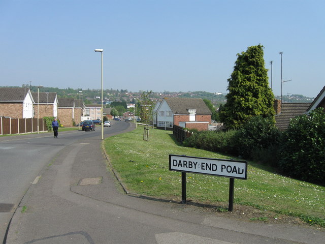
Despite its rural setting, Dudley Wood benefits from excellent transportation links. The nearby A4123 road provides easy access to the wider region, connecting the village to Dudley town center, Wolverhampton, and Birmingham. Additionally, public transportation options are readily available, with regular bus services connecting Dudley Wood to other local areas.
Residents of Dudley Wood have access to a range of amenities and facilities. The village is home to a few local shops, including convenience stores and small independent businesses. For a wider selection of shopping and entertainment options, residents can easily access the nearby town of Dudley, which offers a variety of retail outlets, restaurants, and leisure facilities.
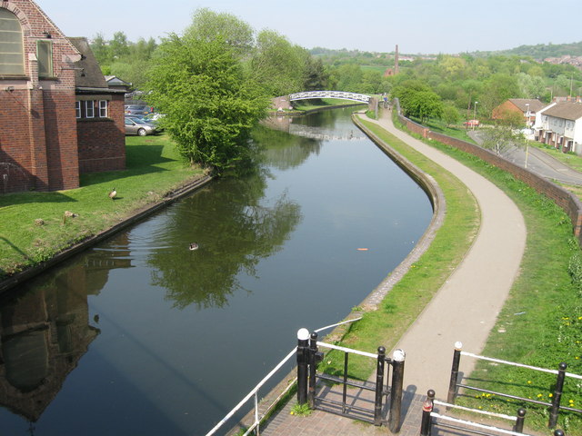
Nature enthusiasts will appreciate the village's proximity to several parks and green spaces. The nearby Saltwells Nature Reserve provides ample opportunities for walking, picnicking, and wildlife spotting. Additionally, the area is blessed with beautiful views of the surrounding countryside, making it an ideal location for outdoor enthusiasts.
In summary, Dudley Wood offers a charming and peaceful setting, with excellent transportation links and access to amenities. It is a desirable place to live for those seeking a mix of rural tranquility and convenience.
If you have any feedback on the listing, please let us know in the comments section below.
Dudley Wood Images
Images are sourced within 2km of 52.478165/-2.087574 or Grid Reference SO9486. Thanks to Geograph Open Source API. All images are credited.


Dudley Wood is located at Grid Ref: SO9486 (Lat: 52.478165, Lng: -2.087574)
Unitary Authority: Dudley
Police Authority: West Midlands
What 3 Words
///town.moral.muddy. Near Netherton, West Midlands
Nearby Locations
Related Wikis

Dudley Wood Stadium
Dudley Wood Stadium also known as Cradley Heath Greyhound Stadium was a greyhound racing and speedway stadium. == Origins == The origins of the track date...

Mushroom Green
Mushroom Green is a hamlet in the Dudley Wood/Netherton area of Dudley, UK. It is known for its traditional chain making shop, which is the only remaining...
Doulton's Claypit
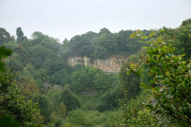
Doulton's Claypit (grid reference SO936870) is a 3.3 hectares (8.2 acres) geological site of Special Scientific Interest in the West Midlands. The site...
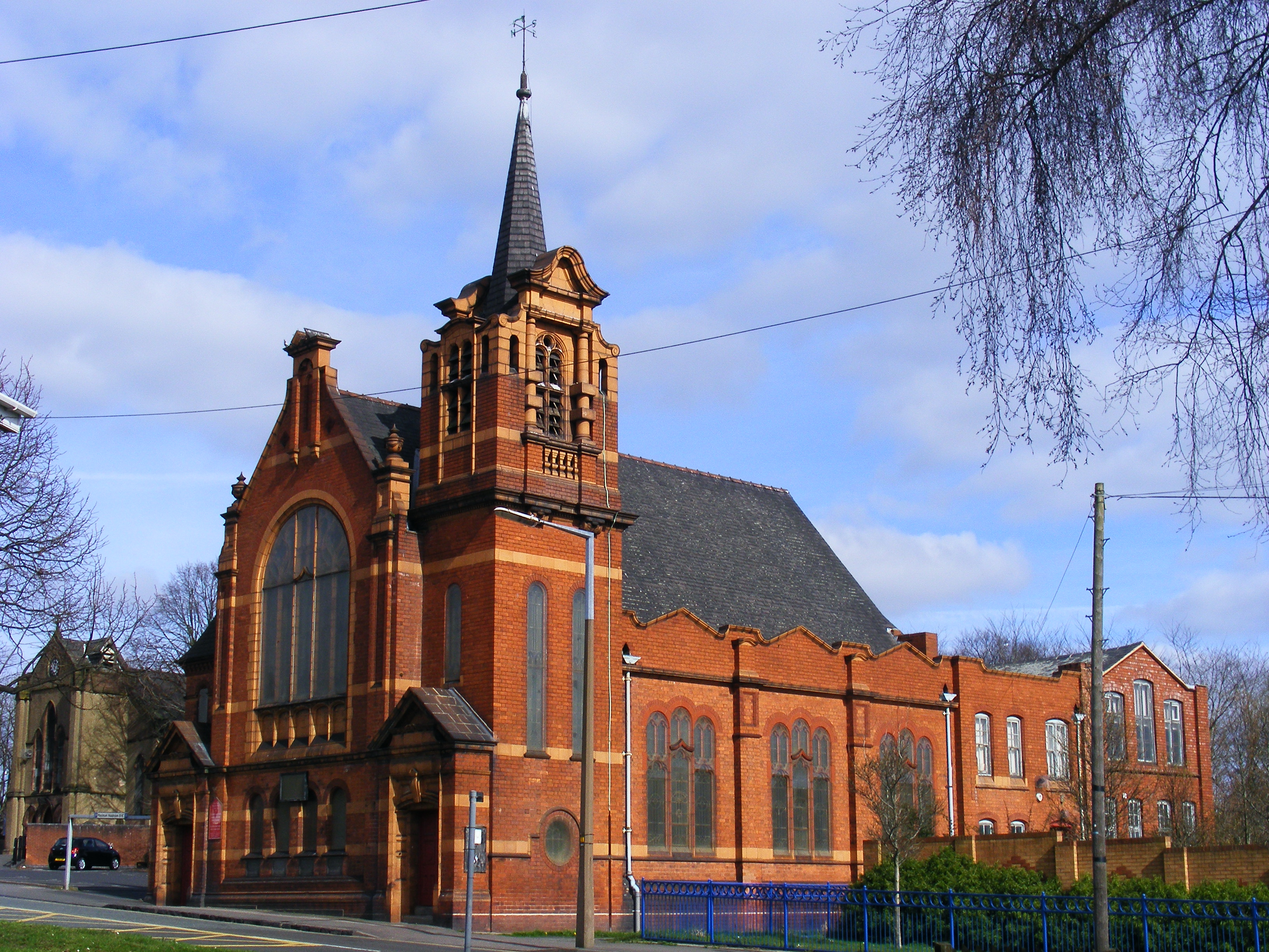
Cradley Heath Baptist Church
Cradley Heath Baptist Church, also known as Four-ways Baptist Church, was the first Church of any denomination to build a chapel in Cradley Heath, West...
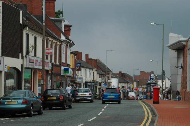
Cradley Heath
Cradley Heath is a town in the Metropolitan Borough of Sandwell, West Midlands, England. It is 2 miles (3 km) north-west of Halesowen, 3 miles (5 km) south...

Netherton Reservoir
Netherton Reservoir - otherwise known as Lodge Farm Reservoir or locally known as The Rezza is a canal feeder reservoir in the Netherton district of Dudley...

Saltwells Local Nature Reserve
Saltwells Local Nature Reserve is situated in the Netherton area of Dudley Metropolitan Borough in West Midlands, England. The reserve, created in 1981...
Pensnett Chase
Pensnett Chase was a wooded area of land owned by the Lords of Dudley Castle in the parishes of Kingswinford and Dudley (or mainly so). As a chase, it...
Nearby Amenities
Located within 500m of 52.478165,-2.087574Have you been to Dudley Wood?
Leave your review of Dudley Wood below (or comments, questions and feedback).