Dudley
Settlement in Staffordshire
England
Dudley
Dudley is a historic town located in the county of Staffordshire, England. Situated in the West Midlands region, it lies approximately 6 miles (10 kilometers) south-east of Wolverhampton and 8 miles (13 kilometers) north-west of Birmingham. With a population of around 80,000 residents, Dudley is the largest town in the Metropolitan Borough of Dudley.
The town is known for its rich industrial heritage, particularly in coal mining and limestone quarrying. In the 19th century, Dudley was a major manufacturing and trading center, with industries such as ironworking, glassmaking, and textiles playing a crucial role in its economy. Today, Dudley has transformed into a more diverse economy, with sectors such as retail, leisure, and tourism growing in prominence.
One of the main attractions in Dudley is the historic Dudley Castle, which is perched on a hill overlooking the town. The castle dates back to the 11th century and has witnessed significant events throughout British history. It now serves as a renowned tourist destination and is home to the Dudley Zoological Gardens, housing a wide range of exotic animals.
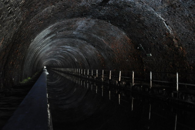
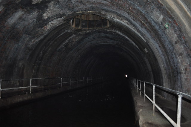
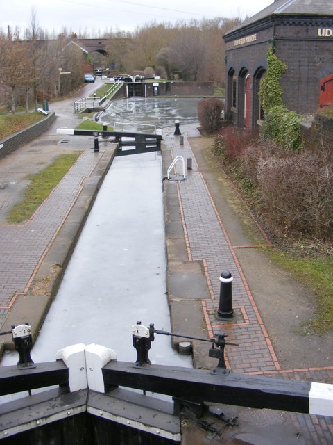
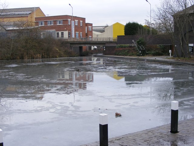
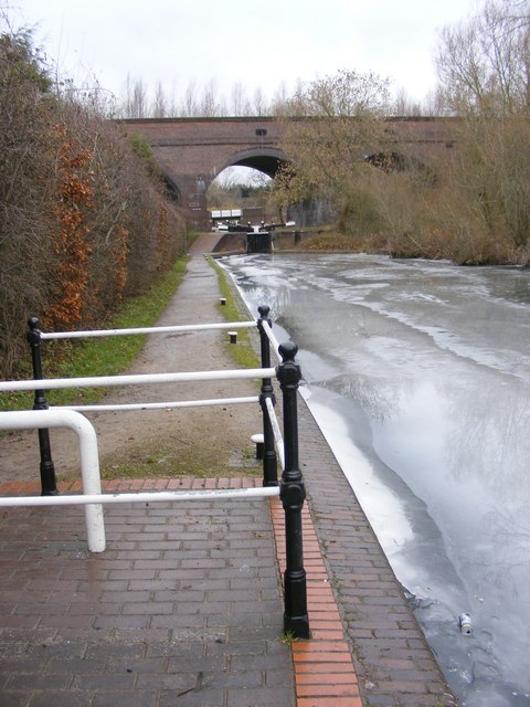
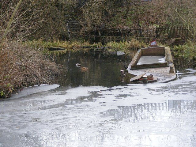
Dudley is also famous for its extensive canal network, including the Dudley Tunnel and the Netherton Tunnel. These waterways played a vital role in the town's industrial past, facilitating the transportation of goods and raw materials.
In terms of education, Dudley boasts a number of primary and secondary schools, as well as Dudley College, which offers a variety of further and higher education courses. The town is well-connected to the rest of the country through its excellent transport links, with the M5 and M6 motorways providing easy access to nearby cities. Additionally, Dudley benefits from a comprehensive public transportation network, including bus and rail services.
If you have any feedback on the listing, please let us know in the comments section below.
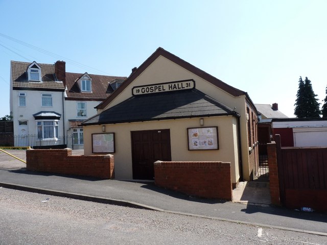
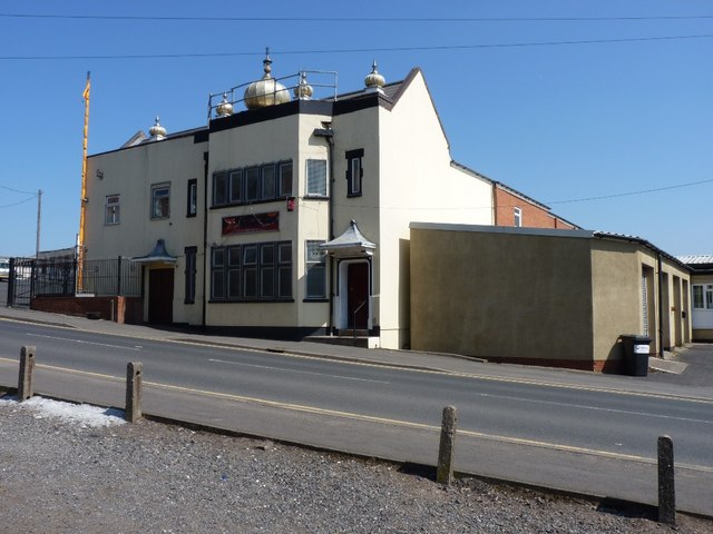
Dudley Images
Images are sourced within 2km of 52.510049/-2.08316 or Grid Reference SO9490. Thanks to Geograph Open Source API. All images are credited.


Dudley is located at Grid Ref: SO9490 (Lat: 52.510049, Lng: -2.08316)
Unitary Authority: Dudley
Police Authority: West Midlands
What 3 Words
///neat.flying.navy. Near Dudley, West Midlands
Related Wikis

Dudley Girls High School
Dudley Girls' High School was a selective higher education school which provided education for girls aged 11–18 years. == History == It was located in...
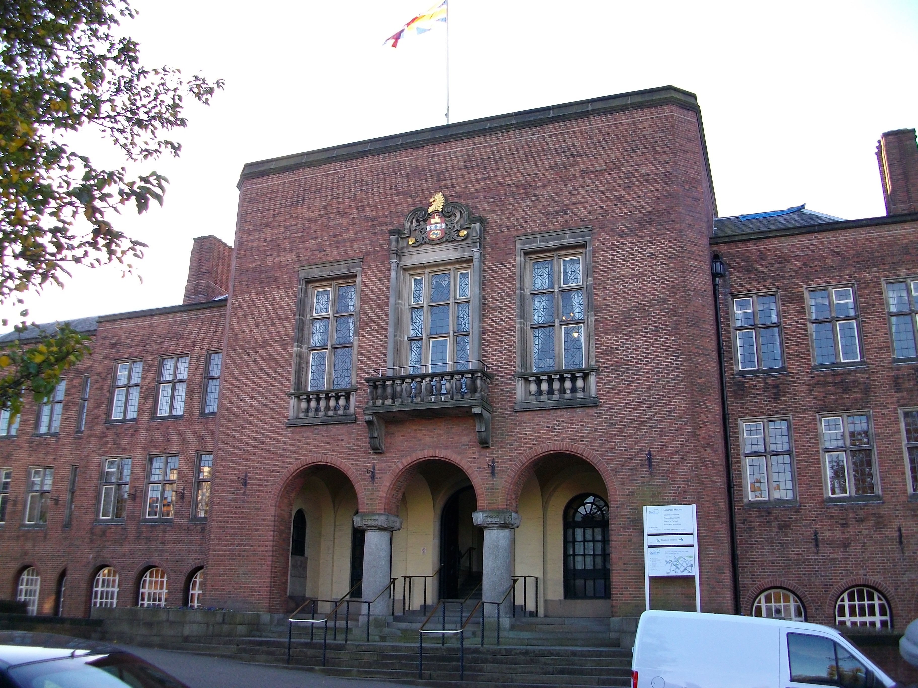
Dudley Council House
Dudley Council House is a municipal building in Priory Road, Dudley, West Midlands, England. The Council House, which is the meeting place of Dudley Metropolitan...
Dudley Museum and Art Gallery
Dudley Museum and Art Gallery was a public museum and art gallery located in the town centre of Dudley in the West Midlands, England. It was opened in...
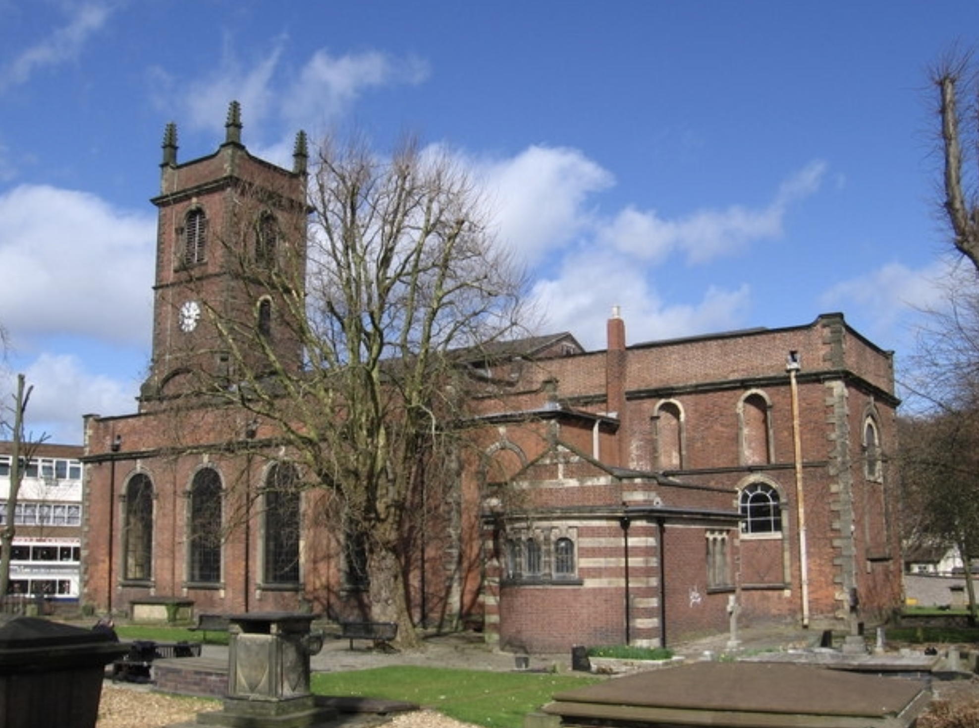
Church of St Edmund, Dudley
The Church of Saint Edmund is a Grade II* listed Anglo-Catholic parish church on Castle Street in the town of Dudley in the West Midlands County of England...
Nearby Amenities
Located within 500m of 52.510049,-2.08316Have you been to Dudley?
Leave your review of Dudley below (or comments, questions and feedback).