Berry's Copse

Wood, Forest in Berkshire

England

Berry's Copse

Roundfield, Upper Bucklebury One of two cul-de-sacs sharing the same name.
Roundfield, Upper Bucklebury Credit: Oscar

Berry's Copse is a picturesque wood located in Berkshire, England. Situated in the heart of the county, this copse is a popular destination for nature enthusiasts and those seeking tranquility amidst the bustling modern life. Covering an area of approximately 50 acres, Berry's Copse is a diverse and vibrant forest that offers a rich variety of flora and fauna.

The copse is primarily composed of native British trees, including oak, beech, and birch. These majestic trees create a dense canopy that provides shade and shelter for the diverse wildlife that calls Berry's Copse home. The forest floor is adorned with a carpet of wildflowers during the spring and summer months, adding a burst of color to the landscape.

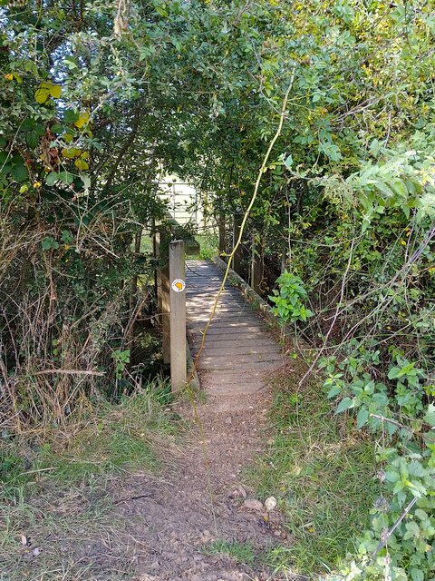
Several well-maintained footpaths wind through Berry's Copse, allowing visitors to explore the woodland and discover its hidden treasures. Along these paths, one can encounter numerous bird species such as woodpeckers, nightingales, and tawny owls, making it a great spot for birdwatching. Squirrels can also be spotted scampering through the trees, while rabbits and foxes occasionally make an appearance.

Berry's Copse is not only a haven for wildlife but also serves as an important ecological site. The copse provides a vital habitat for various endangered and protected species, contributing to the preservation of biodiversity in the region.

Overall, Berry's Copse is a captivating woodland that offers a peaceful retreat from the outside world. Its natural beauty, diverse wildlife, and ecological significance make it a must-visit destination for nature lovers and anyone seeking solace in the embrace of nature.

If you have any feedback on the listing, please let us know in the comments section below.

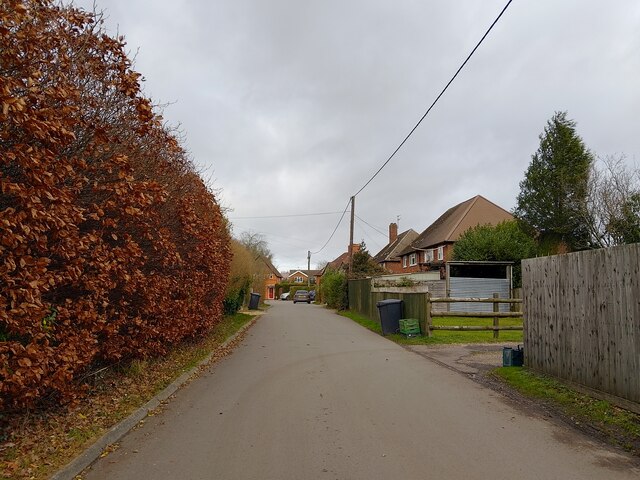
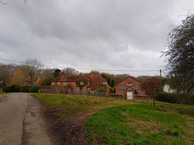
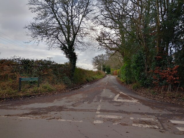
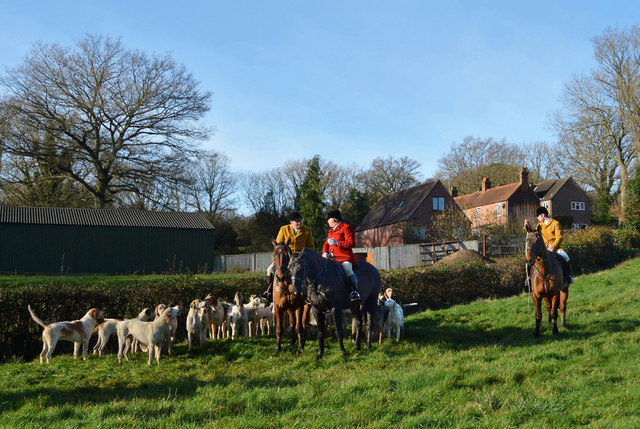
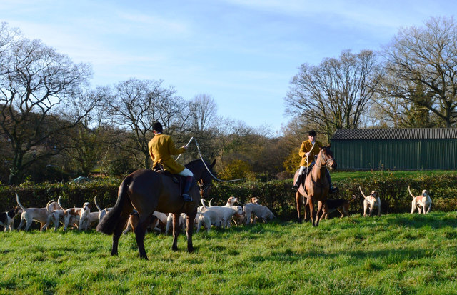
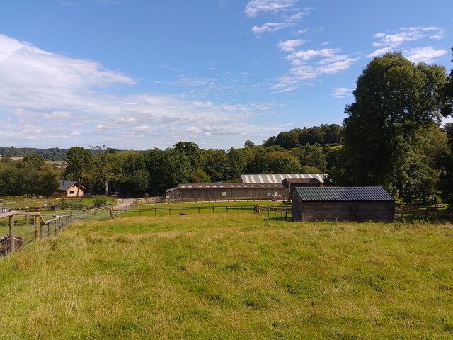
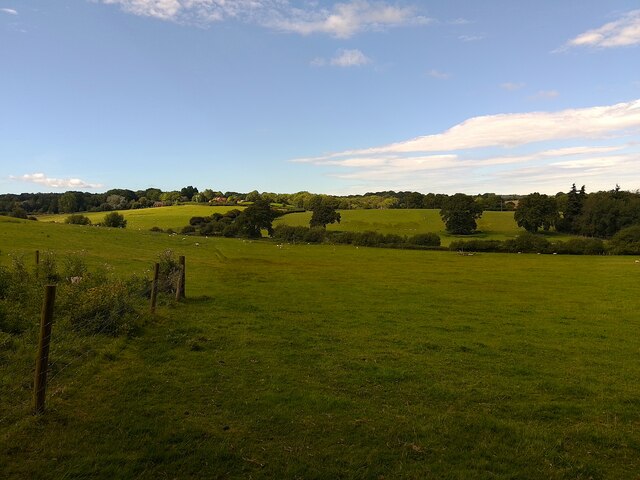
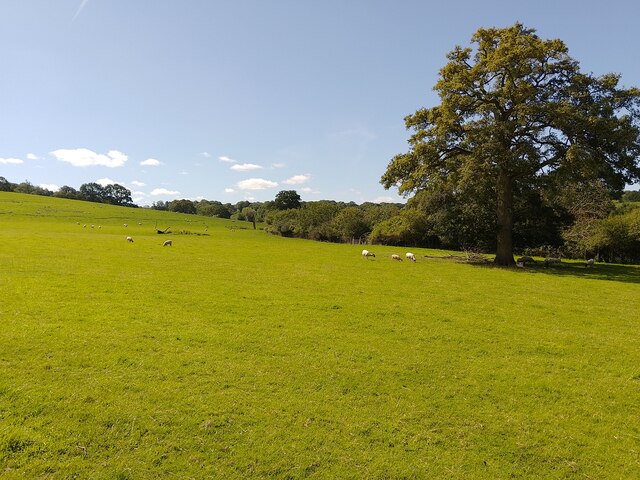
Berry's Copse Images

Images are sourced within 2km of 51.411671/-1.219473 or Grid Reference SU5468. Thanks to Geograph Open Source API. All images are credited.

Roundfield, Upper Bucklebury One of two cul-de-sacs sharing the same name.
Roundfield, Upper Bucklebury
One of two cul-de-sacs sharing the same name.
Turners Green, Upper Bucklebury Apple Tree Cottage to the left, a small church to the centre and Turners Green House to the right.
Turners Green, Upper Bucklebury
Apple Tree Cottage to the left, a small church to the centre and Turners Green House to the right.
Windmill Lane Off Carbinswood Lane, leading to School Hill.
Windmill Lane
Off Carbinswood Lane, leading to School Hill.
Before the hunt, Bucklebury, Berkshire
Excited hounds, Bucklebury, Berkshire
Bucklebury Farm chickens Beside the public footpath.
Bucklebury Farm chickens
Beside the public footpath.
Bucklebury Farm footpath A public footpath crossing Bucklebury Farm. The route of the path is a little confusing across the attraction itself.

If approaching from the north, you cross the car park after crossing the field near Pease Hill, follow the pedestrian entrance to the park, then walk through the "exit" gate to the right (west) of the admissions building. You then climb or open and close three metal gates to fields, and walk on the left (east) side of the fence in this field until you reach two stiles. Cross these and then follow the fenceline until you reach a gate and exit to the restricted byway.

If approaching from the south, you go through the metal gate from the restricted byway, follow the fenceline to a pair of stiles, cross both and follow the fenceline down to a series of three gates. Open and close or climb over these three through fields until you reach the exit gate. Go through the gate and follow the pedestrian walk to the car park and continue to the metal gate crossing a field beside the entrance driveway.

Shoutout to the kind gentleman who helped me with the route on my walk!
Bucklebury Farm footpath
A public footpath crossing Bucklebury Farm. The route of the path is a little confusing across the attraction itself. If approaching from the north, you cross the car park after crossing the field near Pease Hill, follow the pedestrian entrance to the park, then walk through the "exit" gate to the right (west) of the admissions building. You then climb or open and close three metal gates to fields, and walk on the left (east) side of the fence in this field until you reach two stiles. Cross these and then follow the fenceline until you reach a gate and exit to the restricted byway. If approaching from the south, you go through the metal gate from the restricted byway, follow the fenceline to a pair of stiles, cross both and follow the fenceline down to a series of three gates. Open and close or climb over these three through fields until you reach the exit gate. Go through the gate and follow the pedestrian walk to the car park and continue to the metal gate crossing a field beside the entrance driveway. Shoutout to the kind gentleman who helped me with the route on my walk!
Bucklebury Farm and footpath A public footpath crossing Bucklebury Farm. The route of the path is a little confusing across the attraction itself.

If approaching from the north, you cross the car park after crossing the field near Pease Hill, follow the pedestrian entrance to the park, then walk through the "exit" gate to the right (west) of the admissions building. You then climb or open and close three metal gates to fields, and walk on the left (east) side of the fence in this field until you reach two stiles. Cross these and then follow the fenceline until you reach a gate and exit to the restricted byway.

If approaching from the south, you go through the metal gate from the restricted byway, follow the fenceline to a pair of stiles, cross both and follow the fenceline down to a series of three gates. Open and close or climb over these three through fields until you reach the exit gate. Go through the gate and follow the pedestrian walk to the car park and continue to the metal gate crossing a field beside the entrance driveway.

Shoutout to the kind gentleman who helped me with the route on my walk!
Bucklebury Farm and footpath
A public footpath crossing Bucklebury Farm. The route of the path is a little confusing across the attraction itself. If approaching from the north, you cross the car park after crossing the field near Pease Hill, follow the pedestrian entrance to the park, then walk through the "exit" gate to the right (west) of the admissions building. You then climb or open and close three metal gates to fields, and walk on the left (east) side of the fence in this field until you reach two stiles. Cross these and then follow the fenceline until you reach a gate and exit to the restricted byway. If approaching from the south, you go through the metal gate from the restricted byway, follow the fenceline to a pair of stiles, cross both and follow the fenceline down to a series of three gates. Open and close or climb over these three through fields until you reach the exit gate. Go through the gate and follow the pedestrian walk to the car park and continue to the metal gate crossing a field beside the entrance driveway. Shoutout to the kind gentleman who helped me with the route on my walk!
Bucklebury Farm footpath A public footpath crossing Bucklebury Farm. The route of the path is a little confusing across the attraction itself.

If approaching from the north, you cross the car park after crossing the field near Pease Hill, follow the pedestrian entrance to the park, then walk through the "exit" gate to the right (west) of the admissions building. You then climb or open and close three metal gates to fields, and walk on the left (east) side of the fence in this field until you reach two stiles. Cross these and then follow the fenceline until you reach a gate and exit to the restricted byway.

If approaching from the south, you go through the metal gate from the restricted byway, follow the fenceline to a pair of stiles, cross both and follow the fenceline down to a series of three gates. Open and close or climb over these three through fields until you reach the exit gate. Go through the gate and follow the pedestrian walk to the car park and continue to the metal gate crossing a field beside the entrance driveway.

Shoutout to the kind gentleman who helped me with the route on my walk!
Bucklebury Farm footpath
A public footpath crossing Bucklebury Farm. The route of the path is a little confusing across the attraction itself. If approaching from the north, you cross the car park after crossing the field near Pease Hill, follow the pedestrian entrance to the park, then walk through the "exit" gate to the right (west) of the admissions building. You then climb or open and close three metal gates to fields, and walk on the left (east) side of the fence in this field until you reach two stiles. Cross these and then follow the fenceline until you reach a gate and exit to the restricted byway. If approaching from the south, you go through the metal gate from the restricted byway, follow the fenceline to a pair of stiles, cross both and follow the fenceline down to a series of three gates. Open and close or climb over these three through fields until you reach the exit gate. Go through the gate and follow the pedestrian walk to the car park and continue to the metal gate crossing a field beside the entrance driveway. Shoutout to the kind gentleman who helped me with the route on my walk!
Bucklebury landscape A field of sheep near to Redhill Copse.
Bucklebury landscape
A field of sheep near to Redhill Copse.
Bucklebury footpath A public footpath crossing a field near to Redhill Copse.
Bucklebury footpath
A public footpath crossing a field near to Redhill Copse.
Bucklebury footpath A public footpath around a field, near to Bucklebury.
Bucklebury footpath
A public footpath around a field, near to Bucklebury.
Bucklebury field
Bucklebury field
Bucklebury footpath A public footpath around the edge of a field.
Bucklebury footpath
A public footpath around the edge of a field.
Bucklebury footpath A public footpath crossing a field near to Bucklebury.
Bucklebury footpath
A public footpath crossing a field near to Bucklebury.
Bucklebury footpath A public footpath around the edge of a field near to Bucklebury. It enters Redhill Copse ahead.
Bucklebury footpath
A public footpath around the edge of a field near to Bucklebury. It enters Redhill Copse ahead.
Bucklebury footpath A public footpath crossing a field near to Bucklebury.
Bucklebury footpath
A public footpath crossing a field near to Bucklebury.
Bucklebury footbridge A footbridge over a ditch on a public footpath near to Bucklebury. It is rather overgrown: you need to duck underneath the vegetation.
Bucklebury footbridge
A footbridge over a ditch on a public footpath near to Bucklebury. It is rather overgrown: you need to duck underneath the vegetation.
Show me another place!

Berry's Copse is located at Grid Ref: SU5468 (Lat: 51.411671, Lng: -1.219473)

Unitary Authority: West Berkshire

Police Authority: Thames Valley

What 3 Words

///dumpling.trip.shielding. Near Thatcham, Berkshire

Related Wikis

Colthrop

Colthrop is a suburb of the town of Thatcham in the English county of Berkshire, England. == Geography == Colthrop is part of the civil parish of Thatcham...

Midgham

Midgham is a village and civil parish occupying slopes and the flood plain on the north side of the River Kennet, which in summer months draws much of...

Briff Lane Meadows

Briff Lane Meadows is a 8.9-hectare (22-acre) biological Site of Special Scientific Interest north of Thatcham in Berkshire.These meadows have unimproved...

Bucklebury Common

Bucklebury Common is an elevated common consisting of woodland with a few relatively small clearings in the English county of Berkshire, within the civil...

Bucklebury Manor

Bucklebury Manor is a Grade II listed manor house in the civil parish of Bucklebury in the English county of Berkshire. Since 2012, it has been the home...

Colthrop Lock

Colthrop Lock is a lock on the Kennet and Avon Canal, at Thatcham, Berkshire, England. Colthrop Lock was built between 1718 and 1723 under the supervision...

Midgham Green

Midgham Green is a hamlet in the civil parish of Midgham in the English county of Berkshire. The settlement lies near to the A4 road and is located approximately...

Midgham Lock

Midgham Lock is a lock on the Kennet and Avon Canal, between Thatcham and Woolhampton, Berkshire, England. Midgham Lock was built between 1718 and 1723...

Nearby Amenities

Located within 500m of 51.411671,-1.219473
Kiln Meadows Farm
Landuse: farmland
Lat/Long: 51.4096628/-1.2130723
Post Box
Lat/Long: 51.413747/-1.2138721
Upper Bucklebury
Place: village
Wikidata: Q37873842
Lat/Long: 51.4146583/-1.2234581
Defibrillator
Emergency: defibrillator
Indoor: no
Opening Hours: 24/7
Lat/Long: 51.4142786/-1.2251089
Bicycle Parking
Lat/Long: 51.4134316/-1.2179337
Post Box
Operator: Royal Mail
Post Box Type: pillar
Ref: RG7 348
Royal Cypher: GVIR
Royal Cypher Wikidata: Q33102169
Lat/Long: 51.4145273/-1.2249461
Waste Basket
Lat/Long: 51.414429/-1.2246665
Bench
Backrest: yes
Lat/Long: 51.4144922/-1.2247328
The data included in this document is from www.openstreetmap.org. The data is made available under ODbL.

Have you been to Berry's Copse?

Leave your review of Berry's Copse below (or comments, questions and feedback).