Blacklands Copse

Wood, Forest in Berkshire

England

Blacklands Copse

Roundfield, Upper Bucklebury One of two cul-de-sacs sharing the same name.
Roundfield, Upper Bucklebury Credit: Oscar

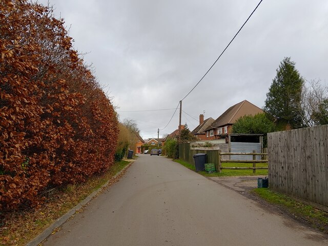
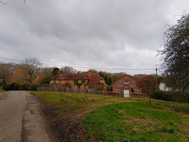
Blacklands Copse is a picturesque woodland located in the county of Berkshire, England. Spanning an area of approximately 50 hectares, it is an important natural habitat and a popular destination for nature enthusiasts and hikers alike.

The copse is predominantly made up of deciduous trees, including oak, beech, and birch, which provide a stunning display of vibrant colors during the autumn season. The dense canopy of the trees creates a cool and shaded environment, perfect for escaping the summer heat. Additionally, the copse is home to a variety of wildlife, including deer, foxes, and numerous bird species, making it a haven for wildlife enthusiasts and birdwatchers.

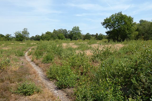
Traversing through the copse, visitors will find a network of well-maintained footpaths, allowing them to explore its beauty at their leisure. These paths meander through the woodland, leading to small clearings and tranquil spots, where one can sit and enjoy the serenity of nature. The copse also boasts a small stream that runs through its heart, enhancing the scenic beauty and providing a peaceful backdrop to the woodland experience.

Blacklands Copse is easily accessible, located just a short distance from the nearby village of Berkshire. It offers ample parking facilities and is well-signposted, ensuring visitors can easily find their way. Whether one seeks a peaceful walk in nature, an opportunity to observe wildlife, or simply a place to relax and unwind, Blacklands Copse provides a perfect escape from the hustle and bustle of everyday life.

If you have any feedback on the listing, please let us know in the comments section below.

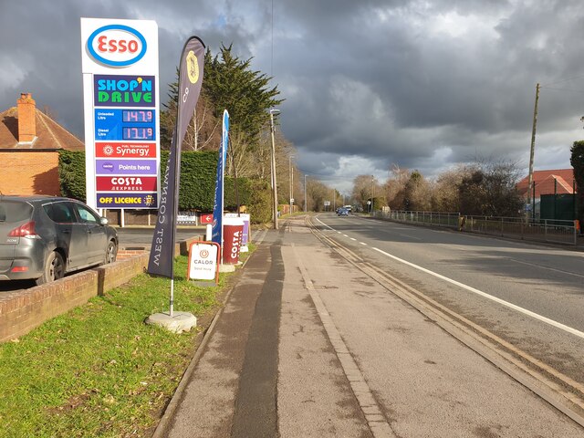
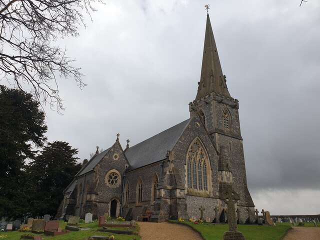
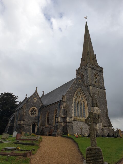
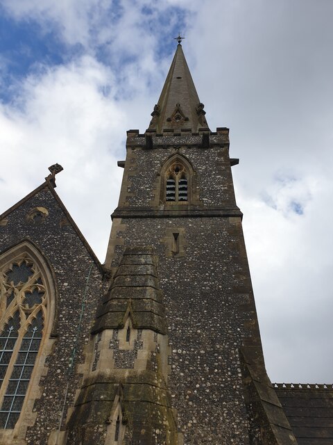
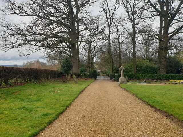
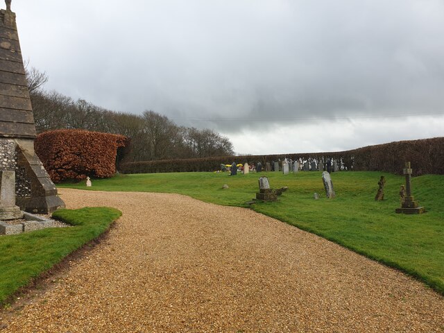
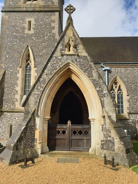
Blacklands Copse Images

Images are sourced within 2km of 51.408852/-1.2215339 or Grid Reference SU5468. Thanks to Geograph Open Source API. All images are credited.

Roundfield, Upper Bucklebury One of two cul-de-sacs sharing the same name.
Roundfield, Upper Bucklebury
One of two cul-de-sacs sharing the same name.
Turners Green, Upper Bucklebury Apple Tree Cottage to the left, a small church to the centre and Turners Green House to the right.
Turners Green, Upper Bucklebury
Apple Tree Cottage to the left, a small church to the centre and Turners Green House to the right.
Farmland, Thatcham Spring barley and Blacklands Copse viewed from the footpath to the east of Colthrop Manor.
Farmland, Thatcham
Spring barley and Blacklands Copse viewed from the footpath to the east of Colthrop Manor.
Common, Bucklebury A bridleway crosses an open area near the southern edge of the common.
Common, Bucklebury
A bridleway crosses an open area near the southern edge of the common.
London Road A view east along London Road in Thatcham, near to the Esso garage.
London Road
A view east along London Road in Thatcham, near to the Esso garage.
London Road A view west along London Road.
London Road
A view west along London Road.
St Matthew's Church St Matthew's Church in Midgham, viewed from the gate by the car park. The church is Grade II listed, list entry number 1303395 <span class="nowrap"><a title="https://historicengland.org.uk/listing/the-list/list-entry/1303395" rel="nofollow ugc noopener" href="https://historicengland.org.uk/listing/the-list/list-entry/1303395">Link</a><img style="margin-left:2px;" alt="External link" title="External link - shift click to open in new window" src="https://s1.geograph.org.uk/img/external.png" width="10" height="10"/></span>
St Matthew's Church
St Matthew's Church in Midgham, viewed from the gate by the car park. The church is Grade II listed, list entry number 1303395 LinkExternal link
St Matthew's Church tower The tower of St Matthew's Church in Midgham.
St Matthew's Church tower
The tower of St Matthew's Church in Midgham.
Path at St Matthew's Church The wide gravel path at St Matthew's Church. It leads from the car park to the various entrances.
Path at St Matthew's Church
The wide gravel path at St Matthew's Church. It leads from the car park to the various entrances.
Graveyard at St Matthew's Church The graveyard at St Matthew's Church, viewed from the wide gravel path.
Graveyard at St Matthew's Church
The graveyard at St Matthew's Church, viewed from the wide gravel path.
St Matthew's Church porch The porch leading to the main entrance of St Matthew's Church. There is a gate to enter the porch. There is an 'open' sign on one of the window sills in the porch, but the church was not open.
St Matthew's Church porch
The porch leading to the main entrance of St Matthew's Church. There is a gate to enter the porch. There is an 'open' sign on one of the window sills in the porch, but the church was not open.
St Matthew's Church St Matthew's Church in Midgham, viewed from the edge of the graveyard by a hedge. The church is Grade II listed, list entry number 1303395 <span class="nowrap"><a title="https://historicengland.org.uk/listing/the-list/list-entry/1303395" rel="nofollow ugc noopener" href="https://historicengland.org.uk/listing/the-list/list-entry/1303395">Link</a><img style="margin-left:2px;" alt="External link" title="External link - shift click to open in new window" src="https://s1.geograph.org.uk/img/external.png" width="10" height="10"/></span>
St Matthew's Church
St Matthew's Church in Midgham, viewed from the edge of the graveyard by a hedge. The church is Grade II listed, list entry number 1303395 LinkExternal link
Field south of St Matthew's Church A field to the south of St Matthew's Church. Over the slight hill is Bath Road (the A4).
Field south of St Matthew's Church
A field to the south of St Matthew's Church. Over the slight hill is Bath Road (the A4).
Church car park A large area used for parking cars at St Matthew's Church.
Church car park
A large area used for parking cars at St Matthew's Church.
Towing path by Kennet and Avon Canal Looking east on the towing path beside the Kennet and Avon Canal, between Thatcham Station and Woolhampton. The path is used as part of both National Cycle Network Route 4 and the Reading to Newbury cycle route.
Towing path by Kennet and Avon Canal
Looking east on the towing path beside the Kennet and Avon Canal, between Thatcham Station and Woolhampton. The path is used as part of both National Cycle Network Route 4 and the Reading to Newbury cycle route.
Colthrop Business Park over canal Looking over the Kennet and Avon Canal at Colthrop Business Park, with the railway line behind.
Colthrop Business Park over canal
Looking over the Kennet and Avon Canal at Colthrop Business Park, with the railway line behind.
Show me another place!

Blacklands Copse is located at Grid Ref: SU5468 (Lat: 51.408852, Lng: -1.2215339)

Unitary Authority: West Berkshire

Police Authority: Thames Valley

What 3 Words

///trail.mountains.lighten. Near Thatcham, Berkshire

Related Wikis

Colthrop

Colthrop is a suburb of the town of Thatcham in the English county of Berkshire, England. == Geography == Colthrop is part of the civil parish of Thatcham...

Midgham

Midgham is a village and civil parish occupying slopes and the flood plain on the north side of the River Kennet, which in summer months draws much of...

Colthrop Lock

Colthrop Lock is a lock on the Kennet and Avon Canal, at Thatcham, Berkshire, England. Colthrop Lock was built between 1718 and 1723 under the supervision...

Midgham Lock

Midgham Lock is a lock on the Kennet and Avon Canal, between Thatcham and Woolhampton, Berkshire, England. Midgham Lock was built between 1718 and 1723...

Kennet School

Kennet School is an academy secondary school in Thatcham, Berkshire, England. In 2011, Kennet was the highest achieving state school in West Berkshire...

Briff Lane Meadows

Briff Lane Meadows is a 8.9-hectare (22-acre) biological Site of Special Scientific Interest north of Thatcham in Berkshire.These meadows have unimproved...

Old Bluecoat School, Thatcham

Old Bluecoat School, or the St Thomas’ Chapel is a Grade I listed building in the town of Thatcham in the English county of Berkshire. It is located on...

Bucklebury Common

Bucklebury Common is an elevated common consisting of woodland with a few relatively small clearings in the English county of Berkshire, within the civil...

Have you been to Blacklands Copse?

Leave your review of Blacklands Copse below (or comments, questions and feedback).