Well Close Copse
Wood, Forest in Hampshire Basingstoke and Deane
England
Well Close Copse
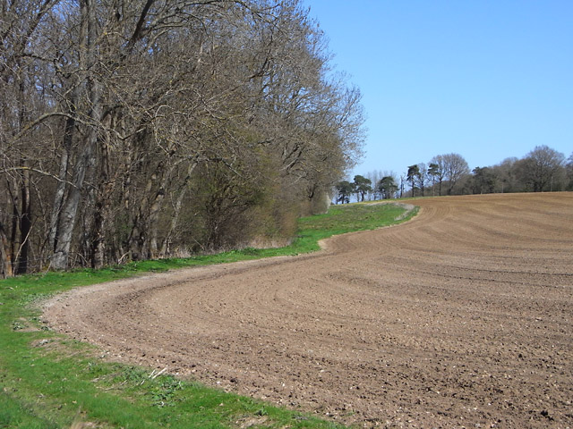
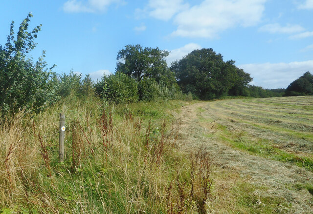
Well Close Copse is a charming woodland area located in Hampshire, England. Spanning over a vast area, this copse is a natural haven for wildlife and offers visitors a serene and peaceful retreat from the hustle and bustle of city life.
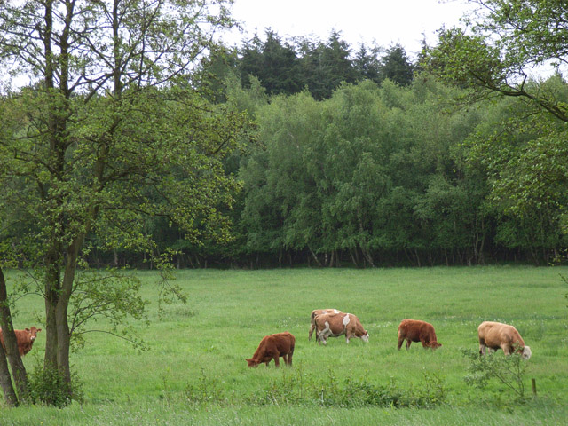
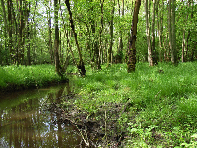
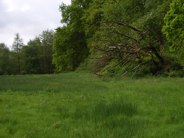
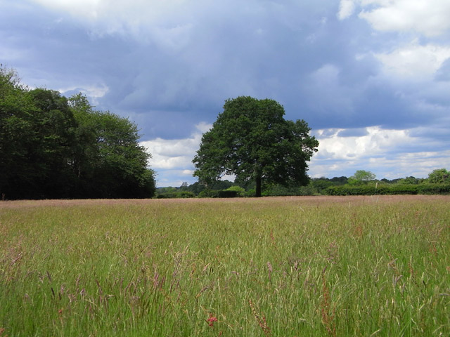
The copse is characterized by its dense growth of native trees, including oak, beech, and birch. The rich variety of tree species creates a diverse and vibrant ecosystem, providing a habitat for numerous birds, insects, and small mammals. Nature enthusiasts can spot various species of songbirds, woodpeckers, and owls, among others, as they explore the copse.
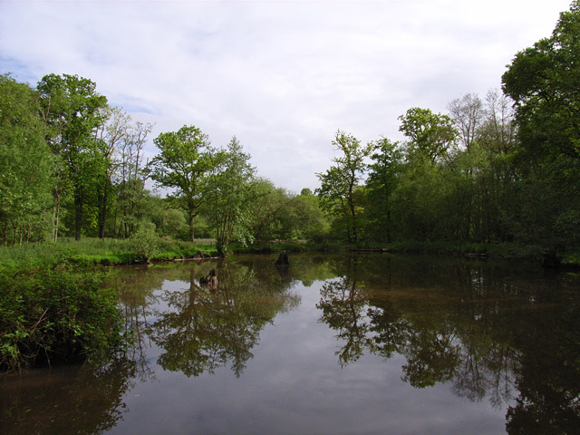
The woodland floor is blanketed with a lush carpet of wildflowers and ferns, adding to the copse's natural beauty. In spring, the copse comes alive with the vibrant colors of bluebells, primroses, and wood anemones, creating a breathtaking sight.
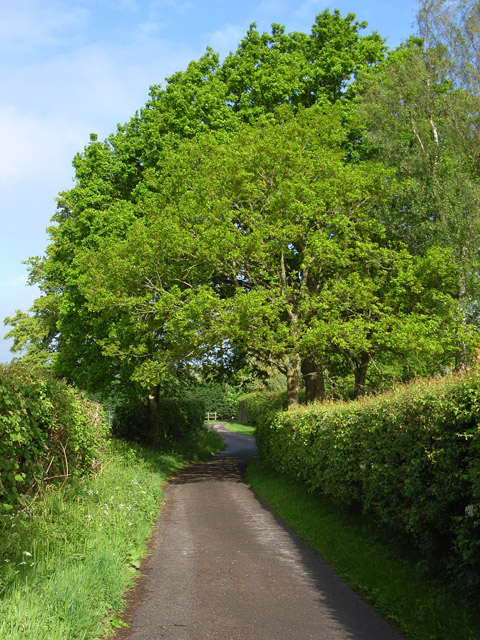
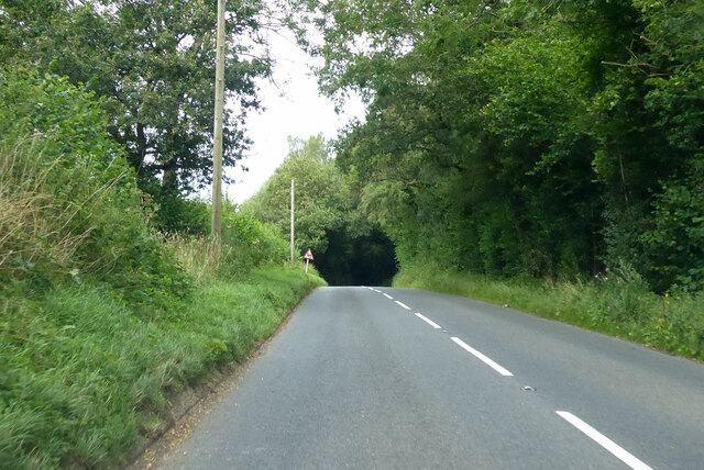
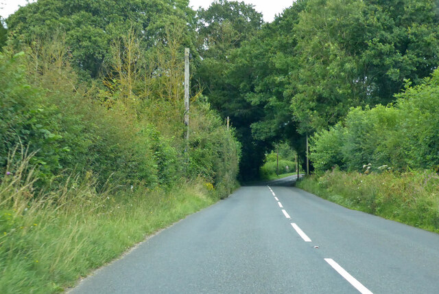
Well Close Copse offers a network of well-maintained footpaths and trails, allowing visitors to explore the copse at their own pace. The paths wind through the trees, leading to secluded clearings and hidden glades, perfect for picnics or simply soaking in the tranquil ambiance.
Due to its natural significance and beauty, Well Close Copse is a designated nature reserve, ensuring its protection and preservation for future generations. The copse is actively managed by local conservation organizations, who work to maintain its biodiversity and protect its delicate ecosystem.
Overall, Well Close Copse is a delightful woodland retreat, offering visitors the opportunity to connect with nature and experience the beauty of Hampshire's natural landscape. Whether it's a leisurely stroll, birdwatching, or simply enjoying the peaceful atmosphere, this copse is a must-visit destination for nature lovers and outdoor enthusiasts alike.
If you have any feedback on the listing, please let us know in the comments section below.
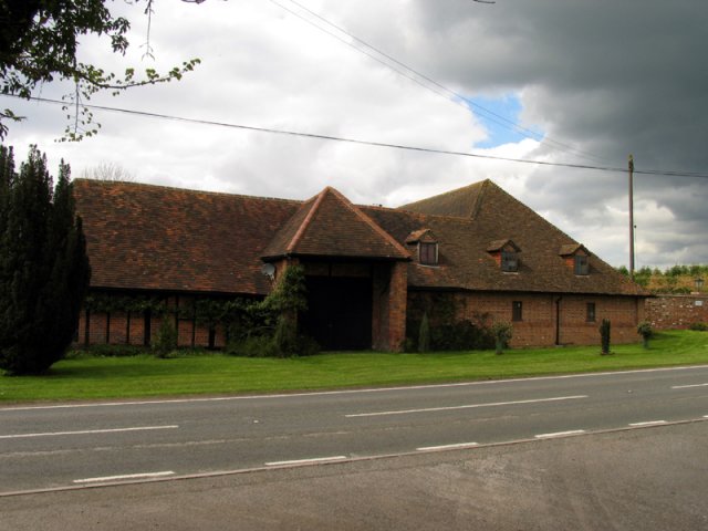
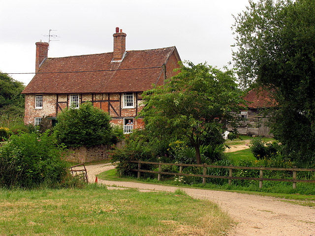
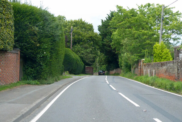
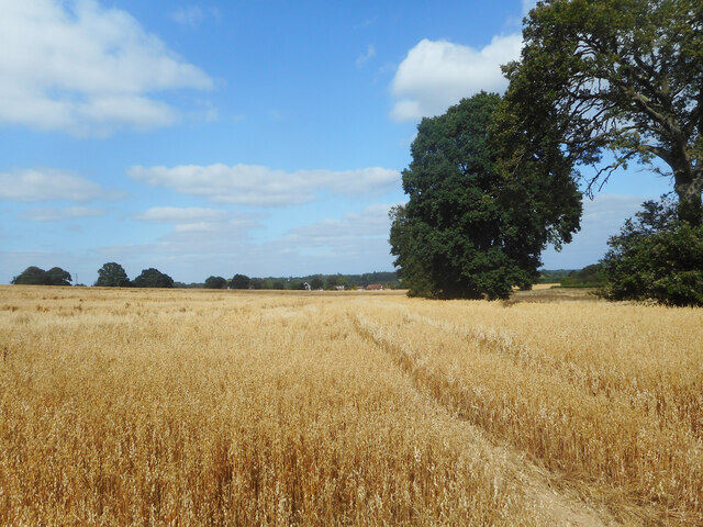
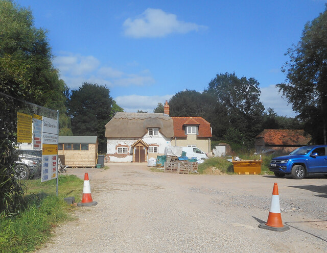
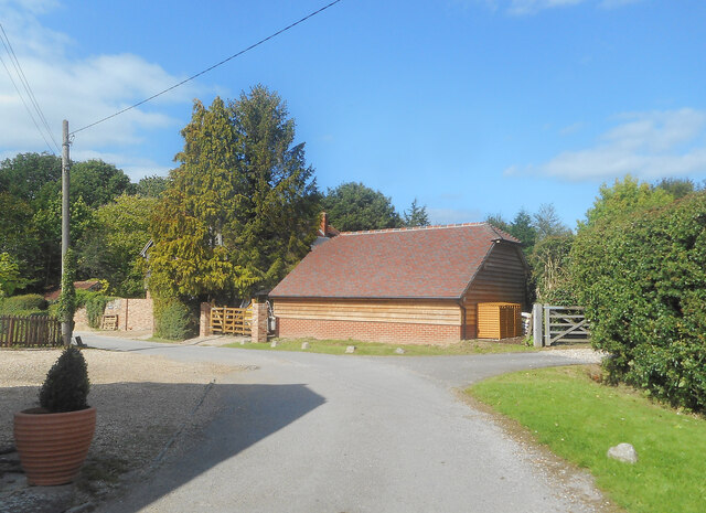
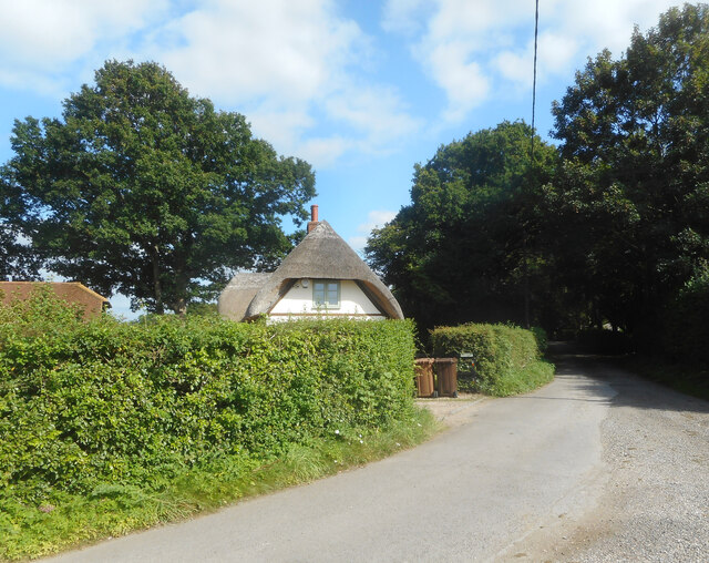
Well Close Copse Images
Images are sourced within 2km of 51.343118/-1.2210109 or Grid Reference SU5460. Thanks to Geograph Open Source API. All images are credited.
Well Close Copse is located at Grid Ref: SU5460 (Lat: 51.343118, Lng: -1.2210109)
Administrative County: Hampshire
District: Basingstoke and Deane
Police Authority: Hampshire
What 3 Words
///afraid.text.congas. Near Kingsclere, Hampshire
Related Wikis

Plastow Green
Plastow Green is a hamlet in north Hampshire, England. == Governance == The hamlet is part of the civil parish of Ashford Hill with Headley, and is part...

Ashford Hill with Headley
Ashford Hill with Headley is a civil parish in the Basingstoke and Deane district of Hampshire, England. The parish includes Ashford Hill, Plastow Green...
Ashford Hill
Ashford Hill is a village in Basingstoke and Deane, Hampshire, England. == Governance == The village of Ashford Hill is part of the civil parish of Ashford...

Ashford Hill Woods and Meadows
Ashford Hill Woods and Meadows is a 141.5-hectare (350-acre) biological Site of Special Scientific Interest near Ashford Hill in Hampshire. An area of...

Axmansford
Axmansford is a village in Hampshire, England. It is in the civil parish of Baughurst. == External links == Media related to Axmansford at Wikimedia Commons
Ashford Hill NNR
Ashford Hill is a British national nature reserve next to the village of Ashford Hill in Hampshire. Part of the reserve is a designated a Site of Special...
Wolverton, Hampshire
Wolverton is a village in north Hampshire, England. It is within the civil parish of Baughurst, and located approximately 7 miles (11 km) from both Newbury...

Kingsclere
Kingsclere is a large village and civil parish in Hampshire, England. == Geography == Kingsclere is approximately equidistant 13 kilometres (8.1 mi) from...
Nearby Amenities
Located within 500m of 51.343118,-1.2210109Have you been to Well Close Copse?
Leave your review of Well Close Copse below (or comments, questions and feedback).