Skittle Hill Copse

Wood, Forest in Hampshire Basingstoke and Deane

England

Skittle Hill Copse

Knowl Hill Farm Buildings This picture was taken from the private road that intersects with the road running diagonally from north to south across the grid square, looking north.
Knowl Hill Farm Buildings Credit: Pam Brophy

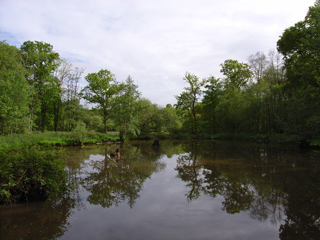
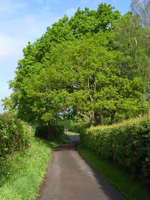
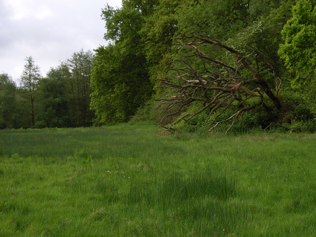
Skittle Hill Copse is a captivating woodland area located in Hampshire, England. Nestled amidst the picturesque countryside, this enchanting forest covers an approximate area of 10 acres, providing a serene and tranquil escape for nature enthusiasts.

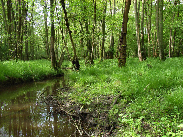
The copse is predominantly composed of broadleaf trees, creating a rich and diverse ecosystem. Majestic oak, beech, and ash trees dominate the landscape, their towering canopies forming a protective cover over the forest floor. The woodland is also home to an array of smaller tree species, including birch, hawthorn, and hazel, adding to the overall biodiversity of the area.

As visitors explore Skittle Hill Copse, they are greeted by a vibrant tapestry of native flora. Bluebells carpet the forest floor during the spring months, creating a breathtaking sight, while primroses and wood anemones emerge in the early months of the year. Ferns and mosses thrive in the damp and shaded areas, adding a touch of lushness to the surroundings.

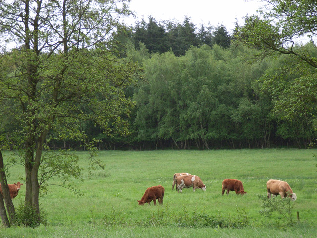
The copse is a haven for wildlife, providing a safe haven for a variety of species. Birds such as woodpeckers, tawny owls, and great tits can be spotted flitting among the trees, their melodies filling the air. Small mammals like foxes, rabbits, and squirrels call this woodland home, while deer occasionally graze in the outskirts of the copse.

Skittle Hill Copse offers a sense of tranquility and natural beauty, making it an ideal destination for leisurely walks, birdwatching, and exploring the wonders of Hampshire's countryside.

If you have any feedback on the listing, please let us know in the comments section below.

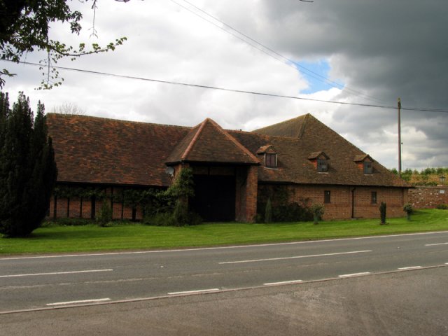
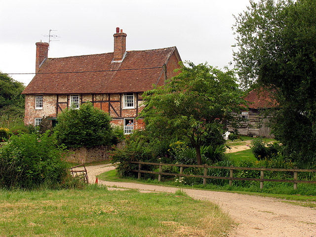
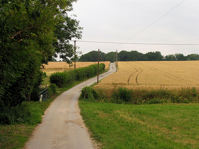
Skittle Hill Copse Images

Images are sourced within 2km of 51.33799/-1.2232942 or Grid Reference SU5460. Thanks to Geograph Open Source API. All images are credited.

Knowl Hill Farm Buildings This picture was taken from the private road that intersects with the road running diagonally from north to south across the grid square, looking north.
Knowl Hill Farm Buildings
This picture was taken from the private road that intersects with the road running diagonally from north to south across the grid square, looking north.
Coldridges Farm Situated in the western section near the edge of the grid square, this picture was taken from the A339 to Newbury, looking north east.
Coldridges Farm
Situated in the western section near the edge of the grid square, this picture was taken from the A339 to Newbury, looking north east.
Farm near Ashford Hill At this point, the footpath splits and goes of at right angles to each other. This is the view at the split (Harriden's Farm).
Farm near Ashford Hill
At this point, the footpath splits and goes of at right angles to each other. This is the view at the split (Harriden's Farm).
Farmland near Ashford Hill This section of farmland is south west of Harridens Great Copse in 5360, and the view is in the north east corner of the square between Harridens farm and Halls Farm.
Farmland near Ashford Hill
This section of farmland is south west of Harridens Great Copse in 5360, and the view is in the north east corner of the square between Harridens farm and Halls Farm.
Sandford Springs Golf Club This picture of Sanford Springs golf course was taken from the club entrance, just off the A339, looking over the greens in a north westerly direction
Sandford Springs Golf Club
This picture of Sanford Springs golf course was taken from the club entrance, just off the A339, looking over the greens in a north westerly direction
Country house This picture was taken from approx 545582 and looks due north to a house just across the main A339
Country house
This picture was taken from approx 545582 and looks due north to a house just across the main A339
The Wolverton Road The section of the road opposite Wolverton Wood in the south eastern section of the grid square. It runs diagonally across this section of the square and the field on the western side of the road is just visible. The picture was taken looking north east along the road.
The Wolverton Road
The section of the road opposite Wolverton Wood in the south eastern section of the grid square. It runs diagonally across this section of the square and the field on the western side of the road is just visible. The picture was taken looking north east along the road.
St. Catherine's Church, Crabbs Hill, Wolverton
Wolverton Common
Wolverton Common
Frith Common Looking across to Sandford Wood.
Frith Common
Looking across to Sandford Wood.
Pond near Frith Common One of two ponds in the vicinity that are not shown by the Ordnance Survey.
Pond near Frith Common
One of two ponds in the vicinity that are not shown by the Ordnance Survey.
Woodland stream, Frith Common The stream emanates from Sandford Springs, which give their name to the nearby golf club.
Woodland stream, Frith Common
The stream emanates from Sandford Springs, which give their name to the nearby golf club.
Lane at Frith Common Farm A public footpath on a private road.
Lane at Frith Common Farm
A public footpath on a private road.
Clinker's Copse The fringe of the wood where it meets a rather boggy meadow.
Clinker's Copse
The fringe of the wood where it meets a rather boggy meadow.
St Catherine's Church, Wolverton An early Georgian Church (1717) in a lovely rural setting. Locked unfortunately but the brick exterior provides a casing for the original medieval interior.
St Catherine's Church, Wolverton
An early Georgian Church (1717) in a lovely rural setting. Locked unfortunately but the brick exterior provides a casing for the original medieval interior.
St Catherine's Church The unusual east end of the church.
St Catherine's Church
The unusual east end of the church.
St Catherine's Churchyard, Wolverton A well kept churchyard with levelled graves and a lovely view.
St Catherine's Churchyard, Wolverton
A well kept churchyard with levelled graves and a lovely view.
The tower, St Catherine's Church, Wolverton Looking almost straight up at the tower at the early Georgian St Catherine's Church, Wolverton.
The tower, St Catherine's Church, Wolverton
Looking almost straight up at the tower at the early Georgian St Catherine's Church, Wolverton.
Show me another place!

Skittle Hill Copse is located at Grid Ref: SU5460 (Lat: 51.33799, Lng: -1.2232942)

Administrative County: Hampshire

District: Basingstoke and Deane

Police Authority: Hampshire

What 3 Words

///headliner.nest.them. Near Kingsclere, Hampshire

Related Wikis

Wolverton, Hampshire

Wolverton is a village in north Hampshire, England. It is within the civil parish of Baughurst, and located approximately 7 miles (11 km) from both Newbury...

Plastow Green

Plastow Green is a hamlet in north Hampshire, England. == Governance == The hamlet is part of the civil parish of Ashford Hill with Headley, and is part...

Kingsclere

Kingsclere is a large village and civil parish in Hampshire, England. == Geography == Kingsclere is approximately equidistant 13 kilometres (8.1 mi) from...

Ashford Hill with Headley

Ashford Hill with Headley is a civil parish in the Basingstoke and Deane district of Hampshire, England. The parish includes Ashford Hill, Plastow Green...

Ashford Hill

Ashford Hill is a village in Basingstoke and Deane, Hampshire, England. == Governance == The village of Ashford Hill is part of the civil parish of Ashford...

Wolverton Common

Wolverton Common is a hamlet in north Hampshire, England. Its nearest town is Tadley, which lies approximately 2.5 miles (4 km) east from the hamlet....

Axmansford

Axmansford is a village in Hampshire, England. It is in the civil parish of Baughurst. == External links == Media related to Axmansford at Wikimedia Commons

Kingsclere and Whitchurch Rural District

Kingsclere and Whitchurch Rural District was a rural district between 1932 and 1974 in Hampshire, England. The district was formed as a merger of the abolished...

Nearby Amenities

Located within 500m of 51.33799,-1.2232942
The data included in this document is from www.openstreetmap.org. The data is made available under ODbL.

Have you been to Skittle Hill Copse?

Leave your review of Skittle Hill Copse below (or comments, questions and feedback).