Long Copse

Wood, Forest in Hampshire Basingstoke and Deane

England

Long Copse

Knowl Hill Farm Buildings This picture was taken from the private road that intersects with the road running diagonally from north to south across the grid square, looking north.
Knowl Hill Farm Buildings Credit: Pam Brophy

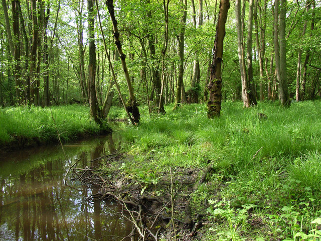
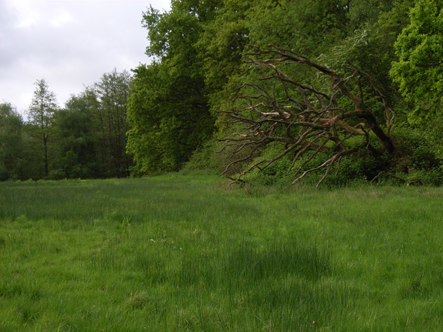
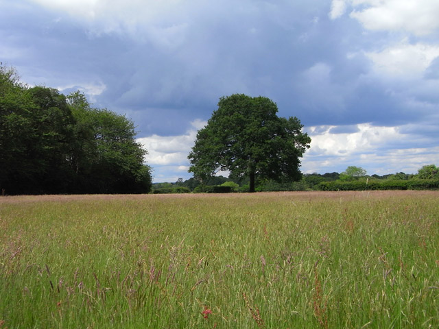
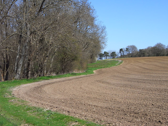
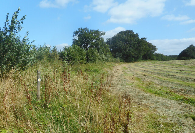
Long Copse is a picturesque woodland located in Hampshire, England. Spanning approximately 100 acres, it is nestled in the heart of the South Downs National Park, making it a popular destination for nature enthusiasts and outdoor adventurers alike. The woodland is characterized by its dense and varied collection of trees, which include oak, beech, ash, and birch.

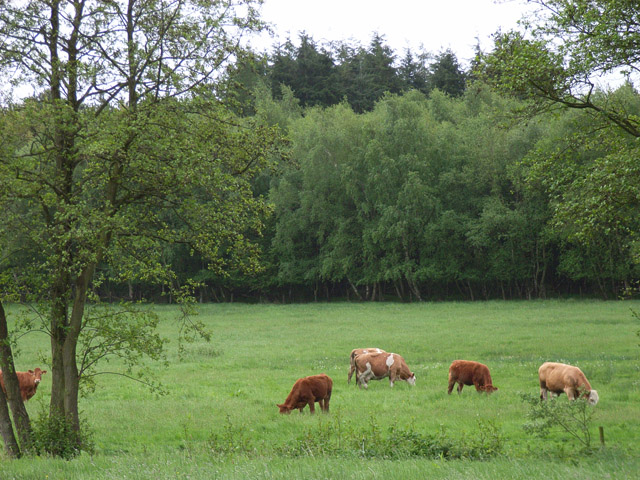
Long Copse offers a haven for wildlife, with a diverse range of species calling it home. Visitors can often spot deer, foxes, badgers, and a multitude of bird species, including woodpeckers and owls. The forest floor is adorned with a rich carpet of wildflowers during the spring and summer months, adding to the beauty and tranquility of the area.

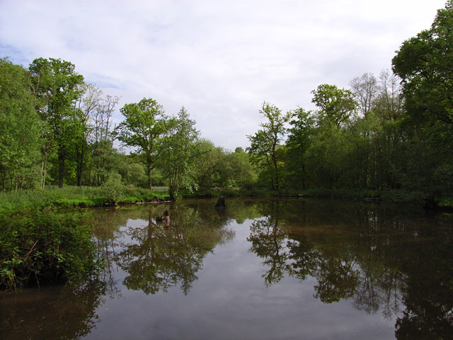
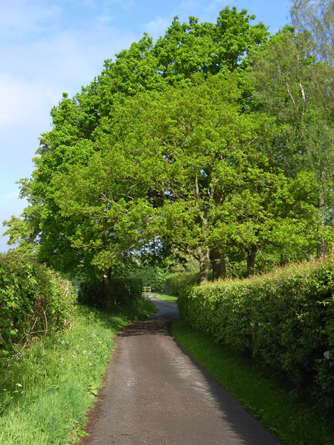
The woodland is crisscrossed by a network of well-maintained footpaths, allowing visitors to explore the area at their leisure. These paths lead to hidden clearings, tranquil ponds, and breathtaking viewpoints that provide panoramic vistas of the surrounding countryside. The peaceful atmosphere makes it an ideal location for walking, jogging, or simply immersing oneself in the natural surroundings.

Long Copse also offers educational opportunities, with organized guided tours and workshops available to learn about the local flora and fauna. The woodland is managed sustainably, ensuring the preservation of its natural beauty and biodiversity for future generations to enjoy.

Overall, Long Copse in Hampshire is a true gem for nature lovers, offering a serene escape from the hustle and bustle of everyday life. Its diverse array of wildlife, stunning views, and well-maintained trails make it a must-visit destination for anyone seeking to reconnect with nature.

If you have any feedback on the listing, please let us know in the comments section below.
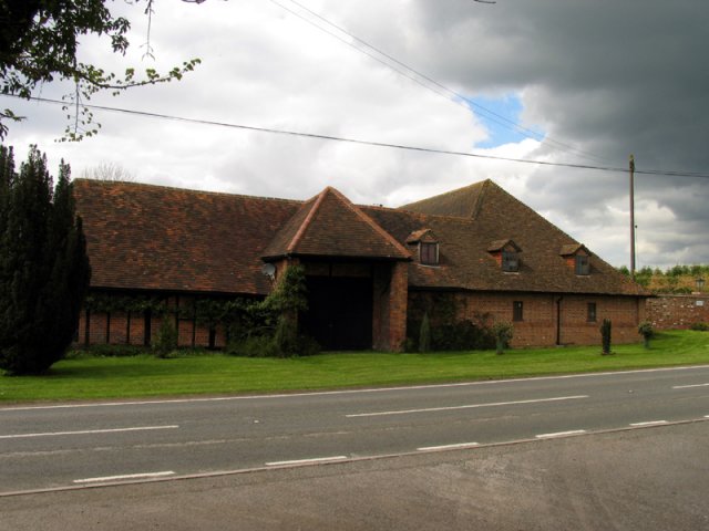
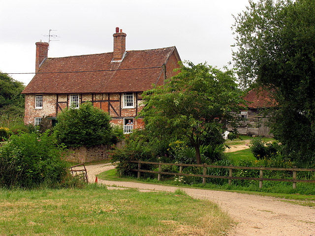
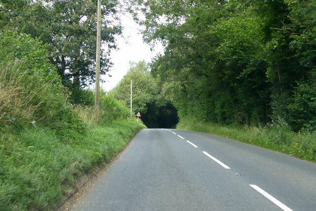
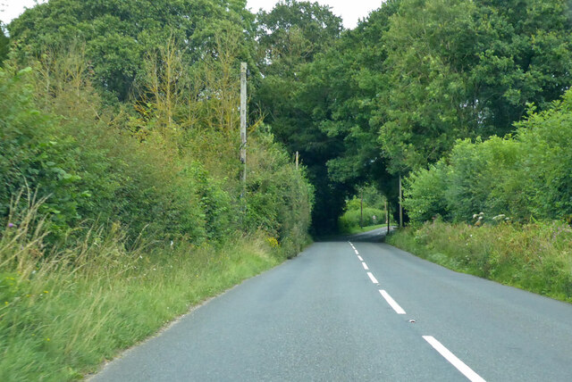
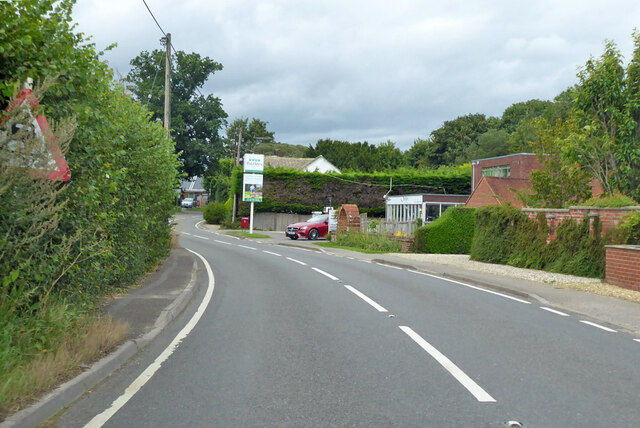
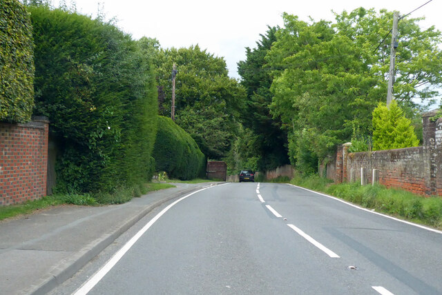
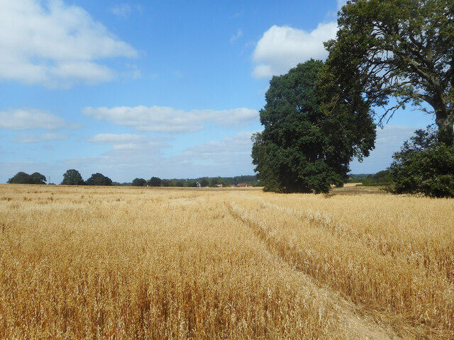
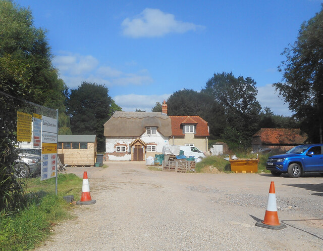
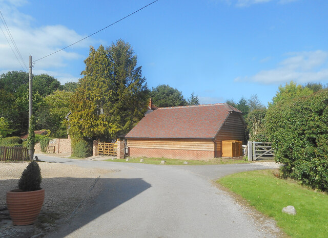
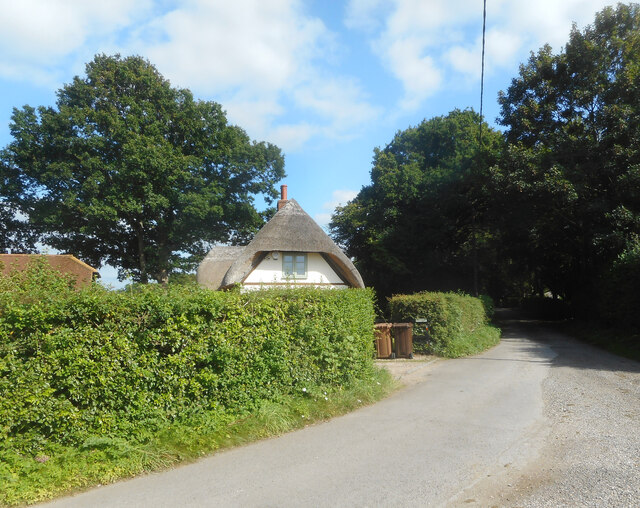
Long Copse Images

Images are sourced within 2km of 51.344743/-1.2233093 or Grid Reference SU5460. Thanks to Geograph Open Source API. All images are credited.

Knowl Hill Farm Buildings This picture was taken from the private road that intersects with the road running diagonally from north to south across the grid square, looking north.
Knowl Hill Farm Buildings
This picture was taken from the private road that intersects with the road running diagonally from north to south across the grid square, looking north.
Farm near Ashford Hill At this point, the footpath splits and goes of at right angles to each other. This is the view at the split (Harriden's Farm).
Farm near Ashford Hill
At this point, the footpath splits and goes of at right angles to each other. This is the view at the split (Harriden's Farm).
Frith Common Looking across to Sandford Wood.
Frith Common
Looking across to Sandford Wood.
Pond near Frith Common One of two ponds in the vicinity that are not shown by the Ordnance Survey.
Pond near Frith Common
One of two ponds in the vicinity that are not shown by the Ordnance Survey.
Woodland stream, Frith Common The stream emanates from Sandford Springs, which give their name to the nearby golf club.
Woodland stream, Frith Common
The stream emanates from Sandford Springs, which give their name to the nearby golf club.
Lane at Frith Common Farm A public footpath on a private road.
Lane at Frith Common Farm
A public footpath on a private road.
Clinker's Copse The fringe of the wood where it meets a rather boggy meadow.
Clinker's Copse
The fringe of the wood where it meets a rather boggy meadow.
Pasture, Wolverton A field of long grass with a northeastern corner of Sandford Woods to the left.
Pasture, Wolverton
A field of long grass with a northeastern corner of Sandford Woods to the left.
Farmland, Kingsclere The edge of an arable field seen from the footpath between Knowl Hill and Harridens Farms.
Farmland, Kingsclere
The edge of an arable field seen from the footpath between Knowl Hill and Harridens Farms.
B3051 Little Knowl Hill From Kingsclere towards Aldermaston.
B3051 Little Knowl Hill
From Kingsclere towards Aldermaston.
B3051 Little Knowl Hill From Kingsclere towards Aldermaston.
B3051 Little Knowl Hill
From Kingsclere towards Aldermaston.
B3051, Ashford Hill From Kingsclere towards Aldermaston. The sign on the left is intended to warn of a skid hazard, but not doing a very good job of it.
B3051, Ashford Hill
From Kingsclere towards Aldermaston. The sign on the left is intended to warn of a skid hazard, but not doing a very good job of it.
B3051, Ashford Hill From Kingsclere towards Aldermaston.
B3051, Ashford Hill
From Kingsclere towards Aldermaston.
A Field of Oats, Kingsclere Woodlands
Renovations at Plastow Green One of the old houses is being done up.
Renovations at Plastow Green
One of the old houses is being done up.
Barn on the Corner One of the handful of places in the hamlet of Plastow Green
Barn on the Corner
One of the handful of places in the hamlet of Plastow Green
Thatch behind the Hedge An old house at the end of the road at Plastow Green.
Thatch behind the Hedge
An old house at the end of the road at Plastow Green.
Footpath through a hay field One of half a dozen footpaths which converge at a small wood called Watchbury Copse a short way along from here.
Footpath through a hay field
One of half a dozen footpaths which converge at a small wood called Watchbury Copse a short way along from here.
Show me another place!

Long Copse is located at Grid Ref: SU5460 (Lat: 51.344743, Lng: -1.2233093)

Administrative County: Hampshire

District: Basingstoke and Deane

Police Authority: Hampshire

What 3 Words

///bells.swipes.disco. Near Kingsclere, Hampshire

Related Wikis

Plastow Green

Plastow Green is a hamlet in north Hampshire, England. == Governance == The hamlet is part of the civil parish of Ashford Hill with Headley, and is part...

Ashford Hill with Headley

Ashford Hill with Headley is a civil parish in the Basingstoke and Deane district of Hampshire, England. The parish includes Ashford Hill, Plastow Green...

Ashford Hill

Ashford Hill is a village in Basingstoke and Deane, Hampshire, England. == Governance == The village of Ashford Hill is part of the civil parish of Ashford...

Ashford Hill Woods and Meadows

Ashford Hill Woods and Meadows is a 141.5-hectare (350-acre) biological Site of Special Scientific Interest near Ashford Hill in Hampshire. An area of...

Ashford Hill NNR

Ashford Hill is a British national nature reserve next to the village of Ashford Hill in Hampshire. Part of the reserve is a designated a Site of Special...

Axmansford

Axmansford is a village in Hampshire, England. It is in the civil parish of Baughurst. == External links == Media related to Axmansford at Wikimedia Commons

Wolverton, Hampshire

Wolverton is a village in north Hampshire, England. It is within the civil parish of Baughurst, and located approximately 7 miles (11 km) from both Newbury...

Kingsclere

Kingsclere is a large village and civil parish in Hampshire, England. == Geography == Kingsclere is approximately equidistant 13 kilometres (8.1 mi) from...

Nearby Amenities

Located within 500m of 51.344743,-1.2233093
Barrier: kissing_gate
Lat/Long: 51.3475563/-1.226851
Barrier: stile
Lat/Long: 51.3462643/-1.2290826
Power: tower
Lat/Long: 51.3477482/-1.2280035
Dairy House Farm
Landuse: farm
Note Retag: CS #48756035
Source: OS_OpenData_StreetView
Lat/Long: 51.3428505/-1.2174221
The data included in this document is from www.openstreetmap.org. The data is made available under ODbL.

Have you been to Long Copse?

Leave your review of Long Copse below (or comments, questions and feedback).