Paradise Wood
Wood, Forest in Yorkshire Selby
England
Paradise Wood
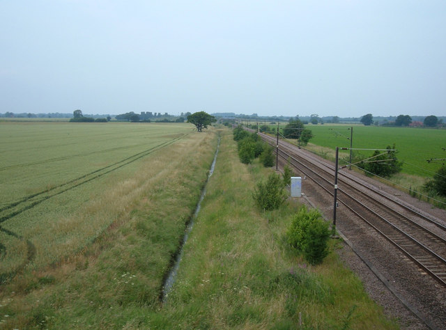
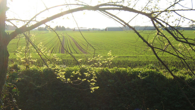
Paradise Wood, located in Yorkshire, England, is a mesmerizing woodland area that showcases the true beauty of nature. This enchanting forest spans across an area of approximately 100 acres, making it a haven for nature enthusiasts and those seeking solace amidst serene surroundings.
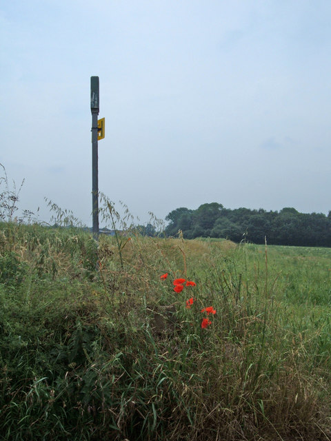
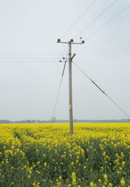
The wood is predominantly composed of a variety of indigenous tree species, including oak, beech, and birch, which form a dense and lush canopy. The tall and majestic trees create a shaded and cool atmosphere, offering a refuge from the scorching summer heat. As the seasons change, Paradise Wood transforms into a kaleidoscope of colors, with vibrant autumn foliage and delicate spring blossoms.
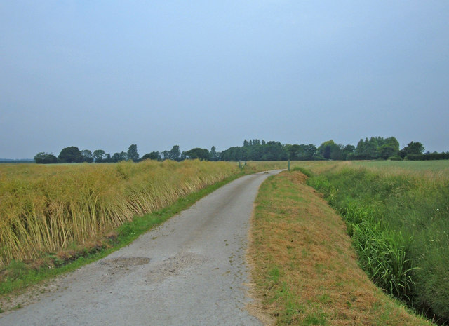
Traversing through Paradise Wood, visitors will discover a network of well-maintained trails that wind their way through the woodland. These pathways allow for leisurely strolls, jogging, or even cycling, ensuring that visitors can fully immerse themselves in the natural splendor while engaging in their preferred activities.
The wood is also home to a diverse range of wildlife, with an abundance of bird species, small mammals, and even occasional sightings of deer. This makes Paradise Wood a paradise for birdwatchers and wildlife enthusiasts, who can admire and capture glimpses of these creatures in their natural habitat.
For those seeking tranquility and a break from the hustle and bustle of everyday life, Paradise Wood offers a peaceful and serene retreat. Its natural beauty, combined with the soothing sounds of rustling leaves and birdsong, creates an idyllic atmosphere that is perfect for relaxation and rejuvenation.
If you have any feedback on the listing, please let us know in the comments section below.
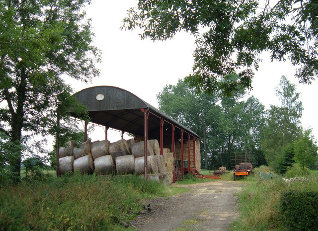
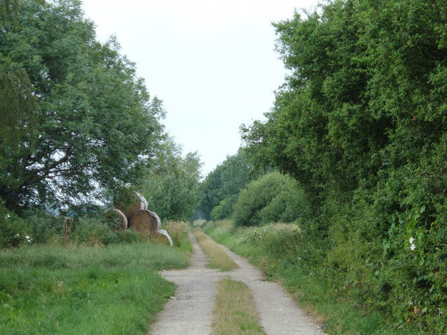
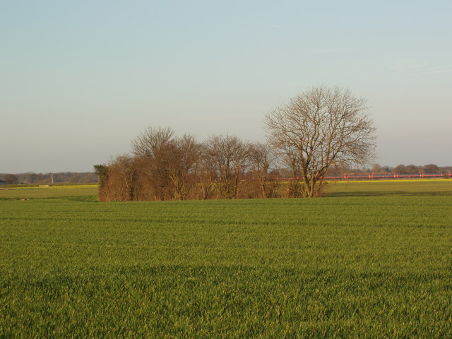
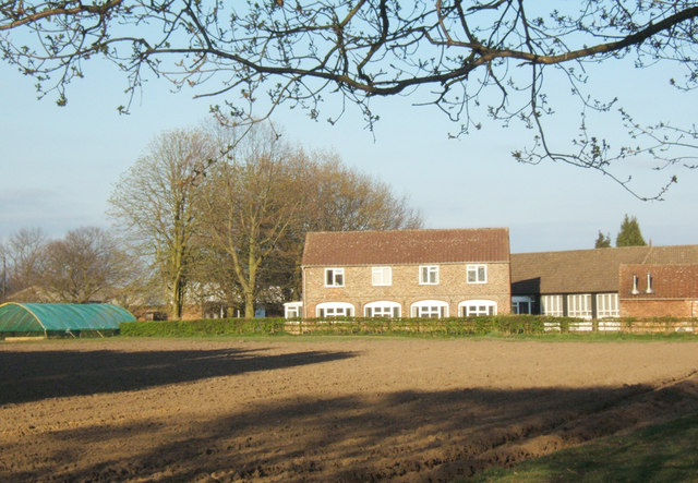
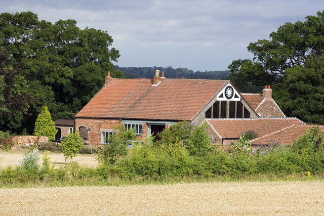
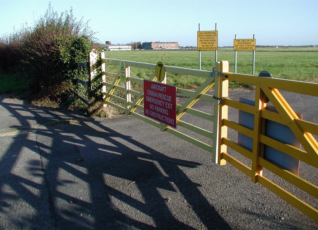
Paradise Wood Images
Images are sourced within 2km of 53.82947/-1.1806941 or Grid Reference SE5437. Thanks to Geograph Open Source API. All images are credited.
Paradise Wood is located at Grid Ref: SE5437 (Lat: 53.82947, Lng: -1.1806941)
Division: West Riding
Administrative County: North Yorkshire
District: Selby
Police Authority: North Yorkshire
What 3 Words
///neatly.sake.sports. Near Church Fenton, North Yorkshire
Nearby Locations
Related Wikis

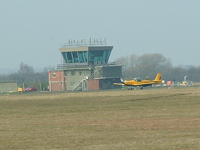
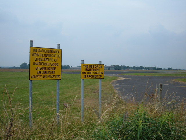
RAF Church Fenton
Royal Air Force Church Fenton or RAF Church Fenton (ICAO: EGCM) is a former Royal Air Force (RAF) station located 4.3 miles (6.9 km) south-east of Tadcaster...
Leeds East Airport
Leeds East Airport Church Fenton (ICAO: EGCM), formerly RAF Church Fenton, is an airport and former Royal Air Force station located 4.3 miles (6.9 km)...

Biggin, North Yorkshire
Biggin is a village and civil parish in the Selby District of North Yorkshire, England, north-west of Selby. The village was historically part of the West...

All Saints' Church, Ryther
All Saints' Church is the parish church of Ryther cum Ossendyke, a village north-west of Selby in Yorkshire, in England. The church was originally built...
Have you been to Paradise Wood?
Leave your review of Paradise Wood below (or comments, questions and feedback).