Round Clump
Wood, Forest in Yorkshire Hambleton
England
Round Clump
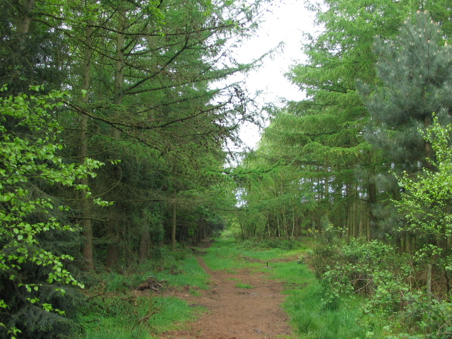
Round Clump is a picturesque woodland area located in Yorkshire, England. Situated on the outskirts of a small village, this serene forest is a popular destination for nature enthusiasts and hikers alike. Covering an area of approximately 50 acres, Round Clump boasts a diverse range of trees, including oak, beech, and birch, creating a lush and vibrant landscape.
The forest is characterized by its circular shape, hence the name "Round Clump." This unique feature gives the woodland a distinct charm, providing visitors with a sense of tranquility and seclusion. The dense canopy overhead creates a cool and shaded environment, perfect for escaping the summer heat or taking shelter from the occasional rain showers.
Walking through Round Clump, visitors will discover a network of well-maintained trails and footpaths, allowing them to explore the forest at their own pace. Along the way, they may encounter various wildlife species, such as squirrels, rabbits, and a variety of bird species, adding to the enchanting atmosphere.
Round Clump also offers several picnic spots and benches, providing visitors with the opportunity to relax and enjoy the natural surroundings. Additionally, there is a small pond where visitors can observe aquatic life or simply rest and take in the peaceful atmosphere.
Whether you are seeking a peaceful stroll amidst nature, a family picnic, or a chance to observe wildlife, Round Clump in Yorkshire provides a scenic and serene retreat for all to enjoy.
If you have any feedback on the listing, please let us know in the comments section below.
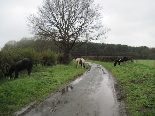
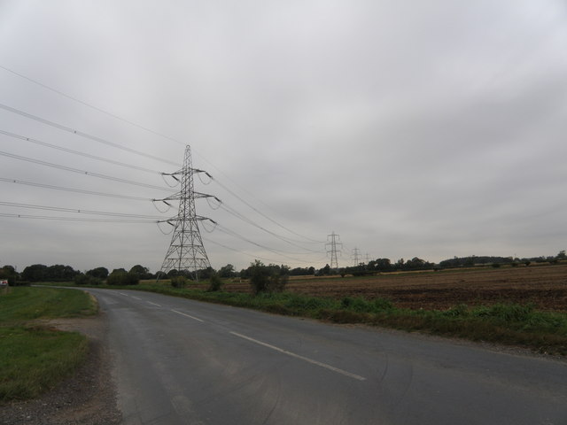
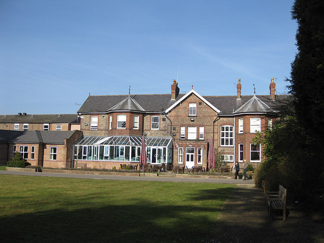
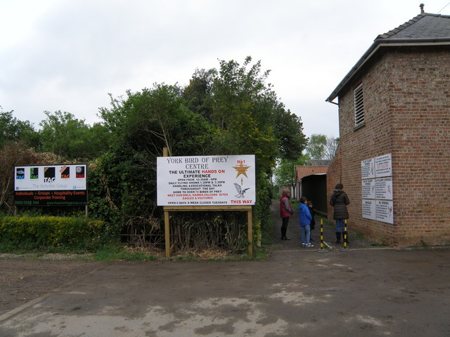
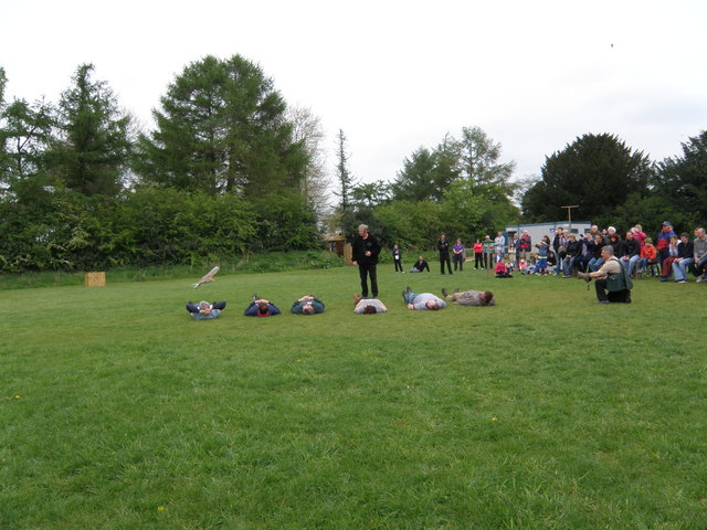
Round Clump Images
Images are sourced within 2km of 54.098893/-1.1753797 or Grid Reference SE5467. Thanks to Geograph Open Source API. All images are credited.


Round Clump is located at Grid Ref: SE5467 (Lat: 54.098893, Lng: -1.1753797)
Division: North Riding
Administrative County: North Yorkshire
District: Hambleton
Police Authority: North Yorkshire
What 3 Words
///interests.estate.glares. Near Easingwold, North Yorkshire
Nearby Locations
Related Wikis

Emergency Planning College
The Emergency Planning College also known as "the Hawkhills" foremost a college, based in the United Kingdom which is involved in activities to promote...

Vale of York (UK Parliament constituency)
Vale of York was a county constituency represented in the House of Commons of the Parliament of the United Kingdom. It elected one Member of Parliament...
Outwood Academy Easingwold
Outwood Academy Easingwold is a mixed 11–18 secondary school with academy status in Easingwold, North Yorkshire, England. It had 663 pupils in 2023, including...
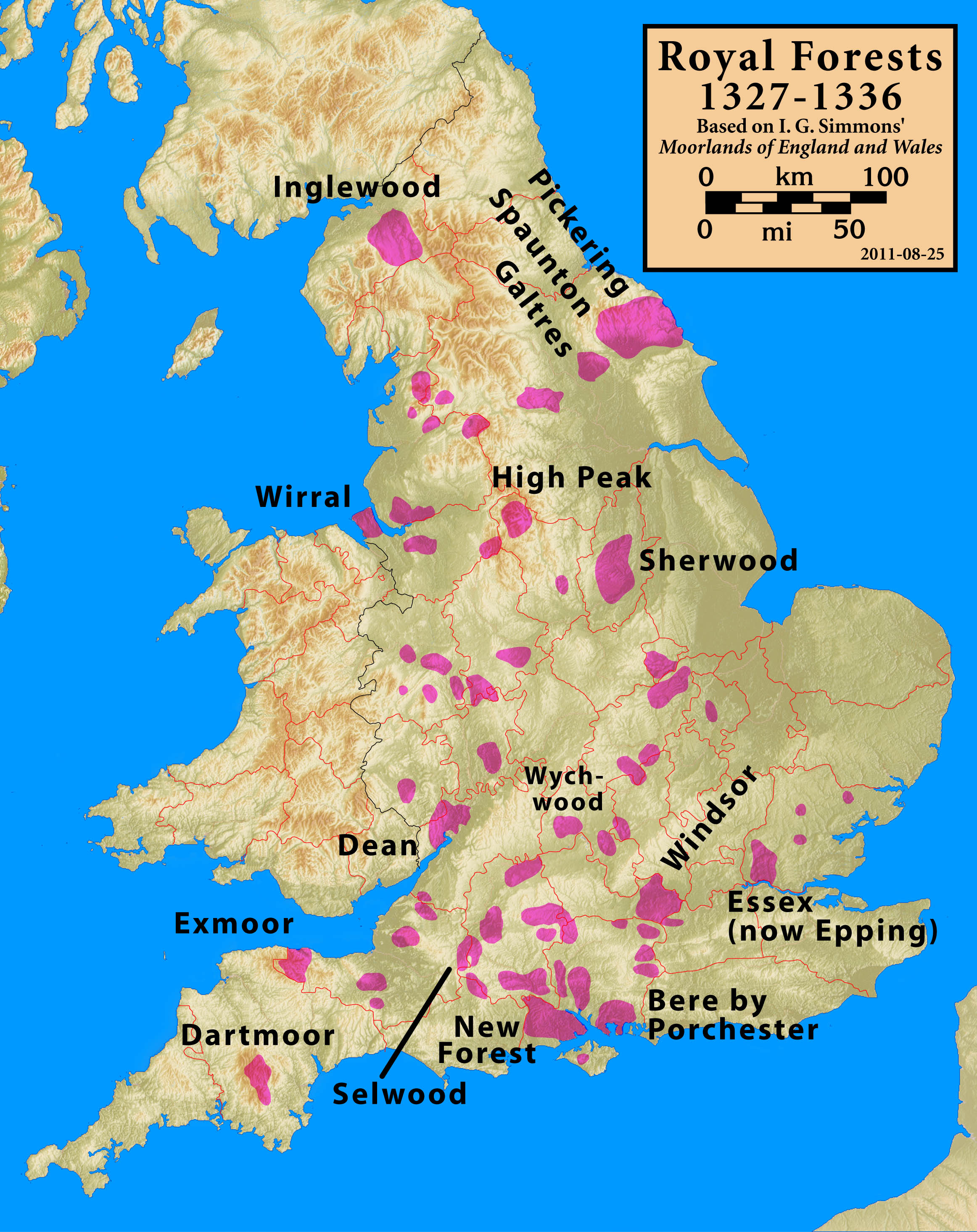
Forest of Galtres
The royal Forest of Galtres was established by the Norman kings of England in North Yorkshire, to the north of the Ancient City of York, extending right...
Easingwold
Easingwold is a market town and civil parish in North Yorkshire, England. Historically, part of the North Riding of Yorkshire, it had a population of 4...

Raskelf
Raskelf is a village and civil parish in North Yorkshire, England. The electoral roll has a population of around 400 measured at 519 in the 2011 census...

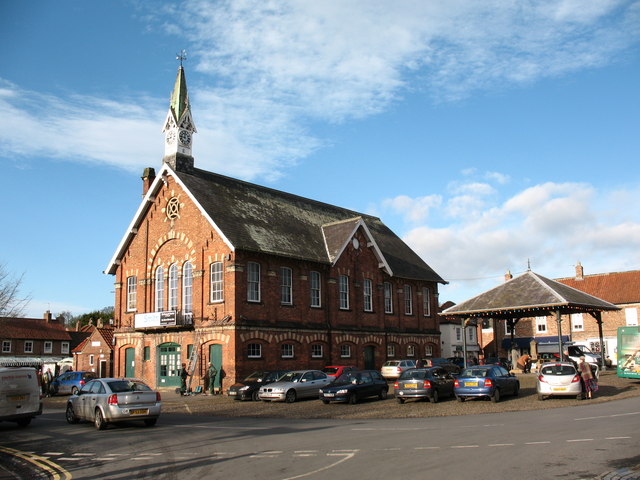
Easingwold Town Hall
Easingwold Town Hall is a municipal building in the Market Place in Easingwold, North Yorkshire, England. The structure was used as an events venue and...
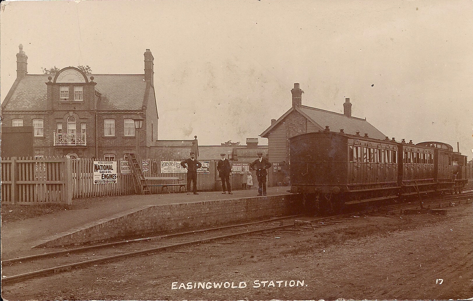
Easingwold railway station
Easingwold railway station is a closed timber built railway station that served the market town of Easingwold, in North Yorkshire, England and was on the...
Nearby Amenities
Located within 500m of 54.098893,-1.1753797Have you been to Round Clump?
Leave your review of Round Clump below (or comments, questions and feedback).