West Clump

Wood, Forest in Yorkshire

England

West Clump

Tunstall Farm, Little Ayton
Tunstall Farm, Little Ayton Credit: Humphrey Bolton

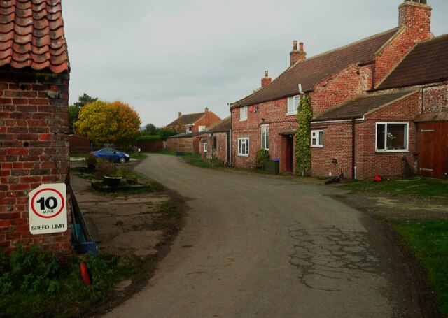
West Clump is a picturesque village located in the heart of Yorkshire, England. Nestled within a dense woodland, it is often referred to as West Clump, Yorkshire Wood, or West Clump Forest. The village is renowned for its natural beauty, boasting lush greenery, towering trees, and a tranquil atmosphere.

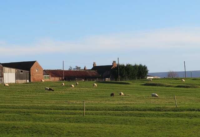
The village is home to a small but close-knit community, with a population of approximately 500 residents. Despite its remote location, West Clump offers a range of amenities, including a village hall, a local pub, and a small convenience store. The village also has a primary school, ensuring that families have access to education close to home.

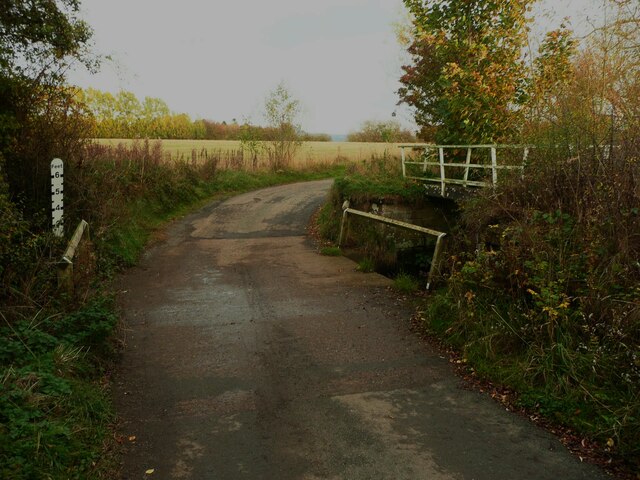
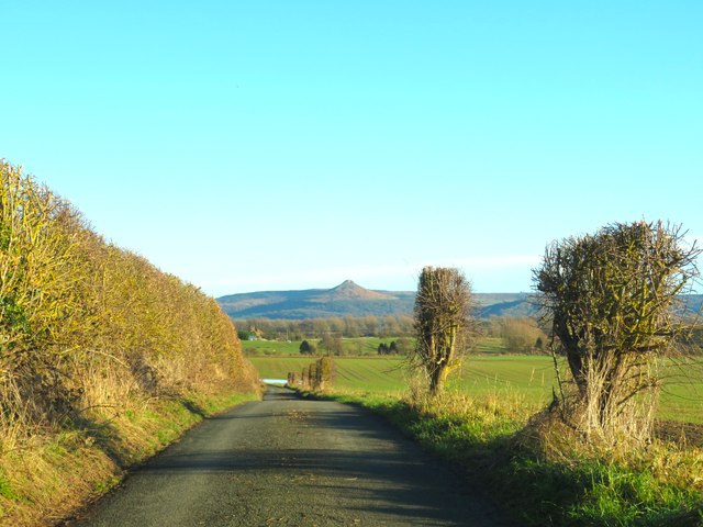
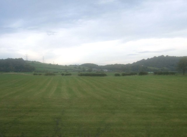
West Clump is surrounded by an abundance of natural wonders, making it a haven for outdoor enthusiasts. The nearby forest offers a myriad of walking trails, allowing visitors to explore the area's rich biodiversity. Wildlife such as deer, foxes, and a variety of bird species can often be spotted in the woods, adding to the area's allure.

The village also benefits from its proximity to other attractions in the Yorkshire region. Within a short drive, residents and visitors can access larger towns and cities, such as Leeds and York, offering a wider range of amenities and cultural experiences.

Overall, West Clump, Yorkshire Wood, is a hidden gem in the heart of Yorkshire. Its enchanting woodland setting, close-knit community, and access to nature make it an idyllic retreat for those seeking tranquility and natural beauty.

If you have any feedback on the listing, please let us know in the comments section below.
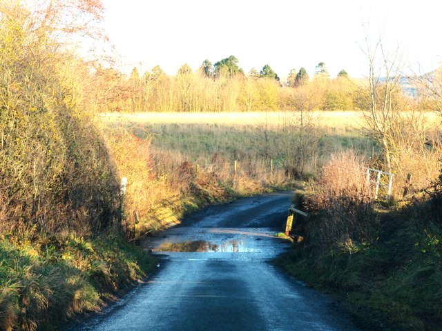
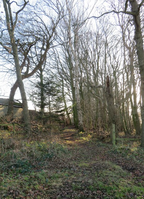
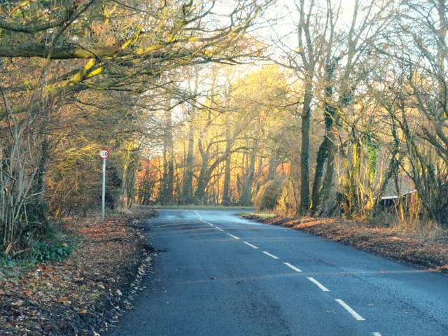
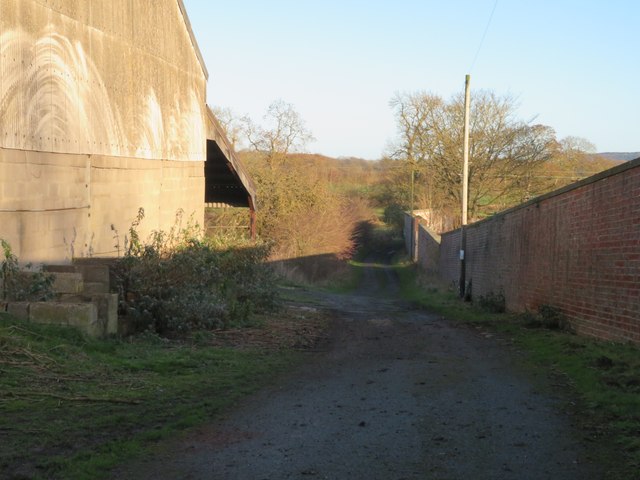
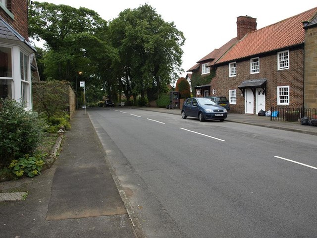
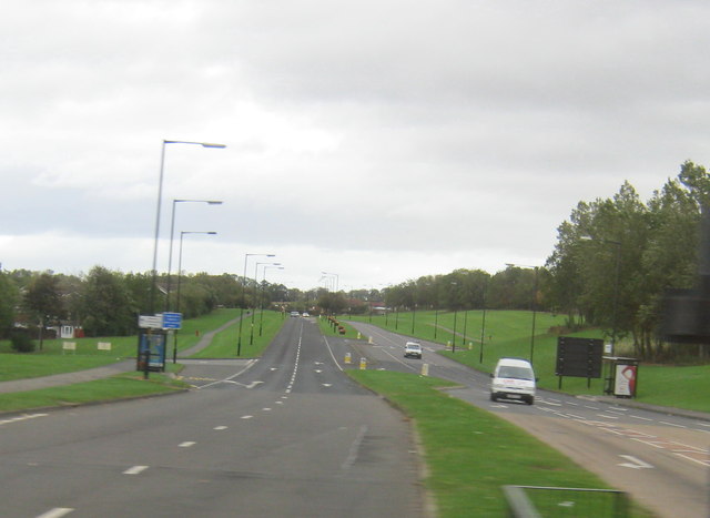
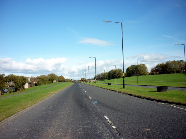
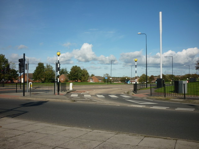
West Clump Images

Images are sourced within 2km of 54.51291/-1.1765951 or Grid Reference NZ5313. Thanks to Geograph Open Source API. All images are credited.

Tunstall Farm, Little Ayton
Ford on Tunstall Lane, Little Ayton There is a footbridge on the right but the approaches to it are overgrown.
Ford on Tunstall Lane, Little Ayton
There is a footbridge on the right but the approaches to it are overgrown.
Green Lane Heading east towards Tunstall with the prominent 'pimple' of Roseberry Topping in the distance.
Green Lane
Heading east towards Tunstall with the prominent 'pimple' of Roseberry Topping in the distance.
Ridge and furrow at Tunstall Tunstall  must be a decayed medieval village site, still with the name of the old village, but now comprising just a farm and one other dwelling. The ridge and furrow shows old plough strips, which could be of medieval date.
Ridge and furrow at Tunstall
Tunstall must be a decayed medieval village site, still with the name of the old village, but now comprising just a farm and one other dwelling. The ridge and furrow shows old plough strips, which could be of medieval date.
Ford on Tunstall Lane One wondered if this might prove to be a deep ford after many weeks of heavy rains, but the reality was no more than a puddle across an 'Irish bridge'.
Ford on Tunstall Lane
One wondered if this might prove to be a deep ford after many weeks of heavy rains, but the reality was no more than a puddle across an 'Irish bridge'.
Footpath off Tunstall Lane Path heading south along a belt of trees. One is doubtful if this path sees much pedestrian traffic as it doesn't lead to anywhere very interesting.
Footpath off Tunstall Lane
Path heading south along a belt of trees. One is doubtful if this path sees much pedestrian traffic as it doesn't lead to anywhere very interesting.
Old road into Nunthorpe The A172 now by-passes the village of Nunthorpe, a diversion made probably in the late 1960's. My old AA map of 1953 shows this as the main road.
Old road into Nunthorpe
The A172 now by-passes the village of Nunthorpe, a diversion made probably in the late 1960's. My old AA map of 1953 shows this as the main road.
Footpath at Nunthorpe The path, which is a good track, leads between what appear to be abandoned farm buildings close to Nunthorpe Hall, the wall on the right being the boundary of the hall grounds.
Footpath at Nunthorpe
The path, which is a good track, leads between what appear to be abandoned farm buildings close to Nunthorpe Hall, the wall on the right being the boundary of the hall grounds.
Old road north of Nunthorpe village This is the line of the original A172 approaching a roundabout where it meets the current A172 which has by-passed Nunthorpe village.
Old road north of Nunthorpe village
This is the line of the original A172 approaching a roundabout where it meets the current A172 which has by-passed Nunthorpe village.
Wetland on the edge of urban sprawl This could be a rural scene with a rush & sedge fringed pond, but it is close to busy 'A' roads on the southern edge of Middlesbrough where houses and traffic can just be glimpsed in the background. Taken from a newly enclosed garden area to the west of Nunthorpe church.
Wetland on the edge of urban sprawl
This could be a rural scene with a rush & sedge fringed pond, but it is close to busy 'A' roads on the southern edge of Middlesbrough where houses and traffic can just be glimpsed in the background. Taken from a newly enclosed garden area to the west of Nunthorpe church.
Church of St Mary the Virgin Nunthorpe church stands between the old estate village of Nunthorpe to the south and the sprawling suburb of Middlesbrough that carries the same name to the north. This is a muscular looking building by Temple Moore, built between 1914 & 1926.
Church of St Mary the Virgin
Nunthorpe church stands between the old estate village of Nunthorpe to the south and the sprawling suburb of Middlesbrough that carries the same name to the north. This is a muscular looking building by Temple Moore, built between 1914 & 1926.
Rural view from near Nunthorpe church A view across countryside towards Roseberry Topping.
Rural view from near Nunthorpe church
A view across countryside towards Roseberry Topping.
Road through Old Nunthorpe
Stainton Way north east of the A172 at Dixons Bank
Stainton Way, Nunthorpe
Stainton Way from Dixon's Bank, Nunthorpe
Nunthorpe train station
Farmland, Upsall Carrs
Show me another place!

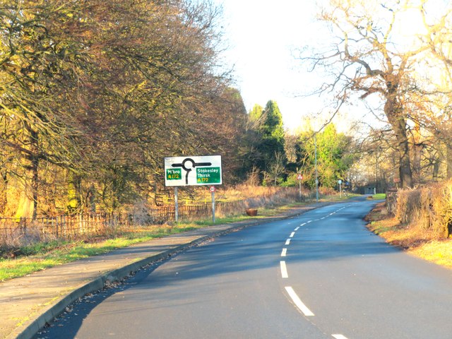
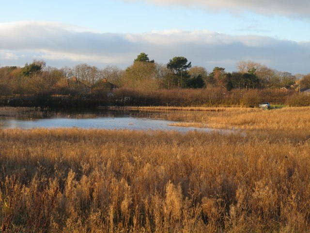
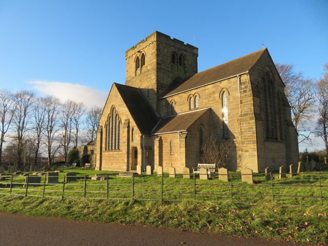
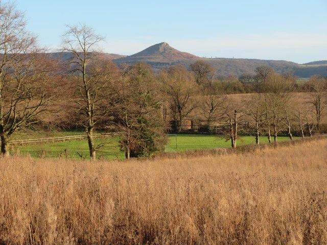
West Clump is located at Grid Ref: NZ5313 (Lat: 54.51291, Lng: -1.1765951)

Division: North Riding

Unitary Authority: Middlesbrough

Police Authority: Redcar and Cleveland

What 3 Words

///rents.report.toward. Near Nunthorpe, North Yorkshire

Related Wikis

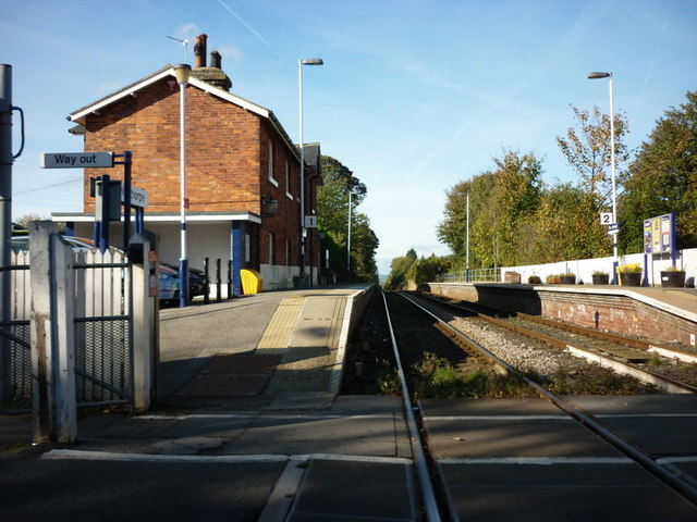
Nunthorpe railway station

Nunthorpe is a railway station on the Esk Valley Line, which runs between Middlesbrough and Whitby via Nunthorpe. The station, situated 4 miles 48 chains...

Nunthorpe

Nunthorpe is a village and civil parish in the Borough of Middlesbrough in North Yorkshire, England. It is part of the historic county of Yorkshire, North...

St Bernadette's, Nunthorpe

The parish church of St Bernadette is a Roman Catholic Church in Nunthorpe in the Diocese of Middlesbrough. The parish priest is Canon John Lumley. �...
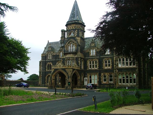
Nunthorpe Academy

Nunthorpe Academy is an 11-18 Specialist Science, Business and Enterprise Academy in Nunthorpe, Middlesbrough, North Yorkshire, England. Houses are Endeavour...

Nearby Amenities

Located within 500m of 54.51291,-1.1765951
Standing Stone
Historic: monument
Lat/Long: 54.5143994/-1.1746576
Barrier: stile
Foot: yes
Stile: stepover
Lat/Long: 54.5142218/-1.1695129
Fixme: needs survey
Lat/Long: 54.5147434/-1.1783145
Fixme: needs survey
Lat/Long: 54.5147676/-1.1782636
The data included in this document is from www.openstreetmap.org. The data is made available under ODbL.

Have you been to West Clump?

Leave your review of West Clump below (or comments, questions and feedback).