Jubilee Plantation

Wood, Forest in Yorkshire

England

Jubilee Plantation

Tunstall Farm, Little Ayton
Tunstall Farm, Little Ayton Credit: Humphrey Bolton

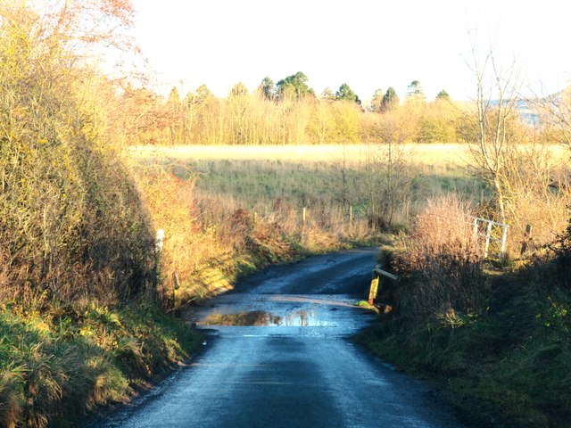
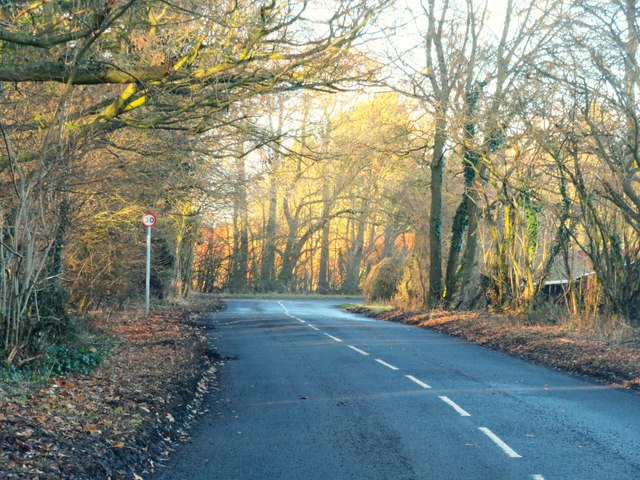
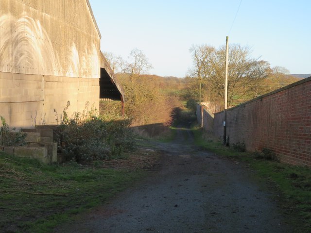
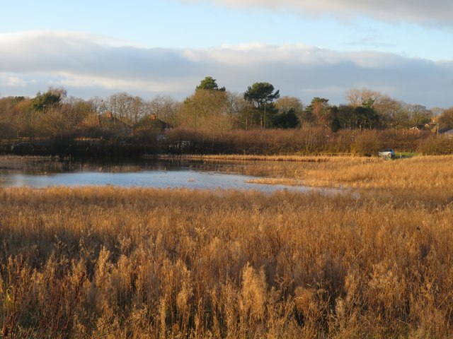
Jubilee Plantation is a picturesque woodland located in the county of Yorkshire, England. Spread over a vast area, this forest is known for its natural beauty and tranquility. The plantation is situated near the village of Wood, providing a serene escape from the bustling city life.

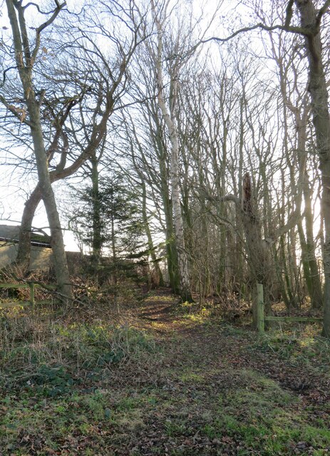
The woodland is a mix of dense trees, mainly consisting of native species such as oak, beech, and birch. These trees create a lush green canopy that provides shade and habitat for various wildlife species. The forest floor is covered with a thick carpet of moss and ferns, adding to its enchanting atmosphere.

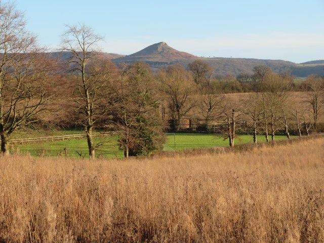
Jubilee Plantation offers a range of recreational activities for visitors. There are several well-maintained nature trails that meander through the woods, allowing hikers and nature enthusiasts to explore the area. These trails offer breathtaking views of the surrounding countryside and are suitable for all levels of fitness.

The woodland is also home to a diverse array of wildlife, including deer, foxes, and a variety of bird species. Birdwatchers flock to Jubilee Plantation to catch glimpses of rare species such as woodpeckers and owls.

Jubilee Plantation is a popular destination for families, as it offers picnic areas and designated camping spots. The peaceful ambiance of the forest makes it an ideal location for a day out or a weekend getaway.

Overall, Jubilee Plantation in Yorkshire is a captivating woodland, offering visitors a chance to immerse themselves in nature and experience the tranquility of the English countryside.

If you have any feedback on the listing, please let us know in the comments section below.

Jubilee Plantation Images

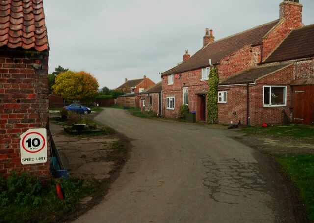
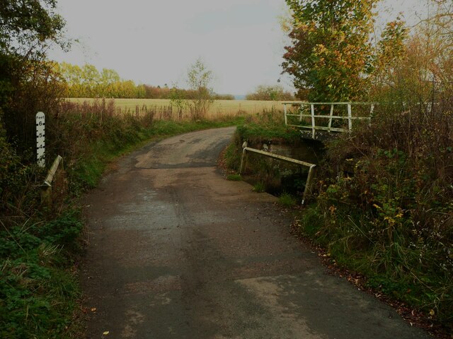
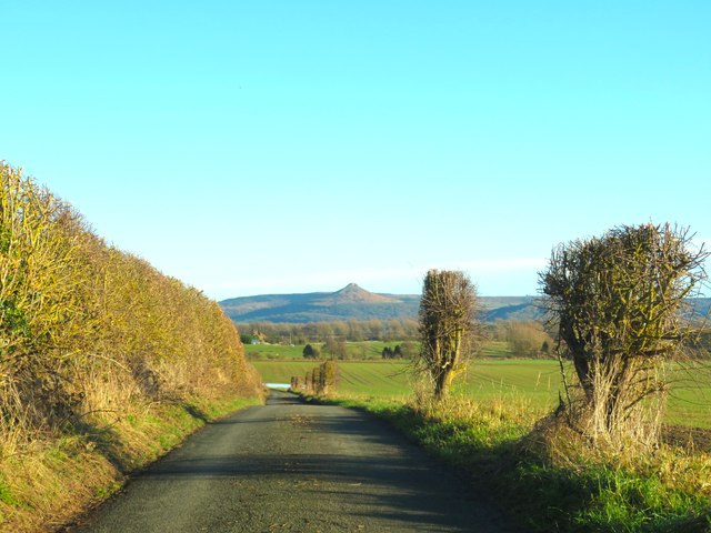
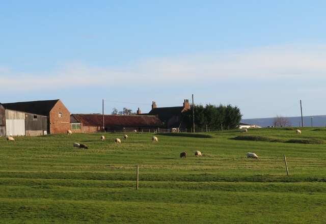
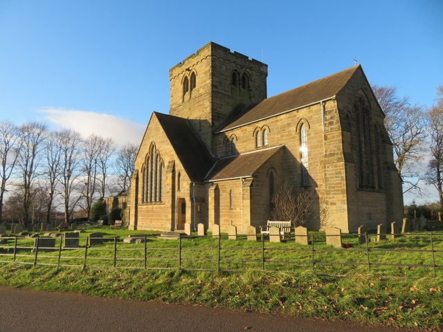
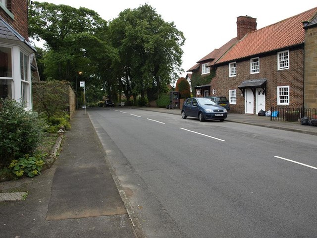
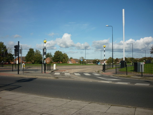
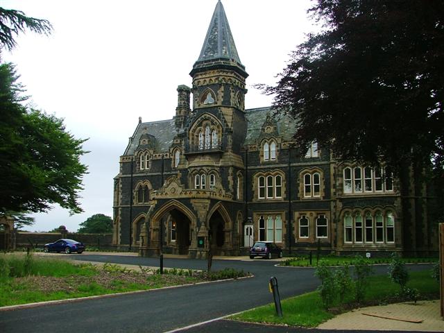
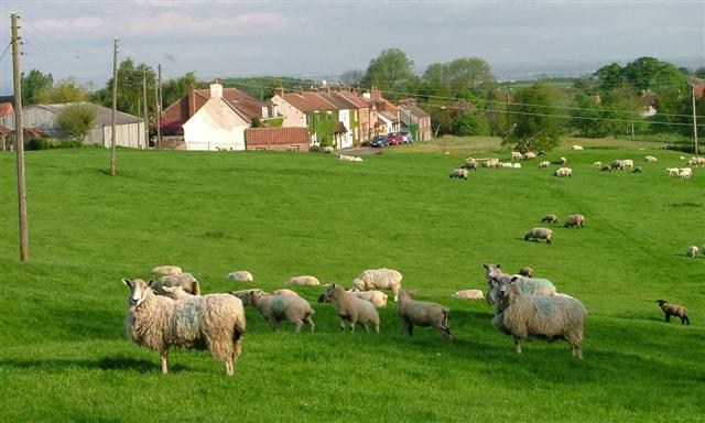
Images are sourced within 2km of 54.510006/-1.1804067 or Grid Reference NZ5313. Thanks to Geograph Open Source API. All images are credited.

Tunstall Farm, Little Ayton
Ford on Tunstall Lane, Little Ayton There is a footbridge on the right but the approaches to it are overgrown.
Ford on Tunstall Lane, Little Ayton
There is a footbridge on the right but the approaches to it are overgrown.
Bromley Lane Less than a mile from the fringes of the Teesside conurbation, this is still a rural area to the east of Newby.
Bromley Lane
Less than a mile from the fringes of the Teesside conurbation, this is still a rural area to the east of Newby.
Green Lane Heading east towards Tunstall with the prominent 'pimple' of Roseberry Topping in the distance.
Green Lane
Heading east towards Tunstall with the prominent 'pimple' of Roseberry Topping in the distance.
Ridge and furrow at Tunstall Tunstall  must be a decayed medieval village site, still with the name of the old village, but now comprising just a farm and one other dwelling. The ridge and furrow shows old plough strips, which could be of medieval date.
Ridge and furrow at Tunstall
Tunstall must be a decayed medieval village site, still with the name of the old village, but now comprising just a farm and one other dwelling. The ridge and furrow shows old plough strips, which could be of medieval date.
Ford on Tunstall Lane One wondered if this might prove to be a deep ford after many weeks of heavy rains, but the reality was no more than a puddle across an 'Irish bridge'.
Ford on Tunstall Lane
One wondered if this might prove to be a deep ford after many weeks of heavy rains, but the reality was no more than a puddle across an 'Irish bridge'.
Footpath off Tunstall Lane Path heading south along a belt of trees. One is doubtful if this path sees much pedestrian traffic as it doesn't lead to anywhere very interesting.
Footpath off Tunstall Lane
Path heading south along a belt of trees. One is doubtful if this path sees much pedestrian traffic as it doesn't lead to anywhere very interesting.
Old road into Nunthorpe The A172 now by-passes the village of Nunthorpe, a diversion made probably in the late 1960's. My old AA map of 1953 shows this as the main road.
Old road into Nunthorpe
The A172 now by-passes the village of Nunthorpe, a diversion made probably in the late 1960's. My old AA map of 1953 shows this as the main road.
Footpath at Nunthorpe The path, which is a good track, leads between what appear to be abandoned farm buildings close to Nunthorpe Hall, the wall on the right being the boundary of the hall grounds.
Footpath at Nunthorpe
The path, which is a good track, leads between what appear to be abandoned farm buildings close to Nunthorpe Hall, the wall on the right being the boundary of the hall grounds.
Old road north of Nunthorpe village This is the line of the original A172 approaching a roundabout where it meets the current A172 which has by-passed Nunthorpe village.
Old road north of Nunthorpe village
This is the line of the original A172 approaching a roundabout where it meets the current A172 which has by-passed Nunthorpe village.
Wetland on the edge of urban sprawl This could be a rural scene with a rush & sedge fringed pond, but it is close to busy 'A' roads on the southern edge of Middlesbrough where houses and traffic can just be glimpsed in the background. Taken from a newly enclosed garden area to the west of Nunthorpe church.
Wetland on the edge of urban sprawl
This could be a rural scene with a rush & sedge fringed pond, but it is close to busy 'A' roads on the southern edge of Middlesbrough where houses and traffic can just be glimpsed in the background. Taken from a newly enclosed garden area to the west of Nunthorpe church.
Church of St Mary the Virgin Nunthorpe church stands between the old estate village of Nunthorpe to the south and the sprawling suburb of Middlesbrough that carries the same name to the north. This is a muscular looking building by Temple Moore, built between 1914 & 1926.
Church of St Mary the Virgin
Nunthorpe church stands between the old estate village of Nunthorpe to the south and the sprawling suburb of Middlesbrough that carries the same name to the north. This is a muscular looking building by Temple Moore, built between 1914 & 1926.
Rural view from near Nunthorpe church A view across countryside towards Roseberry Topping.
Rural view from near Nunthorpe church
A view across countryside towards Roseberry Topping.
Road through Old Nunthorpe
Stainton Way from Dixon's Bank, Nunthorpe
Farmland off the B1292
B1292 heading west
B1292 heading west
Tunstall Lane heading west
Show me another place!

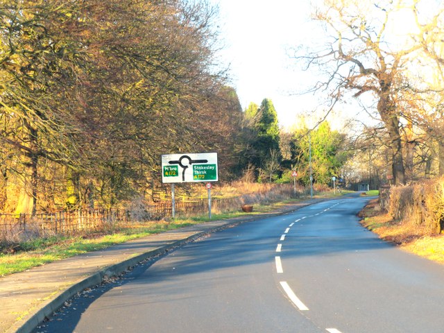
Jubilee Plantation is located at Grid Ref: NZ5313 (Lat: 54.510006, Lng: -1.1804067)

Division: North Riding

Unitary Authority: Middlesbrough

Police Authority: Redcar and Cleveland

What 3 Words

///stale.magma.flames. Near Nunthorpe, North Yorkshire

Related Wikis

Nunthorpe

Nunthorpe is a village and civil parish in the Borough of Middlesbrough in North Yorkshire, England. It is part of the historic county of Yorkshire, North...

Nunthorpe railway station

Nunthorpe is a railway station on the Esk Valley Line, which runs between Middlesbrough and Whitby via Nunthorpe. The station, situated 4 miles 48 chains...

St Bernadette's, Nunthorpe

The parish church of St Bernadette is a Roman Catholic Church in Nunthorpe in the Diocese of Middlesbrough. The parish priest is Canon John Lumley. �...

Newby, Hambleton

Newby is a village and civil parish in the Hambleton district of North Yorkshire, England. Close to the border with the borough of Middlesbrough and 7...

Have you been to Jubilee Plantation?

Leave your review of Jubilee Plantation below (or comments, questions and feedback).