Ellerbys Plantation
Wood, Forest in Yorkshire
England
Ellerbys Plantation

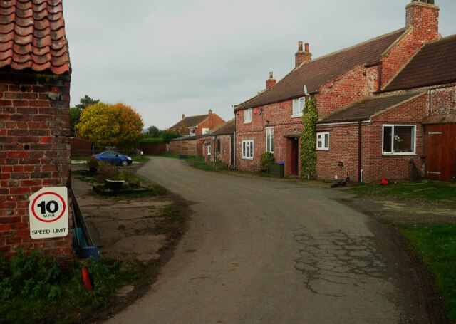
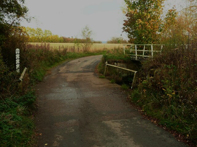
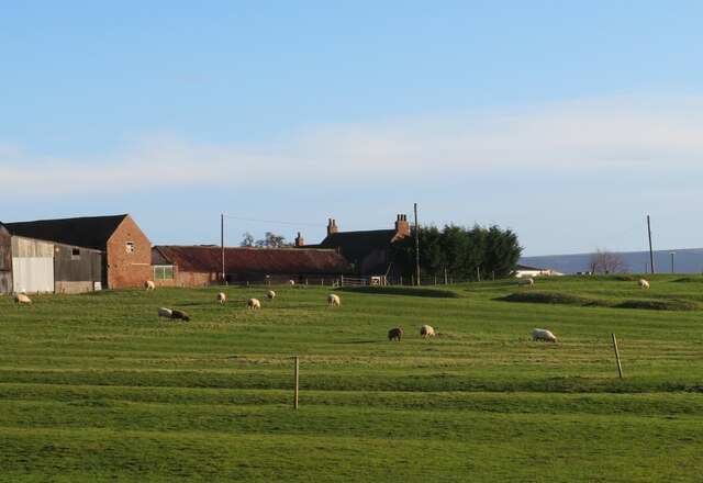
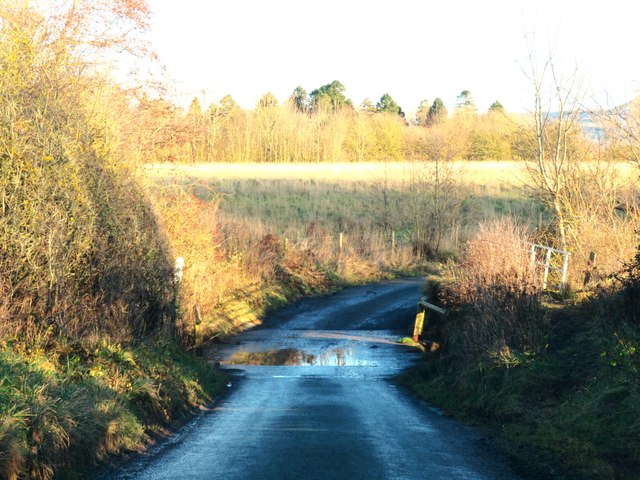
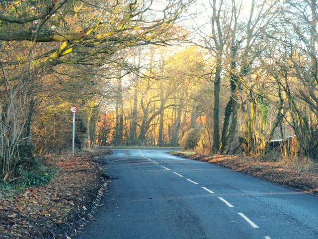
Ellerbys Plantation is a picturesque woodland area located in Yorkshire, England. Spread across a vast expanse of land, the plantation is known for its lush greenery, abundant wildlife, and serene atmosphere. Situated in the heart of the county, it is a popular destination for nature lovers, hikers, and those seeking tranquility away from the bustling city life.
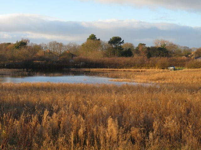
The plantation is predominantly comprised of various species of trees, including oak, beech, and pine, which provide a rich and diverse habitat for a wide range of native flora and fauna. The dense foliage offers a natural sanctuary for numerous bird species, such as woodpeckers, owls, and songbirds, making it a paradise for birdwatchers.
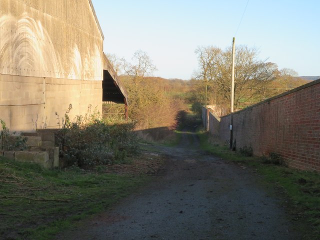
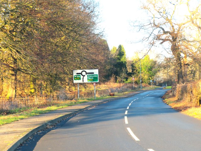
Trails and pathways wind their way through the plantation, allowing visitors to explore its natural beauty and discover hidden gems along the way. The well-maintained paths provide easy access to the plantation's most scenic spots, including a picturesque lake and a small waterfall, adding to the allure of the area.
Ellerbys Plantation also boasts a visitor center, where visitors can learn more about the local wildlife, flora, and fauna through informative displays and exhibitions. Guided tours are available for those who wish to delve deeper into the plantation's history and significance.
Whether it's a leisurely stroll, a challenging hike, or a peaceful picnic amidst nature, Ellerbys Plantation offers something for everyone. Its captivating beauty and serene ambiance make it a must-visit destination for nature enthusiasts and those seeking respite in Yorkshire's enchanting woodlands.
If you have any feedback on the listing, please let us know in the comments section below.
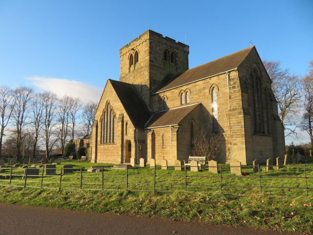
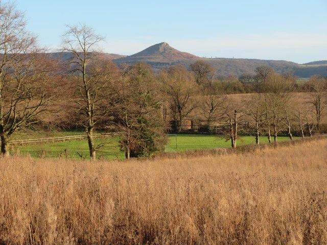
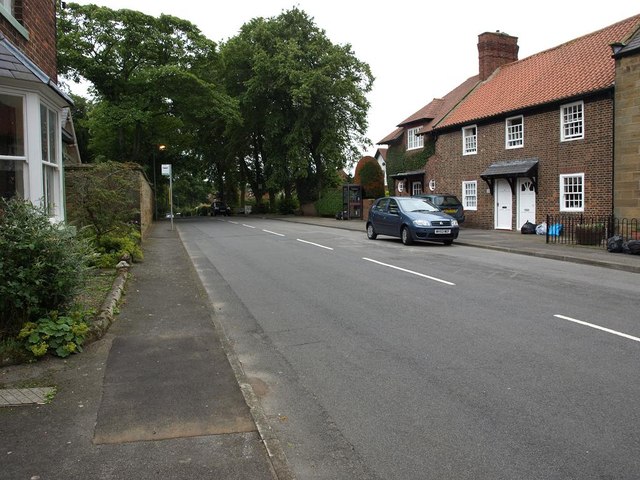
Ellerbys Plantation Images
Images are sourced within 2km of 54.516395/-1.1814837 or Grid Reference NZ5313. Thanks to Geograph Open Source API. All images are credited.


Ellerbys Plantation is located at Grid Ref: NZ5313 (Lat: 54.516395, Lng: -1.1814837)
Division: North Riding
Unitary Authority: Middlesbrough
Police Authority: Redcar and Cleveland
What 3 Words
///anyway.staple.jump. Near Nunthorpe, North Yorkshire
Nearby Locations
Related Wikis
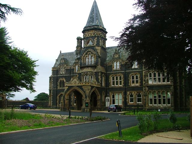
Nunthorpe
Nunthorpe is a village and civil parish in the Borough of Middlesbrough in North Yorkshire, England. It is part of the historic county of Yorkshire, North...

Nunthorpe railway station
Nunthorpe is a railway station on the Esk Valley Line, which runs between Middlesbrough and Whitby via Nunthorpe. The station, situated 4 miles 48 chains...

St Bernadette's, Nunthorpe
The parish church of St Bernadette is a Roman Catholic Church in Nunthorpe in the Diocese of Middlesbrough. The parish priest is Canon John Lumley. �...
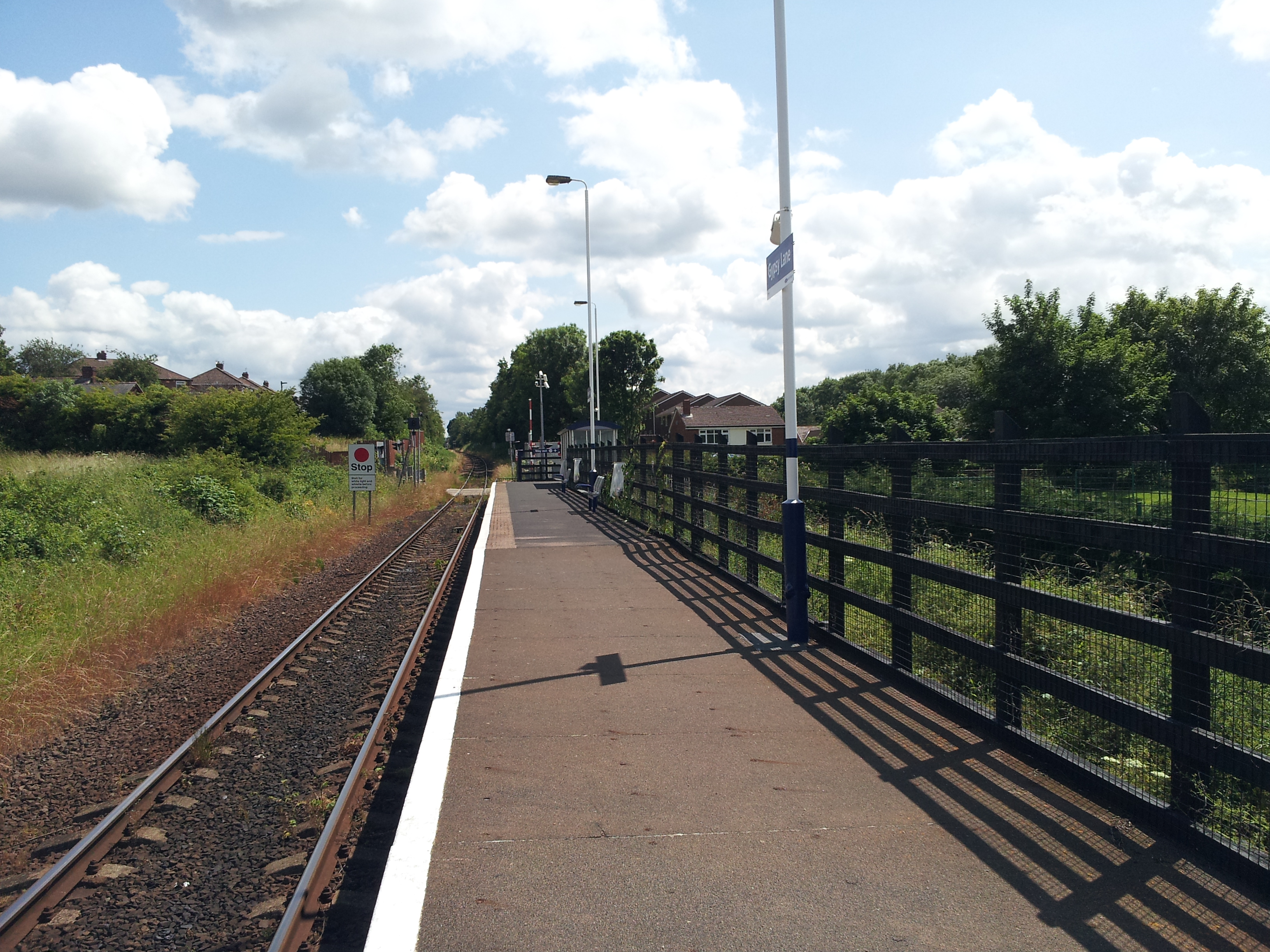
Gypsy Lane railway station
Gypsy Lane is a railway station on the Esk Valley Line, which runs between Middlesbrough and Whitby via Nunthorpe. The station, situated 4 miles 3 chains...
Nearby Amenities
Located within 500m of 54.516395,-1.1814837Have you been to Ellerbys Plantation?
Leave your review of Ellerbys Plantation below (or comments, questions and feedback).