Dry Drayton

Settlement in Cambridgeshire South Cambridgeshire

England

Dry Drayton

Dry Drayton, SS Peter and Paul <span class="nowrap"><a title="http://www.druidic.org/camchurch/churches/drydrayton.htm" rel="nofollow ugc noopener" href="http://www.druidic.org/camchurch/churches/drydrayton.htm">Link</a><img style="margin-left:2px;" alt="External link" title="External link - shift click to open in new window" src="https://s1.geograph.org.uk/img/external.png" width="10" height="10"/></span>
Dry Drayton, SS Peter and Paul Credit: mym

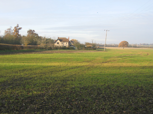
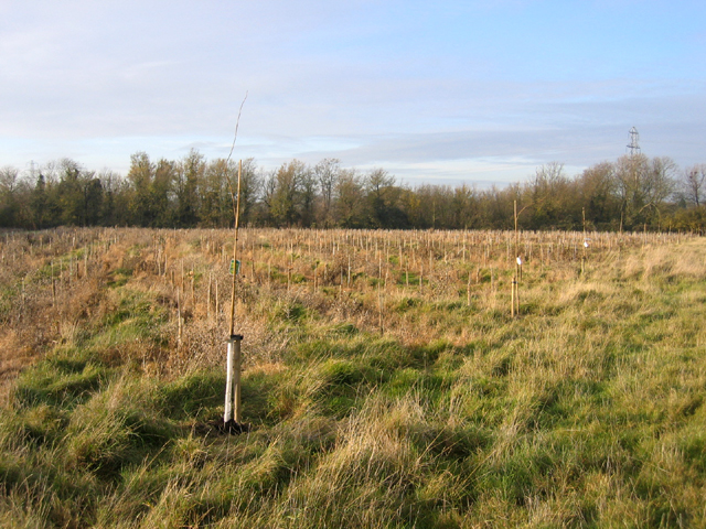
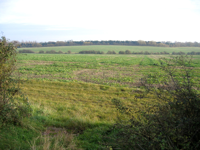
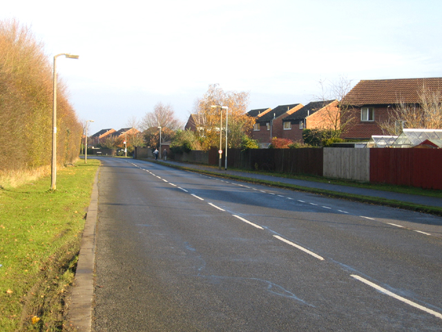
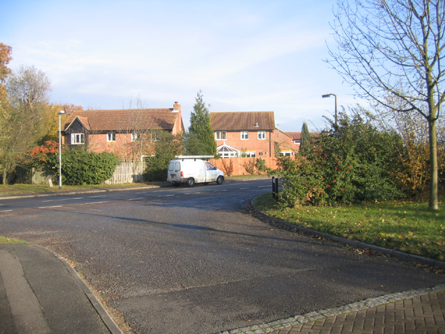
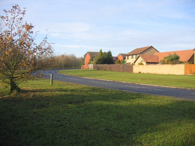
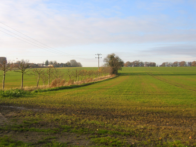
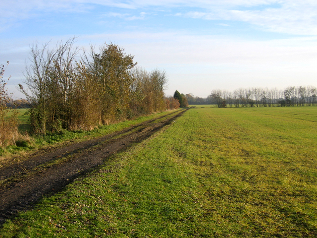
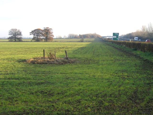
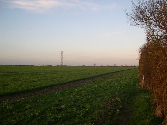
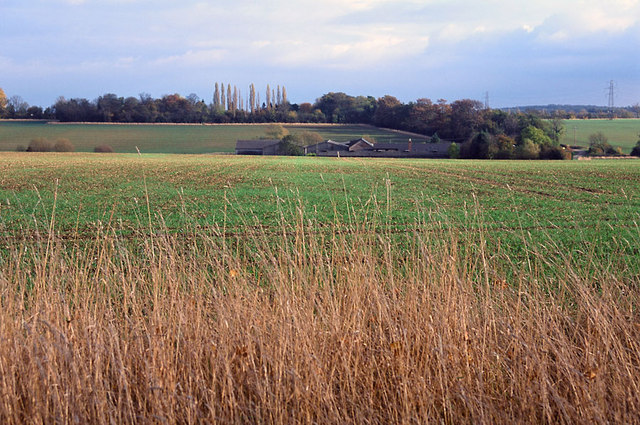
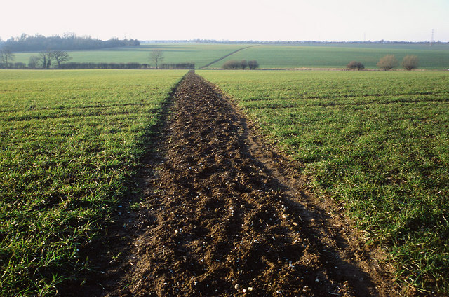
Dry Drayton is a small village located in the county of Cambridgeshire, England. Situated approximately 7 miles northwest of the city of Cambridge, it lies on the edge of the Fens, an area known for its flat, low-lying landscape. The village is nestled amidst picturesque countryside, surrounded by open fields and farmland.

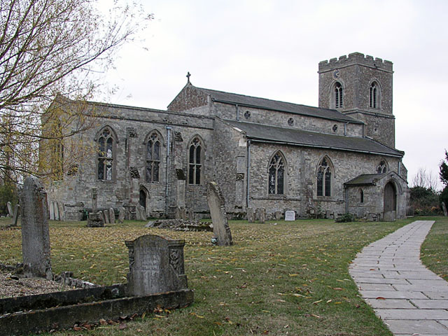
With a population of around 1,000 residents, Dry Drayton maintains a close-knit community atmosphere. The village is characterized by its charming, traditional English architecture, with a mix of thatched cottages and brick-built houses. The centerpiece of the village is the St. Peter and St. Paul Church, a historic building dating back to the 13th century.

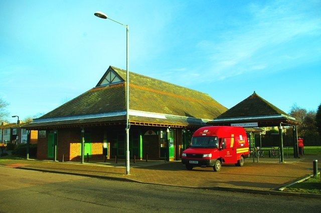
Despite its small size, Dry Drayton offers a range of amenities to its residents. These include a primary school, a village hall, a local pub, and a post office. The village is well-connected to nearby towns and cities, with regular bus services providing transport links.

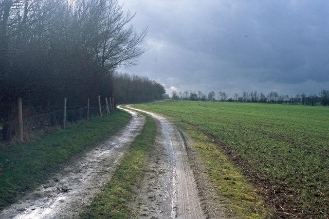
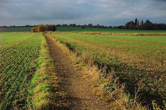
The surrounding countryside provides ample opportunities for outdoor activities, such as walking and cycling, with several footpaths and bridleways crisscrossing the area. The village also benefits from its proximity to the city of Cambridge, which offers a wide range of cultural, educational, and recreational opportunities.

Overall, Dry Drayton is a peaceful and idyllic village, offering a rural escape while still being within easy reach of the amenities and attractions of nearby towns and cities.

If you have any feedback on the listing, please let us know in the comments section below.

Dry Drayton Images

Images are sourced within 2km of 52.240797/0.01832 or Grid Reference TL3762. Thanks to Geograph Open Source API. All images are credited.

Dry Drayton, SS Peter and Paul <span class="nowrap"><a title="http://www.druidic.org/camchurch/churches/drydrayton.htm" rel="nofollow ugc noopener" href="http://www.druidic.org/camchurch/churches/drydrayton.htm">Link</a><img style="margin-left:2px;" alt="External link" title="External link - shift click to open in new window" src="https://s1.geograph.org.uk/img/external.png" width="10" height="10"/></span>
Dry Drayton, SS Peter and Paul
Farmland and cottages, Madingley, Cambs – view NW, from the bridlepath, of New Farm and cottages on the Dry Drayton Road.
Farmland and cottages, Madingley, Cambs
– view NW, from the bridlepath, of New Farm and cottages on the Dry Drayton Road.
New plantation, Dry Drayton, Cambs – in neat rows, just north of Madingley Road.
New plantation, Dry Drayton, Cambs
– in neat rows, just north of Madingley Road.
Callow Brook valley, Dry Drayton, Cambs – view E across the northern edge of the square from Scotland Road.
Callow Brook valley, Dry Drayton, Cambs
– view E across the northern edge of the square from Scotland Road.
Saxon Way, Bar Hill, Cambs Saxon Way skirts the western part of the settlement, just south of the A14 road; the belt of trees (left) separates the housing estates from the open countryside and village of Lolworth.
Saxon Way, Bar Hill, Cambs
Saxon Way skirts the western part of the settlement, just south of the A14 road; the belt of trees (left) separates the housing estates from the open countryside and village of Lolworth.
Crafts Way, Bar Hill, Cambs View N of Crafts Hill and the perimeter road from Thruffle Way.
Crafts Way, Bar Hill, Cambs
View N of Crafts Hill and the perimeter road from Thruffle Way.
Saxon Way, Bar Hill, Cambs – view of the perimeter road at the southern end of the village.
Saxon Way, Bar Hill, Cambs
– view of the perimeter road at the southern end of the village.
Farmland, Dry Drayton, Cambs – view NW towards the centre of the square from the Oakington Road.
Farmland, Dry Drayton, Cambs
– view NW towards the centre of the square from the Oakington Road.
Farm track and farmland, Dry Drayton, Cambs – view SE of Dry Drayton Estate farmland from the Oakington Road.
Farm track and farmland, Dry Drayton, Cambs
– view SE of Dry Drayton Estate farmland from the Oakington Road.
A14 road and farmland, Oakington, Cambs – view SE along the A14 towards the Dry Drayton junction with Slate Hall farmland down to winter cereals.
A14 road and farmland, Oakington, Cambs
– view SE along the A14 towards the Dry Drayton junction with Slate Hall farmland down to winter cereals.
The Links trading estate, Bar Hill, Cambs Bar Hill is a compact, modern, planned village founded in 1967; the Links is in the SE corner of the square adjacent to the A14 road.
The Links trading estate, Bar Hill, Cambs
Bar Hill is a compact, modern, planned village founded in 1967; the Links is in the SE corner of the square adjacent to the A14 road.
Line of the Greenwich Meridian The Greenwich Meridian intersects the bend in the footpath marked by the yellow tipped sign and passes directly under the central electricity pylon. This view is true north (and not grid north!).
Line of the Greenwich Meridian
The Greenwich Meridian intersects the bend in the footpath marked by the yellow tipped sign and passes directly under the central electricity pylon. This view is true north (and not grid north!).
Footpath and field boundary Quiet and unremarkable Cambridgeshire agricultural land.
Footpath and field boundary
Quiet and unremarkable Cambridgeshire agricultural land.
Track from New Farm to Park Farm This track lies adjacent to the long shelter bed planted at the boundary of the original Madingley Hall estate.
Track from New Farm to Park Farm
This track lies adjacent to the long shelter bed planted at the boundary of the original Madingley Hall estate.
Footpath to Lolworth from Bar Hill This surfaced path provides good walking even in the wettest of winters when fields are waterlogged.
Footpath to Lolworth from Bar Hill
This surfaced path provides good walking even in the wettest of winters when fields are waterlogged.
Fields of Rectory Farm A view back towards Dry Drayton from the footpath from Dry Drayton towards Lolworth
Fields of Rectory Farm
A view back towards Dry Drayton from the footpath from Dry Drayton towards Lolworth
Bar Hill Library and Post Office The first example of a combined library and post office in the UK.  When their original post office closed, the four thousand residents of Bar Hill were left with a trek to tiny Lolworth (population 160) for the nearest alternative facilities until the library service came to the rescue by offering space for a post office counter.
Bar Hill Library and Post Office
The first example of a combined library and post office in the UK. When their original post office closed, the four thousand residents of Bar Hill were left with a trek to tiny Lolworth (population 160) for the nearest alternative facilities until the library service came to the rescue by offering space for a post office counter.
Footpath to Childerley from Dry Drayton The footpath is muddy in the winter and a battle between towering rape crops in the summer!
Footpath to Childerley from Dry Drayton
The footpath is muddy in the winter and a battle between towering rape crops in the summer!
Show me another place!

Dry Drayton is located at Grid Ref: TL3762 (Lat: 52.240797, Lng: 0.01832)

Administrative County: Cambridgeshire

District: South Cambridgeshire

Police Authority: Cambridgeshire

What 3 Words

///debit.clenching.thick. Near Bar Hill, Cambridgeshire

Related Wikis

Dry Drayton

Dry Drayton is a village and civil parish about 5 miles (8 km) northwest of Cambridge in Cambridgeshire, England, listed as Draitone in the Domesday Book...

Bar Hill

Bar Hill is a purpose-built village with a population of 4,000 about 4 miles (7 km) northwest of Cambridge, England on the A14 road, just east of the Prime...

University of Cambridge Institute of Continuing Education

The University of Cambridge Institute of Continuing Education (ICE) is a department of the University of Cambridge dedicated to providing continuing education...

Lolworth

Lolworth is a small village and civil parish in the district of South Cambridgeshire, in the county of Cambridgeshire, England, located approximately 8...
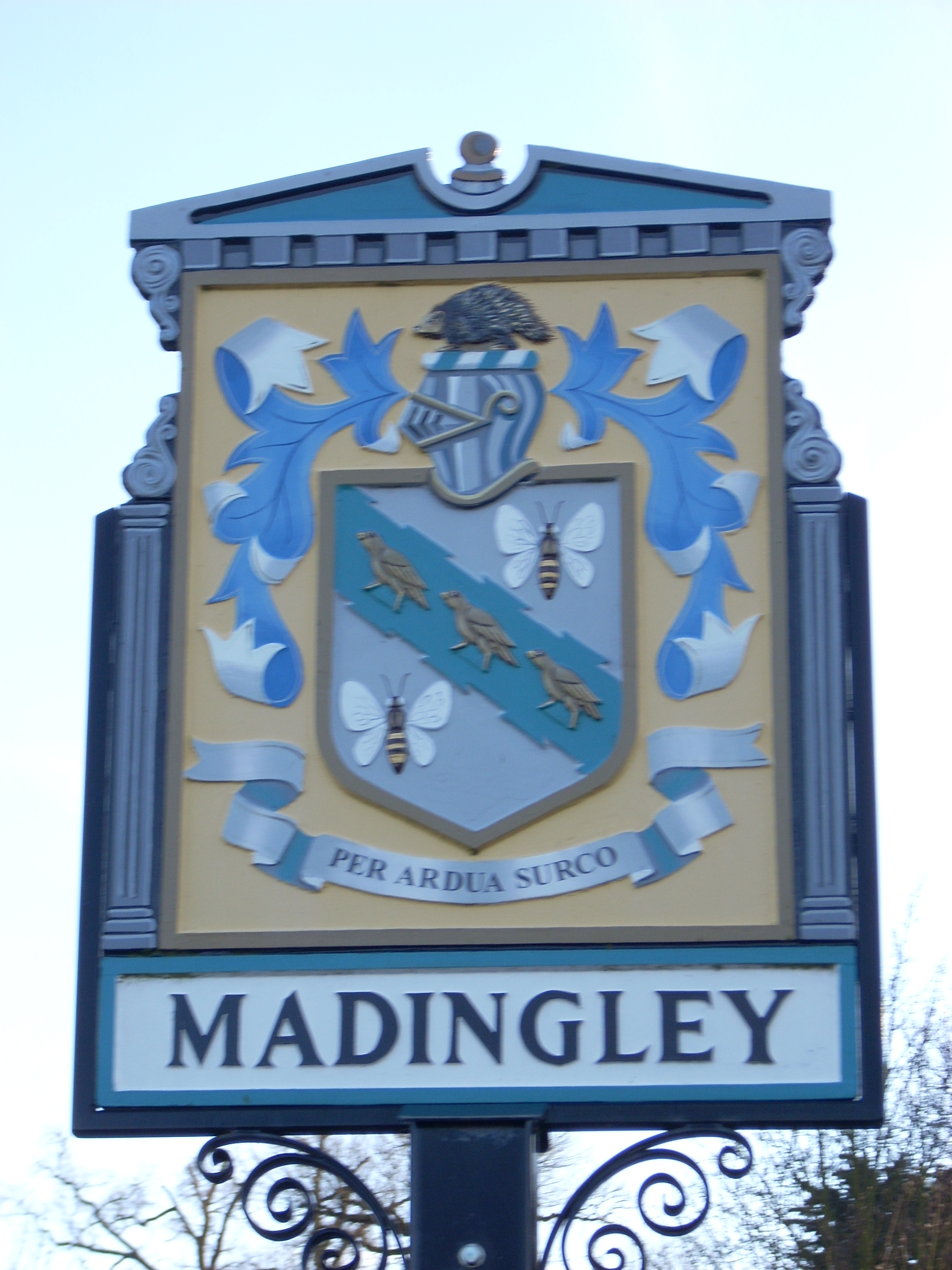
Madingley

Madingley is a small village near Cambridge, England. It is located close to the nearby villages of Coton and Dry Drayton on the western outskirts of Cambridge...

Childerley

Childerley, also known as Great Childerley and Little Childerly, was a small rural village in the county of Cambridgeshire in the East of England, United...

Hardwick, Cambridgeshire

Hardwick is a village and civil parish in the county of Cambridgeshire, England with a large housing estate located about 6 miles (9.7 km) west of the...

Madingley Wood

Madingley Wood is a 15.4-hectare (38-acre) biological Site of Special Scientific Interest near Madingley, on the western outskirts of Cambridge.The western...

Nearby Amenities

Located within 500m of 52.240797,0.01832
Pub
Black Horse
Outdoor Seating: yes
Wikidata: Q26420662
Lat/Long: 52.2397665/0.0219337
Mini Roundabout
Direction: clockwise
Lat/Long: 52.2399596/0.0253105
Mini Roundabout
Direction: clockwise
Lat/Long: 52.2398382/0.0179936
Turning Circle
Source: survey
Lat/Long: 52.2413047/0.0195887
Turning Circle
Source: survey
Lat/Long: 52.2391909/0.0210171
Dry Drayton
Is In: Cambridgeshire, England, UK
Place: village
Population: 590
Source Name: local knowledge
Source Population: http://www.scambs.gov.uk/CommunityandLiving/VillageServicesAndAmenities/
Wikidata: Q4537989
Lat/Long: 52.2416457/0.0201642
Dry Drayton Methodist Church (closed)
Building: yes
Denomination: methodist
Disused Amenity: place_of_worship
Religion: christian
Source Name: local knowledge
Lat/Long: 52.2395128/0.0233532
Post Box
Collection Times: Mo-Fr 09:00; Sa 07:00
Operator: Royal Mail
Operator Wikidata: Q638098
Post Box Type: pillar
Ref: CB3 293
Royal Cypher: EIIR
Royal Cypher Wikidata: Q33102113
Source: survey
Lat/Long: 52.2406658/0.0182348
Historic: yes
Man Made: water_well
Pump: manual
Source: survey
Lat/Long: 52.2411707/0.0186243
Bus Stop
Park Lane
Bus: yes
Naptan AtcoCode: 0500SDRYD003
Naptan Bearing: SW
Naptan BusStopType: CUS
Naptan CommonName: Park Lane
Naptan Indicator: near
Naptan Landmark: Park Lane
Naptan NaptanCode: cmbdwdap
Naptan PlusbusZoneRef: CAMBDGE
Naptan Street: Park Street
Naptan Verified: no
Public Transport: platform
Source: naptan_import
Lat/Long: 52.240064/0.0255201
Bus Stop
High Street
Bus Stop: shelter
Naptan AtcoCode: 0500SDRYD007
Naptan Bearing: E
Naptan CommonName: High Street
Naptan Indicator: near
Naptan Landmark: High Street
Naptan NaptanCode: cmbdwdgd
Naptan PlusbusZoneRef: CAMBDGE
Naptan Street: Park Street
Naptan Verified: no
Shelter: yes
Source: naptan_import
Lat/Long: 52.239866/0.0183932
Bus Stop
High Street
Naptan AtcoCode: 0500SDRYD008
Naptan Bearing: W
Naptan BusStopType: CUS
Naptan CommonName: High Street
Naptan Indicator: opp
Naptan Landmark: High Street
Naptan NaptanCode: cmbdwdgj
Naptan PlusbusZoneRef: CAMBDGE
Naptan Street: Park Street
Naptan Verified: no
Note: No flag; no post
Source: naptan_import
Lat/Long: 52.2397248/0.0182643
Power: pole
Lat/Long: 52.2416128/0.0209871
Power: pole
Lat/Long: 52.240833/0.0247236
Power: pole
Lat/Long: 52.2411811/0.0230311
Power: pole
Lat/Long: 52.2413667/0.022205
Bench
Lat/Long: 52.2384689/0.0196499
Barrier: kissing_gate
Lat/Long: 52.2389106/0.0218118
Barrier: kissing_gate
Lat/Long: 52.2404381/0.0235239
Barrier: stile
Source: survey
Lat/Long: 52.240458/0.0235748
Barrier: stile
Source: survey
Lat/Long: 52.2405159/0.0239036
Barrier: kissing_gate
Lat/Long: 52.2408171/0.0209773
Turning Circle
Lat/Long: 52.243525/0.0197368
Barrier: cycle_barrier
Cycle Barrier: single
Wheelchair Description: Barriers towards Bar Hill are much narrower and probably inaccessible for most wheelchair users..
Lat/Long: 52.2434669/0.018604
Bench
Backrest: yes
Material: wood
Seats: 6
Lat/Long: 52.2387453/0.0198176
Bench
Backrest: yes
Material: wood
Seats: 2
Lat/Long: 52.2385014/0.0191122
Bench
Backrest: yes
Material: wood
Lat/Long: 52.2391086/0.0212211
Bench
Backrest: yes
Lat/Long: 52.2393426/0.0201513
Barrier: bollard
Lat/Long: 52.2398589/0.018638
Bench
Backrest: yes
Inscription: In loving memory of our dear grandad Gordon Teversham who loved to sit here with his faithful companion Abbey by his side watching the world go by Love always Emma, Joshua, Mandy, Paul & Georgia X X X X X
Material: metal
Openbenches Id: 20507
Lat/Long: 52.2399773/0.0177444
Advertising: board
Board Type: notice
Information: board
Tourism: information
Lat/Long: 52.2406512/0.0182319
Fixme: Survey for panel type
Generator Method: photovoltaic
Generator Output Electricity: yes
Generator Source: solar
Generator Type: solar_photovoltaic_panel
Location: roof
Power: generator
Lat/Long: 52.239603/0.0233929
Fixme: Survey for panel type
Generator Method: photovoltaic
Generator Output Electricity: yes
Generator Source: solar
Generator Type: solar_photovoltaic_panel
Location: roof
Power: generator
Lat/Long: 52.2397418/0.023189
Fixme: Survey for panel type
Generator Method: photovoltaic
Generator Output Electricity: yes
Generator Source: solar
Generator Type: solar_photovoltaic_panel
Location: roof
Power: generator
Lat/Long: 52.2422876/0.0182055
Fixme: Survey for panel type
Generator Method: photovoltaic
Generator Output Electricity: yes
Generator Source: solar
Generator Type: solar_photovoltaic_panel
Location: roof
Power: generator
Lat/Long: 52.2410521/0.0187768
Fixme: Survey for panel type
Generator Method: photovoltaic
Generator Output Electricity: yes
Generator Source: solar
Generator Type: solar_photovoltaic_panel
Location: roof
Power: generator
Lat/Long: 52.2414606/0.018286
Fixme: Survey for panel type
Generator Method: photovoltaic
Generator Output Electricity: yes
Generator Source: solar
Generator Type: solar_photovoltaic_panel
Location: roof
Power: generator
Lat/Long: 52.2398519/0.0170032
Fixme: Survey for panel type
Generator Method: photovoltaic
Generator Output Electricity: yes
Generator Source: solar
Generator Type: solar_photovoltaic_panel
Location: roof
Power: generator
Lat/Long: 52.2381346/0.0136887
Fixme: Survey for panel type
Generator Method: photovoltaic
Generator Output Electricity: yes
Generator Source: solar
Generator Type: solar_photovoltaic_panel
Location: roof
Power: generator
Lat/Long: 52.2406041/0.0186132
Fixme: Survey for panel type
Generator Method: photovoltaic
Generator Output Electricity: yes
Generator Source: solar
Generator Type: solar_photovoltaic_panel
Location: roof
Power: generator
Lat/Long: 52.2405606/0.0189176
Fixme: Survey for panel type
Generator Method: photovoltaic
Generator Output Electricity: yes
Generator Source: solar
Generator Type: solar_photovoltaic_panel
Location: roof
Power: generator
Lat/Long: 52.24252/0.0192247
Fixme: Survey for panel type
Generator Method: photovoltaic
Generator Output Electricity: yes
Generator Source: solar
Generator Type: solar_photovoltaic_panel
Location: roof
Power: generator
Lat/Long: 52.2422161/0.0207053
Fixme: Survey for panel type
Generator Method: photovoltaic
Generator Output Electricity: yes
Generator Source: solar
Generator Type: solar_photovoltaic_panel
Location: roof
Power: generator
Lat/Long: 52.2429396/0.0219995
Fixme: Survey for panel type
Generator Method: photovoltaic
Generator Output Electricity: yes
Generator Source: solar
Generator Type: solar_photovoltaic_panel
Location: roof
Power: generator
Lat/Long: 52.2436117/0.0238046
Fixme: Survey for panel type
Generator Method: photovoltaic
Generator Output Electricity: yes
Generator Source: solar
Generator Type: solar_photovoltaic_panel
Location: roof
Power: generator
Lat/Long: 52.2434397/0.0235297
Fixme: Survey for panel type
Generator Method: photovoltaic
Generator Output Electricity: yes
Generator Source: solar
Generator Type: solar_photovoltaic_panel
Location: roof
Power: generator
Lat/Long: 52.2434027/0.0232145
Fixme: Survey for panel type
Generator Method: photovoltaic
Generator Output Electricity: yes
Generator Source: solar
Generator Type: solar_photovoltaic_panel
Location: roof
Power: generator
Lat/Long: 52.2430422/0.0225292
Fixme: Survey for panel type
Generator Method: photovoltaic
Generator Output Electricity: yes
Generator Source: solar
Generator Type: solar_photovoltaic_panel
Location: roof
Power: generator
Lat/Long: 52.2431235/0.0227398
Fixme: Survey for panel type
Generator Method: photovoltaic
Generator Output Electricity: yes
Generator Source: solar
Generator Type: solar_photovoltaic_panel
Location: roof
Power: generator
Lat/Long: 52.2436721/0.0227706
Dry Drayton
Man Made: village_sign
Source: survey
Tourism: artwork
Lat/Long: 52.2390783/0.0203365
Entrance: main
Lat/Long: 52.2417086/0.0182836
Information: guidepost
Tourism: information
Lat/Long: 52.238984/0.0197987
Bench
Lat/Long: 52.2390553/0.020126
Information: route_marker
Tourism: information
Lat/Long: 52.2378698/0.0203164
Information: guidepost
Tourism: information
Lat/Long: 52.2410843/0.0185193
Information: guidepost
Tourism: information
Lat/Long: 52.2397107/0.0199398
Information: route_marker
Tourism: information
Lat/Long: 52.2405754/0.0209031
Information: route_marker
Tourism: information
Lat/Long: 52.240444/0.0235645
Information: route_marker
Tourism: information
Lat/Long: 52.2405397/0.023896
Barrier: stile
Note: the path currently goes around this style
Lat/Long: 52.2407524/0.0251467
Information: route_marker
Tourism: information
Lat/Long: 52.2406008/0.0238717
Information: route_marker
Tourism: information
Lat/Long: 52.240763/0.0251511
Information: guidepost
Tourism: information
Lat/Long: 52.2389148/0.0218245
Information: guidepost
Tourism: information
Lat/Long: 52.2390429/0.0228541
Barrier: stile
Lat/Long: 52.2390372/0.0228427
Information: guidepost
Tourism: information
Lat/Long: 52.2382952/0.0151706
Information: route_marker
Tourism: information
Lat/Long: 52.2391816/0.0120492
Information: route_marker
Tourism: information
Lat/Long: 52.239157/0.012165
Information: route_marker
Tourism: information
Lat/Long: 52.2447642/0.0214501
The data included in this document is from www.openstreetmap.org. The data is made available under ODbL.

Have you been to Dry Drayton?

Leave your review of Dry Drayton below (or comments, questions and feedback).