Icehouse Grove

Wood, Forest in Cambridgeshire South Cambridgeshire

England

Icehouse Grove

Dry Drayton, SS Peter and Paul <span class="nowrap"><a title="http://www.druidic.org/camchurch/churches/drydrayton.htm" rel="nofollow ugc noopener" href="http://www.druidic.org/camchurch/churches/drydrayton.htm">Link</a><img style="margin-left:2px;" alt="External link" title="External link - shift click to open in new window" src="https://s1.geograph.org.uk/img/external.png" width="10" height="10"/></span>
Dry Drayton, SS Peter and Paul Credit: mym

Icehouse Grove is a picturesque wooded area located in Cambridgeshire, England. Situated in the heart of the county, this forested grove is known for its natural beauty and rich history. Spanning approximately 200 acres, Icehouse Grove is a popular destination for nature enthusiasts, hikers, and history buffs alike.

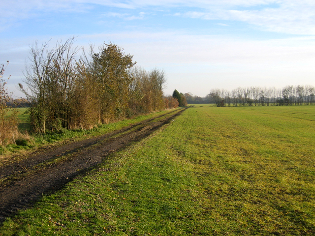
The grove is home to a diverse range of trees, including oak, beech, and birch, which create a stunning canopy of foliage. The forest floor is adorned with a carpet of moss, ferns, and wildflowers, adding to the enchanting atmosphere of the grove. The tranquil ambiance and lush surroundings make it an ideal spot for picnicking, photography, and simply enjoying nature.

One of the notable features of Icehouse Grove is its historical significance. The name "Icehouse" is derived from the presence of an ancient icehouse that was used for storing ice during the 17th and 18th centuries. This icehouse was built to supply the nearby estate with ice for cooling food and drinks. Although the icehouse itself is no longer intact, its remnants and the stories surrounding it add an air of mystery and intrigue to the grove.

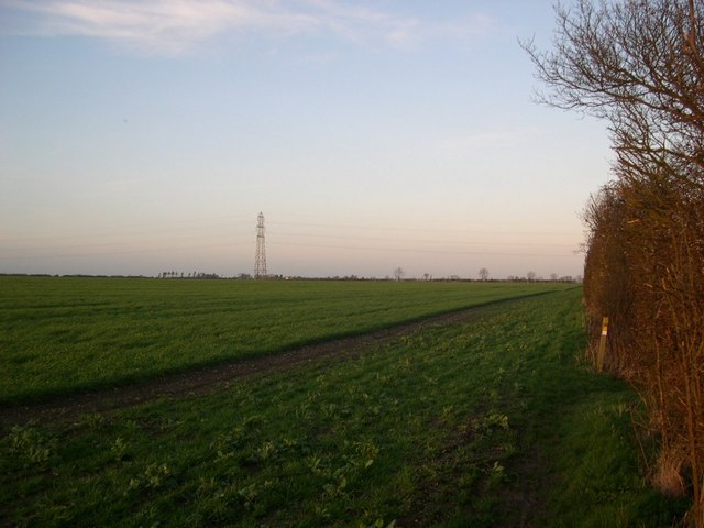
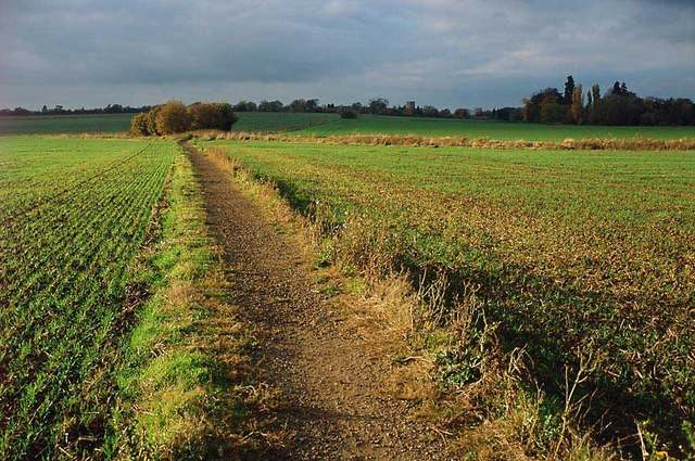
Icehouse Grove offers a network of well-maintained trails, enabling visitors to explore the forest at their own pace. The paths wind through the trees, leading to hidden glades and clearings, where wildlife such as deer, foxes, and various species of birds can often be spotted.

Overall, Icehouse Grove is a captivating woodland retreat that offers a blend of natural beauty and historical significance, making it a must-visit destination for those seeking solace in nature or looking to dive into the past.

If you have any feedback on the listing, please let us know in the comments section below.

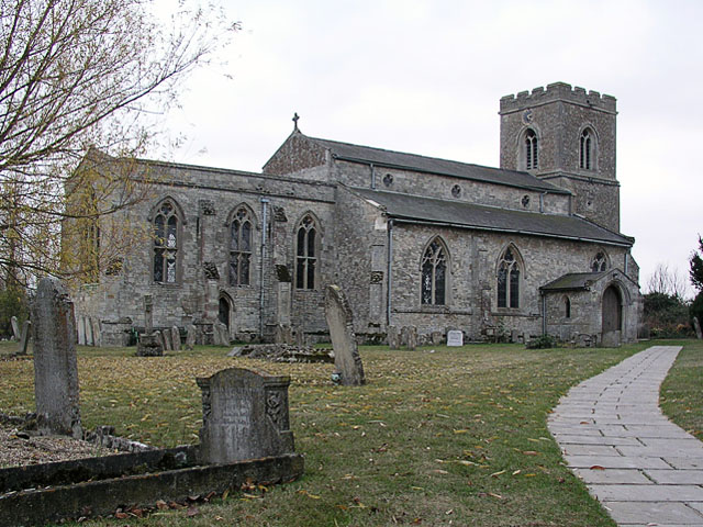
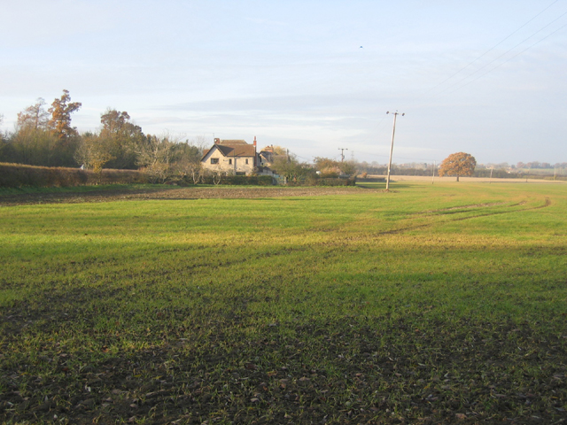
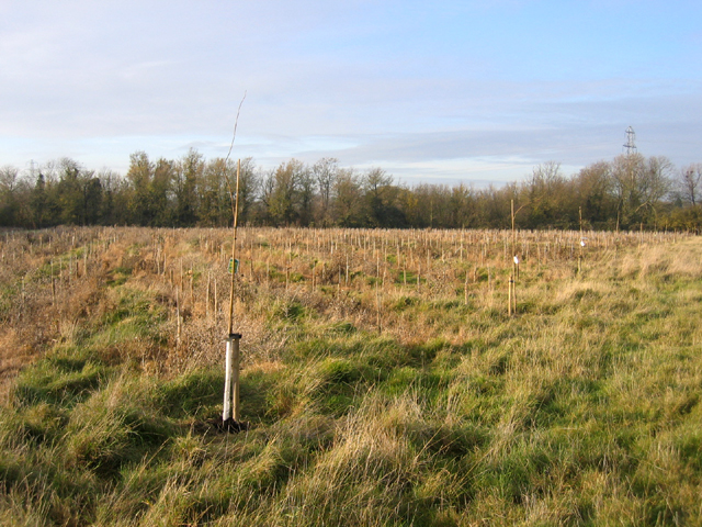
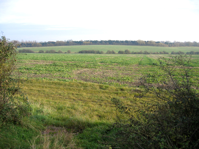
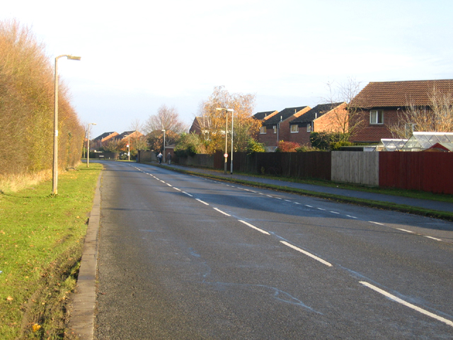
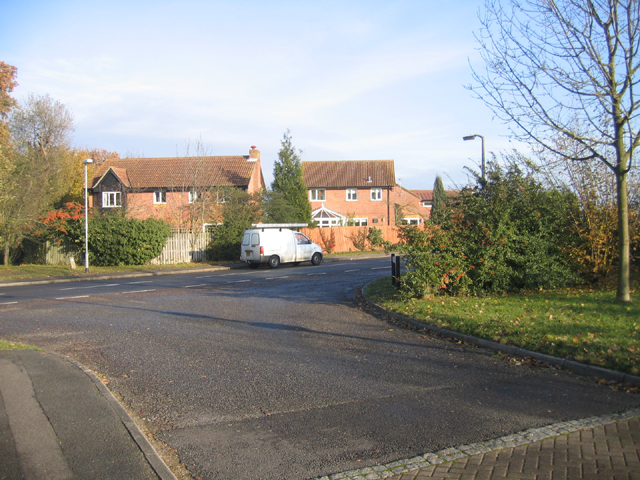
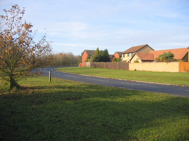
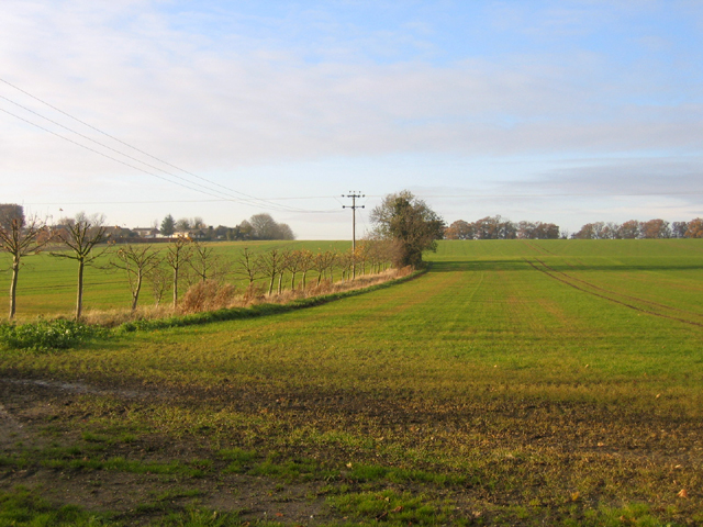
Icehouse Grove Images

Images are sourced within 2km of 52.241748/0.014379268 or Grid Reference TL3762. Thanks to Geograph Open Source API. All images are credited.

Dry Drayton, SS Peter and Paul <span class="nowrap"><a title="http://www.druidic.org/camchurch/churches/drydrayton.htm" rel="nofollow ugc noopener" href="http://www.druidic.org/camchurch/churches/drydrayton.htm">Link</a><img style="margin-left:2px;" alt="External link" title="External link - shift click to open in new window" src="https://s1.geograph.org.uk/img/external.png" width="10" height="10"/></span>
Dry Drayton, SS Peter and Paul
Farmland and cottages, Madingley, Cambs – view NW, from the bridlepath, of New Farm and cottages on the Dry Drayton Road.
Farmland and cottages, Madingley, Cambs
– view NW, from the bridlepath, of New Farm and cottages on the Dry Drayton Road.
New plantation, Dry Drayton, Cambs – in neat rows, just north of Madingley Road.
New plantation, Dry Drayton, Cambs
– in neat rows, just north of Madingley Road.
Callow Brook valley, Dry Drayton, Cambs – view E across the northern edge of the square from Scotland Road.
Callow Brook valley, Dry Drayton, Cambs
– view E across the northern edge of the square from Scotland Road.
Saxon Way, Bar Hill, Cambs Saxon Way skirts the western part of the settlement, just south of the A14 road; the belt of trees (left) separates the housing estates from the open countryside and village of Lolworth.
Saxon Way, Bar Hill, Cambs
Saxon Way skirts the western part of the settlement, just south of the A14 road; the belt of trees (left) separates the housing estates from the open countryside and village of Lolworth.
Crafts Way, Bar Hill, Cambs View N of Crafts Hill and the perimeter road from Thruffle Way.
Crafts Way, Bar Hill, Cambs
View N of Crafts Hill and the perimeter road from Thruffle Way.
Saxon Way, Bar Hill, Cambs – view of the perimeter road at the southern end of the village.
Saxon Way, Bar Hill, Cambs
– view of the perimeter road at the southern end of the village.
Farmland, Dry Drayton, Cambs – view NW towards the centre of the square from the Oakington Road.
Farmland, Dry Drayton, Cambs
– view NW towards the centre of the square from the Oakington Road.
Farm track and farmland, Dry Drayton, Cambs – view SE of Dry Drayton Estate farmland from the Oakington Road.
Farm track and farmland, Dry Drayton, Cambs
– view SE of Dry Drayton Estate farmland from the Oakington Road.
The Links trading estate, Bar Hill, Cambs Bar Hill is a compact, modern, planned village founded in 1967; the Links is in the SE corner of the square adjacent to the A14 road.
The Links trading estate, Bar Hill, Cambs
Bar Hill is a compact, modern, planned village founded in 1967; the Links is in the SE corner of the square adjacent to the A14 road.
Line of the Greenwich Meridian The Greenwich Meridian intersects the bend in the footpath marked by the yellow tipped sign and passes directly under the central electricity pylon. This view is true north (and not grid north!).
Line of the Greenwich Meridian
The Greenwich Meridian intersects the bend in the footpath marked by the yellow tipped sign and passes directly under the central electricity pylon. This view is true north (and not grid north!).
Footpath and field boundary Quiet and unremarkable Cambridgeshire agricultural land.
Footpath and field boundary
Quiet and unremarkable Cambridgeshire agricultural land.
Hall Farm:  Meridian Zero The Greenwich Meridian passes through Hall Farm, the first prominent building in Lolworth as you approach along the track from Childerley.
Hall Farm: Meridian Zero
The Greenwich Meridian passes through Hall Farm, the first prominent building in Lolworth as you approach along the track from Childerley.
Footpath to nowhere The 1:25,000 OS map shows this footpath petering out as it approaches Boxworth. It is the only right of way in TL3563 and apparently come to a dead end.
Footpath to nowhere
The 1:25,000 OS map shows this footpath petering out as it approaches Boxworth. It is the only right of way in TL3563 and apparently come to a dead end.
Lolworth village The village hall is on the left and the wheelie bins show it's waste collection day.
Lolworth village
The village hall is on the left and the wheelie bins show it's waste collection day.
Children's recreation area A small plot at end of village with some play equipment.
Children's recreation area
A small plot at end of village with some play equipment.
Lolworth village hall The hall bears plaques for "Best kept village" awards.
Lolworth village hall
The hall bears plaques for "Best kept village" awards.
Footpath to Lolworth from Bar Hill This surfaced path provides good walking even in the wettest of winters when fields are waterlogged.
Footpath to Lolworth from Bar Hill
This surfaced path provides good walking even in the wettest of winters when fields are waterlogged.
Show me another place!

Icehouse Grove is located at Grid Ref: TL3762 (Lat: 52.241748, Lng: 0.014379268)

Administrative County: Cambridgeshire

District: South Cambridgeshire

Police Authority: Cambridgeshire

What 3 Words

///lime.uncouth.conclude. Near Bar Hill, Cambridgeshire

Related Wikis

Dry Drayton

Dry Drayton is a village and civil parish about 5 miles (8 km) northwest of Cambridge in Cambridgeshire, England, listed as Draitone in the Domesday Book...

Bar Hill

Bar Hill is a purpose-built village with a population of 4,000 about 4 miles (7 km) northwest of Cambridge, England on the A14 road, just east of the Prime...

Lolworth

Lolworth is a small village and civil parish in the district of South Cambridgeshire, in the county of Cambridgeshire, England, located approximately 8...

Childerley

Childerley, also known as Great Childerley and Little Childerly, was a small rural village in the county of Cambridgeshire in the East of England, United...

University of Cambridge Institute of Continuing Education

The University of Cambridge Institute of Continuing Education (ICE) is a department of the University of Cambridge dedicated to providing continuing education...

Madingley

Madingley is a small village near Cambridge, England. It is located close to the nearby villages of Coton and Dry Drayton on the western outskirts of Cambridge...

Hardwick, Cambridgeshire

Hardwick is a village and civil parish in the county of Cambridgeshire, England with a large housing estate located about 6 miles (9.7 km) west of the...

Boxworth

Boxworth is a village in South Cambridgeshire, situated about eight miles to the north-west of Cambridge. It falls under the Papworth Everard and Caxton...

Nearby Amenities

Located within 500m of 52.241748,0.014379268
Mini Roundabout
Direction: clockwise
Lat/Long: 52.2398382/0.0179936
Turning Circle
Source: survey
Lat/Long: 52.2413047/0.0195887
Dry Drayton
Is In: Cambridgeshire, England, UK
Place: village
Population: 590
Source Name: local knowledge
Source Population: http://www.scambs.gov.uk/CommunityandLiving/VillageServicesAndAmenities/
Wikidata: Q4537989
Lat/Long: 52.2416457/0.0201642
Post Box
Collection Times: Mo-Fr 09:00; Sa 07:00
Operator: Royal Mail
Operator Wikidata: Q638098
Post Box Type: pillar
Ref: CB3 293
Royal Cypher: EIIR
Royal Cypher Wikidata: Q33102113
Source: survey
Lat/Long: 52.2406658/0.0182348
Historic: yes
Man Made: water_well
Pump: manual
Source: survey
Lat/Long: 52.2411707/0.0186243
Bus Stop
High Street
Bus Stop: shelter
Naptan AtcoCode: 0500SDRYD007
Naptan Bearing: E
Naptan CommonName: High Street
Naptan Indicator: near
Naptan Landmark: High Street
Naptan NaptanCode: cmbdwdgd
Naptan PlusbusZoneRef: CAMBDGE
Naptan Street: Park Street
Naptan Verified: no
Shelter: yes
Source: naptan_import
Lat/Long: 52.239866/0.0183932
Bus Stop
High Street
Naptan AtcoCode: 0500SDRYD008
Naptan Bearing: W
Naptan BusStopType: CUS
Naptan CommonName: High Street
Naptan Indicator: opp
Naptan Landmark: High Street
Naptan NaptanCode: cmbdwdgj
Naptan PlusbusZoneRef: CAMBDGE
Naptan Street: Park Street
Naptan Verified: no
Note: No flag; no post
Source: naptan_import
Lat/Long: 52.2397248/0.0182643
Power: pole
Lat/Long: 52.2416128/0.0209871
Barrier: cycle_barrier
Lat/Long: 52.2454113/0.0180521
Barrier: kissing_gate
Lat/Long: 52.2408171/0.0209773
Turning Circle
Lat/Long: 52.243525/0.0197368
Barrier: cycle_barrier
Cycle Barrier: single
Wheelchair Description: Barriers towards Bar Hill are much narrower and probably inaccessible for most wheelchair users..
Lat/Long: 52.2434669/0.018604
Barrier: cycle_barrier
Cycle Barrier: single
Wheelchair: no
Lat/Long: 52.2454153/0.0181293
Bench
Backrest: yes
Material: wood
Seats: 6
Lat/Long: 52.2387453/0.0198176
Bench
Backrest: yes
Material: wood
Seats: 2
Lat/Long: 52.2385014/0.0191122
Bench
Backrest: yes
Inscription: Bar Hill Nature Reserve Donated by Domino Printing Sciences Plc 1993
Material: metal
Openbenches Id: 20508
Lat/Long: 52.245622/0.0177124
Bench
Backrest: yes
Lat/Long: 52.2393426/0.0201513
Barrier: bollard
Lat/Long: 52.2398589/0.018638
Bench
Backrest: yes
Inscription: In loving memory of our dear grandad Gordon Teversham who loved to sit here with his faithful companion Abbey by his side watching the world go by Love always Emma, Joshua, Mandy, Paul & Georgia X X X X X
Material: metal
Openbenches Id: 20507
Lat/Long: 52.2399773/0.0177444
Advertising: board
Board Type: notice
Information: board
Tourism: information
Lat/Long: 52.2406512/0.0182319
Fixme: Survey for panel type
Generator Method: photovoltaic
Generator Output Electricity: yes
Generator Source: solar
Generator Type: solar_photovoltaic_panel
Location: roof
Power: generator
Lat/Long: 52.2422876/0.0182055
Fixme: Survey for panel type
Generator Method: photovoltaic
Generator Output Electricity: yes
Generator Source: solar
Generator Type: solar_photovoltaic_panel
Location: roof
Power: generator
Lat/Long: 52.2410521/0.0187768
Fixme: Survey for panel type
Generator Method: photovoltaic
Generator Output Electricity: yes
Generator Source: solar
Generator Type: solar_photovoltaic_panel
Location: roof
Power: generator
Lat/Long: 52.2414606/0.018286
Fixme: Survey for panel type
Generator Method: photovoltaic
Generator Output Electricity: yes
Generator Source: solar
Generator Type: solar_photovoltaic_panel
Location: roof
Power: generator
Lat/Long: 52.2398519/0.0170032
Fixme: Survey for panel type
Generator Method: photovoltaic
Generator Output Electricity: yes
Generator Source: solar
Generator Type: solar_photovoltaic_panel
Location: roof
Power: generator
Lat/Long: 52.2381346/0.0136887
Fixme: Survey for panel type
Generator Method: photovoltaic
Generator Output Electricity: yes
Generator Source: solar
Generator Type: solar_photovoltaic_panel
Location: roof
Power: generator
Lat/Long: 52.2406041/0.0186132
Fixme: Survey for panel type
Generator Method: photovoltaic
Generator Output Electricity: yes
Generator Source: solar
Generator Type: solar_photovoltaic_panel
Location: roof
Power: generator
Lat/Long: 52.2405606/0.0189176
Fixme: Survey for panel type
Generator Method: photovoltaic
Generator Output Electricity: yes
Generator Source: solar
Generator Type: solar_photovoltaic_panel
Location: roof
Power: generator
Lat/Long: 52.24252/0.0192247
Fixme: Survey for panel type
Generator Method: photovoltaic
Generator Output Electricity: yes
Generator Source: solar
Generator Type: solar_photovoltaic_panel
Location: roof
Power: generator
Lat/Long: 52.2422161/0.0207053
Entrance: main
Lat/Long: 52.2417086/0.0182836
Information: guidepost
Tourism: information
Lat/Long: 52.238984/0.0197987
Bench
Lat/Long: 52.2390553/0.020126
Information: guidepost
Tourism: information
Lat/Long: 52.2410843/0.0185193
Information: guidepost
Tourism: information
Lat/Long: 52.2397107/0.0199398
Information: route_marker
Tourism: information
Lat/Long: 52.2405754/0.0209031
Information: guidepost
Tourism: information
Lat/Long: 52.2382952/0.0151706
Information: route_marker
Tourism: information
Lat/Long: 52.2391816/0.0120492
Information: route_marker
Tourism: information
Lat/Long: 52.239157/0.012165
Information: route_marker
Tourism: information
Lat/Long: 52.2391353/0.0086334
Information: route_marker
Tourism: information
Lat/Long: 52.2390906/0.0087021
The data included in this document is from www.openstreetmap.org. The data is made available under ODbL.

Have you been to Icehouse Grove?

Leave your review of Icehouse Grove below (or comments, questions and feedback).