Joe's Wood
Wood, Forest in Nottinghamshire Gedling
England
Joe's Wood
Joe's Wood is a picturesque forest located in Nottinghamshire, England. Spanning over several acres, this woodland area is known for its natural beauty, diverse flora and fauna, and tranquil environment.
The forest is named after Joe, a local resident who dedicated his life to preserving the wood and its ecosystem. It is situated on the outskirts of a small village, making it easily accessible to visitors from both nearby towns and the wider region.
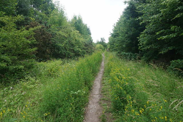
The wood features an impressive array of tree species, including oak, birch, beech, and ash. These towering trees provide a dense canopy that filters the sunlight, creating a pleasant dappled effect on the forest floor. This rich habitat supports a wide variety of wildlife, including deer, foxes, badgers, and numerous bird species. Birdwatchers are particularly drawn to Joe's Wood for its diverse avian population.
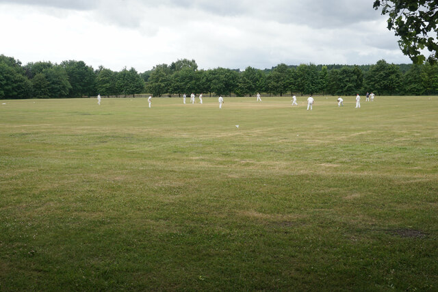
Visitors to Joe's Wood can enjoy a range of activities, including walking, hiking, and picnicking. There are well-maintained trails that wind through the forest, offering scenic views and opportunities to observe the local flora and fauna. The wood is also a popular spot for nature photography, with its picturesque landscapes and abundant wildlife.
In addition to its natural beauty, Joe's Wood plays an important role in the local ecosystem. It acts as a carbon sink, absorbing and storing carbon dioxide, and contributes to the overall health and biodiversity of the area.
Overall, Joe's Wood is a cherished natural gem in Nottinghamshire, offering visitors a chance to immerse themselves in the tranquility and beauty of a well-preserved woodland.
If you have any feedback on the listing, please let us know in the comments section below.
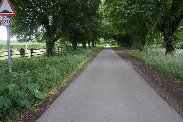
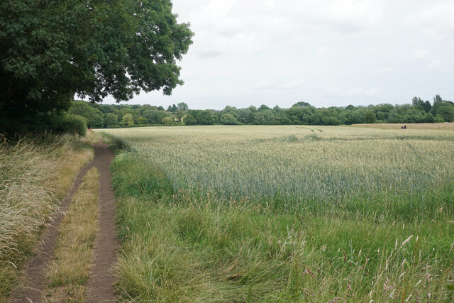
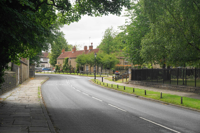
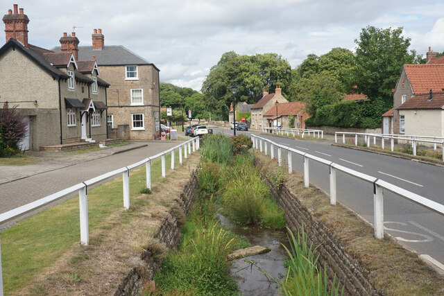
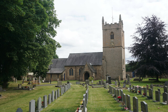
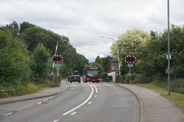
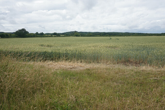
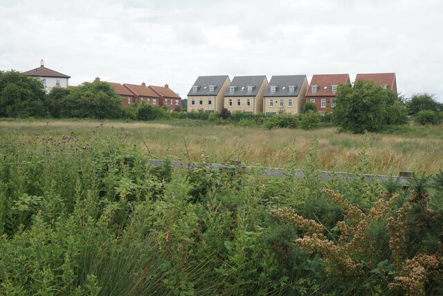
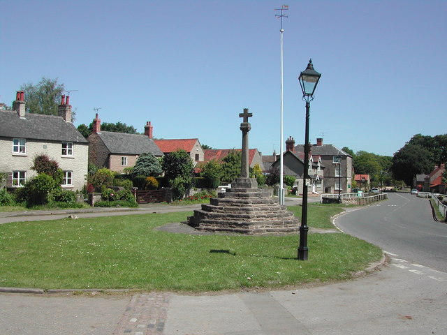
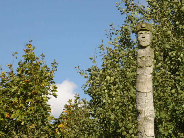
Joe's Wood Images
Images are sourced within 2km of 53.056138/-1.2205003 or Grid Reference SK5251. Thanks to Geograph Open Source API. All images are credited.


Joe's Wood is located at Grid Ref: SK5251 (Lat: 53.056138, Lng: -1.2205003)
Administrative County: Nottinghamshire
District: Gedling
Police Authority: Nottinghamshire
What 3 Words
///prompt.leafing.evolution. Near Hucknall, Nottinghamshire
Nearby Locations
Related Wikis

Misk Hills
The Misk Hills consist of a gently undulating sandstone plateau between Hucknall and Annesley in the county of Nottinghamshire in the North East Midlands...

Linby railway station
Linby railway station was a station on what is now the Robin Hood Line. It was used predominantly to serve Linby Colliery. It shut in 1964. When the line...

Linby (Great Northern Railway) railway station
Linby (Great Northern Railway) was a railway station on the Great Northern Railway's Nottingham to Shirebrook line. == History == == Present day == No...
The National Academy
The National Church of England Academy, formerly known as The National School, is a Church of England secondary school in the Ashfield district of Nottinghamshire...
Linby
Linby is a small village and civil parish in Nottinghamshire, England. The nearest town is Hucknall which is immediately to the south-west. The village...

Hidden Valleys
Hidden Valleys is a name, coined in 2004, used to describe an area of interesting historical and scenic value between the city of Nottingham and the town...
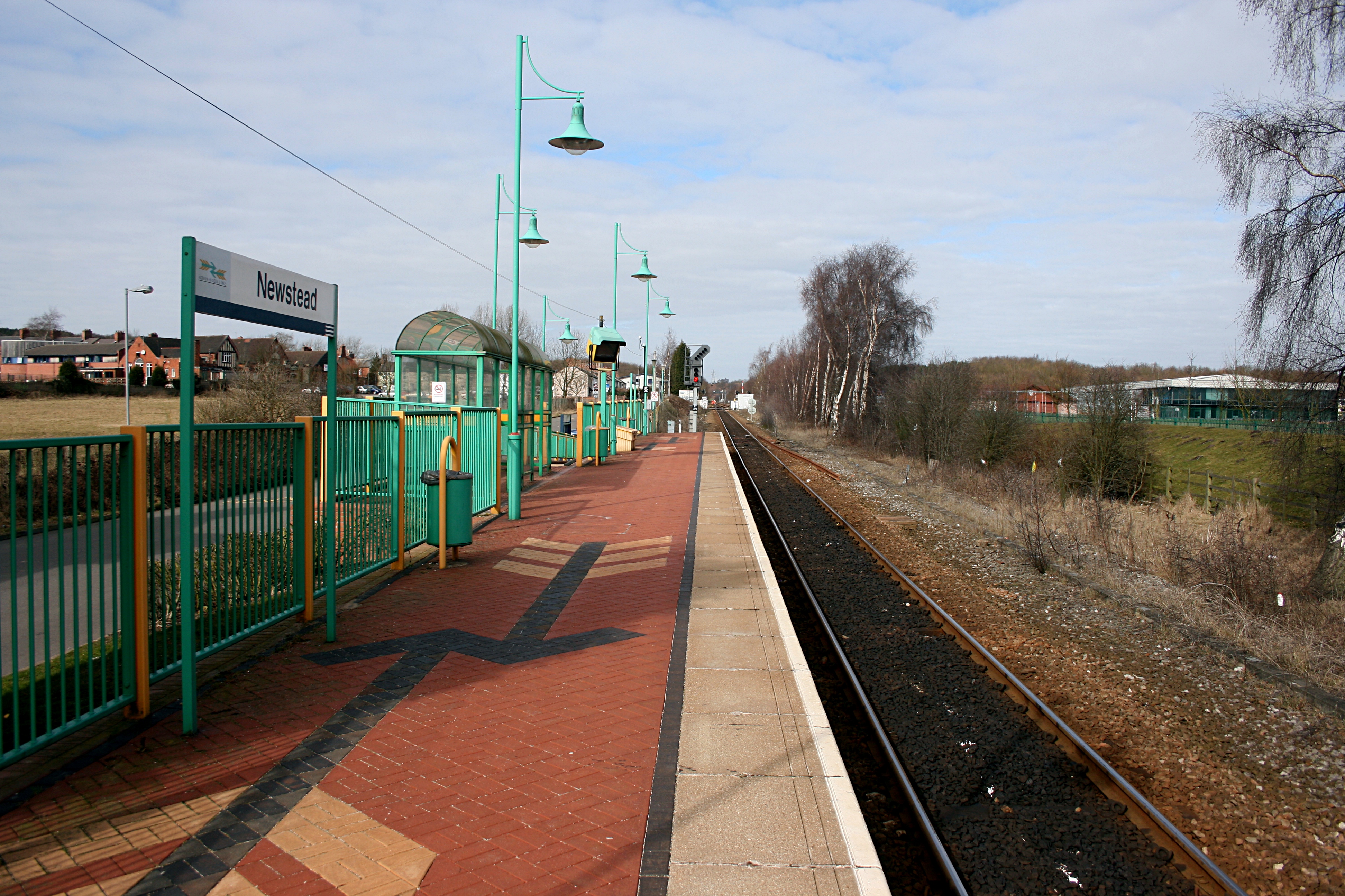
Newstead railway station
Newstead railway station serves the village of Newstead in Nottinghamshire, England. Newstead was the original terminus of the Robin Hood Line when it...
Newstead, Nottinghamshire
Newstead is a village and civil parish in Nottinghamshire, England in the borough of Gedling. It is situated between the city of Nottingham and the towns...
Nearby Amenities
Located within 500m of 53.056138,-1.2205003Have you been to Joe's Wood?
Leave your review of Joe's Wood below (or comments, questions and feedback).