Aldercar Wood
Wood, Forest in Nottinghamshire Gedling
England
Aldercar Wood
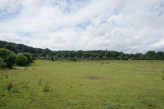
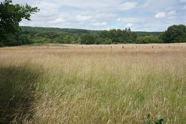
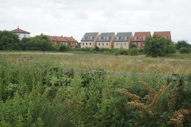
Aldercar Wood is a beautiful woodland located in Nottinghamshire, England. Covering an area of approximately 100 acres, it is a designated Site of Special Scientific Interest (SSSI) due to its ecological importance and diverse range of flora and fauna.
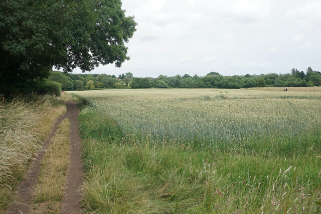
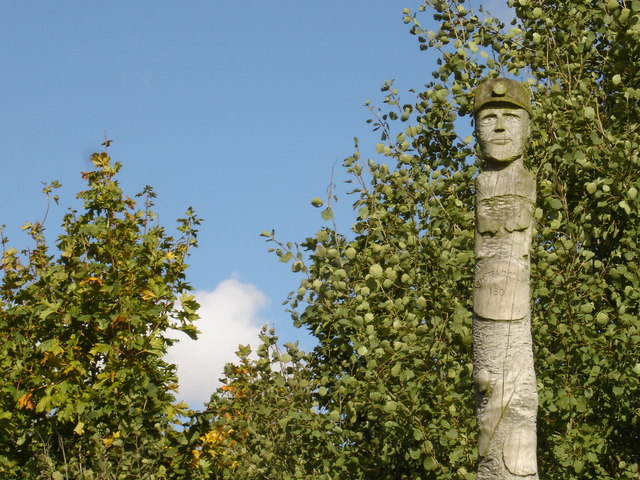
The wood is predominantly composed of mixed deciduous trees, including oak, ash, birch, and beech. These trees create a dense canopy, providing a habitat for a variety of wildlife species. The wood is also home to several rare plant species, such as the wood anemone and bluebell, which create a stunning display of color during the spring.
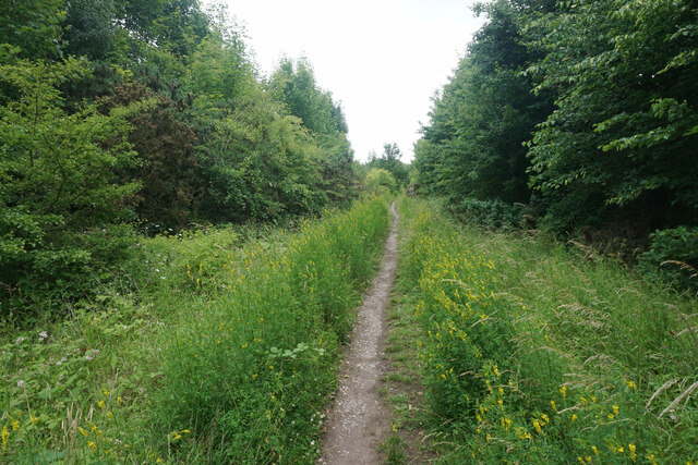
There are several well-maintained walking trails that wind through the wood, allowing visitors to explore its natural beauty and discover its hidden treasures. The trails are suitable for all ages and abilities, with some paths being wheelchair-accessible.
Aldercar Wood is a popular destination for nature lovers, birdwatchers, and photographers. It offers excellent opportunities to observe and capture images of a wide range of bird species, including woodpeckers, nuthatches, and jays. The wood is also a haven for small mammals, such as badgers, foxes, and squirrels.
Managed by the local council, Aldercar Wood has been carefully conserved and protected to ensure its long-term sustainability. Regular conservation work takes place to maintain the delicate balance of the ecosystem and enhance its biodiversity.
Overall, Aldercar Wood is a precious natural resource in Nottinghamshire, providing a tranquil escape from the hustle and bustle of everyday life, as well as an invaluable habitat for a diverse range of plant and animal life.
If you have any feedback on the listing, please let us know in the comments section below.
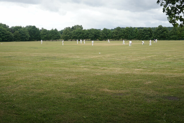
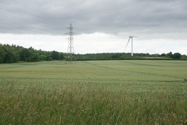
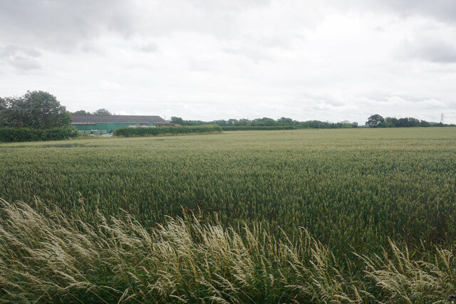
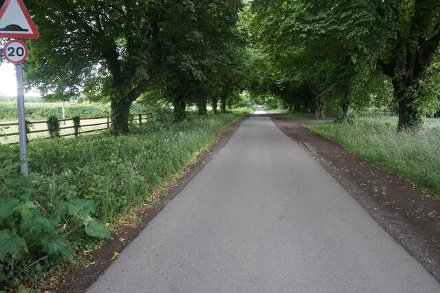
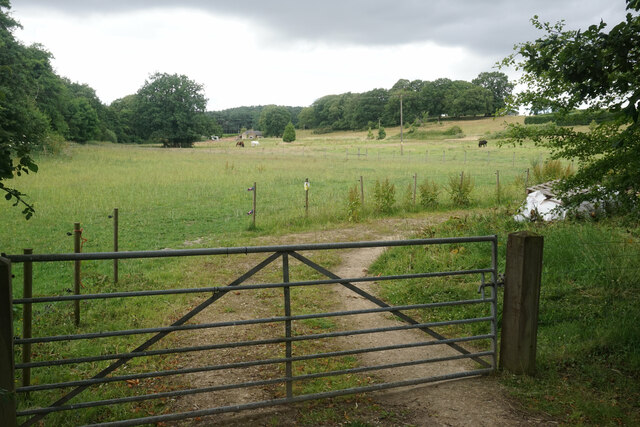
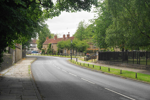
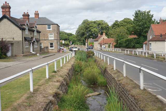
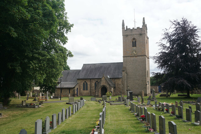
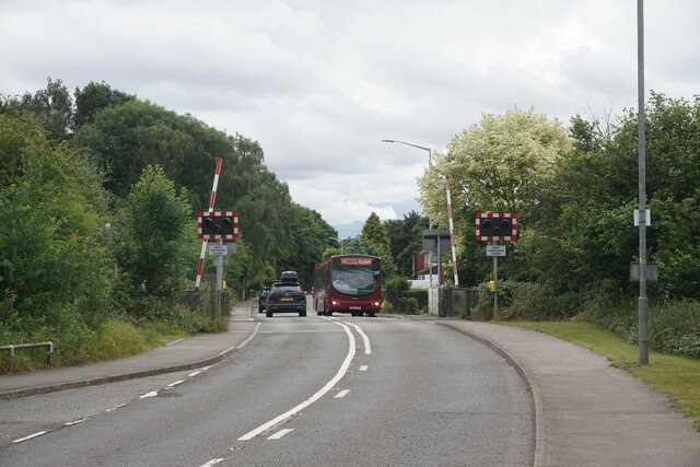
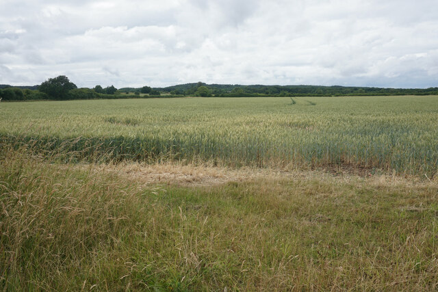
Aldercar Wood Images
Images are sourced within 2km of 53.06129/-1.2220935 or Grid Reference SK5251. Thanks to Geograph Open Source API. All images are credited.
Aldercar Wood is located at Grid Ref: SK5251 (Lat: 53.06129, Lng: -1.2220935)
Administrative County: Nottinghamshire
District: Gedling
Police Authority: Nottinghamshire
What 3 Words
///hardens.revealing.protest. Near Hucknall, Nottinghamshire
Nearby Locations
Related Wikis

Misk Hills
The Misk Hills consist of a gently undulating sandstone plateau between Hucknall and Annesley in the county of Nottinghamshire in the North East Midlands...
Newstead, Nottinghamshire
Newstead is a village and civil parish in Nottinghamshire, England in the borough of Gedling. It is situated between the city of Nottingham and the towns...
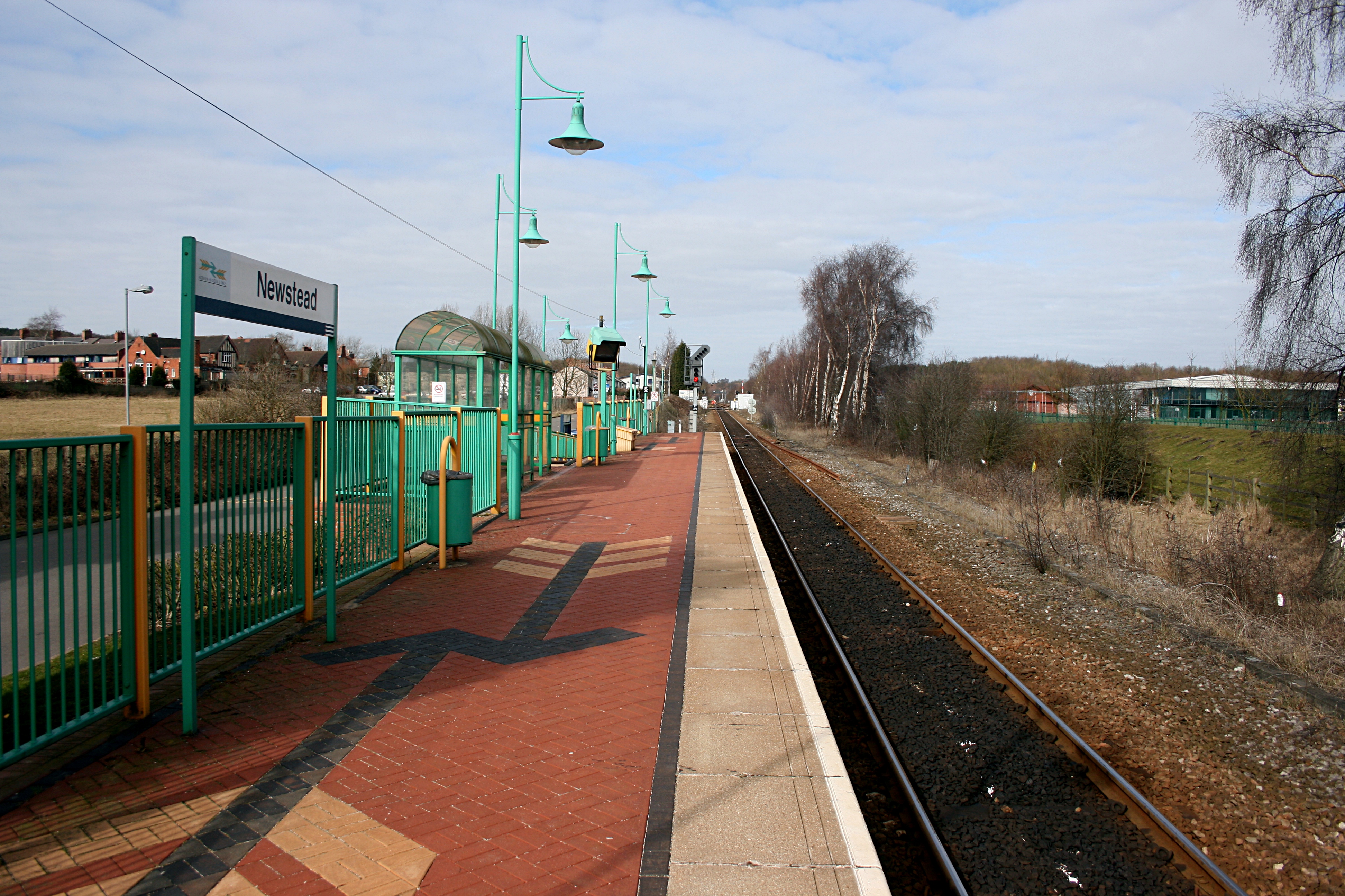
Newstead railway station
Newstead railway station serves the village of Newstead in Nottinghamshire, England. Newstead was the original terminus of the Robin Hood Line when it...

Annesley South Junction Halt railway station
Annesley South Junction Halt is a former halt on the Great Central Railway on the section between Nottingham Victoria and Sheffield Victoria. The halt...

Newstead and Annesley railway station
Newstead and Annesley railway station was a station on the Great Northern Railway's Nottingham to Shirebrook line. == History == == Present day == No trace...

Linby (Great Northern Railway) railway station
Linby (Great Northern Railway) was a railway station on the Great Northern Railway's Nottingham to Shirebrook line. == History == == Present day == No...
Linby railway station
Linby railway station was a station on what is now the Robin Hood Line. It was used predominantly to serve Linby Colliery. It shut in 1964. When the line...
Linby
Linby is a small village and civil parish in Nottinghamshire, England. The nearest town is Hucknall which is immediately to the south-west. The village...
Nearby Amenities
Located within 500m of 53.06129,-1.2220935Have you been to Aldercar Wood?
Leave your review of Aldercar Wood below (or comments, questions and feedback).