Seller's Wood
Wood, Forest in Nottinghamshire Broxtowe
England
Seller's Wood

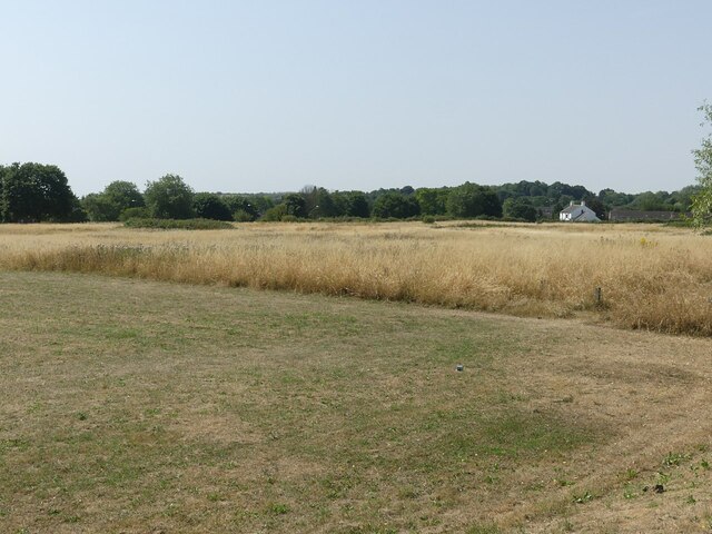
Seller's Wood is a picturesque woodland located in Nottinghamshire, England. Covering an area of approximately 100 acres, it is situated near the village of Blidworth and is a popular destination for nature enthusiasts and outdoor enthusiasts alike. The woodland is part of Sherwood Forest, which is famous for its association with the legendary outlaw Robin Hood.
Seller's Wood is characterized by its dense canopy of ancient oak trees, which provide a habitat for a diverse range of flora and fauna. The woodland floor is adorned with a carpet of bluebells in the spring, creating a stunning display of colors. In addition to oaks, the wood is also home to other tree species such as birch, beech, and hazel.
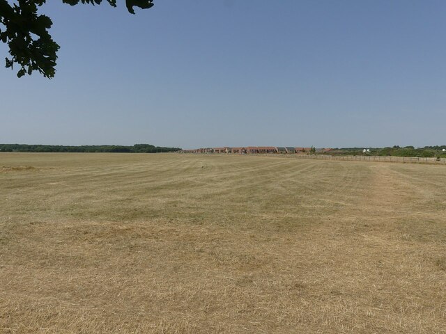
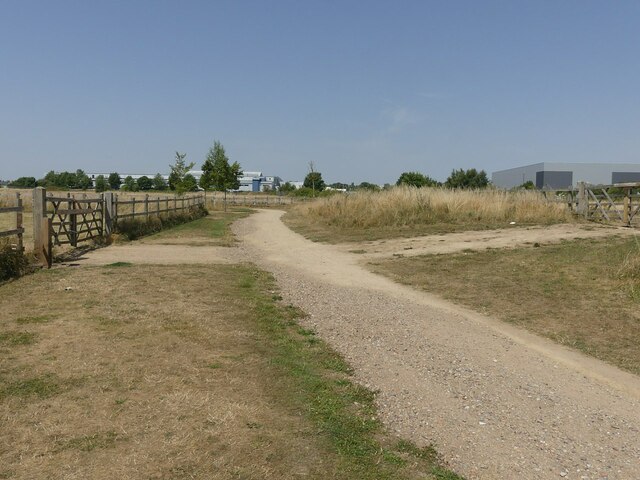
The wood is crisscrossed by a network of footpaths and trails, making it easily accessible for walkers and hikers. Visitors can explore the woodland at their own pace, enjoying the peaceful atmosphere and immersing themselves in nature. Birdwatchers will also be delighted to know that Seller's Wood is home to various species of birds, including woodpeckers, nuthatches, and tawny owls.
Seller's Wood offers a tranquil escape from the hustle and bustle of daily life, providing a serene environment for relaxation and exploration. It is a haven for wildlife and a place where visitors can reconnect with nature. Whether it's taking a leisurely stroll or embarking on a more adventurous hike, Seller's Wood is a must-visit destination for nature lovers in Nottinghamshire.
If you have any feedback on the listing, please let us know in the comments section below.
Seller's Wood Images
Images are sourced within 2km of 53.003945/-1.223184 or Grid Reference SK5245. Thanks to Geograph Open Source API. All images are credited.


Seller's Wood is located at Grid Ref: SK5245 (Lat: 53.003945, Lng: -1.223184)
Administrative County: Nottinghamshire
District: Broxtowe
Police Authority: Nottinghamshire
What 3 Words
///awake.gates.stud. Near Hucknall, Nottinghamshire
Nearby Locations
Related Wikis

Seller's Wood
Seller's Wood is a Site of Special Scientific Interest on the northern outskirts of Nottingham, England. There are several wildlife ponds within the site...
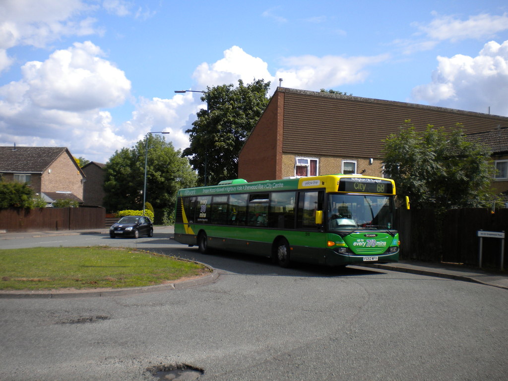
Snape Wood
Snape Wood is a council estate located in Bulwell Ward at the City of Nottingham. The estate is located 4.4 miles (7 km) from the City Centre, and lies...
Hempshill Hall Primary School
The Hempshill Hall Primary School is a primary school in Bulwell, Nottingham that is situated within, and serves, the surrounding estate of Hempshill...

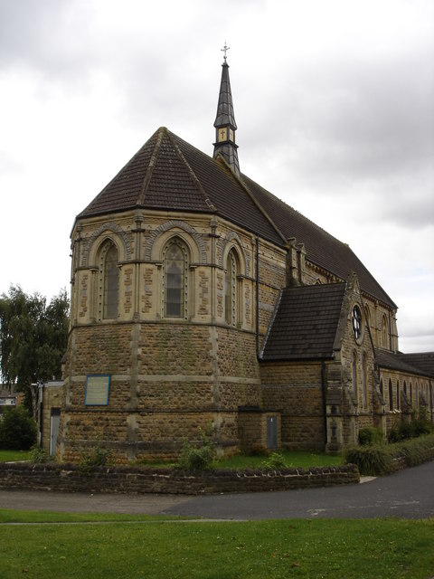
St Patrick's Church, Nuthall
St Patrick's Church, Nuthall is a Grade II* listed parish church in the Church of England in Nuthall. == History == The church was first built in the 13th...
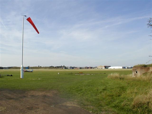
Hucknall Aerodrome
Hucknall Aerodrome (ICAO: EGNA) was a former general aviation and RAF aerodrome located 5 nmi (9.3 km; 5.8 mi) north north-west of Nottingham, Nottinghamshire...
Nuthall
Nuthall is a village and civil parish located in Nottinghamshire, England, neighbouring Kimberley, Watnall, Cinderhill and Basford. The population of the...
No. 16 (Polish) Flying Training School RAF
No. 16 (Polish) Flying Training School RAF (16 (P) FTS) is a former Royal Air Force flying training school that operated between 1940 and 1946. == History... ==
Church of St John the Divine, Bulwell
The Church of St John the Divine, Bulwell is a parish church in the Church of England. The church is Grade II listed by the Department for Digital, Culture...
Nearby Amenities
Located within 500m of 53.003945,-1.223184Have you been to Seller's Wood?
Leave your review of Seller's Wood below (or comments, questions and feedback).