Scotland Plantation

Wood, Forest in Nottinghamshire Rushcliffe

England

Scotland Plantation

Main Street - West Leake
Main Street - West Leake Credit: Dave Thompson

Scotland Plantation is a woodland area located in Nottinghamshire, England. Situated in the heart of Sherwood Forest, this plantation spans over a vast area, with its boundaries stretching across several villages, including Edwinstowe and Ollerton. The plantation is rich in natural beauty and is known for its diverse range of plant and animal species.

Covering an estimated area of 400 hectares, Scotland Plantation is predominantly characterized by dense woodlands, consisting of various tree species such as oak, pine, birch, and beech. The plantation's lush vegetation provides a habitat for numerous wildlife species, including deer, squirrels, foxes, and a wide array of bird species, making it a popular spot for nature enthusiasts and birdwatchers.

The plantation is also home to several walking trails and cycle paths, making it an ideal destination for outdoor activities and leisurely strolls. The well-maintained paths wind through the woodland, offering visitors the chance to immerse themselves in the tranquility and natural beauty of the forest.

Scotland Plantation holds historical significance as well, with links to the legendary figure of Robin Hood. It is believed that Sherwood Forest, including Scotland Plantation, was once a hideout for the famous outlaw and his band of Merry Men.

Overall, Scotland Plantation in Nottinghamshire is a captivating woodland area that offers a unique opportunity to explore nature, wildlife, and history. With its breathtaking landscapes and abundant wildlife, it continues to be a cherished destination for locals and tourists alike.

If you have any feedback on the listing, please let us know in the comments section below.

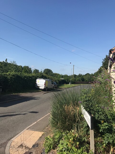
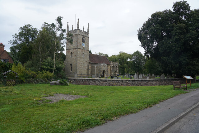
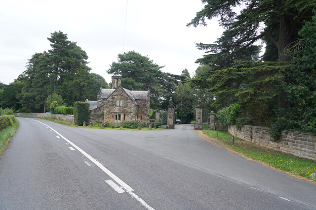
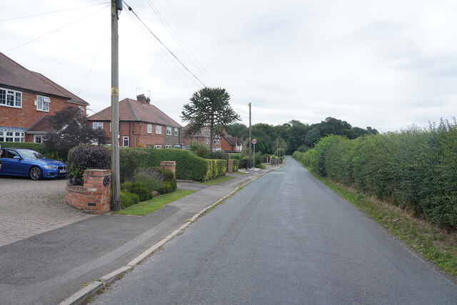
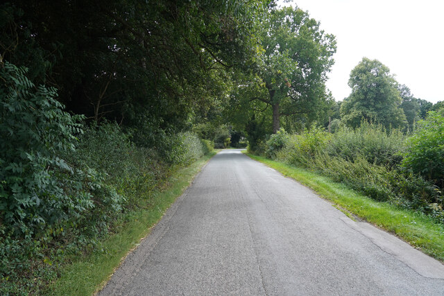
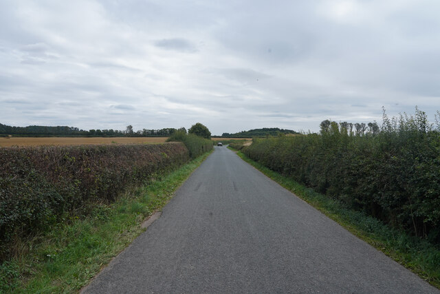
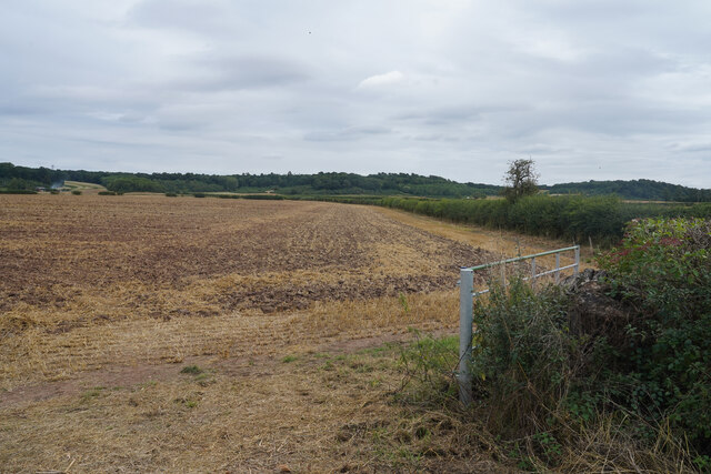
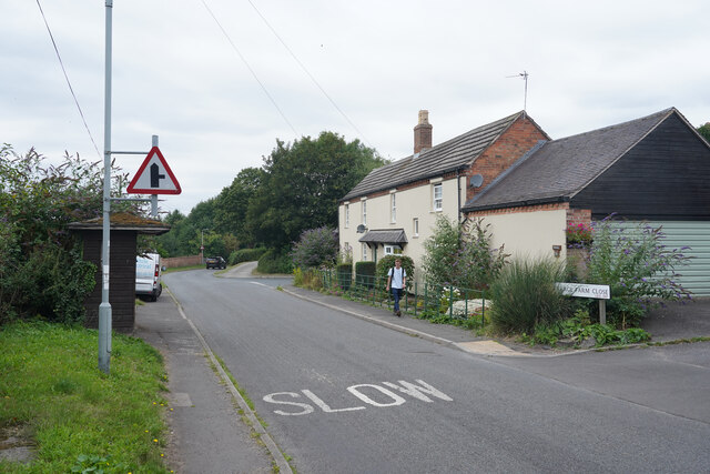
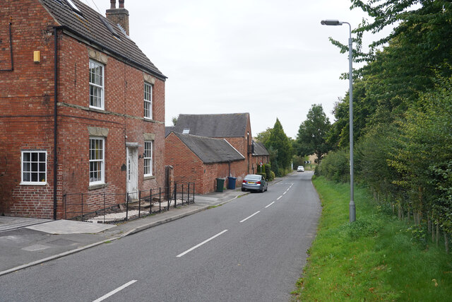
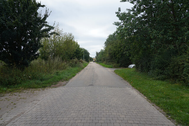
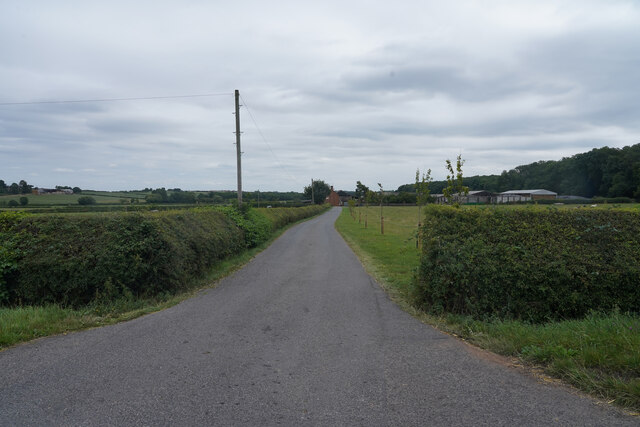
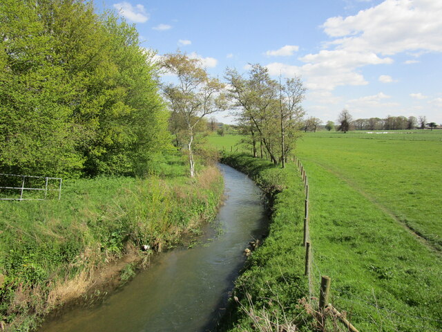
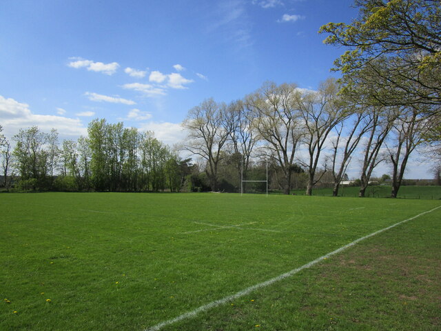
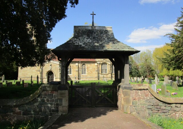
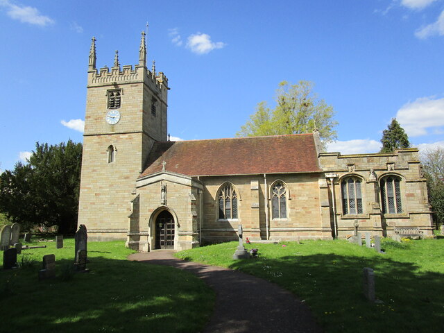
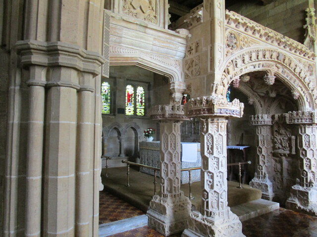
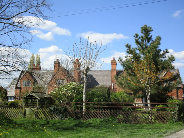
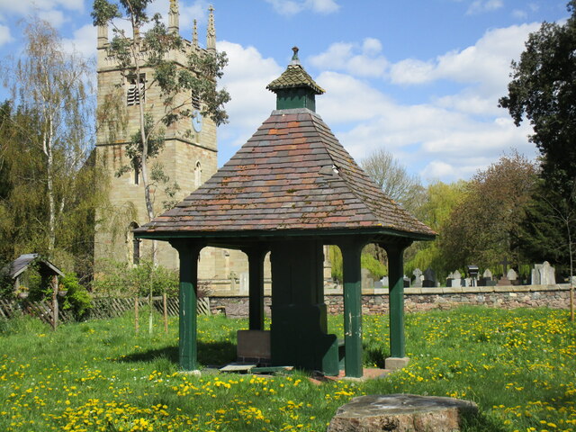
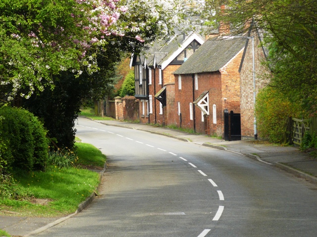
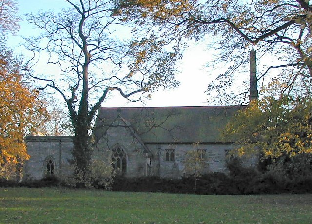
Scotland Plantation Images

Images are sourced within 2km of 52.837549/-1.2313957 or Grid Reference SK5126. Thanks to Geograph Open Source API. All images are credited.

Main Street - West Leake
St. Winifred's Church This is the parish church of Kingston on Soar, which is a tiny village around a three way road junction.
St. Winifred's Church
This is the parish church of Kingston on Soar, which is a tiny village around a three way road junction.
The Lodge This is Gotham Road with the Lodge guarding the entrance to Kingston Hall.
The Lodge
This is Gotham Road with the Lodge guarding the entrance to Kingston Hall.
New Kingston New Kingston is a cluster of semi-detached houses on West Leake Lane.
New Kingston
New Kingston is a cluster of semi-detached houses on West Leake Lane.
West Leake Lane A rural road that twists and turns its way to the villages of East and West Leake.
West Leake Lane
A rural road that twists and turns its way to the villages of East and West Leake.
West Leake Lane The lane is a fairly quiet route to the villages of East and West Leake.
West Leake Lane
The lane is a fairly quiet route to the villages of East and West Leake.
A stubble field Another harvested and partly prepared field awaiting a new crop.
A stubble field
Another harvested and partly prepared field awaiting a new crop.
West Leake Looking past the entrance to Village Farm Close.
West Leake
Looking past the entrance to Village Farm Close.
The edge of West Leake West Leake appears to be a fairly quiet place on my trip through.
The edge of West Leake
West Leake appears to be a fairly quiet place on my trip through.
Landcroft Lane Landcroft Lane appears as though it could be a route into the site of Sutton Bonnington Campus of Nottingham University. It is the agricultural research site of the university.
Landcroft Lane
Landcroft Lane appears as though it could be a route into the site of Sutton Bonnington Campus of Nottingham University. It is the agricultural research site of the university.
California Farm This is the entrance to California Farm which is off Trowell Lane.
California Farm
This is the entrance to California Farm which is off Trowell Lane.
Kingston Brook Looking upstream from Kingston Bridge.
Kingston Brook
Looking upstream from Kingston Bridge.
Rugby pitch, Sutton Bonington
Lych Gate, Kingston on Soar Dates from 1902 <span class="nowrap"><a title="https://historicengland.org.uk/listing/the-list/list-entry/1260199?section=official-list-entry" rel="nofollow ugc noopener" href="https://historicengland.org.uk/listing/the-list/list-entry/1260199?section=official-list-entry">Link</a><img style="margin-left:2px;" alt="External link" title="External link - shift click to open in new window" src="https://s1.geograph.org.uk/img/external.png" width="10" height="10"/></span>
Lych Gate, Kingston on Soar
Dates from 1902 LinkExternal link
St Winifred's church, Kingston on Soar Largely of about 1900 though parts rebuilt using original materials and design <span class="nowrap"><a title="https://historicengland.org.uk/listing/the-list/list-entry/1242066?section=official-list-entry" rel="nofollow ugc noopener" href="https://historicengland.org.uk/listing/the-list/list-entry/1242066?section=official-list-entry">Link</a><img style="margin-left:2px;" alt="External link" title="External link - shift click to open in new window" src="https://s1.geograph.org.uk/img/external.png" width="10" height="10"/></span>
St Winifred's church, Kingston on Soar
Largely of about 1900 though parts rebuilt using original materials and design LinkExternal link
Babington Chantry, St Winifred's, Kingston on Soar Dates from about 1540 and reconstructed in 1900 <span class="nowrap"><a title="https://historicengland.org.uk/listing/the-list/list-entry/1242066?section=official-list-entry" rel="nofollow ugc noopener" href="https://historicengland.org.uk/listing/the-list/list-entry/1242066?section=official-list-entry">Link</a><img style="margin-left:2px;" alt="External link" title="External link - shift click to open in new window" src="https://s1.geograph.org.uk/img/external.png" width="10" height="10"/></span>
Babington Chantry, St Winifred's, Kingston on Soar
Dates from about 1540 and reconstructed in 1900 LinkExternal link
Cottages, Kingston on Soar Date from the mid nineteenth century <span class="nowrap"><a title="https://historicengland.org.uk/listing/the-list/list-entry/1260209?section=official-list-entry" rel="nofollow ugc noopener" href="https://historicengland.org.uk/listing/the-list/list-entry/1260209?section=official-list-entry">Link</a><img style="margin-left:2px;" alt="External link" title="External link - shift click to open in new window" src="https://s1.geograph.org.uk/img/external.png" width="10" height="10"/></span>
Cottages, Kingston on Soar
Date from the mid nineteenth century LinkExternal link
Pumphouse, Kingston on Soar Dates from the late nineteenth century <span class="nowrap"><a title="https://historicengland.org.uk/listing/the-list/list-entry/1242065?section=official-list-entry" rel="nofollow ugc noopener" href="https://historicengland.org.uk/listing/the-list/list-entry/1242065?section=official-list-entry">Link</a><img style="margin-left:2px;" alt="External link" title="External link - shift click to open in new window" src="https://s1.geograph.org.uk/img/external.png" width="10" height="10"/></span> Part of a group of nineteenth century buildings at the centre of the village.
Pumphouse, Kingston on Soar
Dates from the late nineteenth century LinkExternal link Part of a group of nineteenth century buildings at the centre of the village.
Show me another place!

Scotland Plantation is located at Grid Ref: SK5126 (Lat: 52.837549, Lng: -1.2313957)

Administrative County: Nottinghamshire

District: Rushcliffe

Police Authority: Nottinghamshire

What 3 Words

///sang.snuck.against. Near Sutton Bonington, Nottinghamshire

Related Wikis

Nearby Amenities

Located within 500m of 52.837549,-1.2313957
Power: pole
Source: Bing
Lat/Long: 52.8409332/-1.2360922
Power: pole
Source: Bing
Lat/Long: 52.8352235/-1.2334556
Power: pole
Source: Bing
Lat/Long: 52.8381903/-1.2340645
Power: pole
Source: Bing
Lat/Long: 52.8361892/-1.2336274
Power: pole
Source: Bing
Lat/Long: 52.8371727/-1.2338231
Power: pole
Source: Bing
Lat/Long: 52.834261/-1.2332598
Power: pole
Source: Bing
Lat/Long: 52.8334897/-1.2320743
Power: pole
Source: Bing
Lat/Long: 52.8402917/-1.2347458
Power: pole
Source: Bing
Lat/Long: 52.8404116/-1.2369505
Power: pole
Source: Bing
Lat/Long: 52.8391902/-1.234228
The data included in this document is from www.openstreetmap.org. The data is made available under ODbL.

Have you been to Scotland Plantation?

Leave your review of Scotland Plantation below (or comments, questions and feedback).