Domleo's Spinney

Wood, Forest in Nottinghamshire Rushcliffe

England

Domleo's Spinney

Footbridge over a drain by the River Soar
Footbridge over a drain by the River Soar Credit: Jonathan Thacker

Domleo's Spinney is a picturesque woodland located in Nottinghamshire, England. Situated near the village of Woodborough, the Spinney is a small yet enchanting forest that offers visitors a tranquil and immersive experience in nature.

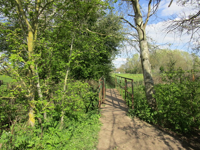
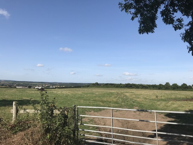
Covering an area of approximately 20 acres, Domleo's Spinney is characterized by its diverse range of trees, including oak, beech, birch, and ash. The woodland is known for its dense canopy, which provides a cool and shaded atmosphere, especially during the hot summer months. The forest floor is covered in a thick carpet of moss and ferns, creating a lush and green undergrowth.

The Spinney is crisscrossed by a network of footpaths, allowing visitors to explore its beauty at their leisure. These well-maintained trails wind through the forest, offering glimpses of native wildlife and providing an opportunity for birdwatching. The tranquil ambiance of Domleo's Spinney also makes it an ideal spot for nature photography and picnics.

Despite its small size, the woodland is home to a variety of animal species, including squirrels, rabbits, and a wide range of birdlife. The Spinney provides a vital habitat for these creatures, offering shelter, food, and a safe breeding ground.

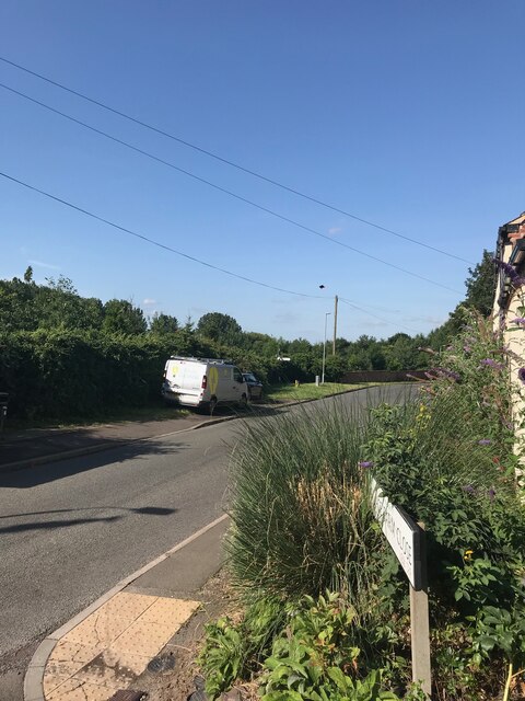
Domleo's Spinney is easily accessible and is a popular destination for local residents and visitors alike. Its natural beauty and peaceful ambiance make it a perfect place to escape the hustle and bustle of everyday life and immerse oneself in the wonders of the natural world.

If you have any feedback on the listing, please let us know in the comments section below.

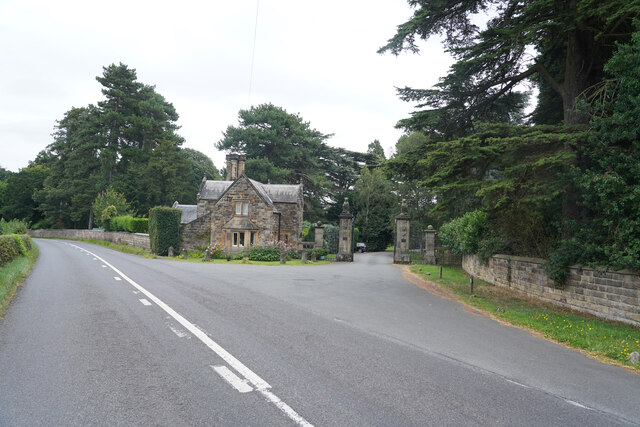
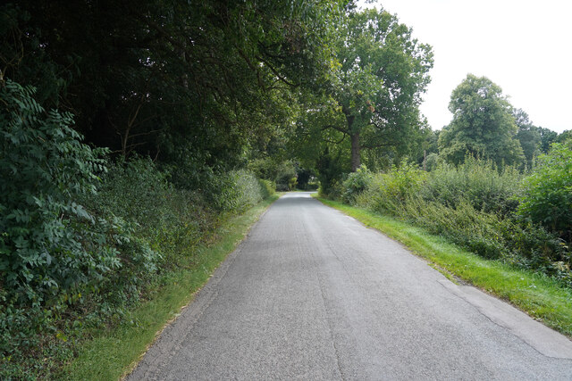
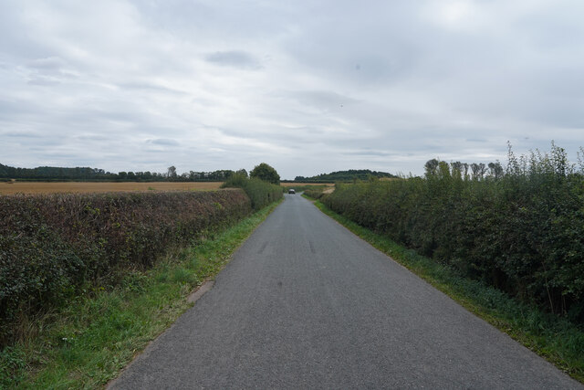
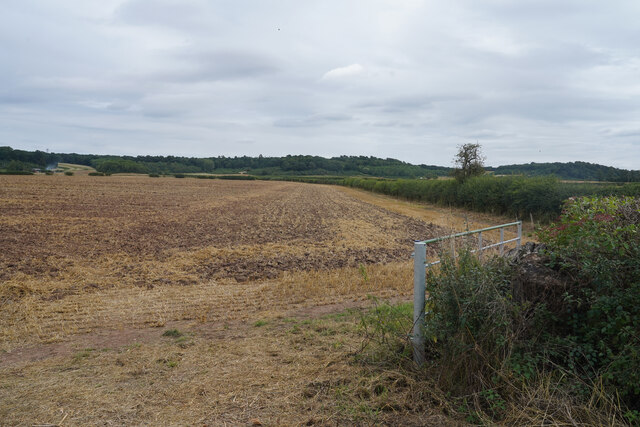
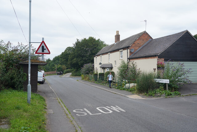
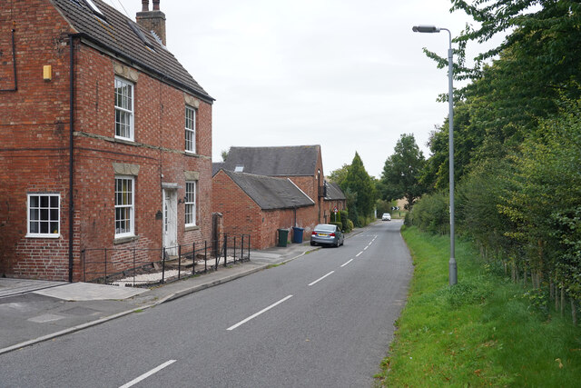
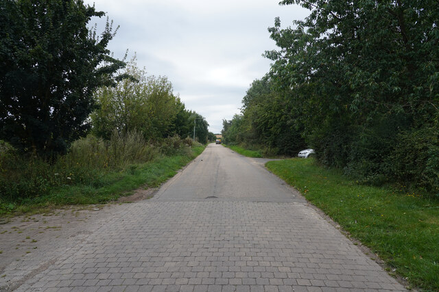
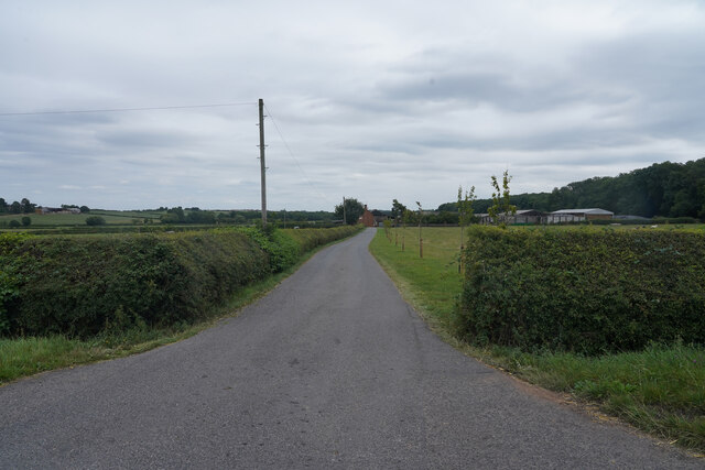
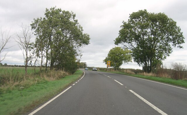
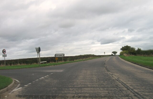
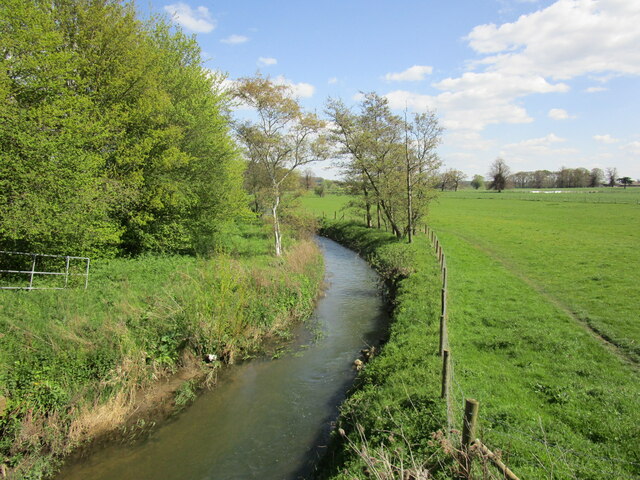
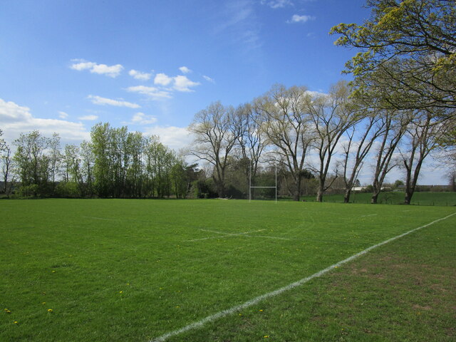
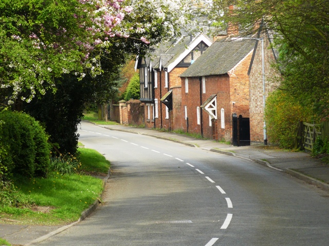
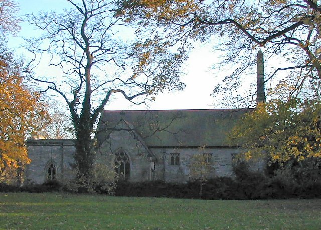
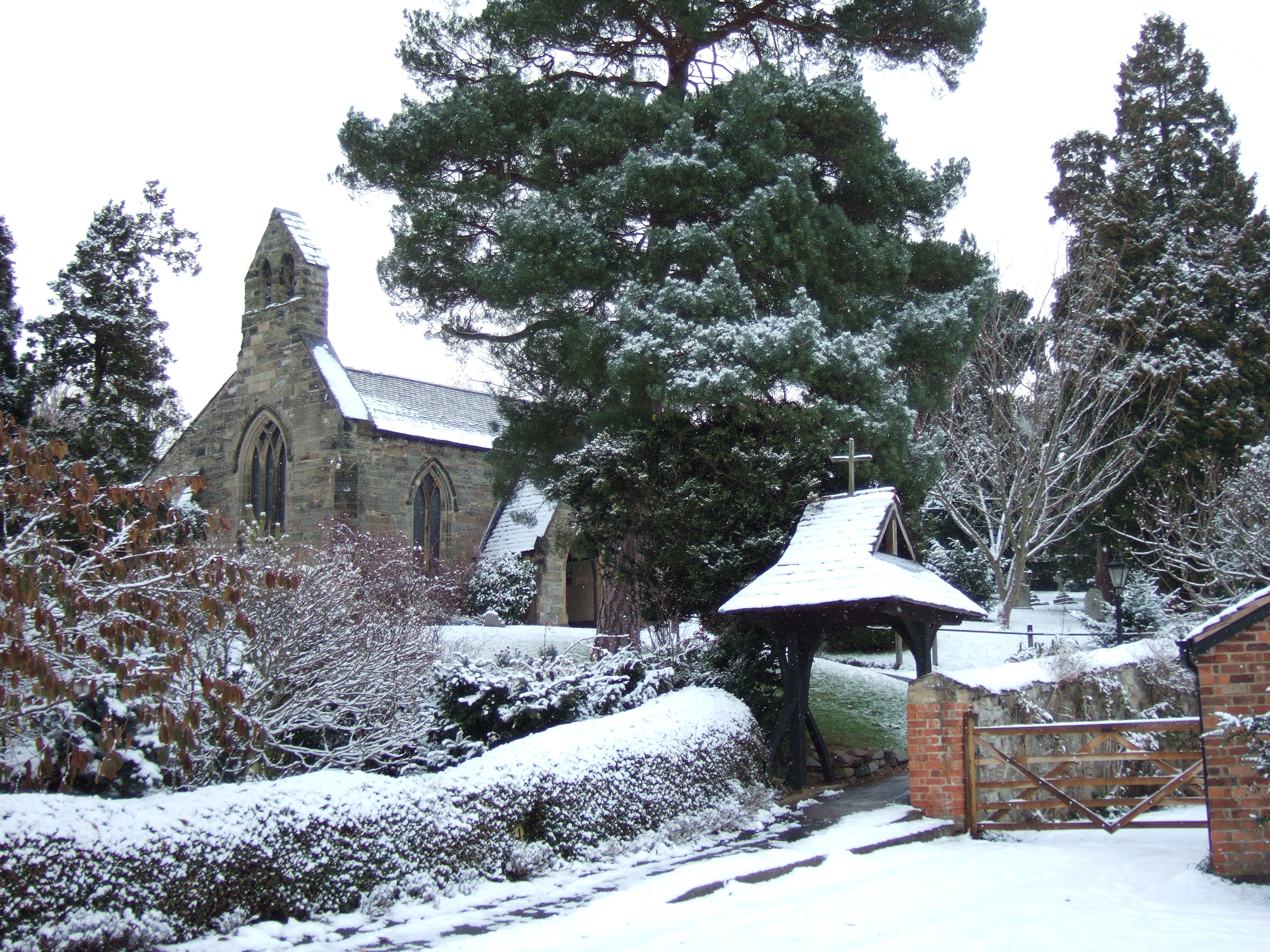
Domleo's Spinney Images

Images are sourced within 2km of 52.831586/-1.2379577 or Grid Reference SK5126. Thanks to Geograph Open Source API. All images are credited.

Footbridge over a drain by the River Soar
Footpath to Sutton Bonington
Main Street - West Leake
Field view at junction with A6006
St. Winifred's Church This is the parish church of Kingston on Soar, which is a tiny village around a three way road junction.
St. Winifred's Church
This is the parish church of Kingston on Soar, which is a tiny village around a three way road junction.
The Lodge This is Gotham Road with the Lodge guarding the entrance to Kingston Hall.
The Lodge
This is Gotham Road with the Lodge guarding the entrance to Kingston Hall.
West Leake Lane A rural road that twists and turns its way to the villages of East and West Leake.
West Leake Lane
A rural road that twists and turns its way to the villages of East and West Leake.
West Leake Lane The lane is a fairly quiet route to the villages of East and West Leake.
West Leake Lane
The lane is a fairly quiet route to the villages of East and West Leake.
A stubble field Another harvested and partly prepared field awaiting a new crop.
A stubble field
Another harvested and partly prepared field awaiting a new crop.
West Leake Looking past the entrance to Village Farm Close.
West Leake
Looking past the entrance to Village Farm Close.
The edge of West Leake West Leake appears to be a fairly quiet place on my trip through.
The edge of West Leake
West Leake appears to be a fairly quiet place on my trip through.
Landcroft Lane Landcroft Lane appears as though it could be a route into the site of Sutton Bonnington Campus of Nottingham University. It is the agricultural research site of the university.
Landcroft Lane
Landcroft Lane appears as though it could be a route into the site of Sutton Bonnington Campus of Nottingham University. It is the agricultural research site of the university.
California Farm This is the entrance to California Farm which is off Trowell Lane.
California Farm
This is the entrance to California Farm which is off Trowell Lane.
A6006 eastbound
A6006 eastbound
A6006 eastbound
A6006 eastbound
Kingston Brook Looking upstream from Kingston Bridge.
Kingston Brook
Looking upstream from Kingston Bridge.
Rugby pitch, Sutton Bonington
St Anne's church, Sutton Medieval parish church <span class="nowrap"><a title="https://historicengland.org.uk/listing/the-list/list-entry/1242374?section=official-list-entry" rel="nofollow ugc noopener" href="https://historicengland.org.uk/listing/the-list/list-entry/1242374?section=official-list-entry">Link</a><img style="margin-left:2px;" alt="External link" title="External link - shift click to open in new window" src="https://s1.geograph.org.uk/img/external.png" width="10" height="10"/></span>
St Anne's church, Sutton
Medieval parish church LinkExternal link
Show me another place!

Domleo's Spinney is located at Grid Ref: SK5126 (Lat: 52.831586, Lng: -1.2379577)

Administrative County: Nottinghamshire

District: Rushcliffe

Police Authority: Nottinghamshire

What 3 Words

///bands.cosmic.lotteries. Near Sutton Bonington, Nottinghamshire

Related Wikis

University Farm (Nottinghamshire)

University Farm is a 445 hectare (4.45 km2) commercial research farm attached to the Sutton Bonington Campus of the University of Nottingham, England....

Sutton Bonington weather station

The Sutton Bonington weather station is a functioning weather station located in Sutton Bonington, Nottinghamshire in England. The weather station is located...

West Leake

West Leake () is a small conservation village and civil parish in the Rushcliffe district of Nottinghamshire. == Description == === Setting === The parish...

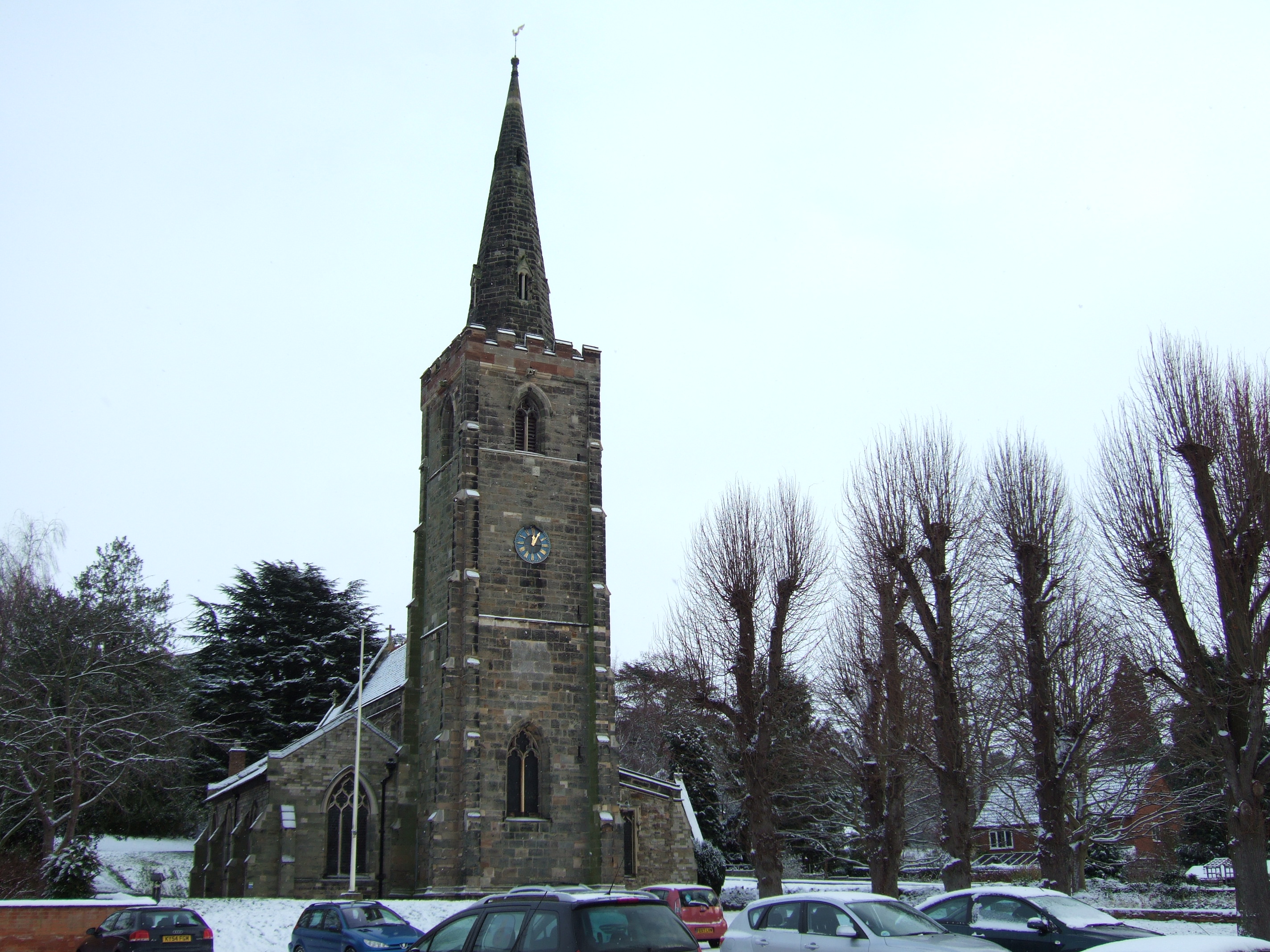
St Michael's Church, Sutton Bonington

St. Michael's Church is a parish church in the Church of England in Sutton Bonington, Nottinghamshire. The church is a 13th-century Grade II* Listed building...

St Helena's Church, West Leake

St Helena's Church, West Leake is a parish church in the Church of England in West Leake, Nottinghamshire. The church is Grade II* listed by the Department...

Kegworth railway station

Kegworth railway station located in Nottinghamshire was a station serving the villages of Kegworth, Leicestershire, Sutton Bonington, and Kingston on...

St Anne's Church, Sutton Bonington

St. Anne's Church is a parish church in the Church of England in Sutton Bonington, Nottinghamshire. The church is a 12th-century Grade II* Listed building...

Sutton Bonington

Sutton Bonington () is a village and civil parish lying along the valley of the River Soar in the Borough of Rushcliffe, south-west Nottinghamshire, England...

Nearby Amenities

Located within 500m of 52.831586,-1.2379577
Post Box
Collection Times: Mo-Fr 16:00; Sa 10:45
Post Box Manufacturer: Machan Engineering
Post Box Type: lamp
Ref: LE12 107
Royal Cypher: EIIR
Royal Cypher Wikidata: Q33102113
Source: survey
Lat/Long: 52.831622/-1.2314257
Melton Lane
Naptan AtcoCode: 3300RU0656
Naptan Bearing: SE
Naptan BusStopType: CUS
Naptan CommonName: Melton Lane
Naptan Crossing: Landcroft Lane
Naptan Indicator: SE-bound
Naptan NaptanCode: ntsajdjt
Naptan Notes: CUS
Naptan Street: Melton Lane
Naptan Verified: no
Source: naptan_import
Lat/Long: 52.8318036/-1.2311017
Animal Boarding
Landcroft Cattery
Addr Housenumber: 10
Addr Postcode: LE12 5PD
Addr Street: Landcroft Lane
Animal Boarding: cat
Source: survey
Source Addr Postcode: website
Website: http://www.landcroftcattery.com/
Lat/Long: 52.8294872/-1.2367635
Passing Place
Lat/Long: 52.8293628/-1.241914
Bench
Source: survey
Lat/Long: 52.8295565/-1.2390293
Power: pole
Source: Bing
Lat/Long: 52.834261/-1.2332598
Power: pole
Source: Bing
Lat/Long: 52.8328302/-1.2310175
Power: pole
Source: Bing
Lat/Long: 52.8334897/-1.2320743
The data included in this document is from www.openstreetmap.org. The data is made available under ODbL.

Have you been to Domleo's Spinney?

Leave your review of Domleo's Spinney below (or comments, questions and feedback).