Dialstone Plantation
Wood, Forest in Yorkshire Ryedale
England
Dialstone Plantation

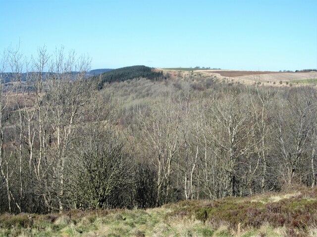
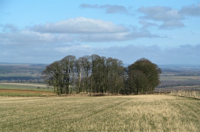
Dialstone Plantation, located in Yorkshire, is a picturesque woodland area renowned for its natural beauty and rich history. Nestled in the heart of the forest, this enchanting plantation covers a vast expanse of land, offering visitors a peaceful and tranquil escape from the bustling city life.
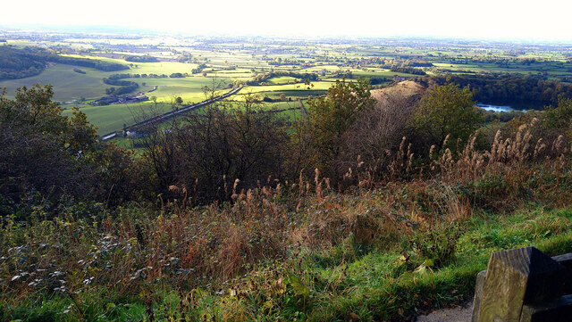
The plantation is home to a diverse range of flora and fauna, making it a haven for nature enthusiasts and wildlife lovers. Towering oak trees, vibrant wildflowers, and a variety of indigenous plants create a stunning tapestry of colors throughout the seasons. The serene atmosphere is often punctuated by the sounds of chirping birds and rustling leaves, providing a soothing soundtrack for visitors to enjoy.
Steeped in history, Dialstone Plantation holds significant cultural value. The area was once a vital source of timber for the local community, and remnants of the past can still be found scattered throughout the woodland. The plantation also boasts an ancient stone dial, which was used to tell the time by casting shadows on its face, hence its name.
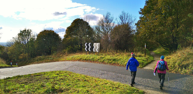
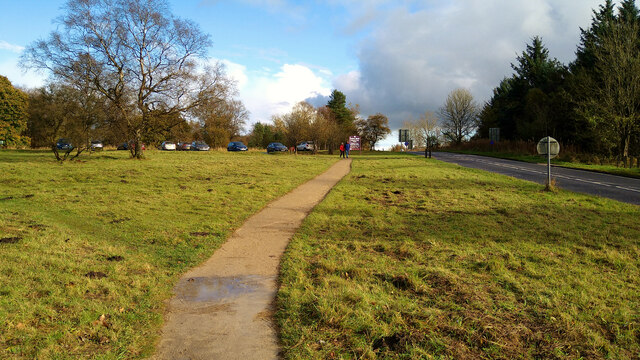
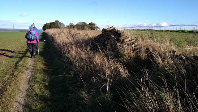
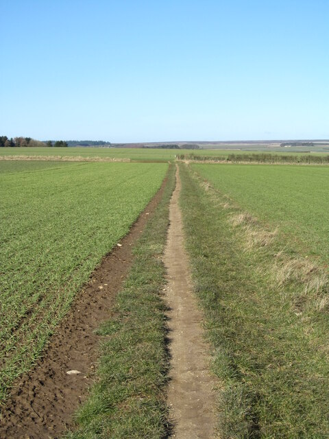
Visitors to Dialstone Plantation can explore the numerous walking trails that wind their way through the woodland, offering breathtaking views of the surrounding countryside. These trails cater to all levels of fitness and provide an opportunity to discover hidden treasures such as charming streams and quaint picnic spots.
In conclusion, Dialstone Plantation is a captivating destination that seamlessly blends natural beauty with historical significance. Whether it's a leisurely stroll through the forest, a bird-watching expedition, or simply a moment of tranquility, this woodland paradise offers something for everyone to enjoy.
If you have any feedback on the listing, please let us know in the comments section below.
Dialstone Plantation Images
Images are sourced within 2km of 54.253979/-1.2053519 or Grid Reference SE5184. Thanks to Geograph Open Source API. All images are credited.


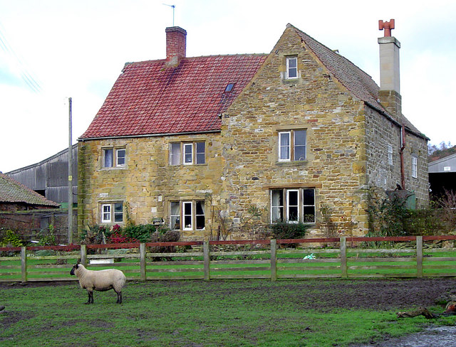
![Dialstone Farm Situated high on the Hambleton Hills close to the 1000ft contour. This might be high, but it is decent arable land. The farmhouse [hidden here] was once the Dialstone Inn, one of several alongside the old droving road which ran along the hilltop.](https://s3.geograph.org.uk/geophotos/07/10/82/7108283_e792c403.jpg)

Dialstone Plantation is located at Grid Ref: SE5184 (Lat: 54.253979, Lng: -1.2053519)
Division: North Riding
Administrative County: North Yorkshire
District: Ryedale
Police Authority: North Yorkshire
What 3 Words
///annual.inflating.consented. Near Thirsk, North Yorkshire
Nearby Locations
Related Wikis

Cold Kirby
Cold Kirby is a village and civil parish in the Ryedale district of North Yorkshire, England. The population at the 2011 census (including Angram Grange...

Hambleton, Ryedale
Hambleton is a hamlet on the A170 road between Thirsk and Pickering in North Yorkshire, England. It lies on the Hambleton Hills 1 mile east of Sutton Bank...

Hambleton Hills
The Hambleton Hills are a range of hills in North Yorkshire, England. They form the western edge of the North York Moors but are separated from the moors...

Gormire Lake
Gormire Lake is a natural lowland lake that lies at the foot of Whitestone Cliff, a western escarpment of the Hambleton Hills in the North York Moors National...

Yorkshire Gliding Club
The Yorkshire Gliding Club (YGC) operate from an airfield on Sutton Bank in the North York Moors National Park, England. The airfield site is 7 miles...
Hood Abbey
Hood Abbey was an abbey on the grounds of today's Hood Grange, North Yorkshire, England. The abbey at Hood was known to be in existence as a hermitage...
Hood Grange
Hood Grange is a hamlet and civil parish in the Hambleton district of North Yorkshire, England. The population was less than 100 in the 2011 Census, so...

Old Byland and Scawton
Old Byland and Scawton is a civil parish in the Ryedale district, in the county of North Yorkshire, England. The parish includes the villages of Old Byland...
Nearby Amenities
Located within 500m of 54.253979,-1.2053519Have you been to Dialstone Plantation?
Leave your review of Dialstone Plantation below (or comments, questions and feedback).