Long Plantation
Wood, Forest in Yorkshire Hambleton
England
Long Plantation
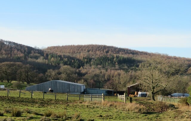
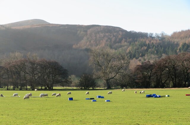
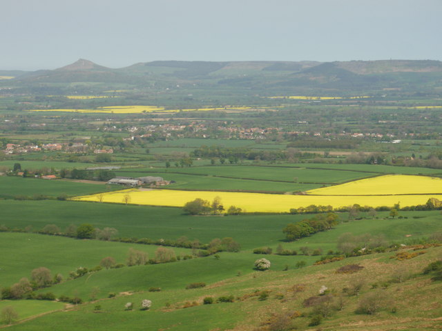
Long Plantation is a picturesque woodland area located in Yorkshire, England. Situated in the heart of the county, it is part of the larger Forest of Yorkshire and covers an expansive area of approximately 100 hectares. The plantation is nestled amidst rolling hills and scenic landscapes, offering visitors a tranquil and serene environment.
The woodland is primarily composed of tall, mature trees such as oak, beech, and birch, which create a dense canopy overhead. The forest floor is adorned with a rich tapestry of lush vegetation, including ferns, bluebells, and wildflowers, adding to the area's natural beauty. The diverse ecosystem supports a wide range of wildlife, including deer, squirrels, and a variety of bird species.
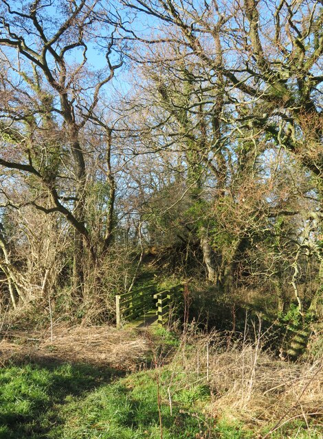
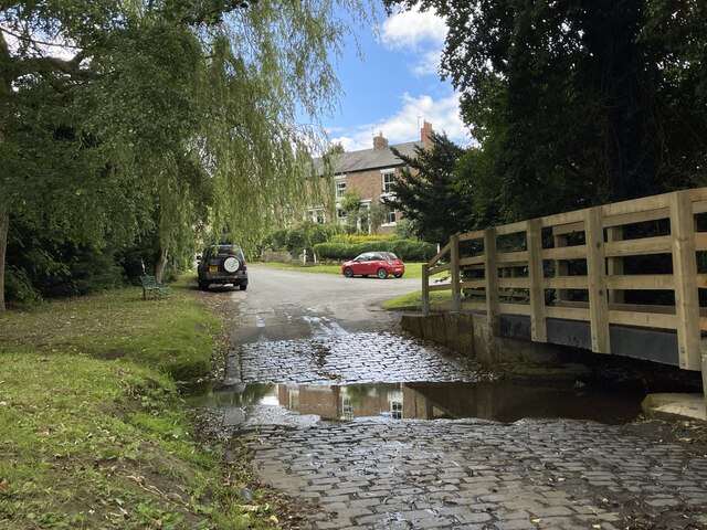
Long Plantation offers numerous walking trails and pathways, allowing visitors to explore the area at their own pace. The well-maintained paths wind through the woodland, leading visitors to hidden gems such as secluded ponds and ancient trees. The plantation also boasts several picnic areas, providing visitors with the perfect opportunity to relax and enjoy a meal amidst the tranquility of nature.
The plantation is a popular destination for nature enthusiasts, hikers, and families seeking outdoor activities. It offers a peaceful retreat from the hustle and bustle of everyday life, allowing visitors to reconnect with nature and enjoy its many wonders. Whether it's a leisurely stroll, a picnic, or wildlife spotting, Long Plantation offers something for everyone to enjoy in the heart of Yorkshire.
If you have any feedback on the listing, please let us know in the comments section below.
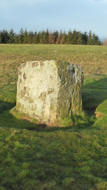
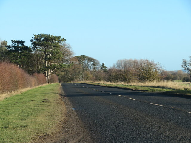
Long Plantation Images
Images are sourced within 2km of 54.435962/-1.2076163 or Grid Reference NZ5104. Thanks to Geograph Open Source API. All images are credited.


Long Plantation is located at Grid Ref: NZ5104 (Lat: 54.435962, Lng: -1.2076163)
Division: North Riding
Administrative County: North Yorkshire
District: Hambleton
Police Authority: North Yorkshire
What 3 Words
///isolating.nipped.clogging. Near Stokesley, North Yorkshire
Nearby Locations
Related Wikis

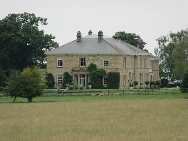
Busby Hall
Busby Hall is a Grade II* listed Country House in Little Busby, North Yorkshire, England, close to the village of Carlton-in-Cleveland. The house and parkland...

Little Busby
Little Busby is a civil parish in the Hambleton District of North Yorkshire, England. It is near the North York Moors and Stokesley. It is pronounced little...

Carlton in Cleveland
Carlton in Cleveland is a village in the district of North Yorkshire, England, and on the edge of the North York Moors National Park. It is situated approximately...

Great Busby
Great Busby is a village and civil parish in the Hambleton District of North Yorkshire, England. The population of the parish was estimated at 70 in 2013...

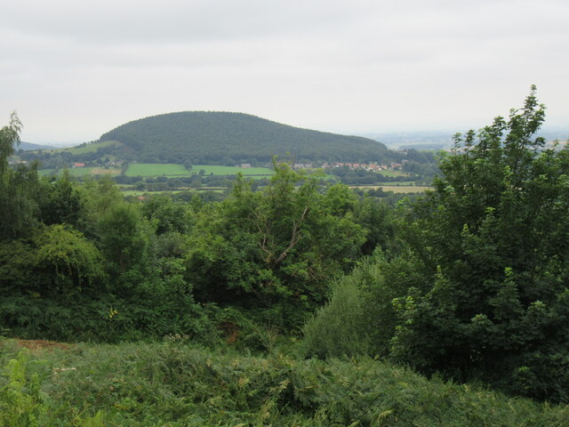
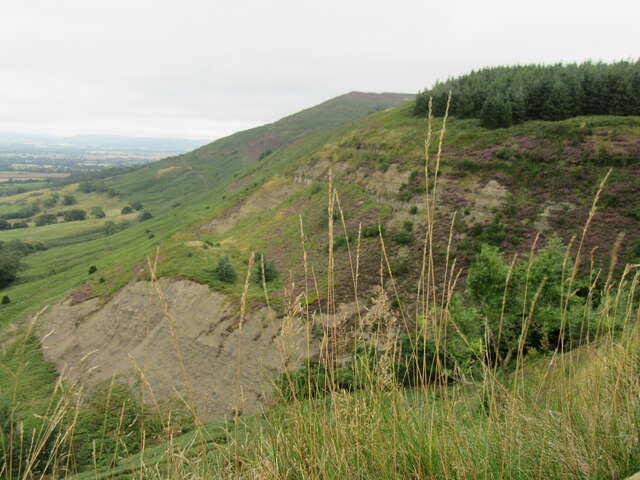
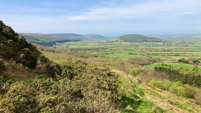
Cleveland Hills
The Cleveland Hills are a range of hills on the north-west edge of the North York Moors in North Yorkshire, England, overlooking Cleveland and Teesside...

Faceby
Faceby is a small village and civil parish in North Yorkshire, England. It is at the north-west corner of the North York Moors and near Stokesley. ��2...

Sexhow railway station
Sexhow railway station was a railway station built to serve the hamlet of Sexhow in North Yorkshire, England. The station was on the North Yorkshire and...

Kirkby, North Yorkshire
Kirkby (historically known as Kirkby-in-Cleveland) is a village and civil parish in Hambleton district of North Yorkshire, England, near Great Busby and...
Related Videos

Southview Holiday Village STOKESLEY NORTH YORKSHIRE #caravanlife #glamping #northyork
Stokesley Show 23rd September 2023, this year. Half Hour drive into Middlesbrough and Captain Cooks Birthplace museum at ...

LORD STONES Walk - North York Moors Hidden Gem
A hidden gem of a walk to the Three Lords Stone, locally named Lord Stone or Lords Seat, on the North York Moors. The walk is a ...

OUR FIRST GLAMPING WEEKEND BREAK!
OUR FIRST TRIP TO A GLAMPING POD WEEKEND BREAK! Southview Retreat, Great Busby, UK If you liked this short and ...

Group Walk to LORDS SEAT in the North York Moors
A YouTube collaboration and 'Plus Size Friendly Hike' to the Three Lords Stone in the North York Moors. The walk is a 3 mile loop ...
Nearby Amenities
Located within 500m of 54.435962,-1.2076163Have you been to Long Plantation?
Leave your review of Long Plantation below (or comments, questions and feedback).