Laycroft Wood

Wood, Forest in Berkshire

England

Laycroft Wood

Path through the Hedge The arable farmland around here is crossed by a good network of footpaths.
This is a typical sort of scene anywhere.
Path through the Hedge Credit: Des Blenkinsopp

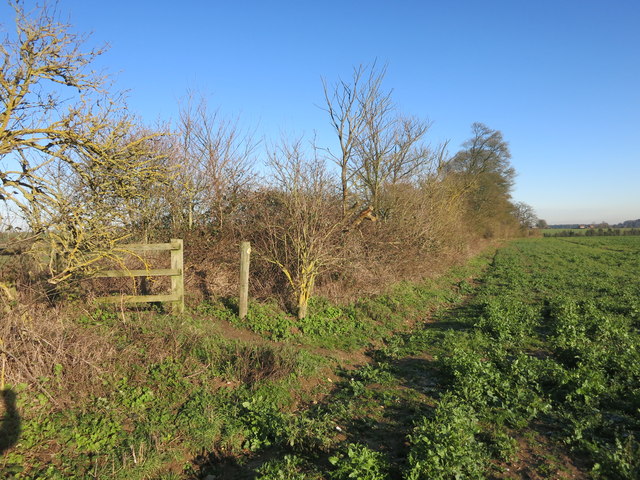
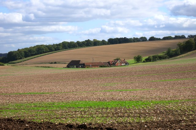
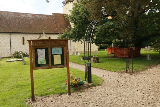
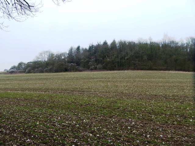
Laycroft Wood is a scenic wooded area located in Berkshire, a county in England. Spanning over a vast expanse of land, the wood is a popular destination for nature enthusiasts and outdoor adventurers.

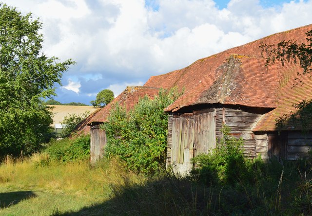
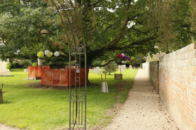
The wood is characterized by its dense, diverse foliage, with a variety of tree species such as oak, beech, and pine dominating the landscape. This rich tapestry of trees creates a tranquil environment, shielding visitors from the noise and bustle of nearby urban areas.

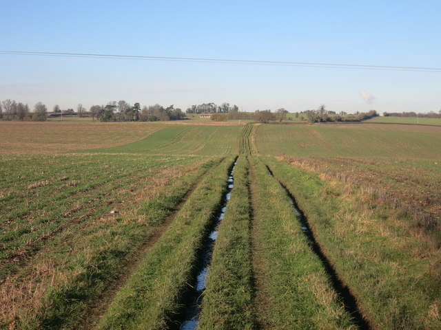
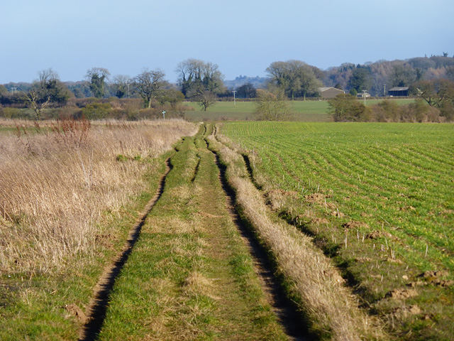
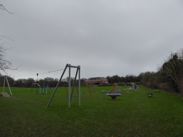
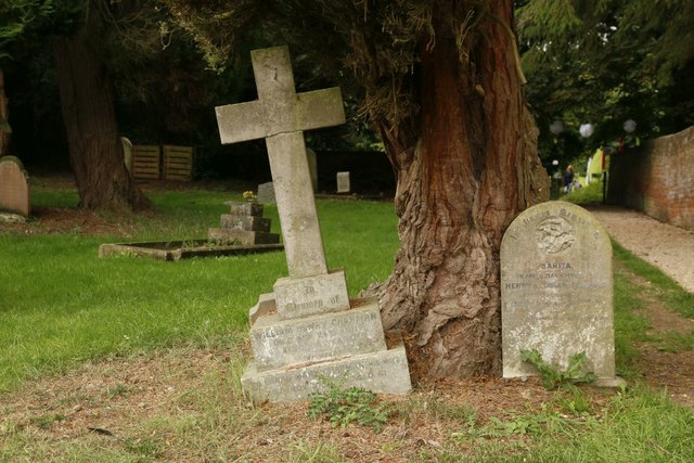
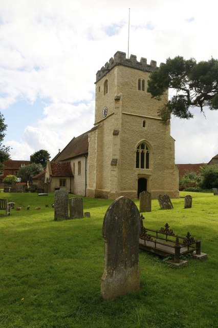
Laycroft Wood offers a multitude of recreational activities for visitors of all ages to enjoy. It features numerous walking trails and paths, allowing hikers to explore the wood's natural beauty at their own pace. The trails wind through the tall trees, offering stunning vistas and opportunities to spot local wildlife, including deer, birds, and squirrels.

In addition to hiking, Laycroft Wood is also a popular spot for picnicking and nature photography. Its peaceful atmosphere and picturesque surroundings make it an ideal place to relax and unwind, away from the stresses of everyday life.

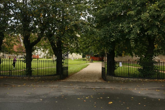
The wood is well-maintained, with designated parking areas and clear signage to ensure visitors can easily navigate the area. It is also easily accessible, located a short distance from nearby villages and towns.

Overall, Laycroft Wood is a hidden gem in Berkshire, offering a tranquil escape into nature and providing a haven for outdoor enthusiasts. Its natural beauty and recreational opportunities make it a must-visit destination for those seeking solace and serenity in the heart of England.

If you have any feedback on the listing, please let us know in the comments section below.

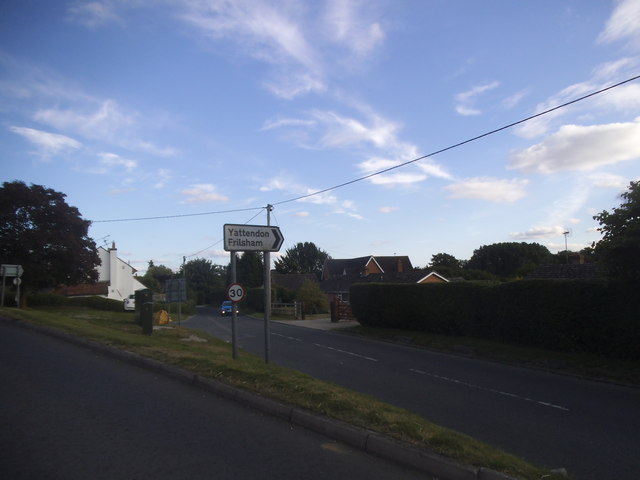
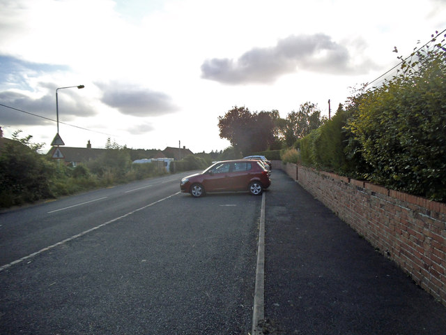
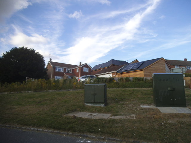
Laycroft Wood Images

Images are sourced within 2km of 51.485475/-1.2597777 or Grid Reference SU5176. Thanks to Geograph Open Source API. All images are credited.

Path through the Hedge The arable farmland around here is crossed by a good network of footpaths.
This is a typical sort of scene anywhere.
Path through the Hedge
The arable farmland around here is crossed by a good network of footpaths. This is a typical sort of scene anywhere.
Track heading North Public footpath shared with farm vehicles.
Track heading North
Public footpath shared with farm vehicles.
Farmland, Hampstead Norreys A junction of footpaths to the west of Bothampstead.
Farmland, Hampstead Norreys
A junction of footpaths to the west of Bothampstead.
Farmland and track, Hampstead Norreys A footpath to the east of Langley Wood making its way towards Bothampstead.
Farmland and track, Hampstead Norreys
A footpath to the east of Langley Wood making its way towards Bothampstead.
New house on Forge Hill, Hampstead Norreys
Forge Hill at the junction of Yattendon Road
Wyld Court Hill, Hampstead Norreys
Houses on Wyld Court Hill, Hampstead Norreys
Barn, Hampstead Norreys, Berkshire
Banterwick Farm
Banterwick Farm
Hampstead Norreys Recreation Ground Since the dawn of time young people have always found a space to play a game and older ones a pleasant spot to sit and natter. But it was the industrial revolution that necessitated a more structured approach to recreational spaces, the idea that those who could do so should provide positive leisure experiences for the less well off. One of the by-products of the great Public Health Act of 1848 was the purposely built park. In 1847, Birkenhead opened a facility designed by the noted landscape architect Joseph Paxton. By 1870 the Mayor of Manchester, John Grave, could say of a new facility: “It is a park of the people. The people have made it; the people have paid for it; and the people will use it.”  Thus, such places became focal points for space starved communities. The paintings of LS Lowry spring to mind. 

Progress in this area ebbs and flows. In 1936 the King George V Playing Fields Scheme to create new sites got under way, but by the 1980s schools were being encouraged to sell their fields to pay for refurbishments. Fast forward another generation and the collective anxiety about child and adult obesity has seen the pendulum swing again. As Nick Piercey of Manchester  Metropolitan University observes: space for recreation is not neutral but shaped by our  past, present and future concerns.
Hampstead Norreys Recreation Ground
Since the dawn of time young people have always found a space to play a game and older ones a pleasant spot to sit and natter. But it was the industrial revolution that necessitated a more structured approach to recreational spaces, the idea that those who could do so should provide positive leisure experiences for the less well off. One of the by-products of the great Public Health Act of 1848 was the purposely built park. In 1847, Birkenhead opened a facility designed by the noted landscape architect Joseph Paxton. By 1870 the Mayor of Manchester, John Grave, could say of a new facility: “It is a park of the people. The people have made it; the people have paid for it; and the people will use it.” Thus, such places became focal points for space starved communities. The paintings of LS Lowry spring to mind. Progress in this area ebbs and flows. In 1936 the King George V Playing Fields Scheme to create new sites got under way, but by the 1980s schools were being encouraged to sell their fields to pay for refurbishments. Fast forward another generation and the collective anxiety about child and adult obesity has seen the pendulum swing again. As Nick Piercey of Manchester Metropolitan University observes: space for recreation is not neutral but shaped by our past, present and future concerns.
Churchyard Entrance The entrance to the churchyard at Hampstead Norreys
Churchyard Entrance
The entrance to the churchyard at Hampstead Norreys
St Mary's Church St Mary's Church Hampstead Norreys
St Mary's Church
St Mary's Church Hampstead Norreys
Notice board and Arch The church notice board and what looks like a new arch since I came here last
Notice board and Arch
The church notice board and what looks like a new arch since I came here last
Things in the Trees Looking along the path in the churchyard at St Mary's Hampstead Norreys where there are things hanging in the trees
Things in the Trees
Looking along the path in the churchyard at St Mary's Hampstead Norreys where there are things hanging in the trees
Hanging in the Tree Could not tell you what they are called but they are hanging in the churchyard at Hampstead Norreys, turns out the village had some occasion going on
Hanging in the Tree
Could not tell you what they are called but they are hanging in the churchyard at Hampstead Norreys, turns out the village had some occasion going on
Still there The two graves are still here in Hampstead Norreys churchyard and not pushed over by the tree yet <a href="https://www.geograph.org.uk/photo/2711229">SU5276 : Pushed over by a tree</a>
Still there
The two graves are still here in Hampstead Norreys churchyard and not pushed over by the tree yet SU5276 : Pushed over by a tree
The Bell Tower St Mary's belltower from the end of the churchyard
The Bell Tower
St Mary's belltower from the end of the churchyard
Show me another place!

Laycroft Wood is located at Grid Ref: SU5176 (Lat: 51.485475, Lng: -1.2597777)

Unitary Authority: West Berkshire

Police Authority: Thames Valley

What 3 Words

///waltzed.stormy.cleansed. Near Hermitage, Berkshire

Related Wikis

Hampstead Norris railway station

Hampstead Norris railway station was a station on the Didcot, Newbury and Southampton Railway in England. It served the village of Hampstead Norreys in...

Hampstead Norreys

Hampstead Norreys (alternatively spelt Hampstead Norris as it is pronounced) is a village and civil parish in Berkshire, England. It is centred on the...

Hampstead Norreys Castle

Hampstead Norreys Castle was a Norman castle in the village of Hampstead Norreys, Berkshire, England. == History == Hampstead Norreys Castle is a Norman...

Perborough Castle

Perborough Castle is the site of an Iron Age univallate hillfort located at Compton in Berkshire. The site covers approximately 14 acres (5.7 ha), and...

Bothampstead

Bothampstead is a hamlet in the English county of Berkshire, and within the civil parish of Hampstead Norreys. It consists of several houses and a farm...

Eling, Berkshire

Eling is a hamlet in the civil parish of Hampstead Norreys in the English county of Berkshire. The settlement lies next to the M4 motorway, and is located...

Ashridge Wood

Ashridge Wood is a 15.9-hectare (39-acre) biological Site of Special Scientific Interest south-west of Compton in Berkshire. It is in the North Wessex...

Oare, Berkshire

Oare is a small village in the civil parish of Chieveley in the English county of Berkshire. == History == Oare boasts the earliest documented history...

Nearby Amenities

Located within 500m of 51.485475,-1.2597777
Power: pole
Source: Bing
Lat/Long: 51.4814799/-1.2617648
Power: pole
Source: Bing
Lat/Long: 51.4840204/-1.266346
Power: pole
Source: Bing
Lat/Long: 51.481951/-1.2627894
Power: pole
Source: Bing
Lat/Long: 51.4824153/-1.2637496
Power: pole
Source: Bing
Lat/Long: 51.4833958/-1.265434
Power: pole
Source: Bing
Lat/Long: 51.4827878/-1.2645489
The data included in this document is from www.openstreetmap.org. The data is made available under ODbL.

Have you been to Laycroft Wood?

Leave your review of Laycroft Wood below (or comments, questions and feedback).