Bullivant's Wood
Wood, Forest in Derbyshire Bolsover
England
Bullivant's Wood

Bullivant's Wood is a picturesque woodland located in Derbyshire, England. Covering an area of approximately 100 acres, this enchanting forest is nestled amidst the stunning landscape of the Peak District National Park. The wood is named after the Bullivant family who were the original owners of the land.
The wood boasts a diverse range of native tree species, including oak, beech, ash, and birch, which create a rich tapestry of colors throughout the seasons. The dense canopy provides a haven for various wildlife, including deer, badgers, foxes, and a plethora of bird species. Nature enthusiasts and birdwatchers flock to Bullivant's Wood to catch a glimpse of the elusive woodpecker or listen to the melodic songs of the thrush and blackbird.
The wood features well-maintained walking trails that wind through the woodland, allowing visitors to explore its beauty at their own pace. These paths meander past babbling brooks, tranquil ponds, and open clearings, offering idyllic spots for picnics or quiet contemplation.
In addition to its natural splendor, Bullivant's Wood also has a rich historical significance. It is believed that the wood was once part of an ancient hunting ground, dating back to medieval times. Archaeologists have unearthed remnants of an Iron Age settlement nearby, further adding to the area's historical allure.
Bullivant's Wood is a true gem of Derbyshire, offering a peaceful escape from the hustle and bustle of modern life. Whether one seeks solace in nature, desires to spot wildlife, or simply wishes to immerse themselves in the region's history, this enchanting woodland is sure to captivate visitors with its timeless beauty.
If you have any feedback on the listing, please let us know in the comments section below.
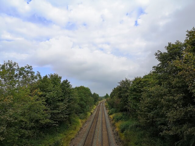
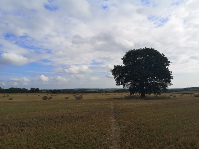
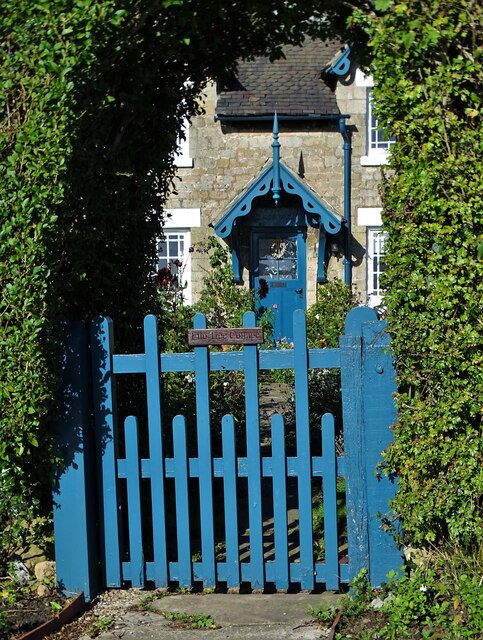
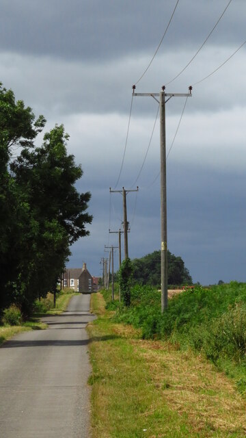
Bullivant's Wood Images
Images are sourced within 2km of 53.258067/-1.2296517 or Grid Reference SK5173. Thanks to Geograph Open Source API. All images are credited.


Bullivant's Wood is located at Grid Ref: SK5173 (Lat: 53.258067, Lng: -1.2296517)
Administrative County: Derbyshire
District: Bolsover
Police Authority: Derbyshire
What 3 Words
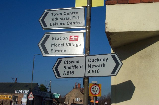
///argued.crossword.cookers. Near Creswell, Derbyshire
Nearby Locations
Related Wikis
Creswell and Welbeck railway station
Creswell and Welbeck railway station used to serve the village of Creswell, in north eastern Derbyshire, England. == See also == Three stations have included...
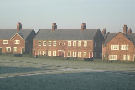
Creswell Model Village
Creswell Model Village is an arts and crafts style model village in the village of Creswell, Derbyshire, England. The pit village was built in 1895 by...
Elmton with Creswell
Elmton with Creswell is a civil parish in the Bolsover district in Derbyshire, England. It covers the villages of Elmton, Creswell and Creswell Model Village...
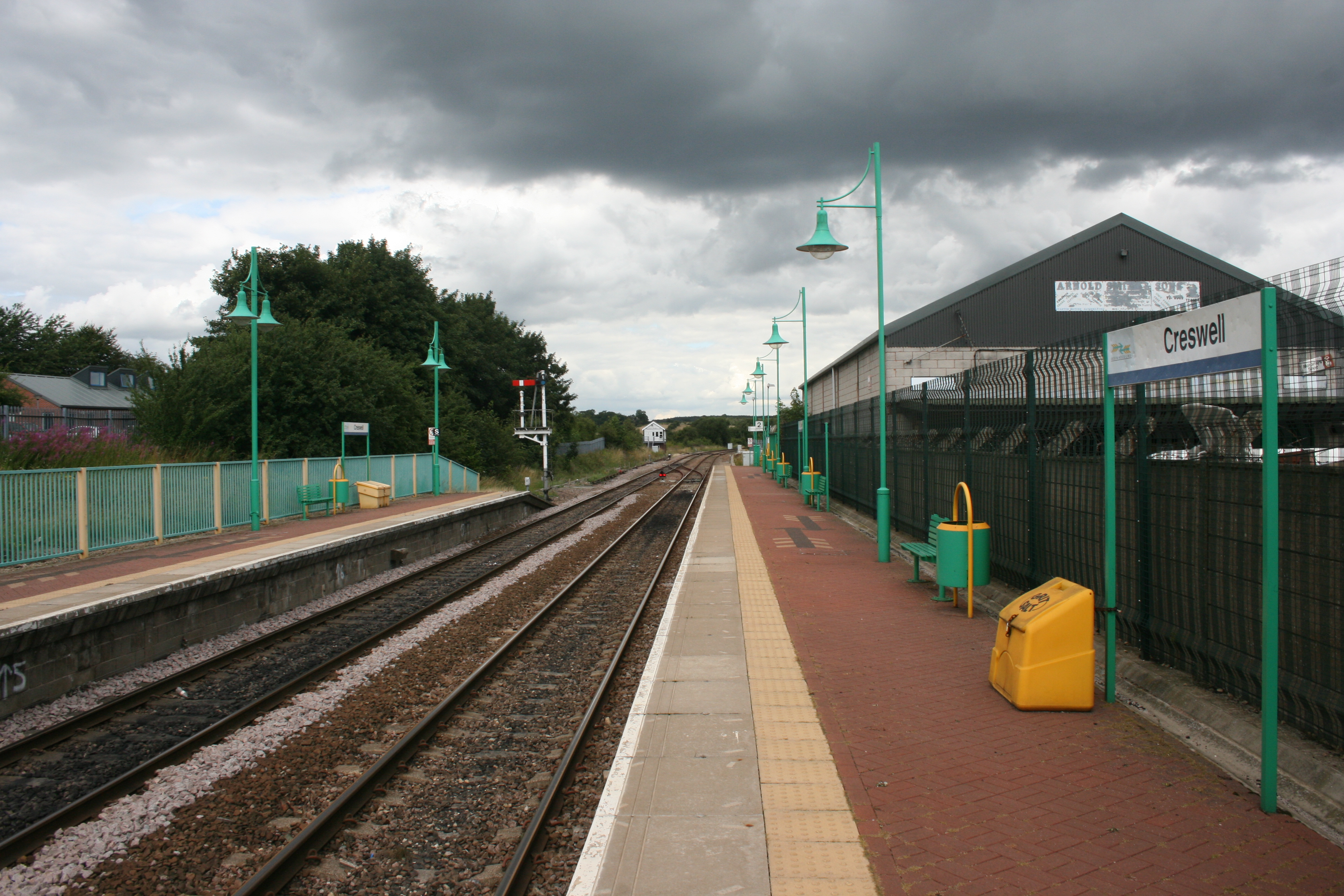
Creswell railway station
Creswell railway station serves the village Creswell in Derbyshire, England. The station is on the Robin Hood Line between Nottingham and Worksop. It is...
Elmton
Elmton is a linear village and former civil parish, now in the parish of Elmton with Creswell in the Bolsover district of Derbyshire, England, approximately...
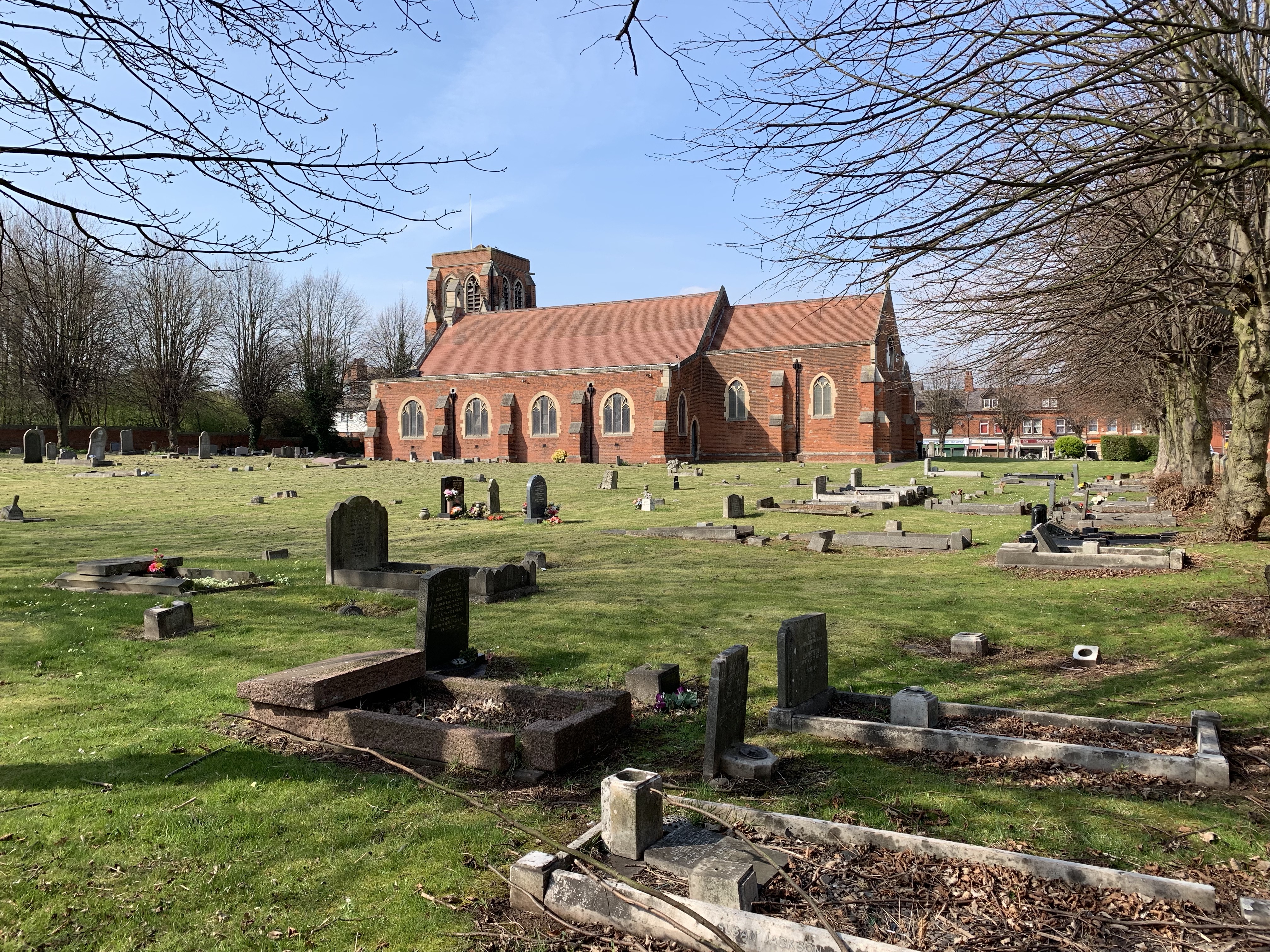
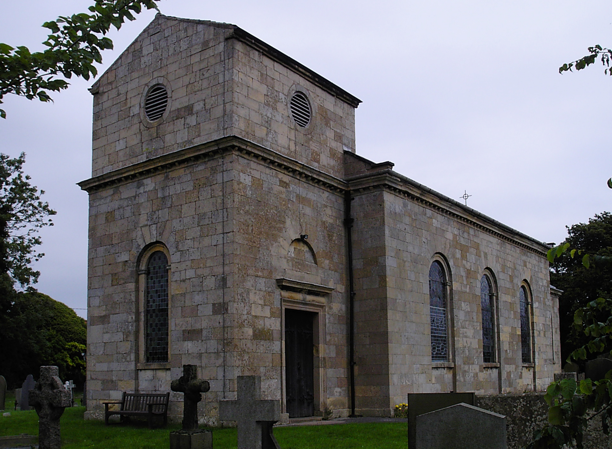
St Mary Magdalene's Church, Creswell
St Mary Magdalene's Church, Creswell is a Grade II listed parish church in the Church of England in Creswell, Derbyshire. == History == The foundation...
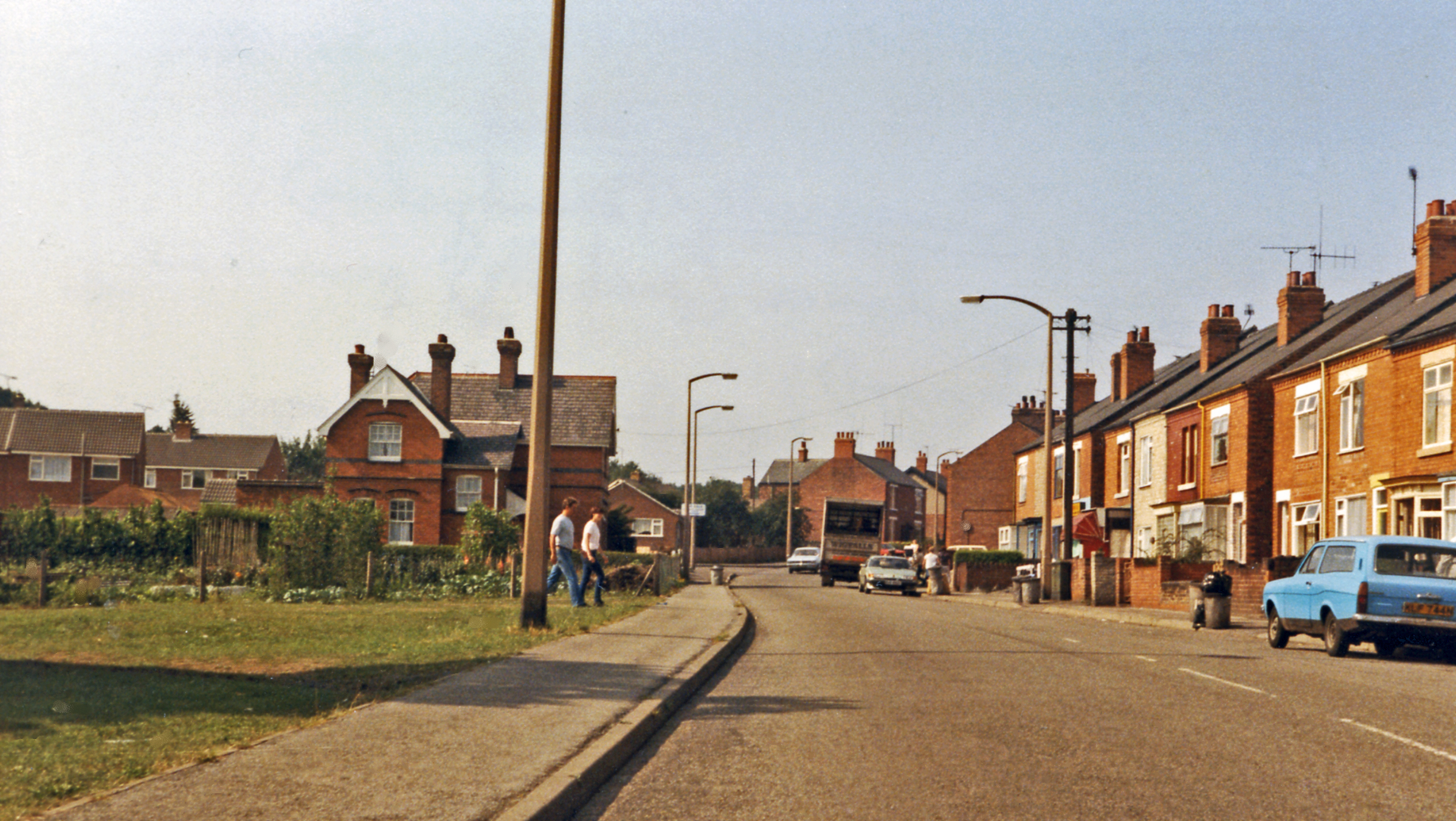
Creswell, Derbyshire
Creswell is a former mining village located in the Bolsover district of Derbyshire, England. At the 2011 Census population details were included in the...

Markland Grips Viaduct
Markland Grips Viaduct is a former railway viaduct south east of Clowne, Derbyshire, England. == Context == The viaduct carried the LD&ECR's double-track...
Nearby Amenities
Located within 500m of 53.258067,-1.2296517Have you been to Bullivant's Wood?
Leave your review of Bullivant's Wood below (or comments, questions and feedback).