Camp Hill
Hill, Mountain in Derbyshire Bolsover
England
Camp Hill

Camp Hill is a prominent hill located in the county of Derbyshire, England. Situated in the heart of the Peak District National Park, it offers breathtaking views and serves as a popular destination for outdoor enthusiasts and nature lovers alike.
Rising to an elevation of approximately 460 meters (1,509 feet), Camp Hill is part of a range of hills known as the White Peak. It is characterized by its distinctive conical shape and is surrounded by rolling countryside, lush green meadows, and picturesque valleys. The hill is composed of limestone, which has eroded over time to create a unique and rugged landscape.
Camp Hill is a haven for hikers, walkers, and climbers who are drawn to its challenging yet rewarding trails. There are numerous footpaths and bridleways that crisscross the hill, providing opportunities to explore its diverse flora and fauna. The hill is also home to a variety of wildlife, including birds of prey, deer, and rare plant species.
In addition to its natural beauty, Camp Hill has historical significance. It is believed to have been an Iron Age hillfort, with remnants of ancient fortifications still visible today. The hill offers an insight into the region's rich history and has become a site of interest for archaeologists and history enthusiasts.
Overall, Camp Hill in Derbyshire offers a captivating blend of natural beauty, outdoor activities, and historical intrigue. Whether one seeks a challenging hike, a tranquil picnic spot, or an opportunity to connect with nature, this hill is sure to provide a memorable experience.
If you have any feedback on the listing, please let us know in the comments section below.
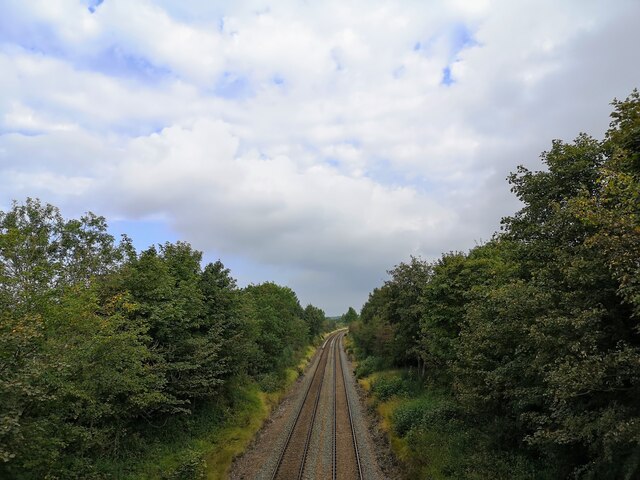
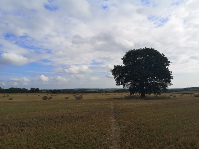
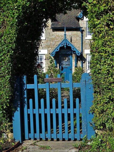
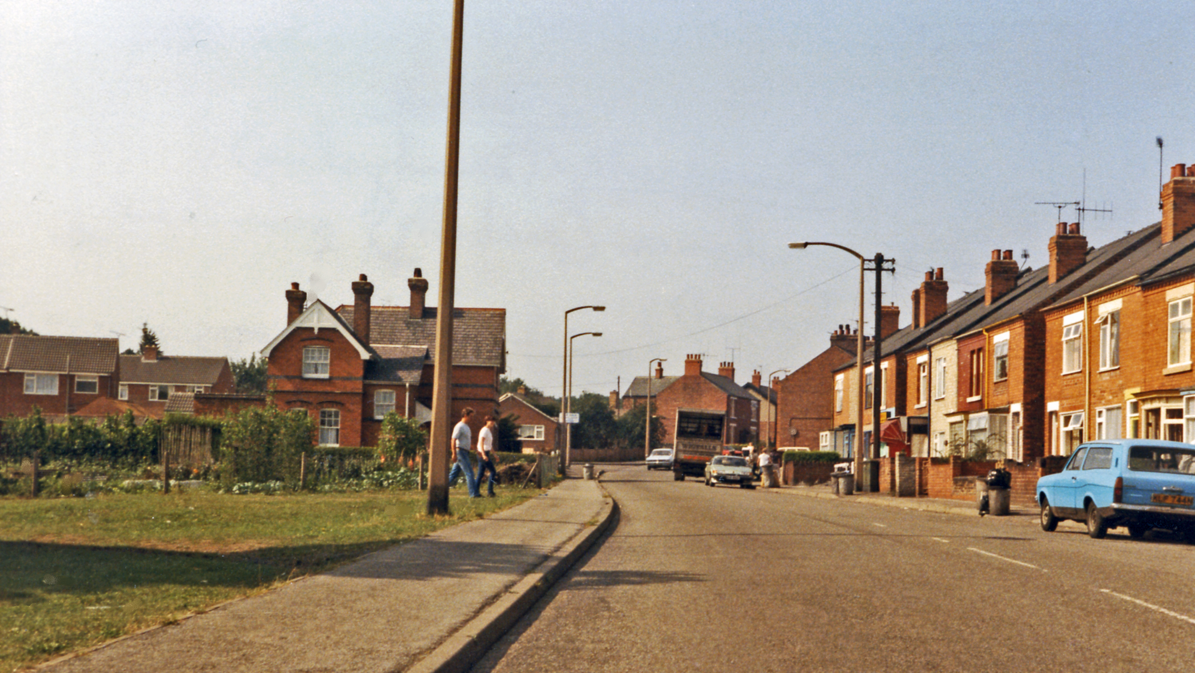
Camp Hill Images
Images are sourced within 2km of 53.258818/-1.2319168 or Grid Reference SK5173. Thanks to Geograph Open Source API. All images are credited.


Camp Hill is located at Grid Ref: SK5173 (Lat: 53.258818, Lng: -1.2319168)
Administrative County: Derbyshire
District: Bolsover
Police Authority: Derbyshire
What 3 Words
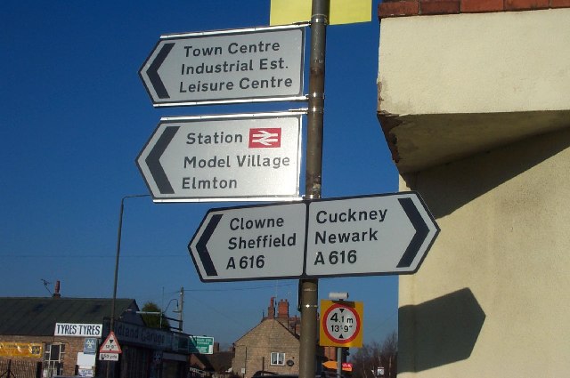
///broker.edges.shredder. Near Creswell, Derbyshire
Nearby Locations
Related Wikis
Creswell and Welbeck railway station
Creswell and Welbeck railway station used to serve the village of Creswell, in north eastern Derbyshire, England. == See also == Three stations have included...
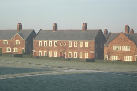
Creswell Model Village
Creswell Model Village is an arts and crafts style model village in the village of Creswell, Derbyshire, England. The pit village was built in 1895 by...
Elmton with Creswell
Elmton with Creswell is a civil parish in the Bolsover district in Derbyshire, England. It covers the villages of Elmton, Creswell and Creswell Model Village...
Elmton
Elmton is a linear village and former civil parish, now in the parish of Elmton with Creswell in the Bolsover district of Derbyshire, England, approximately...
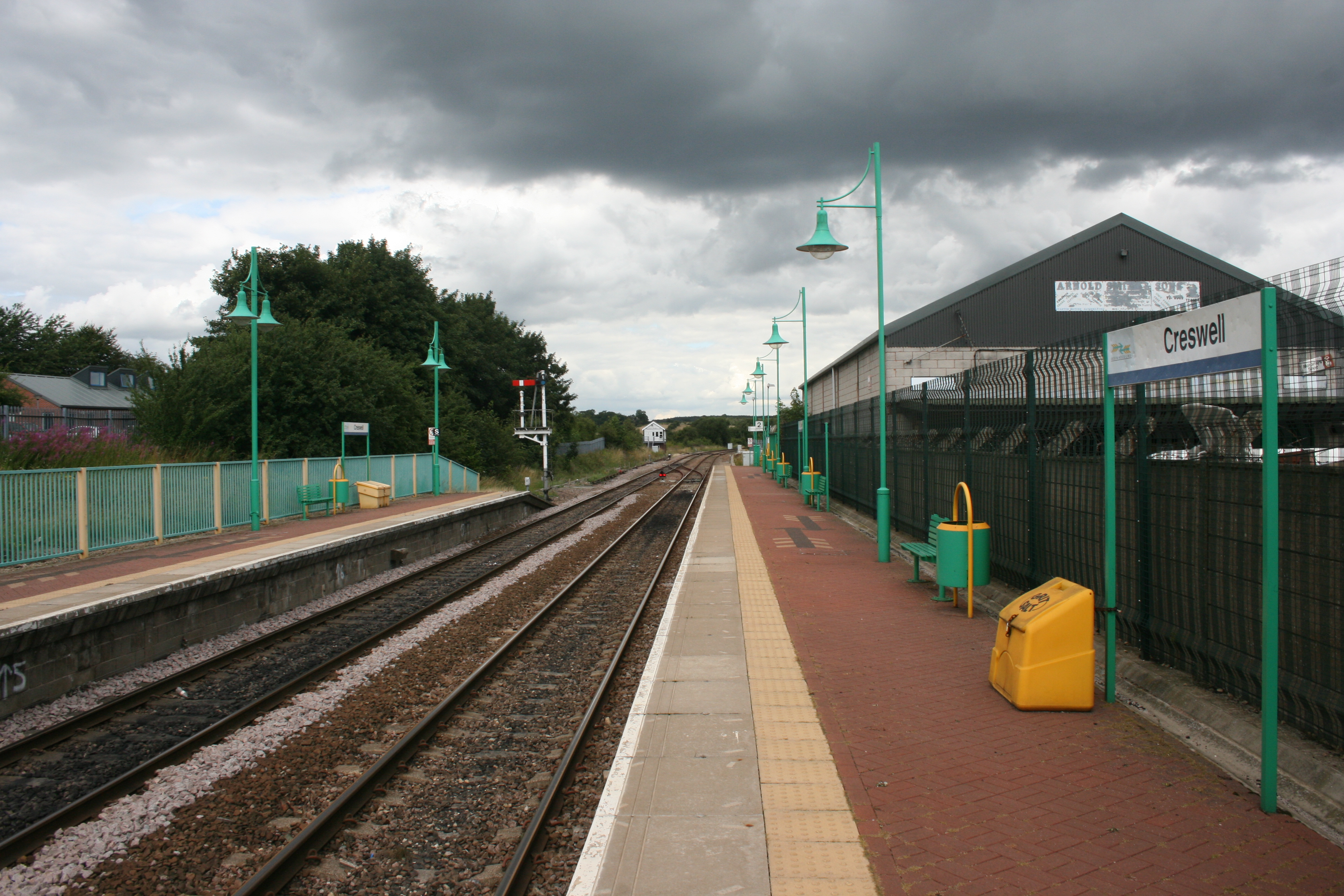
Creswell railway station
Creswell railway station serves the village Creswell in Derbyshire, England. The station is on the Robin Hood Line between Nottingham and Worksop. It is...

Markland Grips Viaduct
Markland Grips Viaduct is a former railway viaduct south east of Clowne, Derbyshire, England. == Context == The viaduct carried the LD&ECR's double-track...
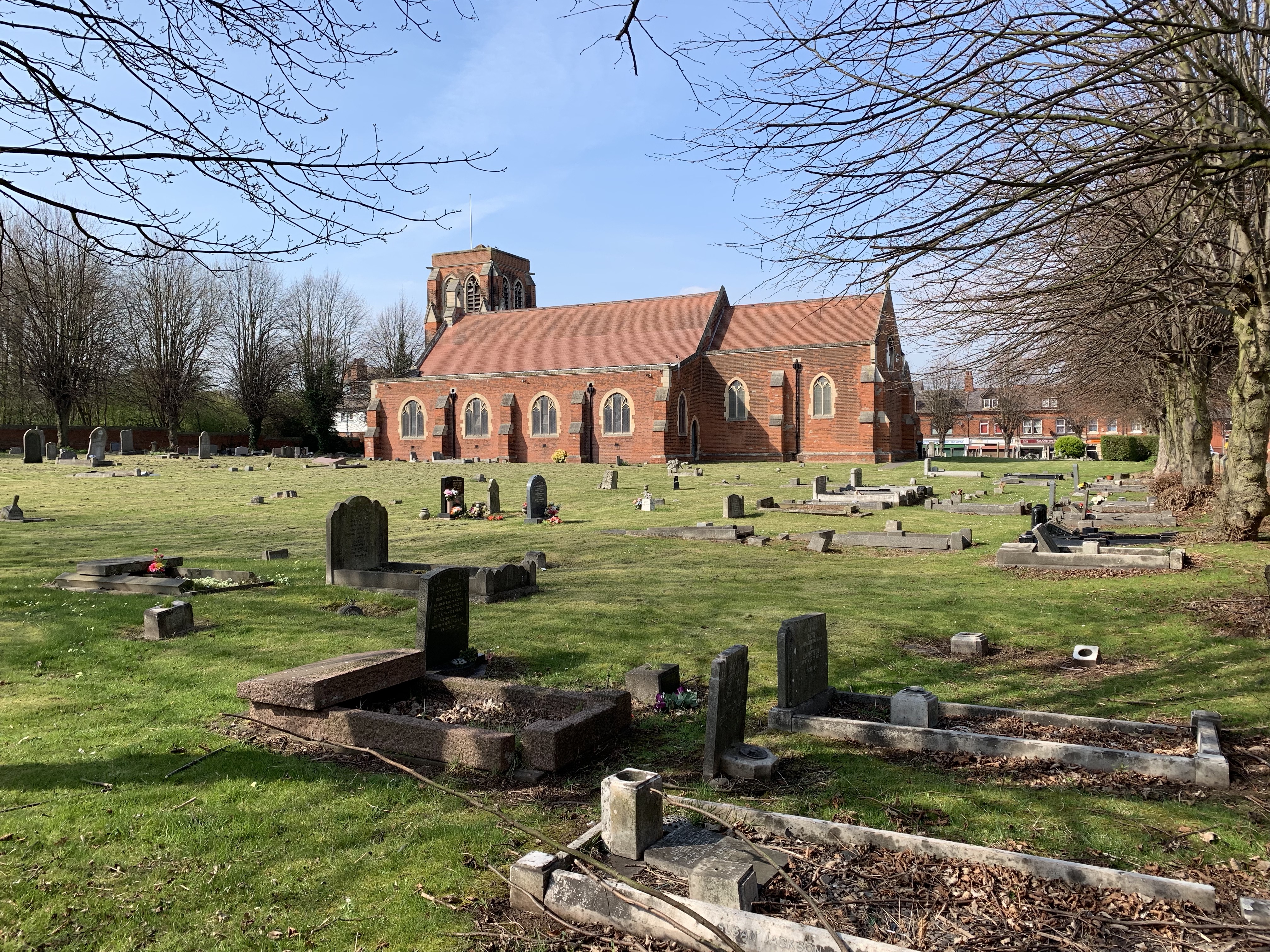
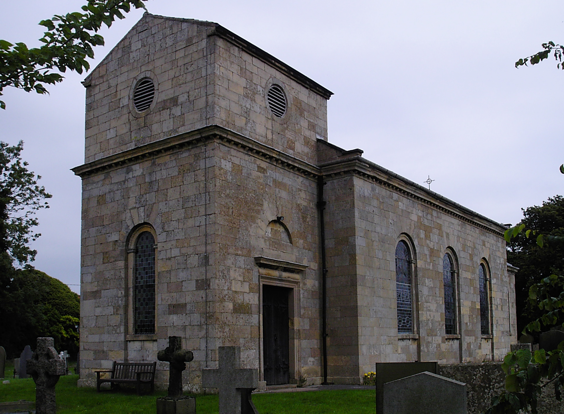
St Mary Magdalene's Church, Creswell
St Mary Magdalene's Church, Creswell is a Grade II listed parish church in the Church of England in Creswell, Derbyshire. == History == The foundation...
Creswell, Derbyshire
Creswell is a former mining village located in the Bolsover district of Derbyshire, England. At the 2011 Census population details were included in the...
Related Videos

1st day back on YouTube Intro into my channel, van life, travel, animals & more
Welcome back to me and to you. 1st day back and loving it. Will upload Fridays. Come follow Bruce (the dog) and me (the dogs ...
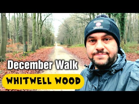
Whitwell Wood Walk in December
Whitwell Wood is just outside the small Derbyshire town of Whitwell on the outskirts of Worksop. The woods cover over 171 ...

Santa's visit to Bolsover
The Rotary Club of Bolsover hosts Santa in his pre-Christmas visits to Bolsover.
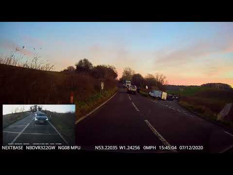
dashcam towing fail
following this van bveing towed. i think they were not on the same page regarding direction of travel.
Nearby Amenities
Located within 500m of 53.258818,-1.2319168Have you been to Camp Hill?
Leave your review of Camp Hill below (or comments, questions and feedback).