Alder Spinney
Wood, Forest in Leicestershire Hinckley and Bosworth
England
Alder Spinney
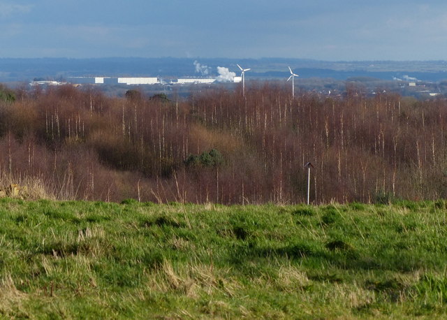
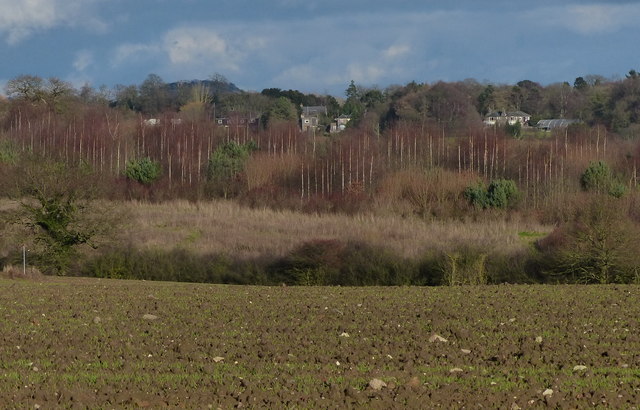
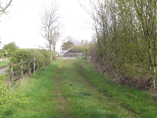
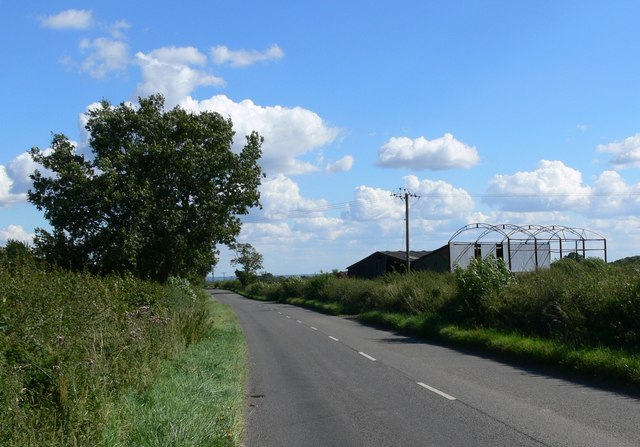
Alder Spinney is a charming woodland area located in Leicestershire, England. Covering an area of approximately 20 acres, this beautiful forest is a haven for nature enthusiasts and outdoor lovers alike. The spinney is predominantly composed of alder trees, which give it its name.
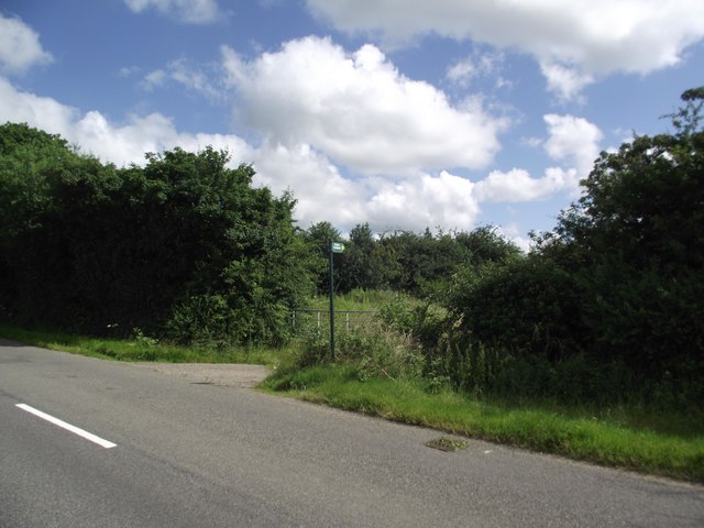
The woodland is situated adjacent to the village of Alder, offering easy access for locals and visitors to explore its tranquil surroundings. The forest is well-preserved and managed by local authorities, ensuring its natural beauty is maintained for generations to come.
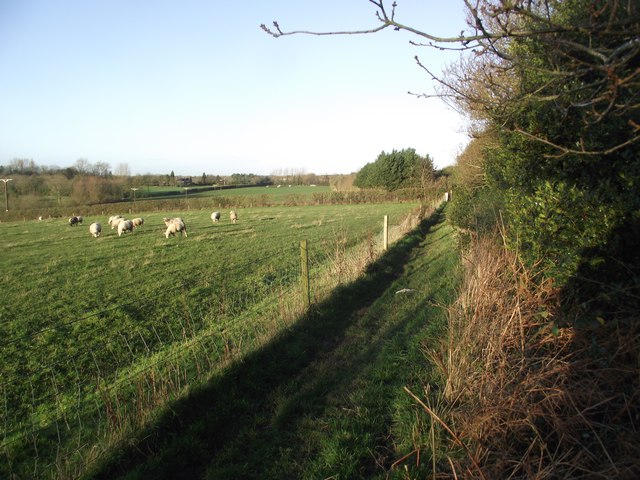
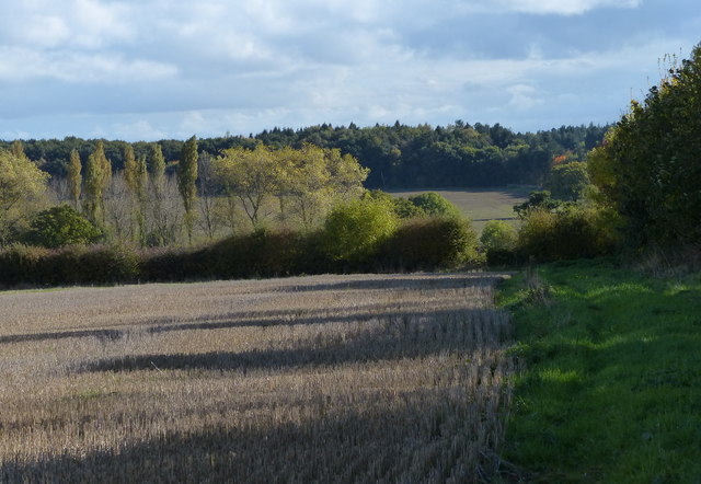
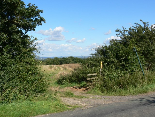
Alder Spinney boasts a diverse range of flora and fauna, providing a habitat for numerous species of birds, insects, and small mammals. The forest floor is adorned with a carpet of wildflowers during the spring and summer months, creating a picturesque scene that attracts many photographers and artists.
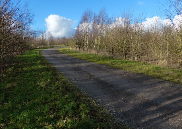
Several walking trails wind their way through the woodland, allowing visitors to immerse themselves in its peaceful ambiance. These paths provide an opportunity to observe the local wildlife and appreciate the serenity of the forest.
For those seeking a more active experience, Alder Spinney offers designated areas for picnicking, camping, and even birdwatching. The forest is a popular spot for families and nature enthusiasts, providing a safe and enjoyable environment for all.
In summary, Alder Spinney is a delightful woodland retreat nestled in Leicestershire. Its lush alder trees, diverse wildlife, and well-maintained trails make it an ideal destination for those seeking a peaceful escape into nature.
If you have any feedback on the listing, please let us know in the comments section below.
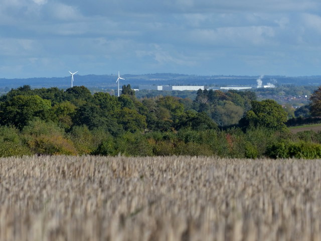
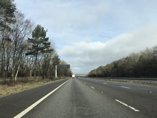
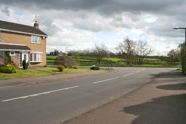
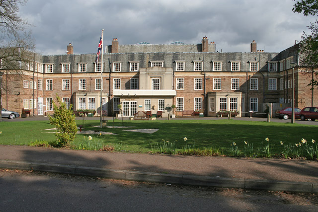
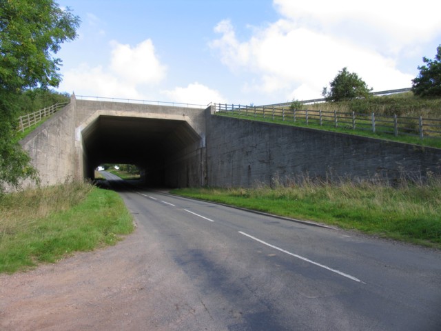
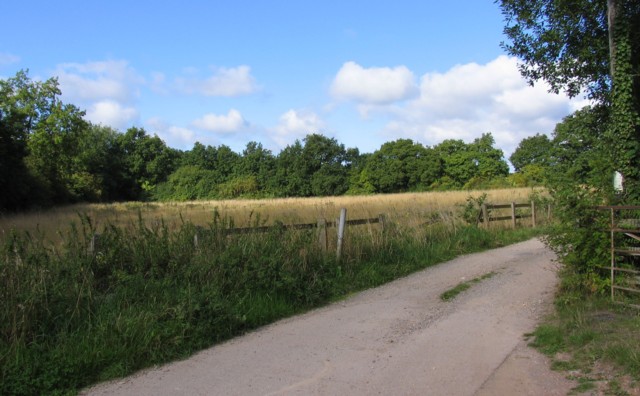
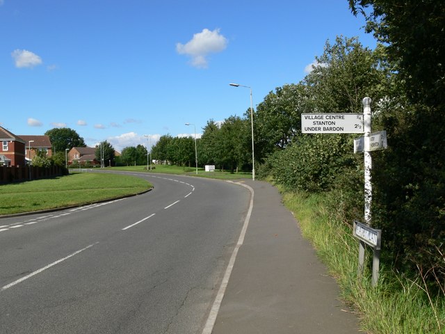
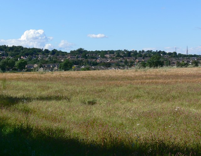
Alder Spinney Images
Images are sourced within 2km of 52.668553/-1.2514876 or Grid Reference SK5008. Thanks to Geograph Open Source API. All images are credited.
Alder Spinney is located at Grid Ref: SK5008 (Lat: 52.668553, Lng: -1.2514876)
Administrative County: Leicestershire
District: Hinckley and Bosworth
Police Authority: Leicestershire
What 3 Words
///anchovies.recorders.dealings. Near Ratby, Leicestershire
Nearby Locations
Related Wikis

Bradgate House, Groby
Bradgate House is a 19th-century ruin in Groby, Leicestershire, England. Built in 1856 for the seventh Earl of Stamford, George Harry Grey, it was intended...

Groby Pool and Woods
Groby Pool and Woods is a 29 hectare biological Site of Special Scientific Interest north of Groby in Leicestershire.Groby Pool is the largest natural...
Brookvale Groby Learning Campus
Brookvale Groby Learning Campus is a coeducational secondary school and sixth form located in Groby in the English county of Leicestershire.The school...
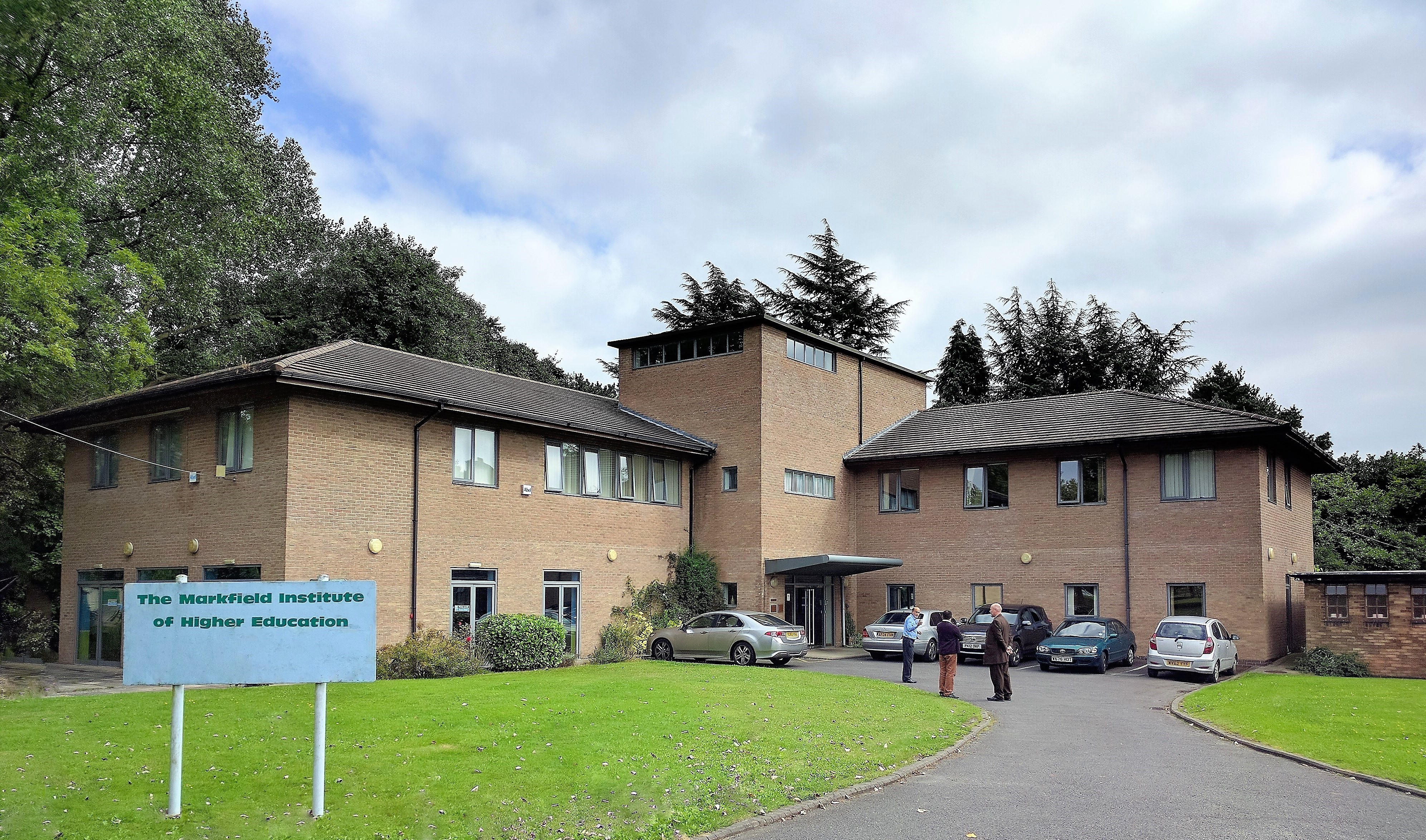
Markfield Institute of Higher Education
The Markfield Institute of Higher Education is an educational institution based in Leicestershire, in the United Kingdom. Specialising in Islamic subjects...
The Islamic Foundation
The Islamic Foundation (Urdu: موَسسہَ اسلامی, also called the Islamic Foundation UK) is Jamaat-e-Islami's research and publishing house in the United Kingdom...

Sheet Hedges Wood
Sheet Hedges Wood is in the parish of Newtown Linford, and lies some 1-mile (1.6 km) north of Groby, in Leicestershire, UK. The site is made up of two...
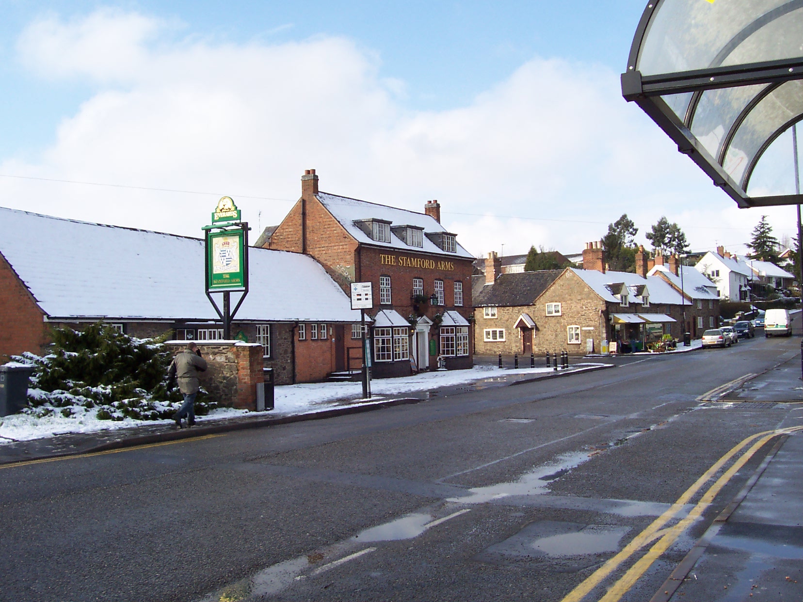
Groby
Groby (pronounced "GROO-bee" ) is a village in the Hinckley and Bosworth borough Leicestershire, England. It is to the north west of Leicester. The population...

Brookvale High School
Brookvale High School, opened 1976, was a mixed middle school in the village of Groby in Leicestershire, England, providing education for students aged...
Nearby Amenities
Located within 500m of 52.668553,-1.2514876Have you been to Alder Spinney?
Leave your review of Alder Spinney below (or comments, questions and feedback).