Carter's Rough
Wood, Forest in Leicestershire Hinckley and Bosworth
England
Carter's Rough

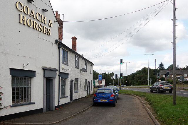
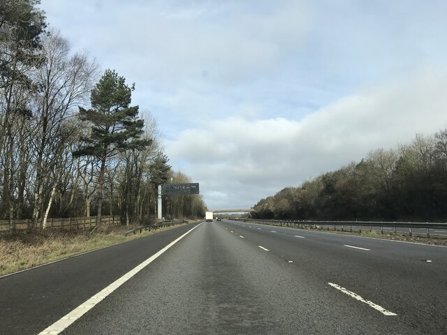
Carter's Rough is a woodland area located in Leicestershire, England. Spread across a vast expanse of land, this forest is known for its natural beauty and rich biodiversity. The wood is situated near the town of Coalville and is easily accessible for visitors.
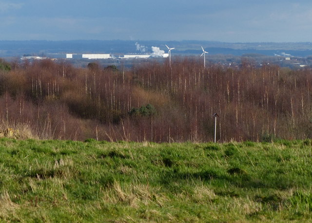
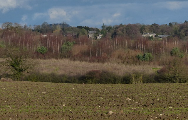
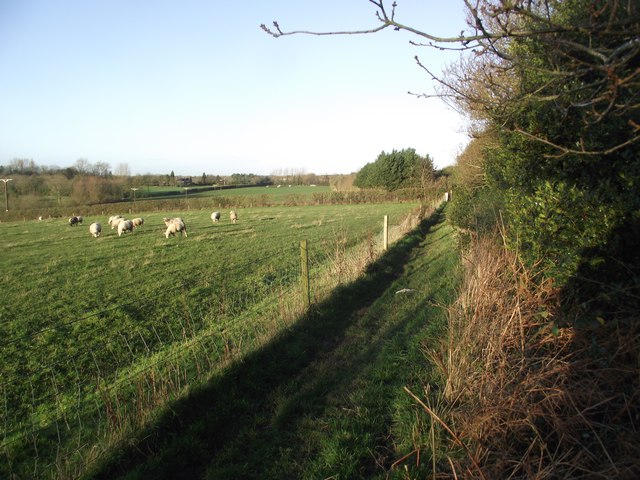
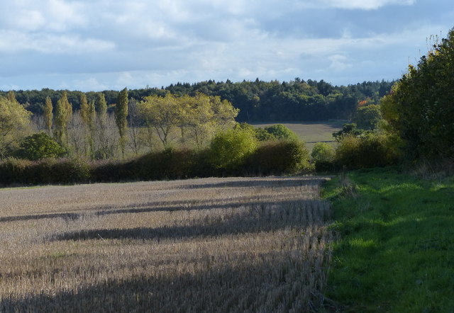
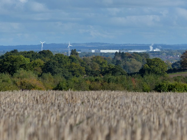
The terrain of Carter's Rough is predominantly hilly, with large stretches of dense woodland interspersed with open clearings. The forest is home to a diverse range of plant and animal species, making it a popular spot for nature enthusiasts. Visitors can expect to find a variety of trees, including oak, beech, and birch, which provide a picturesque backdrop throughout the year.
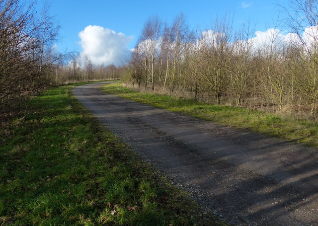
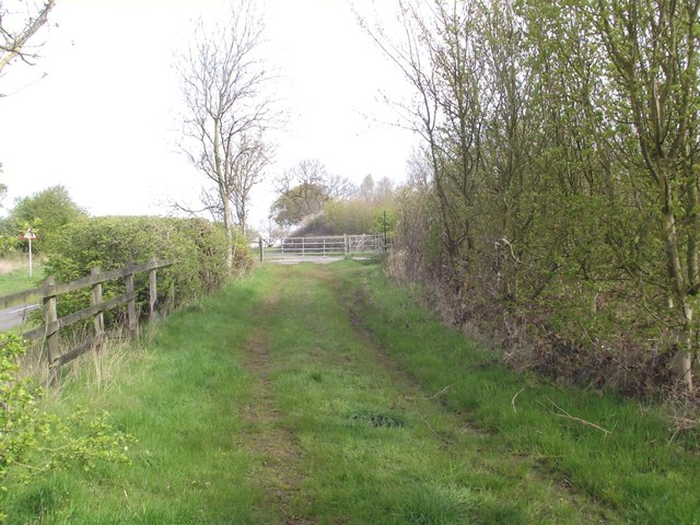
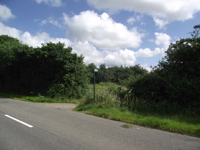
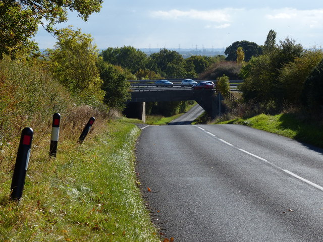
The forest is crisscrossed with well-maintained footpaths, allowing visitors to explore its depths and immerse themselves in the tranquil surroundings. These paths are suitable for walkers of all abilities, making Carter's Rough a great destination for families and individuals alike.
In addition to its natural beauty, Carter's Rough also offers a range of recreational activities. There are designated picnic areas where visitors can enjoy a leisurely meal amidst the stunning scenery. The forest is also a haven for wildlife, with numerous bird species and small mammals calling it their home.
Overall, Carter's Rough is a serene woodland area that offers a perfect escape from the hustle and bustle of daily life. Whether one is seeking a peaceful walk, a picnic with loved ones, or a chance to observe local wildlife, this forest provides an idyllic setting for all.
If you have any feedback on the listing, please let us know in the comments section below.
Carter's Rough Images
Images are sourced within 2km of 52.672911/-1.2511321 or Grid Reference SK5008. Thanks to Geograph Open Source API. All images are credited.


Carter's Rough is located at Grid Ref: SK5008 (Lat: 52.672911, Lng: -1.2511321)
Administrative County: Leicestershire
District: Hinckley and Bosworth
Police Authority: Leicestershire
What 3 Words
///huddling.skyrocket.servers. Near Markfield, Leicestershire
Nearby Locations
Related Wikis

Bradgate House, Groby
Bradgate House is a 19th-century ruin in Groby, Leicestershire, England. Built in 1856 for the seventh Earl of Stamford, George Harry Grey, it was intended...

Groby Pool and Woods
Groby Pool and Woods is a 29 hectare biological Site of Special Scientific Interest north of Groby in Leicestershire.Groby Pool is the largest natural...
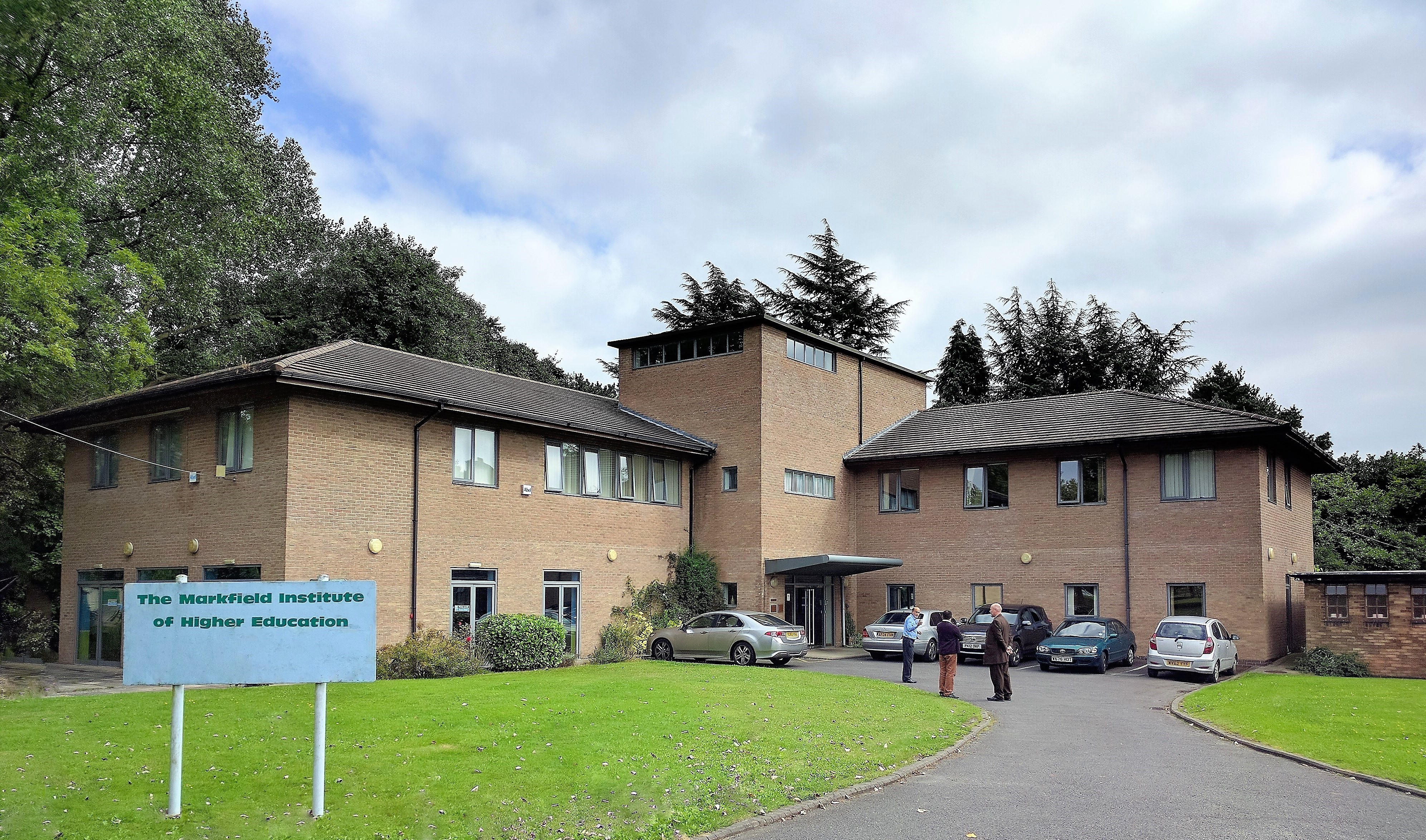
Markfield Institute of Higher Education
The Markfield Institute of Higher Education is an educational institution based in Leicestershire, in the United Kingdom. Specialising in Islamic subjects...
The Islamic Foundation
The Islamic Foundation (Urdu: موَسسہَ اسلامی, also called the Islamic Foundation UK) is Jamaat-e-Islami's research and publishing house in the United Kingdom...

Field Head
Field Head is a small settlement along the A511 on the edge of the Charnwood Forest in the Hinckley and Bosworth district of Leicestershire, England. It...

Sheet Hedges Wood
Sheet Hedges Wood is in the parish of Newtown Linford, and lies some 1-mile (1.6 km) north of Groby, in Leicestershire, UK. The site is made up of two...
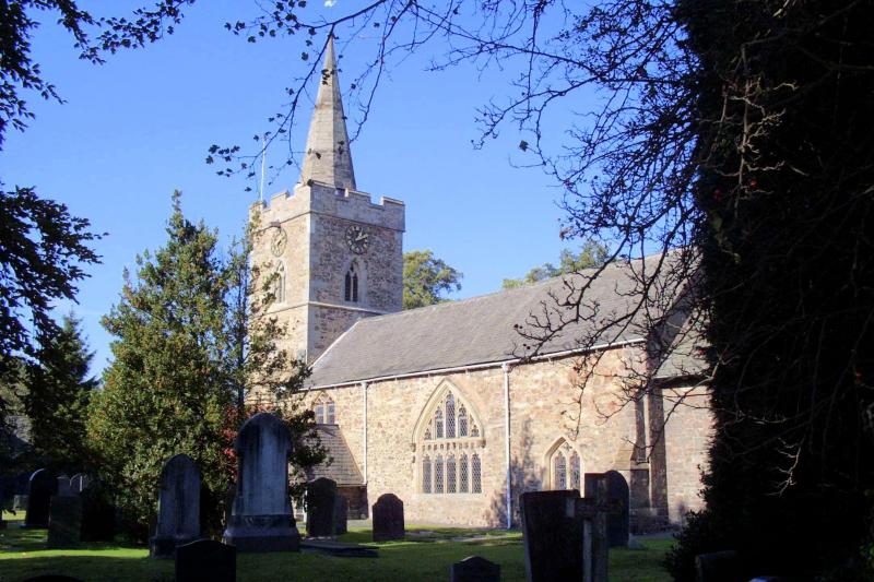
Newtown Linford
Newtown Linford is a linear village in Leicestershire, England. The population of the civil parish was 1,000 at the 2001 census, including Ulverscroft...

Groby Castle
Groby Castle is situated in the large village of Groby to the north-west of the city of Leicester, England. == History == After the Norman Conquest, the...
Nearby Amenities
Located within 500m of 52.672911,-1.2511321Have you been to Carter's Rough?
Leave your review of Carter's Rough below (or comments, questions and feedback).