Valley Plantation

Wood, Forest in Yorkshire

England

Valley Plantation

Busy Bees Diner-A1 Derelict cafe at Service Station.
Busy Bees Diner-A1 Credit: Ian Rob

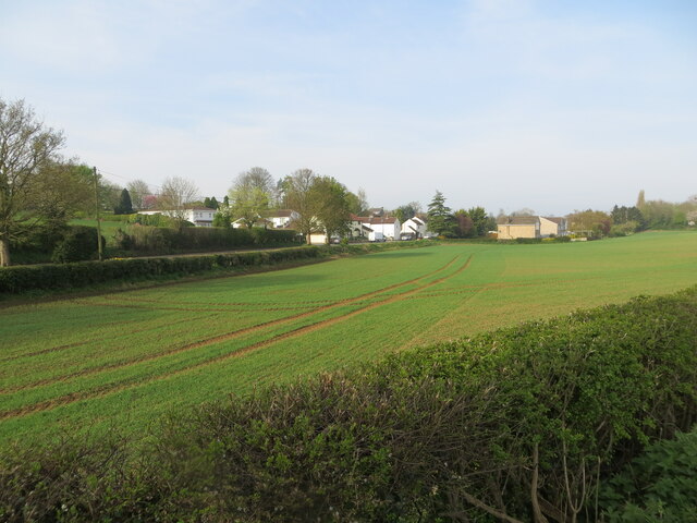
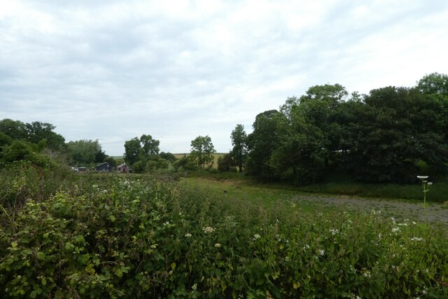
Valley Plantation, located in Yorkshire, England, is a serene woodland area known for its lush greenery and picturesque landscapes. Covering a vast area, the plantation is situated within the heart of the county, surrounded by rolling hills and meandering streams.

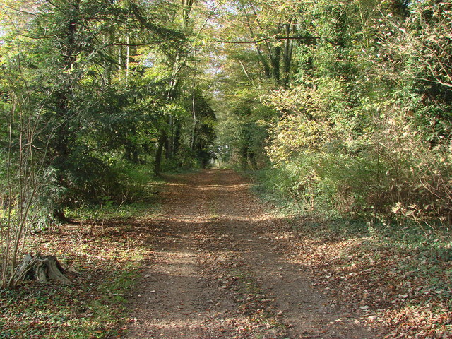
The plantation is predominantly composed of various species of trees, including oak, beech, and birch, which provide a rich and diverse habitat for wildlife. The dense forest canopy creates a tranquil and secluded atmosphere, making it a popular destination for nature enthusiasts and hikers seeking solace in the great outdoors.

Walking through Valley Plantation, visitors can enjoy the sights and sounds of nature at its best. The woodland is home to an array of wildlife, such as deer, rabbits, and various species of birds, making it a haven for birdwatchers and wildlife photographers.

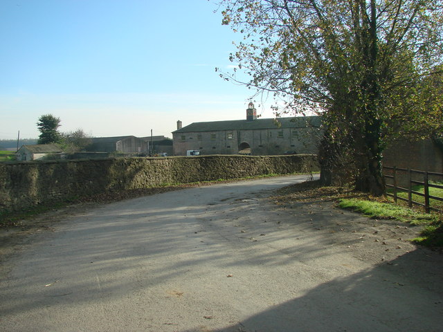
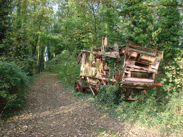
The plantation is also a place of historical significance, with remnants of ancient structures and historical markers scattered throughout. These remnants serve as a testament to the rich heritage of the area and provide a glimpse into the past for those interested in local history.

Valley Plantation offers numerous walking trails and well-maintained paths, allowing visitors to explore the beauty of the woodland at their own pace. From leisurely strolls to more challenging hikes, there is something for everyone to enjoy.

Overall, Valley Plantation is a haven of natural beauty and tranquility, offering visitors a unique opportunity to immerse themselves in the stunning landscapes of Yorkshire's woodlands.

If you have any feedback on the listing, please let us know in the comments section below.

Valley Plantation Images

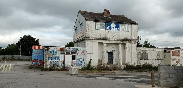
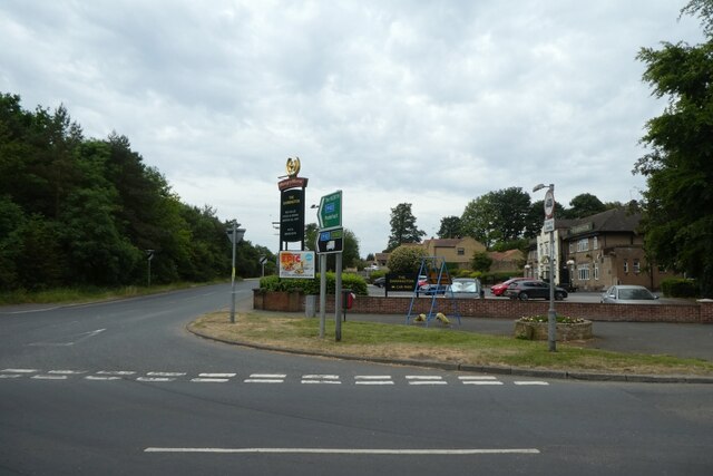
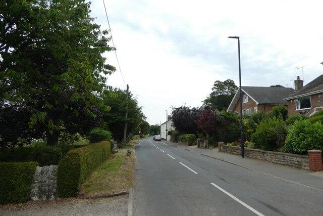
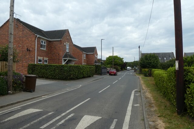
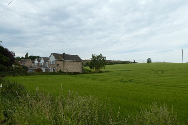
Images are sourced within 2km of 53.676274/-1.24504 or Grid Reference SE4920. Thanks to Geograph Open Source API. All images are credited.

Busy Bees Diner-A1 Derelict cafe at Service Station.
Busy Bees Diner-A1
Derelict cafe at Service Station.
Postbox on Valley Road, Darrington
Valley Gardens off Valley Road Darrington
A1 goes over Valley Road, Darrington
View over a cultivated field to Darrington Looking south-westward from Havercroft Lane.
View over a cultivated field to Darrington
Looking south-westward from Havercroft Lane.
Darrington services car park and West Park Drive The housing beyond the car park is on West Park Drive which leads across to Stapleton. View from footbridge.
Darrington services car park and West Park Drive
The housing beyond the car park is on West Park Drive which leads across to Stapleton. View from footbridge.
Phone box in Darrington The phone box now houses a defibrillator. The road is Estcourt Road at the junction with Manor Park Rise.
Phone box in Darrington
The phone box now houses a defibrillator. The road is Estcourt Road at the junction with Manor Park Rise.
A1 bridge in Darrington The bridge carries the A1 over Estcourt Road.
A1 bridge in Darrington
The bridge carries the A1 over Estcourt Road.
The Darrington A pub on the corner of Estcourt Road and the Old Great North Road.
The Darrington
A pub on the corner of Estcourt Road and the Old Great North Road.
Valley Road Looking along Valley Road to the east of the A1 in Darrington.
Valley Road
Looking along Valley Road to the east of the A1 in Darrington.
Along Valley Road Looking along Valley Road in Darrington to the east of the A1.
Along Valley Road
Looking along Valley Road in Darrington to the east of the A1.
Houses on the edge of Darrington Looking across farmland to the north of Valley Road.
Houses on the edge of Darrington
Looking across farmland to the north of Valley Road.
County boundary along Bank Wood Road The footpath leads to Leys Road.
County boundary along Bank Wood Road
The footpath leads to Leys Road.
Field beside Bank Wood Road Looking into a field of sheep north of the road.
Field beside Bank Wood Road
Looking into a field of sheep north of the road.
A1 southbound, south of Darrington Slow-moving traffic was entering a stretch of roadworks: repairs on the Wentbridge viaduct required the closure of one carriageway and the operation of a contraflow, with delays on the approach to the point at which two lanes compressed down into one.
A1 southbound, south of Darrington
Slow-moving traffic was entering a stretch of roadworks: repairs on the Wentbridge viaduct required the closure of one carriageway and the operation of a contraflow, with delays on the approach to the point at which two lanes compressed down into one.
Stapleton Park Farm
Stapleton Park Farm
Abandoned farm machinery, Stapleton Park
Track through Stapleton Park
Show me another place!

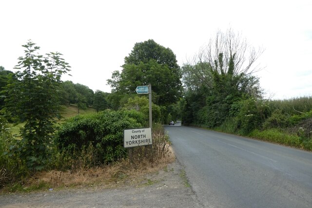
Valley Plantation is located at Grid Ref: SE4920 (Lat: 53.676274, Lng: -1.24504)

Division: West Riding

Unitary Authority: Wakefield

Police Authority: West Yorkshire

What 3 Words

///sheepish.unfilled.simmer. Near Darrington, West Yorkshire

Related Wikis

Darrington, West Yorkshire

Darrington is a small village and civil parish in the City of Wakefield in West Yorkshire, England, 3 miles (4.8 km) from Pontefract and 25 miles (40 km...

Pontefract North

Pontefract North is an electoral ward of the City of Wakefield district, used for elections to Wakefield Metropolitan District Council. == Overview... ==

Pontefract South

Pontefract South is an electoral ward of the City of Wakefield district, used for elections to Wakefield Metropolitan District Council. == Overview... ==

Stapleton, Selby

Stapleton is a village in the Selby district of North Yorkshire, England. The population taken at the 2011 Census was less than 100. Details are included...

Nearby Amenities

Located within 500m of 53.676274,-1.24504
Bank Wood Road Allotment Gardens
Naptan AtcoCode: 450028396
Naptan Bearing: W
Naptan BusStopType: CUS
Naptan CommonName: Bank Wood Road Allotment Gardens
Naptan Landmark: Unknown
Naptan ShortCommonName: Allotment Gardens
Naptan Street: Bank Wood Road
Naptan Verified: no
Source: naptan_import
Lat/Long: 53.6734174/-1.2485284
Generator Method: wind_turbine
Generator Source: wind
Power: generator
Lat/Long: 53.6745068/-1.241786
The data included in this document is from www.openstreetmap.org. The data is made available under ODbL.

Have you been to Valley Plantation?

Leave your review of Valley Plantation below (or comments, questions and feedback).