Hunters Wood
Wood, Forest in Yorkshire
England
Hunters Wood
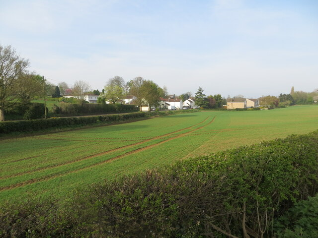
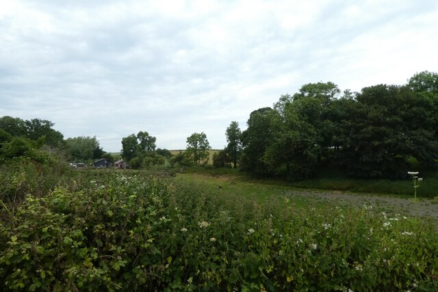
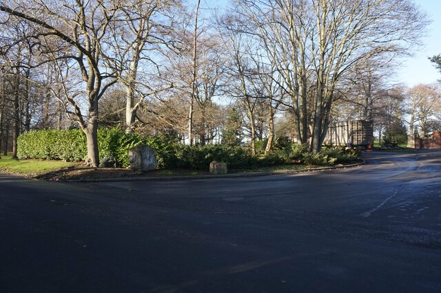
Hunters Wood is a picturesque woodland area located in Yorkshire, England. Situated in the heart of the county, this enchanting forest spans over a vast area, offering a serene and tranquil escape from the bustling city life.
The wood is renowned for its diverse range of flora and fauna, making it a haven for nature enthusiasts and wildlife lovers. Tall, majestic oak trees dominate the landscape, interspersed with beech, birch, and pine trees, creating a rich and vibrant canopy. The forest floor is carpeted with an array of wildflowers, adding bursts of color to the surroundings.
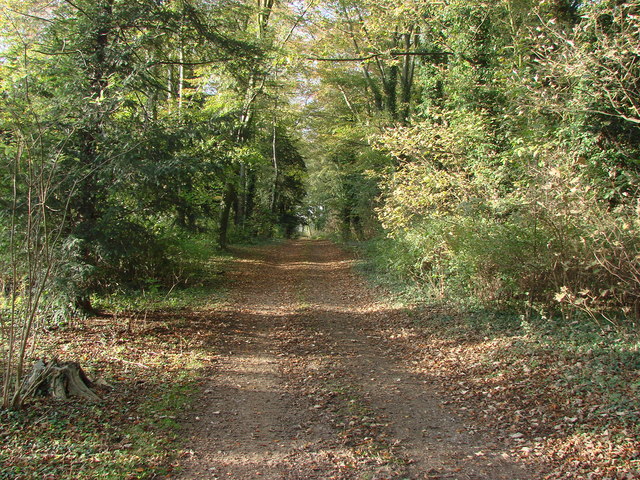
Numerous walking trails wind their way through Hunters Wood, inviting visitors to explore its hidden treasures. As one ventures deeper into the forest, they will encounter babbling brooks, meandering streams, and small ponds, creating a sense of tranquility and serenity.
The woodland is also home to a wide variety of wildlife. Birdwatchers can spot species such as woodpeckers, owls, and various songbirds, while lucky visitors may even catch a glimpse of deer, foxes, or squirrels scurrying through the undergrowth.
Hunters Wood is a popular destination for outdoor activities such as hiking, picnicking, and photography. The peaceful surroundings provide the perfect backdrop for capturing the beauty of nature. Additionally, the wood offers several designated camping spots for those who wish to spend a night under the stars, surrounded by the soothing sounds of the forest.
Overall, Hunters Wood in Yorkshire is a captivating destination for nature lovers, offering a unique blend of tranquility, beauty, and wildlife.
If you have any feedback on the listing, please let us know in the comments section below.
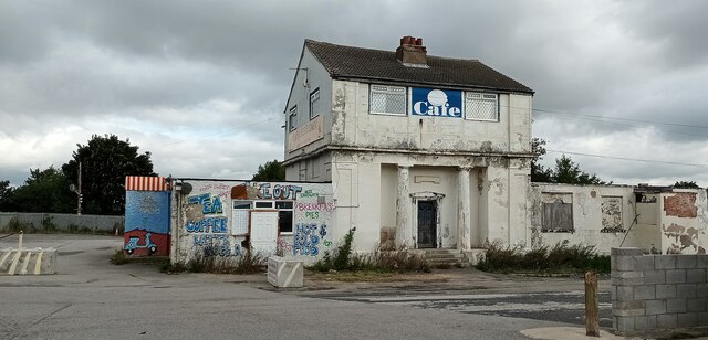
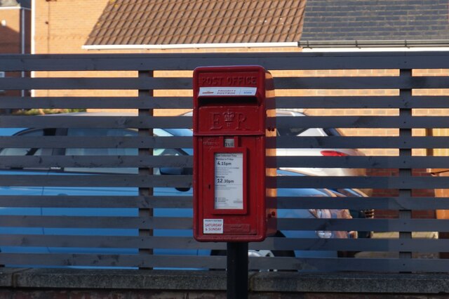
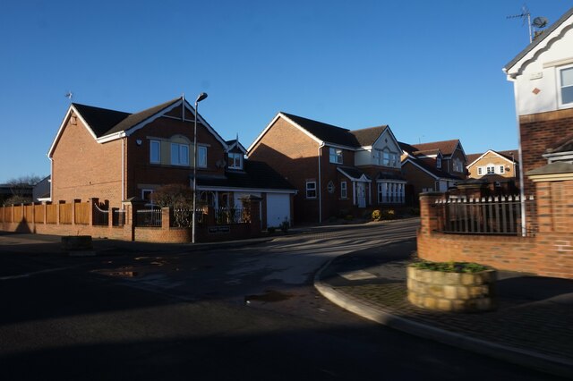
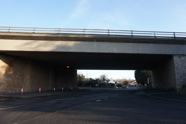
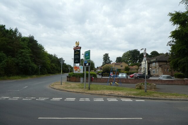
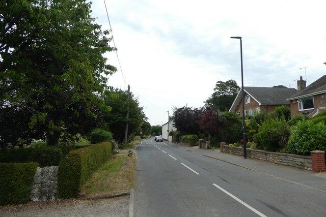
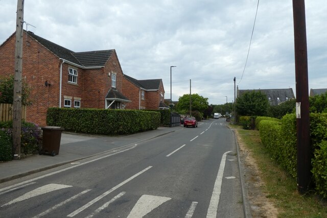
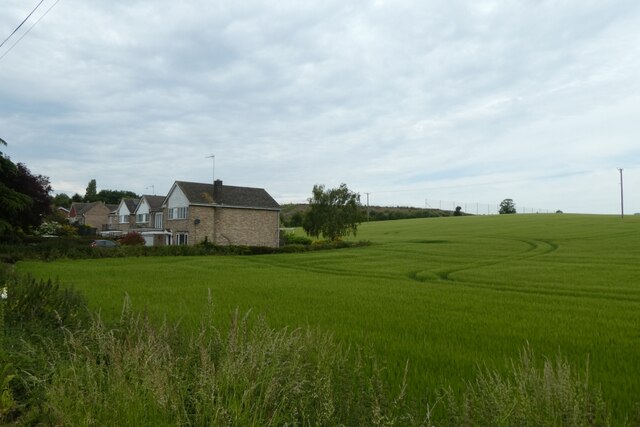
Hunters Wood Images
Images are sourced within 2km of 53.680636/-1.2570134 or Grid Reference SE4920. Thanks to Geograph Open Source API. All images are credited.
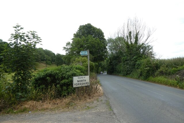

Hunters Wood is located at Grid Ref: SE4920 (Lat: 53.680636, Lng: -1.2570134)
Division: West Riding
Unitary Authority: Wakefield
Police Authority: West Yorkshire
What 3 Words
///shunts.grass.patio. Near Darrington, West Yorkshire
Nearby Locations
Related Wikis

Pontefract North
Pontefract North is an electoral ward of the City of Wakefield district, used for elections to Wakefield Metropolitan District Council. == Overview... ==
Pontefract South
Pontefract South is an electoral ward of the City of Wakefield district, used for elections to Wakefield Metropolitan District Council. == Overview... ==

Darrington, West Yorkshire
Darrington is a small village and civil parish in the City of Wakefield in West Yorkshire, England, 3 miles (4.8 km) from Pontefract and 25 miles (40 km...

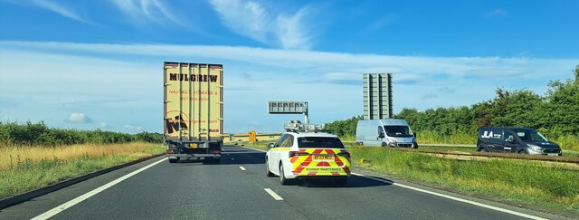
Ferrybridge services
Ferrybridge services is a motorway services area (MSA) operated by Moto named after Ferrybridge in West Yorkshire, England. The site has easy access from...
Nearby Amenities
Located within 500m of 53.680636,-1.2570134Have you been to Hunters Wood?
Leave your review of Hunters Wood below (or comments, questions and feedback).