Withybed Copse
Wood, Forest in Hampshire
England
Withybed Copse
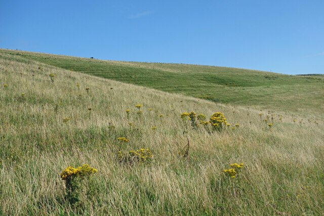
Withybed Copse is a picturesque woodland located in Hampshire, England. Spanning approximately 20 acres, this enchanting forest is a haven of natural beauty and tranquility. The copse is characterized by its dense canopy of mature trees, predominantly consisting of oak, beech, and ash, which create a shady and inviting atmosphere.
The forest floor is covered in a carpet of lush green moss, interspersed with vibrant wildflowers, ferns, and bracken. This diverse undergrowth provides a rich habitat for a variety of wildlife, including small mammals, birds, and insects. It is not uncommon to spot squirrels scampering through the treetops or hear the gentle chirping of woodland birds.
Withybed Copse is crisscrossed with a network of winding footpaths, which allow visitors to explore the woodland at their leisure. These paths lead to hidden nooks and crannies, where one can find secluded picnic spots or simply sit and admire the natural beauty of the surroundings.
The copse is also home to a small babbling stream that meanders through the trees, adding to the peaceful ambiance and offering a refreshing spot for visitors to relax and enjoy the sounds of nature.
Withybed Copse is a popular destination for nature enthusiasts, walkers, and families seeking a tranquil escape from the hustle and bustle of everyday life. Its idyllic setting and abundance of wildlife make it a truly magical place to visit and experience the wonders of Hampshire's natural landscape.
If you have any feedback on the listing, please let us know in the comments section below.
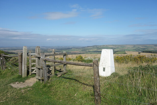
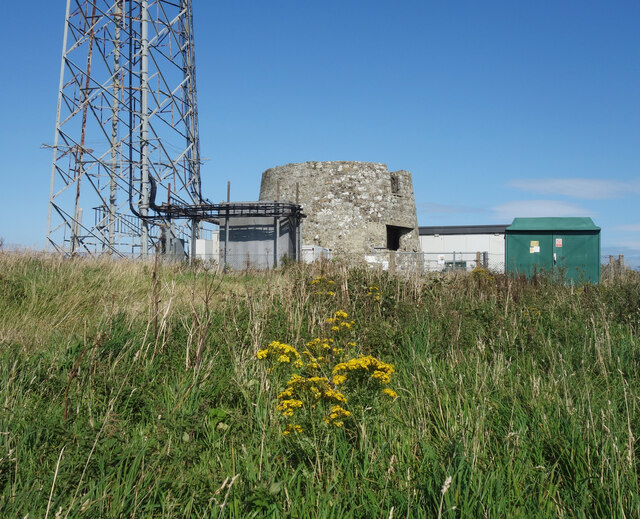
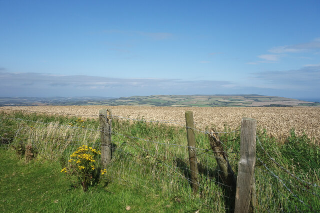
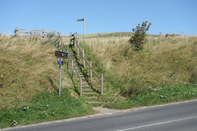
Withybed Copse Images
Images are sourced within 2km of 50.604277/-1.2953343 or Grid Reference SZ4978. Thanks to Geograph Open Source API. All images are credited.


Withybed Copse is located at Grid Ref: SZ4978 (Lat: 50.604277, Lng: -1.2953343)
Unitary Authority: Isle of Wight
Police Authority: Hampshire
What 3 Words
///trend.tungsten.stopped. Near Niton, Isle of Wight
Nearby Locations
Related Wikis

St Catherine's Oratory
St. Catherine's Oratory is a medieval lighthouse on St. Catherine's Down, above the southern coast of the Isle of Wight. It was built by Lord of Chale...
St. Catherine's Down
St. Catherine's Down is a chalk down on the Isle of Wight, located near St Catherine's Point, the southernmost point on the island. The Down rises to...
Chale
Chale is a village and civil parish on the Isle of Wight of England, in the United Kingdom. It is located three kilometres from Niton in the south of the...
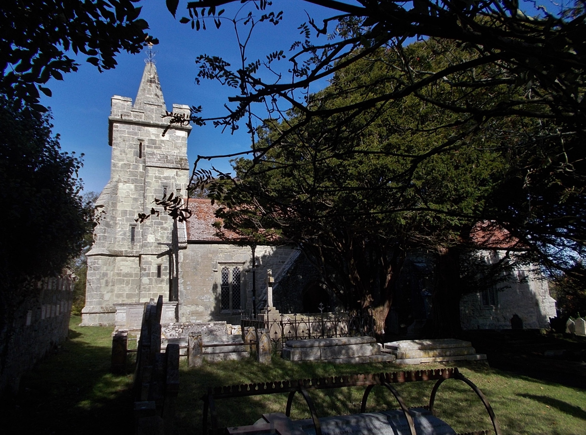
Church of St John the Baptist, Niton
The Church of St John the Baptist, Niton is a Church of England parish church in Niton, Isle of Wight. == History == The church was founded by William...
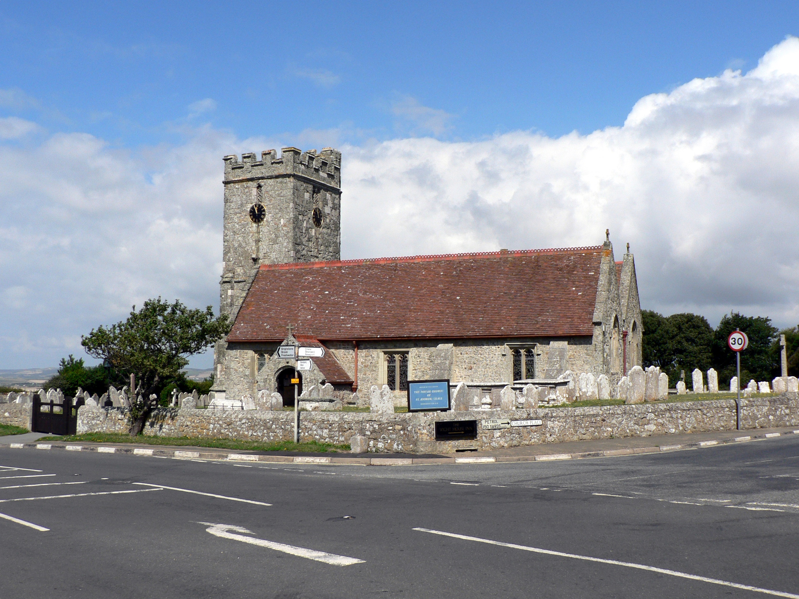
St Andrew's Church, Chale
St. Andrew's Church, Chale is a parish church in the Church of England located in Chale, Isle of Wight. == History == The church is medieval.It was founded...
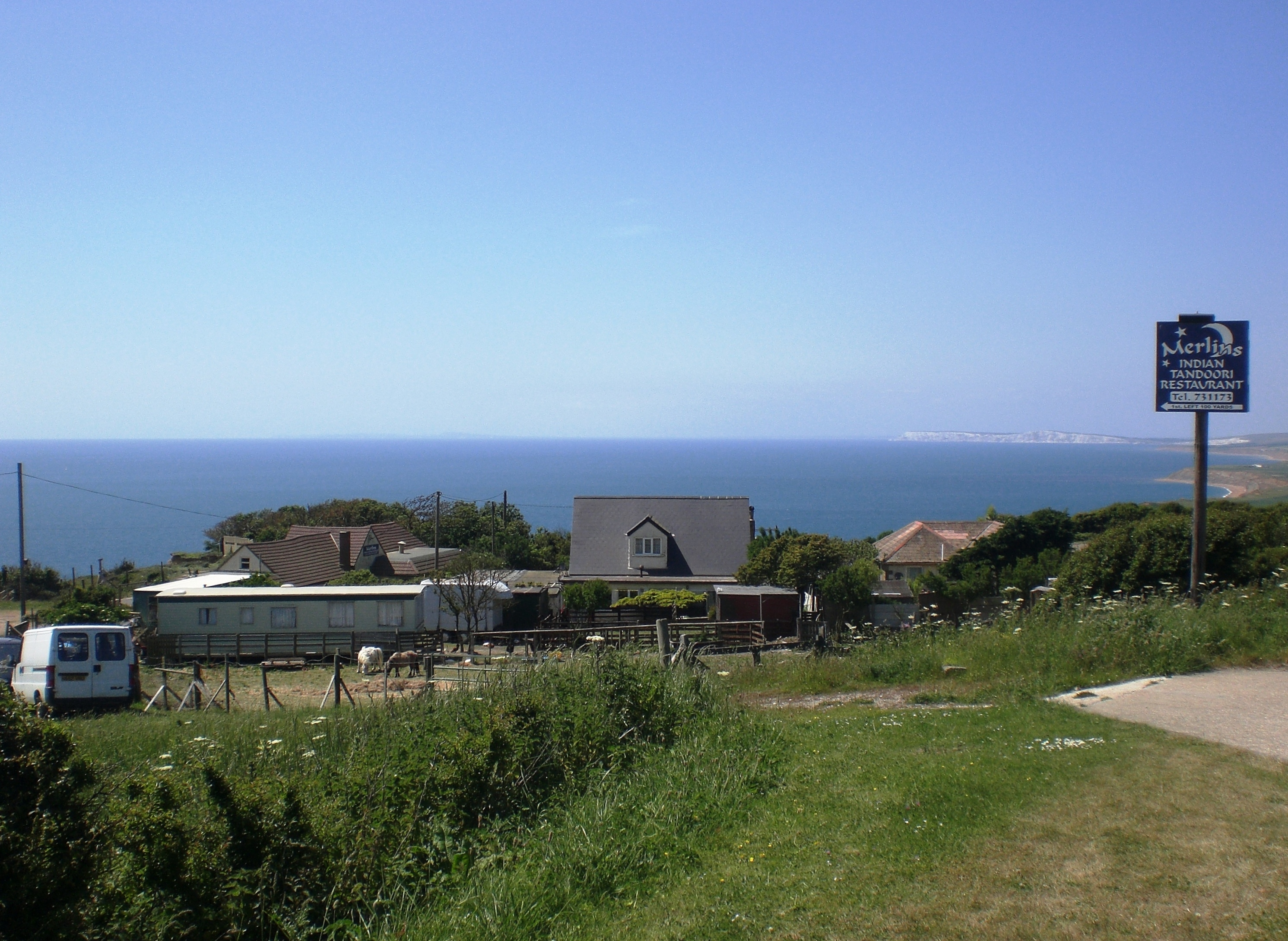
Blackgang
Blackgang is a village on the south-western coast of the Isle of Wight, England. It is best known as the location of the Blackgang Chine amusement park...

A3055 road
The A3055 is an A-Class Road on the Isle of Wight in Southern England. It forms the Southern portion of the circular around-the-Island A-class loop, the...

Bierley, Isle of Wight
Bierley is a hamlet on the Isle of Wight, UK. Bierley is in the south of the Isle of Wight, north of Niton and 0.7 miles to the west of Whitwell. Bierley...
Nearby Amenities
Located within 500m of 50.604277,-1.2953343Have you been to Withybed Copse?
Leave your review of Withybed Copse below (or comments, questions and feedback).