Chestnut Gully Wood

Wood, Forest in Hampshire Eastleigh

England

Chestnut Gully Wood

Impassable route This muddy puddle had thick hedges on both side, with no way around it. An alternative route had to be taken to get to Fair Oak.
Impassable route Credit: T Eyre

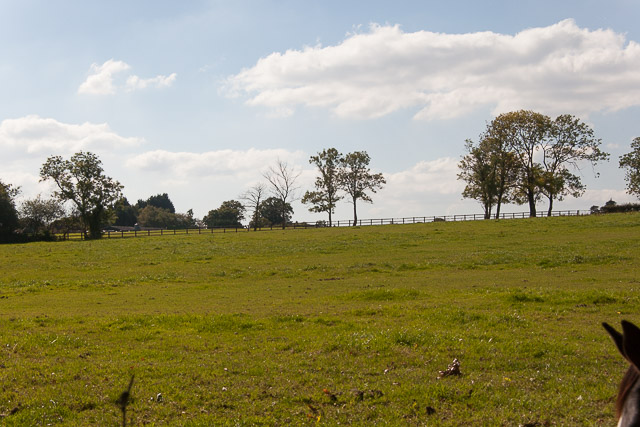
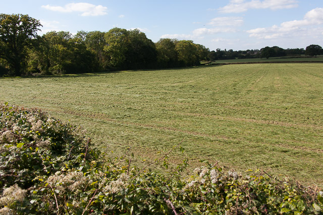
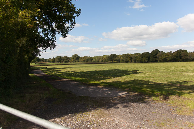
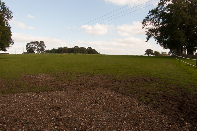
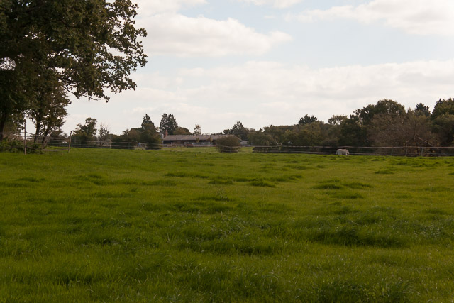
Chestnut Gully Wood is a captivating forest located in Hampshire, England. Spanning over a vast area, it is home to a diverse range of flora and fauna, making it a popular destination for nature enthusiasts and hikers alike.

The wood derives its name from the abundance of chestnut trees that dominate the landscape, providing a picturesque backdrop throughout the year. In spring, the forest comes alive with a burst of vibrant colors as an array of wildflowers bloom, creating a breathtaking sight for visitors. The dense foliage offers a welcome respite from the summer heat, providing a cool and refreshing environment.

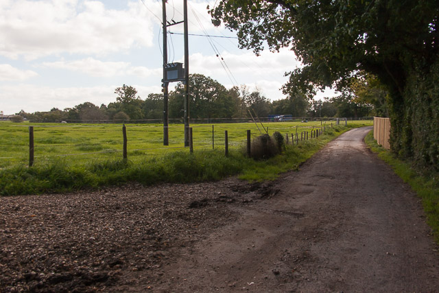
As one ventures deeper into the wood, they will discover a network of winding trails, each leading to hidden treasures waiting to be explored. The woodland floor is carpeted with a rich tapestry of mosses and ferns, while ancient trees with gnarled trunks stand as silent witnesses to the passage of time.

The wood is also home to a variety of wildlife, including deer, foxes, and a plethora of bird species. Birdwatchers can spend hours observing these feathered creatures in their natural habitat, capturing rare and remarkable sightings.

Visitors to Chestnut Gully Wood can partake in various activities such as hiking, picnicking, and photography. The tranquil atmosphere and pristine beauty of the forest provide an ideal escape from the bustling city life, allowing individuals to reconnect with nature and find solace in its serenity.

In conclusion, Chestnut Gully Wood is a captivating and enchanting forest in Hampshire, offering a sanctuary of natural beauty and tranquility for all who venture within its borders.

If you have any feedback on the listing, please let us know in the comments section below.

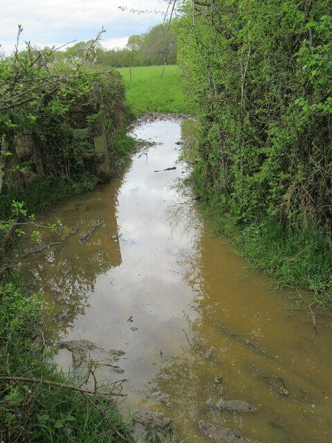
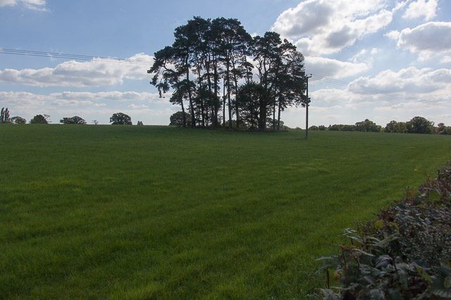
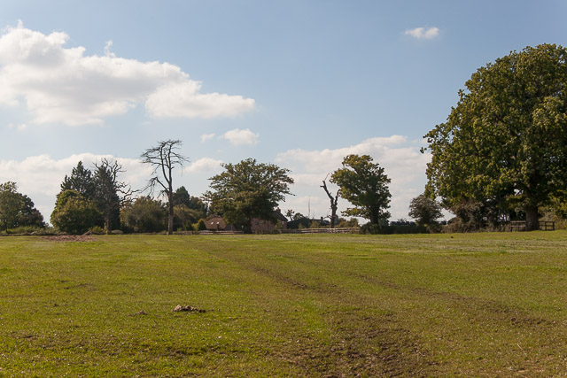
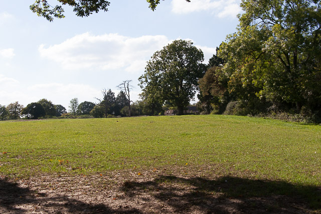
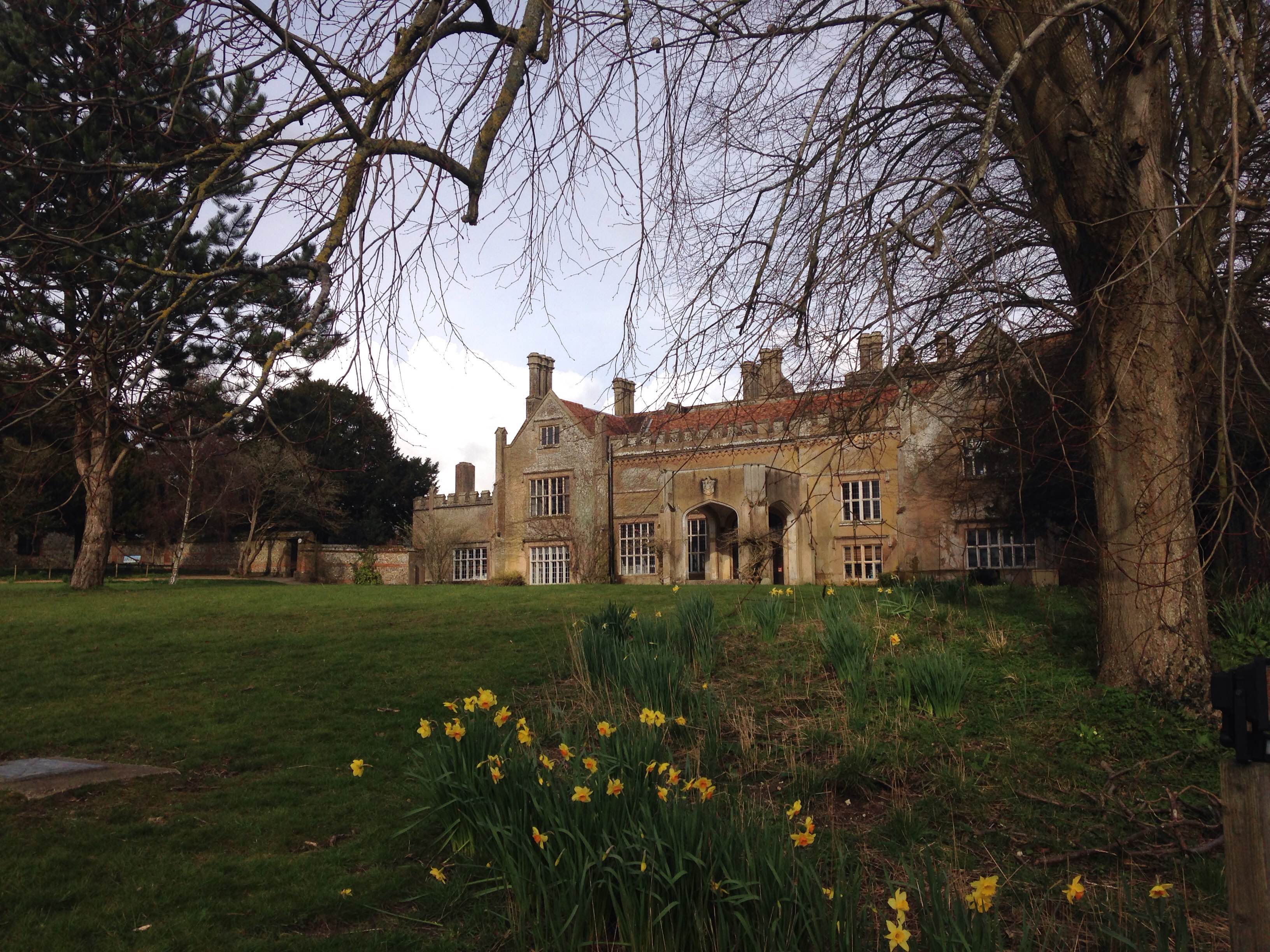
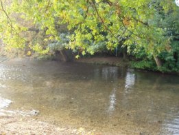
Chestnut Gully Wood Images

Images are sourced within 2km of 50.979345/-1.296868 or Grid Reference SU4920. Thanks to Geograph Open Source API. All images are credited.

Impassable route This muddy puddle had thick hedges on both side, with no way around it. An alternative route had to be taken to get to Fair Oak.
Impassable route
This muddy puddle had thick hedges on both side, with no way around it. An alternative route had to be taken to get to Fair Oak.
Trees in field on Hall Lands Farm TEST TEXT PLEASE DO NOT AMEND. WILL BE REPLACED BY PROPER DESCRIPTION LATER.
lambda as numeric code λ and lambda as character ref λ also; lambda is not in windows-1252. dagger as numeric code † and dagger as character ref † also; dagger is in windows-1252 but not in iso-8859-1.
Trees in field on Hall Lands Farm
TEST TEXT PLEASE DO NOT AMEND. WILL BE REPLACED BY PROPER DESCRIPTION LATER. lambda as numeric code λ and lambda as character ref λ also; lambda is not in windows-1252. dagger as numeric code † and dagger as character ref † also; dagger is in windows-1252 but not in iso-8859-1.
Looking towards Pembers Hill Farm Seen from footpath. The Little Dower House is off-picture to the right of the big tree.
Looking towards Pembers Hill Farm
Seen from footpath. The Little Dower House is off-picture to the right of the big tree.
Looking towards The Little Dower House From footpath.
Looking towards The Little Dower House
From footpath.
Field south of Tippers Copse With barn of Pembers Hill Farm in distance. Seen from footpath.
Field south of Tippers Copse
With barn of Pembers Hill Farm in distance. Seen from footpath.
Field and Hall Lands Copse Seen from footpath over Hall Lands Lane.
Field and Hall Lands Copse
Seen from footpath over Hall Lands Lane.
Field north of Hall Lands Copse Seen from footpath over Hall Lands Lane
Field north of Hall Lands Copse
Seen from footpath over Hall Lands Lane
Hall Lands Lane As it passes Hall Lands House on the right.
Hall Lands Lane
As it passes Hall Lands House on the right.
Field east of Hall Lands House With Tippers Copse visible on the horizon.
Field east of Hall Lands House
With Tippers Copse visible on the horizon.
Field east of Hall Lands House With barn of Pembers Hill Farm in distance.
Field east of Hall Lands House
With barn of Pembers Hill Farm in distance.
Hall Lands Lane Looking NE
Hall Lands Lane
Looking NE
B3037 Mortimers Lane Heading towards Bishopstoke and Eastleigh.
B3037 Mortimers Lane
Heading towards Bishopstoke and Eastleigh.
B3037 Mortimers Lane Heading into Fairoak.
B3037 Mortimers Lane
Heading into Fairoak.
Bridleway near Park Hills Wood
Path in Knowle Hill Conservation Site
Path on the edge of Park Hills Wood Well, just about a path if you can take big enough steps through the long grass!
Path on the edge of Park Hills Wood
Well, just about a path if you can take big enough steps through the long grass!
Hall Lands Lane
Hall Lands Lane
Show me another place!

Chestnut Gully Wood is located at Grid Ref: SU4920 (Lat: 50.979345, Lng: -1.296868)

Administrative County: Hampshire

District: Eastleigh

Police Authority: Hampshire

What 3 Words

///ears.eagle.stray. Near Colden Common, Hampshire

Related Wikis

Fair Oak

Fair Oak is a large village to the east of the town of Eastleigh in Hampshire, England. Together with the village of Horton Heath, which lies to the south...

Marwell College

Marwell College was a college of secular priests in Marwell Park, Owslebury, Hampshire, England. Marwell was sometimes spelled Merwell or Merewell. The...

Marwell Zoo

Marwell Zoo is a 140-acre (57 ha) zoo situated in Colden Common near Winchester, in the English county of Hampshire. It is owned and run by the registered...

Wyvern College, Eastleigh

Wyvern College is a [private education|coeducational]] secondary school with academy status for students in the villages of Fair Oak, Bishopstoke, Horton...

The King's School, Fair Oak

The King's School, on Allington Lane in Fair Oak, Hampshire, is an independent Christian faith school with 229 pupils As of 2023. The school was founded...

Fair Oak Lodge

Fair Oak Lodge is a former country house in the village of Fair Oak, Hampshire. Much of the original estate has been built upon with modern housing, but...

Colden Common

Colden Common is a civil parish in the Winchester District of Hampshire, England, approximately 5 miles south of the city of Winchester, covering an area...

Bishopstoke

Bishopstoke is a village and civil parish in the Eastleigh district of Hampshire, England. It is recorded as "Stoke" as early as 948 AD when King Eadred...

Nearby Amenities

Located within 500m of 50.979345,-1.296868
Barrier: stile
Source: survey
Lat/Long: 50.9815116/-1.2980823
Power: tower
Ref: 4YC 49
Source Ref: extrapolation
Lat/Long: 50.9815735/-1.3017519
Bus Stop
Hill Close
Bus: yes
Naptan AtcoCode: 1900HA030279
Naptan Bearing: S
Naptan CommonName: Hill Close
Naptan Crossing: Hill Close
Naptan NaptanCode: hamdjdwd
Naptan Street: B3354 Winchester Road
Naptan Verified: no
Public Transport: platform
Shelter: no
Source: naptan_import
Lat/Long: 50.977674/-1.3030284
Bus Stop
Hill Close
Bench: yes
Bus: yes
Naptan AtcoCode: 1900HA030280
Naptan Bearing: N
Naptan CommonName: Hill Close
Naptan Crossing: Hill Close
Naptan NaptanCode: hamdjdtp
Naptan Street: B3354 Winchester Road
Naptan Verified: no
Public Transport: platform
Shelter: no
Source: naptan_import
Lat/Long: 50.977866/-1.3033033
Post Box
Collection Plate: CP7
Collection Times: Mo-Fr 16:00; Sa 09:00
Ele: 112.000000
Operator: Royal Mail
Operator Wikidata: Q638098
Post Box Type: lamp
Ref: SO50 183
Royal Cypher: EIIR
Royal Cypher Wikidata: Q33102113
Lat/Long: 50.9781166/-1.3031936
Power: tower
Ref: 4YC 51
Source: bing
Source Ref: extrapolation
Lat/Long: 50.9789434/-1.29231
Power: tower
Ref: 4YC 50
Source: bing
Source Ref: extrapolation
Lat/Long: 50.9802466/-1.2967763
Barrier: kissing_gate
Source: survey
Lat/Long: 50.9833975/-1.2944174
Crowdhill
Place: village
Lat/Long: 50.9778507/-1.3028365
The data included in this document is from www.openstreetmap.org. The data is made available under ODbL.

Have you been to Chestnut Gully Wood?

Leave your review of Chestnut Gully Wood below (or comments, questions and feedback).