Cattens Rough
Wood, Forest in Leicestershire North West Leicestershire
England
Cattens Rough
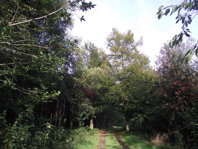
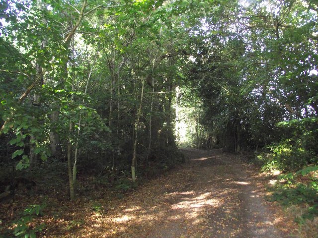
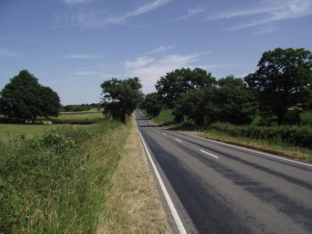
Cattens Rough is a scenic woodland area located in Leicestershire, England. Situated in the heart of the county, it covers an area of approximately 200 acres and is known for its natural beauty and diverse ecosystem. The rough is primarily composed of a mix of deciduous and coniferous trees, creating a picturesque forested landscape.
The woodland features a variety of tree species, including oak, beech, birch, and pine, among others. These trees provide shelter and habitat for an array of wildlife, making Cattens Rough a haven for nature enthusiasts and wildlife photographers. Visitors may catch a glimpse of deer, foxes, badgers, and a wide range of bird species while exploring the area.
Trails and footpaths wind through the rough, allowing visitors to explore the woodland and discover its hidden treasures. These paths are well-maintained and provide a pleasant walking experience for both casual strollers and more avid hikers. The undulating terrain offers some moderate challenges, making it an ideal spot for those seeking a bit of adventure.
Cattens Rough is also home to a small pond, adding to the beauty and diversity of the area. The pond attracts various amphibians and aquatic insects, providing an additional interest for nature lovers. It is a peaceful spot to sit and observe the tranquility of the surroundings.
Overall, Cattens Rough in Leicestershire is a must-visit destination for those who appreciate the beauty of nature. With its lush greenery, diverse wildlife, and serene atmosphere, it offers a delightful escape from the hustle and bustle of everyday life.
If you have any feedback on the listing, please let us know in the comments section below.
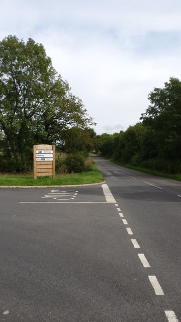
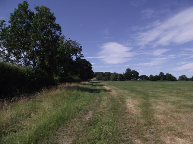
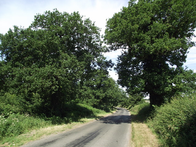
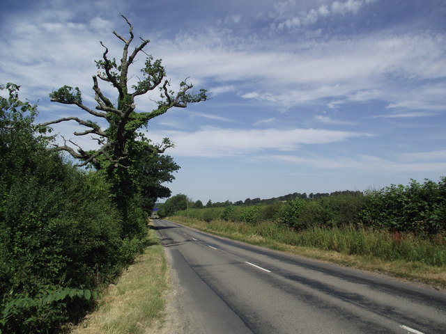
Cattens Rough Images
Images are sourced within 2km of 52.727987/-1.2690988 or Grid Reference SK4914. Thanks to Geograph Open Source API. All images are credited.


Cattens Rough is located at Grid Ref: SK4914 (Lat: 52.727987, Lng: -1.2690988)
Administrative County: Leicestershire
District: North West Leicestershire
Police Authority: Leicestershire
What 3 Words
///tame.sympathy.something. Near Shepshed, Leicestershire
Nearby Locations
Related Wikis

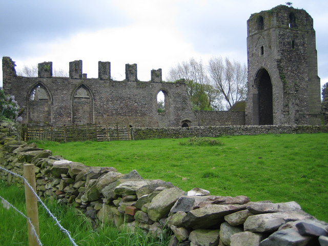
Aldermanshaw Priory
Aldermanshaw Priory is a former Cluniac Priory, located within the Charnwood Forest, in Leicestershire, England. == History == Aldermanshaw Priory was...
Felicity's Wood
Felicity's Wood is a woodland in Leicestershire, England, near the village of Woodhouse Eaves. It covers a total area of 8.77 hectares (21.67 acres). It...
Beacon Hill, Leicestershire
Beacon Hill, near Loughborough, in Leicestershire, England, is a popular country park. It is one of several beacon hills in the United Kingdom. It is part...
Charley Priory
Charley Priory was a small former priory in Leicestershire, England. == History == The exact date Charley Priory was established is unknown, but is at...

Charley Woods
Charley Woods is a 26.8 hectares (66 acres) nature reserve north of Copt Oak in Leicestershire. It is owned and managed by the Leicestershire and Rutland...

Oaks in Charnwood
Oaks in Charnwood is a hamlet of scattered houses in the English county of Leicestershire within the Charnwood Forest. Oaks in Charnwood is located in...

Charley, Leicestershire
Charley is a civil parish located in the North West Leicestershire district of Leicestershire, England. According to the 2001 census, it had a population...
Ulverscroft Priory
Ulverscroft Priory is a former hermitage and priory in Ulverscroft, Leicestershire. == History == The priory was founded by Robert de Beaumont, 2nd Earl...
Nearby Amenities
Located within 500m of 52.727987,-1.2690988Have you been to Cattens Rough?
Leave your review of Cattens Rough below (or comments, questions and feedback).