Bawdon Rough

Downs, Moorland in Leicestershire North West Leicestershire

England

Bawdon Rough

Charnwood Forrest Farm Entrance to the farm shop
Charnwood Forrest Farm Credit: Andrew Abbott

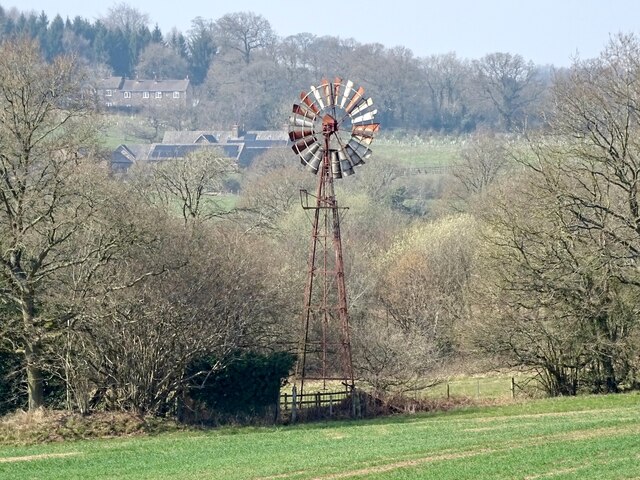
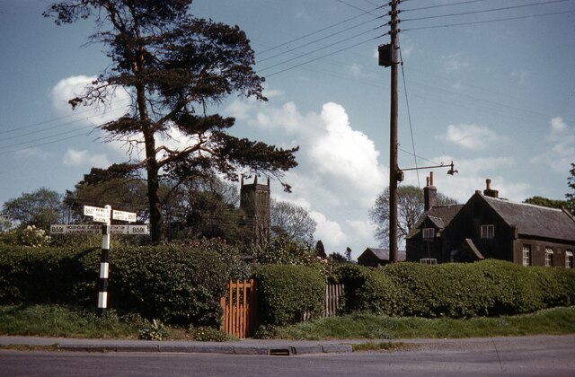
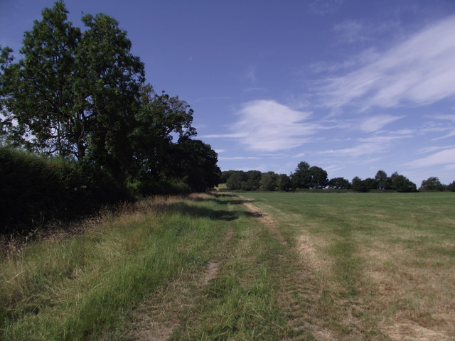
Bawdon Rough is a picturesque area located in Leicestershire, England. Situated on the outskirts of the village of Nanpantan, it is known for its stunning downs and moorland landscape. Covering an area of approximately 200 hectares, Bawdon Rough offers a unique mix of natural beauty and diverse wildlife.

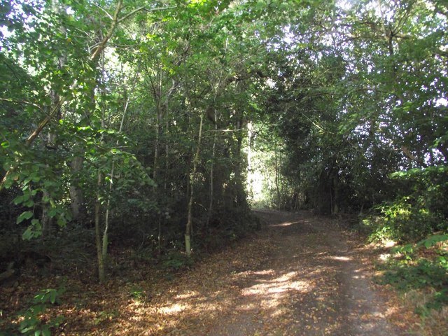
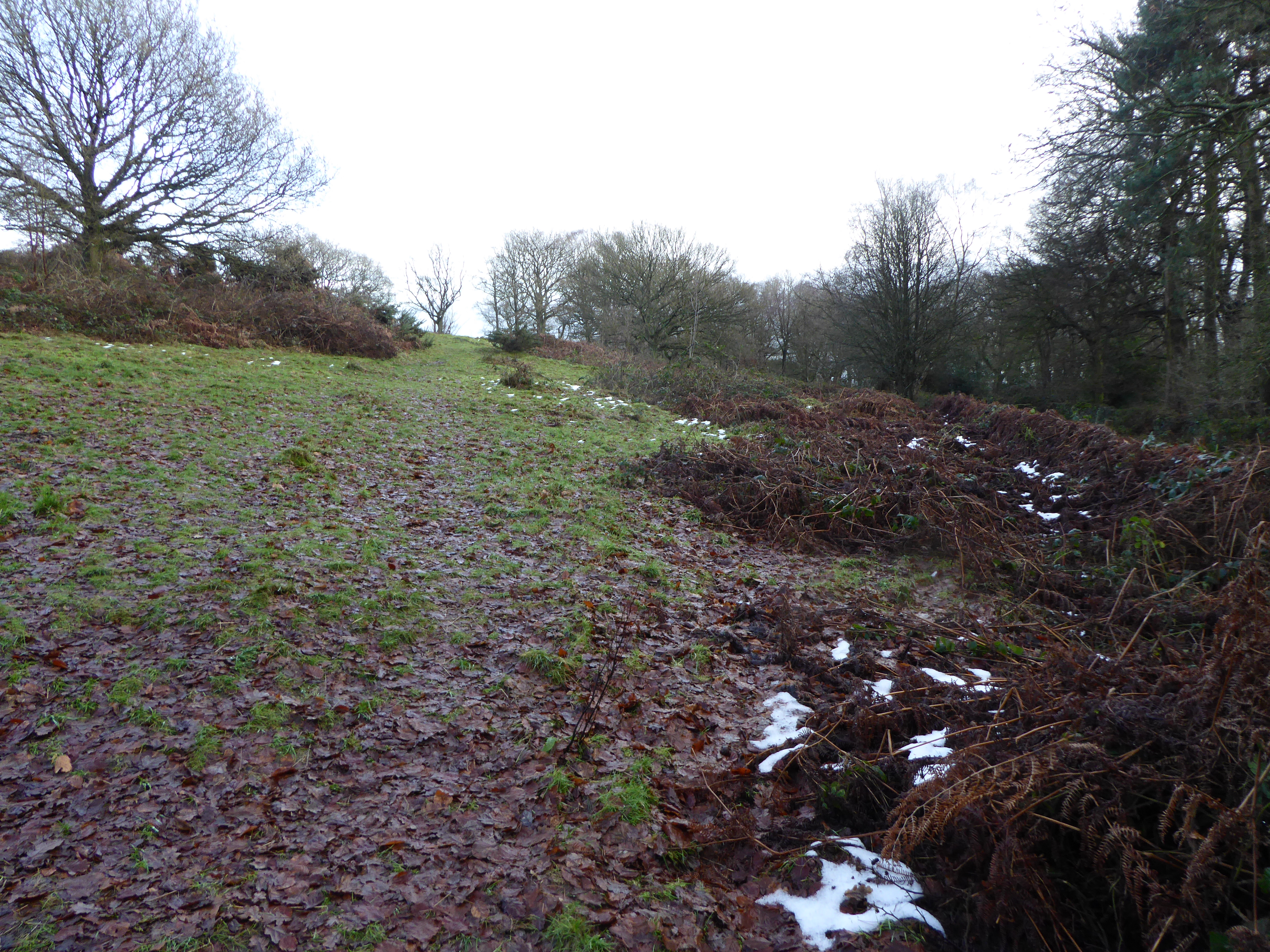
The downs of Bawdon Rough are characterized by their gently rolling hills, covered in a patchwork of grasses, heather, and wildflowers. These open spaces provide a haven for a variety of bird species, including skylarks and meadow pipits, which can often be heard singing their melodious tunes. The moorland areas, on the other hand, are dominated by heather and bracken, creating a rich tapestry of colors throughout the year.

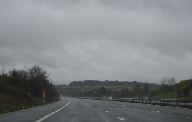
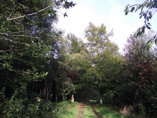
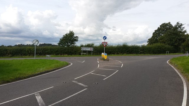
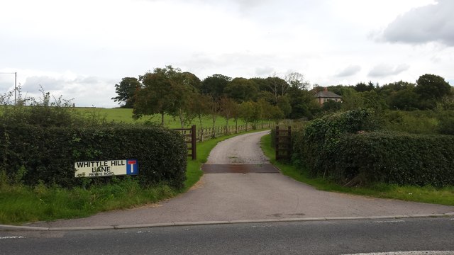
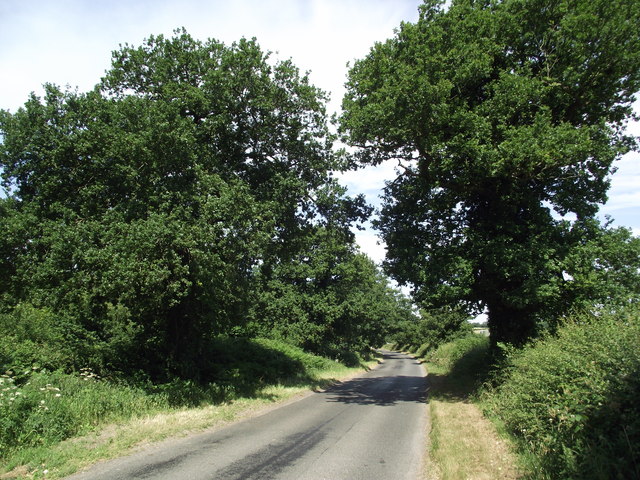
The area is crisscrossed with a network of well-maintained footpaths, allowing visitors to explore the landscape and soak in the breathtaking views. These paths also offer access to the nearby Charnwood Forest, which is renowned for its ancient woodlands and fascinating geological features.

Bawdon Rough is not only a haven for nature enthusiasts but also a popular destination for outdoor activities such as walking, hiking, and picnicking. It provides a tranquil escape from the hustle and bustle of city life, offering visitors a chance to reconnect with nature and enjoy the peace and serenity of the countryside.

Overall, Bawdon Rough is a hidden gem in Leicestershire, offering visitors a chance to experience the beauty of downs and moorland landscapes while immersing themselves in the diverse flora and fauna that call this area home.

If you have any feedback on the listing, please let us know in the comments section below.
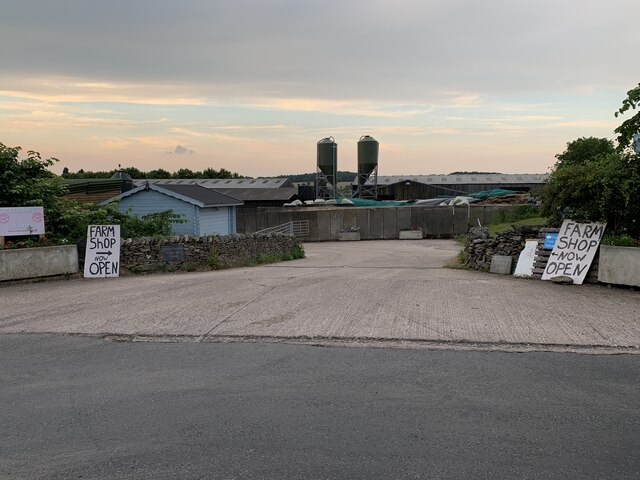
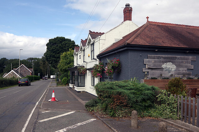
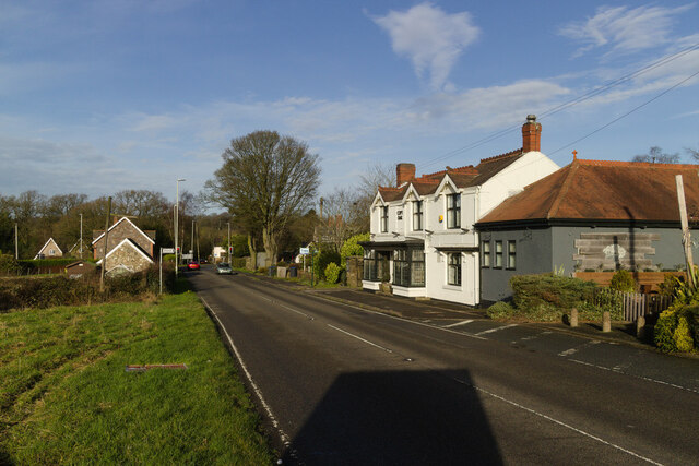
Bawdon Rough Images

Images are sourced within 2km of 52.724352/-1.2685821 or Grid Reference SK4914. Thanks to Geograph Open Source API. All images are credited.

Charnwood Forrest Farm Entrance to the farm shop
Charnwood Forrest Farm
Entrance to the farm shop
The Copt Oak The Copt Oak pub is operated by Rotisserie Pub Restaurants, part of the Marston's estate. The emphasis is very much on dining. The building has evidently had a makeover since this view 15 years earlier: <a href="https://www.geograph.org.uk/photo/188366">SK4812 : Copt Oak</a>.
The Copt Oak
The Copt Oak pub is operated by Rotisserie Pub Restaurants, part of the Marston's estate. The emphasis is very much on dining. The building has evidently had a makeover since this view 15 years earlier: SK4812 : Copt Oak.
Copt Oak public house, Whitwick Road
Old windpump A wind-driven water pump of a type that used to be common across the country. Apparently intact but photographed on a still day, so operational status unknown.
Old windpump
A wind-driven water pump of a type that used to be common across the country. Apparently intact but photographed on a still day, so operational status unknown.
Copt Oak youth hostel and church When Copt Oak's school closed it became a youth hostel, self-catering only at weekends and school holidays. Water was collected from the village stand-pipe by the volunteer wardens
Copt Oak youth hostel and church
When Copt Oak's school closed it became a youth hostel, self-catering only at weekends and school holidays. Water was collected from the village stand-pipe by the volunteer wardens
St Peter's church
St Peter's church
A wet M1, southbound The M1 is a north–south motorway connecting London to Leeds, where it joins the A1(M) near Aberford. It was the first motorway to be completed in the United Kingdom.
The motorway is 193 miles long and was constructed in four phases. Most of the motorway was opened between 1959 and 1968 but the southern end was extended in 1977 and the northern end was extended in 1999.
A wet M1, southbound
The M1 is a north–south motorway connecting London to Leeds, where it joins the A1(M) near Aberford. It was the first motorway to be completed in the United Kingdom. The motorway is 193 miles long and was constructed in four phases. Most of the motorway was opened between 1959 and 1968 but the southern end was extended in 1977 and the northern end was extended in 1999.
Overbridge, M1
Overbridge, M1
Track through Poultney Wood Part of Ulverscroft Nature Reserve, owned by the National Trust and managed by the Leicestershire & Rutland Wildlife Trust.
Track through Poultney Wood
Part of Ulverscroft Nature Reserve, owned by the National Trust and managed by the Leicestershire & Rutland Wildlife Trust.
Track through Fox Covert The woodland is part of Ulverscroft Nature Reserve.
Track through Fox Covert
The woodland is part of Ulverscroft Nature Reserve.
Track through Poultney Wood
Road junction The road junction near Roe's plantation.
Road junction
The road junction near Roe's plantation.
Whittle Hill Lane This is the road entrance to Whittle Hill Farm.
Whittle Hill Lane
This is the road entrance to Whittle Hill Farm.
Ridgefield Business Park This is the entrance to a small rural business park.
Ridgefield Business Park
This is the entrance to a small rural business park.
Youth Hostel Copt Oak Taken March 1976, one of missing Hostel photos
Youth Hostel Copt Oak
Taken March 1976, one of missing Hostel photos
Footpath from Benscliffe Road to Charley Road
Charley Road
Charley Road
Show me another place!

Bawdon Rough is located at Grid Ref: SK4914 (Lat: 52.724352, Lng: -1.2685821)

Administrative County: Leicestershire

District: North West Leicestershire

Police Authority: Leicestershire

What 3 Words

///renovated.advancing.lends. Near Markfield, Leicestershire

Nearby Locations

Bawdon Rough Cattens Rough

Related Wikis

Aldermanshaw Priory

Aldermanshaw Priory is a former Cluniac Priory, located within the Charnwood Forest, in Leicestershire, England. == History == Aldermanshaw Priory was...

Beacon Hill, Leicestershire

Beacon Hill, near Loughborough, in Leicestershire, England, is a popular country park. It is one of several beacon hills in the United Kingdom. It is part...

Felicity's Wood

Felicity's Wood is a woodland in Leicestershire, England, near the village of Woodhouse Eaves. It covers a total area of 8.77 hectares (21.67 acres). It...

Charley Priory

Charley Priory was a small former priory in Leicestershire, England. == History == The exact date Charley Priory was established is unknown, but is at...

Ulverscroft Priory

Ulverscroft Priory is a former hermitage and priory in Ulverscroft, Leicestershire. == History == The priory was founded by Robert de Beaumont, 2nd Earl...

Ulverscroft Valley

Ulverscroft Valley is a 110.8 hectares (274 acres) biological Site of Special Scientific Interest north-west of Markfield in Leicestershire. The site is...

Charley Woods

Charley Woods is a 26.8 hectares (66 acres) nature reserve north of Copt Oak in Leicestershire. It is owned and managed by the Leicestershire and Rutland...

Ulverscroft Nature Reserve

Ulverscroft is a 56-hectare (140-acre) nature reserve north of Markfield in Leicestershire, England. It is managed by the Leicestershire and Rutland Wildlife...

Nearby Amenities

Located within 500m of 52.724352,-1.2685821
Addr Housename: Bawdon Cottages
Source: OS-OpenData_StreetView
Lat/Long: 52.7266633/-1.2739941
Ridgefield Farm
Place: farm
Source: Bing
Lat/Long: 52.724742/-1.2719351
Power: pole
Source: Bing
Lat/Long: 52.72493/-1.2755916
Power: pole
Source: Bing
Lat/Long: 52.7261337/-1.2749704
Power: pole
Source: Bing
Lat/Long: 52.7254954/-1.2752375
The data included in this document is from www.openstreetmap.org. The data is made available under ODbL.

Have you been to Bawdon Rough?

Leave your review of Bawdon Rough below (or comments, questions and feedback).