Crowdhill

Settlement in Hampshire Eastleigh

England

Crowdhill

Impassable route This muddy puddle had thick hedges on both side, with no way around it. An alternative route had to be taken to get to Fair Oak.
Impassable route Credit: T Eyre

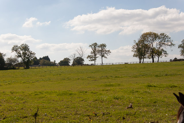
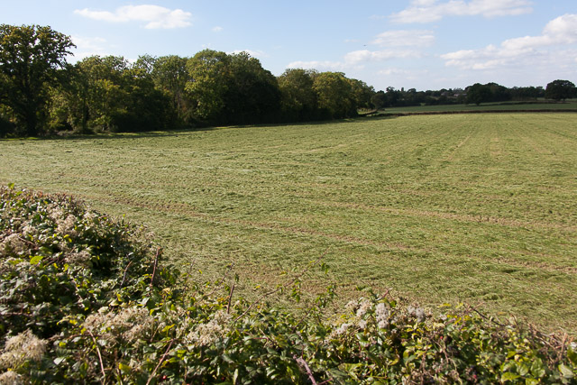
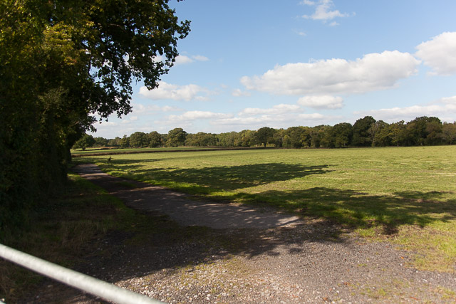
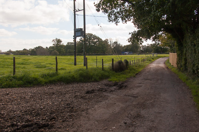
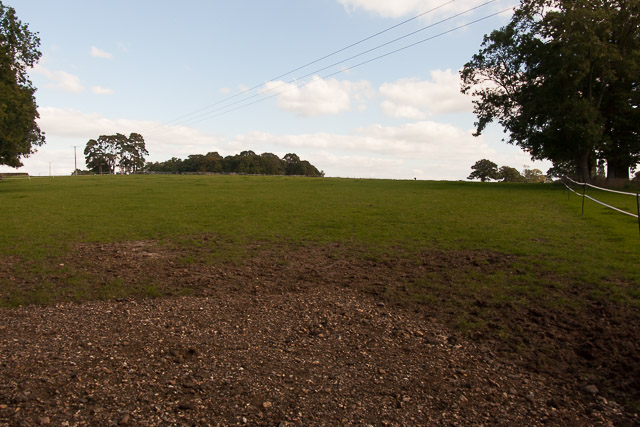
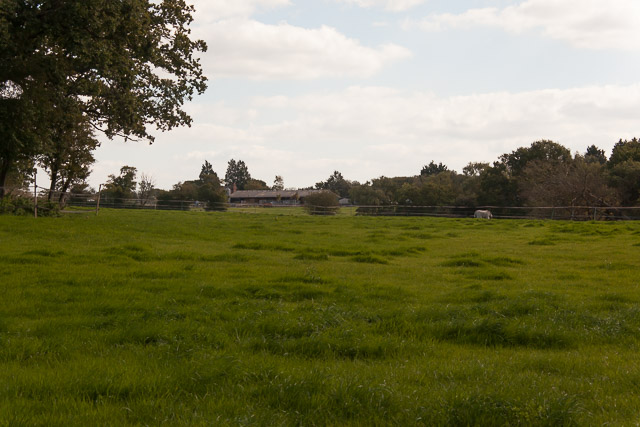
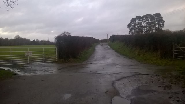
Crowdhill is a small village located in the county of Hampshire, England. Situated approximately 4 miles northeast of Bishops Waltham, it falls within the Winchester district. The village is surrounded by picturesque countryside, offering residents and visitors a peaceful and idyllic setting.

With a population of around 500 people, Crowdhill maintains a strong sense of community. The village is primarily residential, consisting of a mix of quaint cottages and modern houses. The architecture in the area is characteristic of traditional English countryside dwellings, adding to the village's charm.

Although small in size, Crowdhill provides its residents with a few essential amenities. These include a local convenience store and a post office, which cater to the day-to-day needs of the community. Additionally, there is a village hall that serves as a venue for various social gatherings and events.

The surrounding countryside offers ample opportunities for outdoor activities. Residents can enjoy peaceful walks or bike rides along the numerous footpaths and bridleways that crisscross the area. The nearby South Downs National Park also provides stunning landscapes and beautiful views for nature enthusiasts.

Crowdhill benefits from its proximity to larger towns and cities. The historic city of Winchester is approximately 10 miles away, offering a wider range of amenities, including shopping centers, restaurants, and cultural attractions. The village is well-connected by road, with easy access to major transportation routes, making it convenient for commuters.

In summary, Crowdhill is a charming village in Hampshire, offering a close-knit community, beautiful scenery, and easy access to nearby towns and cities.

If you have any feedback on the listing, please let us know in the comments section below.
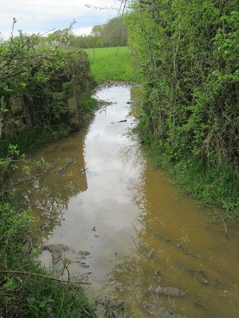
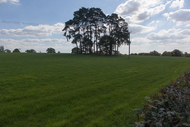
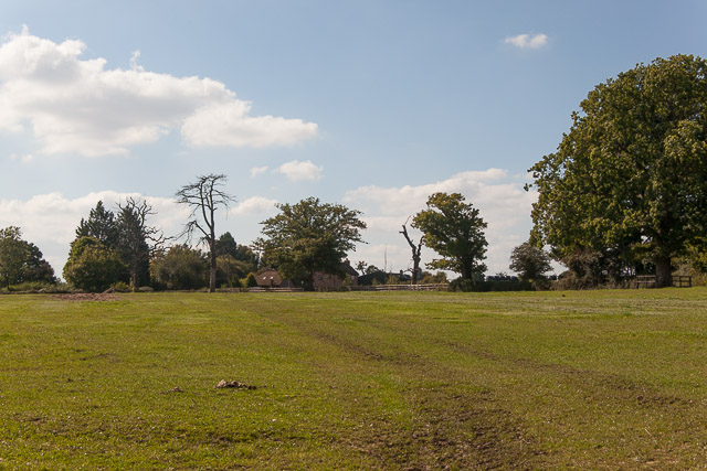
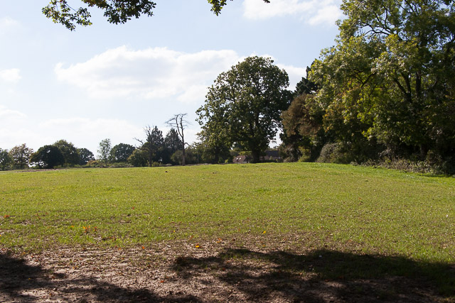
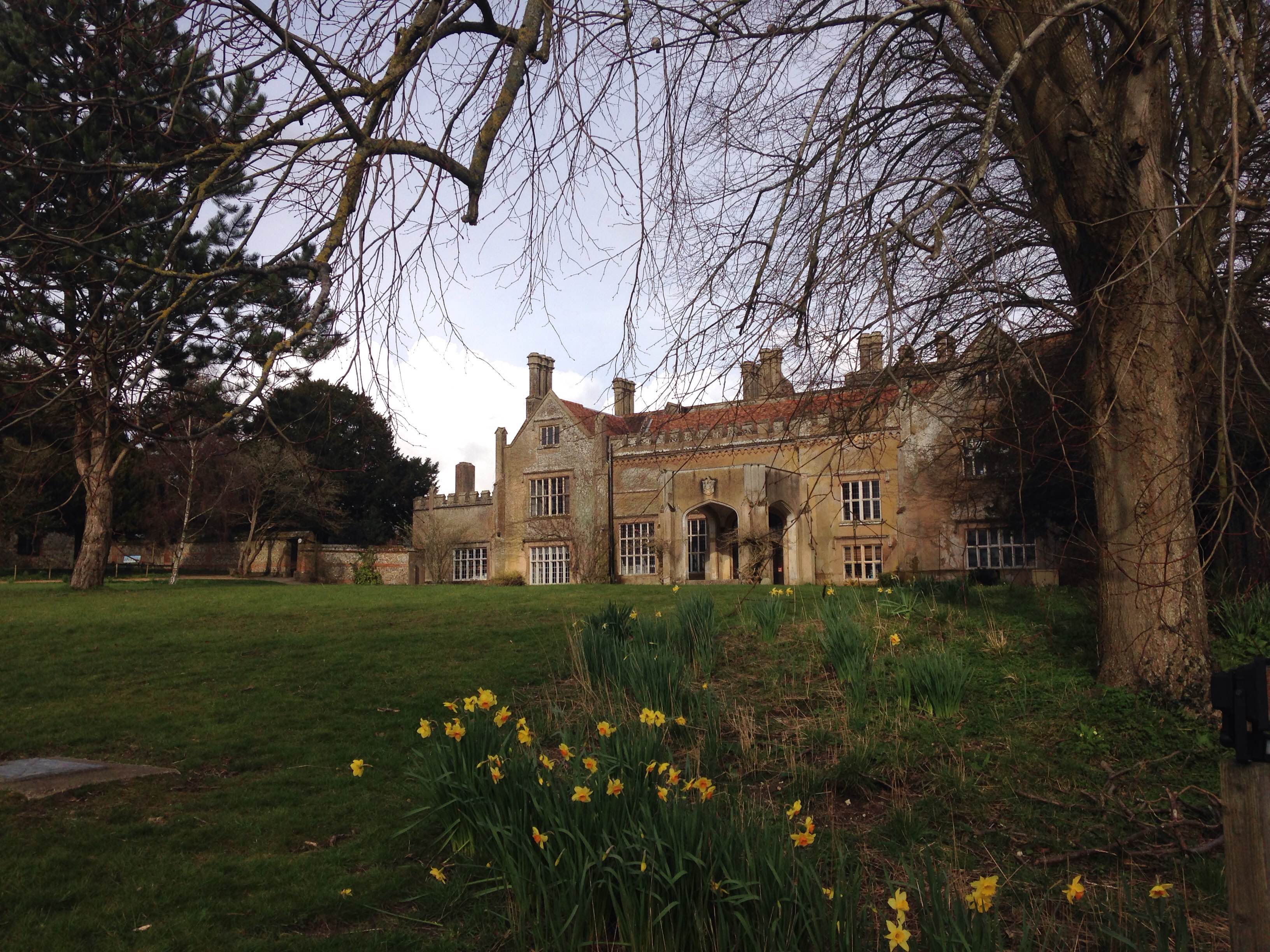
Crowdhill Images

Images are sourced within 2km of 50.9795/-1.300119 or Grid Reference SU4920. Thanks to Geograph Open Source API. All images are credited.

Impassable route This muddy puddle had thick hedges on both side, with no way around it. An alternative route had to be taken to get to Fair Oak.
Impassable route
This muddy puddle had thick hedges on both side, with no way around it. An alternative route had to be taken to get to Fair Oak.
Trees in field on Hall Lands Farm TEST TEXT PLEASE DO NOT AMEND. WILL BE REPLACED BY PROPER DESCRIPTION LATER.
lambda as numeric code λ and lambda as character ref λ also; lambda is not in windows-1252. dagger as numeric code † and dagger as character ref † also; dagger is in windows-1252 but not in iso-8859-1.
Trees in field on Hall Lands Farm
TEST TEXT PLEASE DO NOT AMEND. WILL BE REPLACED BY PROPER DESCRIPTION LATER. lambda as numeric code λ and lambda as character ref λ also; lambda is not in windows-1252. dagger as numeric code † and dagger as character ref † also; dagger is in windows-1252 but not in iso-8859-1.
Looking towards Pembers Hill Farm Seen from footpath. The Little Dower House is off-picture to the right of the big tree.
Looking towards Pembers Hill Farm
Seen from footpath. The Little Dower House is off-picture to the right of the big tree.
Looking towards The Little Dower House From footpath.
Looking towards The Little Dower House
From footpath.
Field south of Tippers Copse With barn of Pembers Hill Farm in distance. Seen from footpath.
Field south of Tippers Copse
With barn of Pembers Hill Farm in distance. Seen from footpath.
Field and Hall Lands Copse Seen from footpath over Hall Lands Lane.
Field and Hall Lands Copse
Seen from footpath over Hall Lands Lane.
Field north of Hall Lands Copse Seen from footpath over Hall Lands Lane
Field north of Hall Lands Copse
Seen from footpath over Hall Lands Lane
Hall Lands Lane As it passes Hall Lands House on the right.
Hall Lands Lane
As it passes Hall Lands House on the right.
Field east of Hall Lands House With Tippers Copse visible on the horizon.
Field east of Hall Lands House
With Tippers Copse visible on the horizon.
Field east of Hall Lands House With barn of Pembers Hill Farm in distance.
Field east of Hall Lands House
With barn of Pembers Hill Farm in distance.
Hall Lands Lane Looking NE
Hall Lands Lane
Looking NE
B3037 Mortimers Lane Heading into Fairoak.
B3037 Mortimers Lane
Heading into Fairoak.
Bridleway near Park Hills Wood
Path in Knowle Hill Conservation Site
Path on the edge of Park Hills Wood Well, just about a path if you can take big enough steps through the long grass!
Path on the edge of Park Hills Wood
Well, just about a path if you can take big enough steps through the long grass!
Hall Lands Lane
Hall Lands Lane
Newly built housing near the top of Knowle Lane Recent housing in an area currently seeing massive residential expansion.
Newly built housing near the top of Knowle Lane
Recent housing in an area currently seeing massive residential expansion.
Show me another place!

Crowdhill is located at Grid Ref: SU4920 (Lat: 50.9795, Lng: -1.300119)

Administrative County: Hampshire

District: Eastleigh

Police Authority: Hampshire

What 3 Words

///spicy.anyone.comic. Near Colden Common, Hampshire

Related Wikis

Fair Oak

Fair Oak is a large village to the east of the town of Eastleigh in Hampshire, England. Together with the village of Horton Heath, which lies to the south...

Marwell College

Marwell College was a college of secular priests in Marwell Park, Owslebury, Hampshire, England. Marwell was sometimes spelled Merwell or Merewell. The...

Wyvern College, Eastleigh

Wyvern College is a [private education|coeducational]] secondary school with academy status for students in the villages of Fair Oak, Bishopstoke, Horton...

Marwell Zoo

Marwell Zoo is a 140-acre (57 ha) zoo situated in Colden Common near Winchester, in the English county of Hampshire. It is owned and run by the registered...

The King's School, Fair Oak

The King's School, on Allington Lane in Fair Oak, Hampshire, is an independent Christian faith school with 229 pupils As of 2023. The school was founded...

Colden Common

Colden Common is a civil parish in the Winchester District of Hampshire, England, approximately 5 miles south of the city of Winchester, covering an area...

Bishopstoke

Bishopstoke is a village and civil parish in the Eastleigh district of Hampshire, England. It is recorded as "Stoke" as early as 948 AD when King Eadred...

Fair Oak Lodge

Fair Oak Lodge is a former country house in the village of Fair Oak, Hampshire. Much of the original estate has been built upon with modern housing, but...

Nearby Amenities

Located within 500m of 50.9795,-1.300119
Barrier: stile
Source: survey
Lat/Long: 50.9815116/-1.2980823
Power: tower
Ref: 4YC 49
Source Ref: extrapolation
Lat/Long: 50.9815735/-1.3017519
Bus Stop
The Fox and Hounds Ph
Bus: yes
Naptan AtcoCode: 1900HA030277
Naptan Bearing: S
Naptan CommonName: The Fox and Hounds Ph
Naptan Crossing: Hill Close
Naptan NaptanCode: hamdjgaw
Naptan Street: Winchester Road
Naptan Verified: no
Public Transport: platform
Source: naptan_import
Lat/Long: 50.976073/-1.3026307
Bus Stop
The Fox and Hounds Ph
Bus: yes
Naptan AtcoCode: 1900HA030278
Naptan Bearing: N
Naptan CommonName: The Fox and Hounds Ph
Naptan Crossing: Hill Close
Naptan NaptanCode: hamdjgat
Naptan Street: Winchester Road
Naptan Verified: no
Public Transport: platform
Source: naptan_import
Lat/Long: 50.9761194/-1.3027617
Bus Stop
Hill Close
Bus: yes
Naptan AtcoCode: 1900HA030279
Naptan Bearing: S
Naptan CommonName: Hill Close
Naptan Crossing: Hill Close
Naptan NaptanCode: hamdjdwd
Naptan Street: B3354 Winchester Road
Naptan Verified: no
Public Transport: platform
Shelter: no
Source: naptan_import
Lat/Long: 50.977674/-1.3030284
Bus Stop
Hill Close
Bench: yes
Bus: yes
Naptan AtcoCode: 1900HA030280
Naptan Bearing: N
Naptan CommonName: Hill Close
Naptan Crossing: Hill Close
Naptan NaptanCode: hamdjdtp
Naptan Street: B3354 Winchester Road
Naptan Verified: no
Public Transport: platform
Shelter: no
Source: naptan_import
Lat/Long: 50.977866/-1.3033033
Bus Stop
Hill View Caravan Park
Bus: yes
Naptan AtcoCode: 1900HA030281
Naptan Bearing: N
Naptan CommonName: Hill View Caravan Park
Naptan NaptanCode: hamdjdjm
Naptan Street: Main Road
Naptan Verified: no
Public Transport: platform
Source: naptan_import
Lat/Long: 50.9812674/-1.3051755
Bus Stop
Hill View Caravan Park
Bus: yes
Naptan AtcoCode: 1900HA030282
Naptan Bearing: S
Naptan CommonName: Hill View Caravan Park
Naptan NaptanCode: hamdjdma
Naptan Street: Main Road
Naptan Verified: no
Public Transport: platform
Source: naptan_import
Lat/Long: 50.9812671/-1.3050474
Post Box
Collection Plate: CP7
Collection Times: Mo-Fr 16:00; Sa 09:00
Ele: 112.000000
Operator: Royal Mail
Operator Wikidata: Q638098
Post Box Type: lamp
Ref: SO50 183
Royal Cypher: EIIR
Royal Cypher Wikidata: Q33102113
Lat/Long: 50.9781166/-1.3031936
Power: tower
Ref: 4YC 50
Source: bing
Source Ref: extrapolation
Lat/Long: 50.9802466/-1.2967763
Addr City: Winchester
Lat/Long: 50.9786984/-1.3049632
Addr City: Winchester
Lat/Long: 50.9788084/-1.3050275
Addr City: Winchester
Lat/Long: 50.9785745/-1.3050477
Addr City: Winchester
Lat/Long: 50.9799458/-1.3064558
Addr City: Winchester
Lat/Long: 50.9788347/-1.3043852
Addr City: Winchester
Lat/Long: 50.9788988/-1.3047768
Addr City: Winchester
Lat/Long: 50.9789157/-1.3042296
Addr City: Winchester
Lat/Long: 50.9788752/-1.3048894
Addr City: Winchester
Lat/Long: 50.9786657/-1.3049994
Addr City: Winchester
Lat/Long: 50.978413/-1.3066452
Addr City: Winchester
Lat/Long: 50.9784445/-1.3050509
Addr City: Winchester
Lat/Long: 50.9800392/-1.3063231
Addr City: Winchester
Lat/Long: 50.9801654/-1.3058604
Addr City: Winchester
Lat/Long: 50.9787299/-1.3050288
Addr City: Winchester
Lat/Long: 50.9786258/-1.3050249
Addr City: Winchester
Lat/Long: 50.9788347/-1.3049484
Addr City: Winchester
Lat/Long: 50.9788144/-1.3050021
Addr City: Winchester
Lat/Long: 50.9788988/-1.3048358
Addr City: Winchester
Lat/Long: 50.9787203/-1.3049525
Addr City: Winchester
Lat/Long: 50.9801181/-1.3061447
Addr City: Winchester
Lat/Long: 50.9787299/-1.3049753
Addr City: Winchester
Lat/Long: 50.979536/-1.3066717
Addr City: Winchester
Lat/Long: 50.9798175/-1.3065738
Addr City: Winchester
Lat/Long: 50.9787908/-1.3044549
Addr City: Winchester
Lat/Long: 50.9796745/-1.3066449
Addr City: Winchester
Lat/Long: 50.9789574/-1.3041302
Addr City: Winchester
Lat/Long: 50.9790627/-1.3042419
Addr City: Winchester
Lat/Long: 50.9792361/-1.3043939
Addr City: Winchester
Lat/Long: 50.9794161/-1.3045428
Addr City: Winchester
Lat/Long: 50.9795474/-1.3046429
Addr City: Winchester
Lat/Long: 50.9796726/-1.304724
Addr City: Winchester
Lat/Long: 50.9797149/-1.3047462
Addr City: Winchester
Lat/Long: 50.9797785/-1.3047813
Addr City: Winchester
Lat/Long: 50.9798513/-1.3048049
Addr City: Winchester
Lat/Long: 50.9799446/-1.3048342
Addr City: Winchester
Lat/Long: 50.9800547/-1.3048657
Addr City: Winchester
Lat/Long: 50.9802128/-1.3048955
Addr City: Winchester
Lat/Long: 50.9802554/-1.3049039
Crowdhill
Place: village
Lat/Long: 50.9778507/-1.3028365
Addr City: Winchester
Lat/Long: 50.9801882/-1.305618
Addr City: Winchester
Lat/Long: 50.9792597/-1.3066811
Addr City: Winchester
Lat/Long: 50.9784163/-1.3064776
Addr City: Winchester
Lat/Long: 50.9784235/-1.3061154
Addr City: Winchester
Lat/Long: 50.9788669/-1.3046818
Addr City: Winchester
Lat/Long: 50.9790812/-1.3066735
Addr City: Winchester
Lat/Long: 50.9801443/-1.3059875
The data included in this document is from www.openstreetmap.org. The data is made available under ODbL.

Have you been to Crowdhill?

Leave your review of Crowdhill below (or comments, questions and feedback).