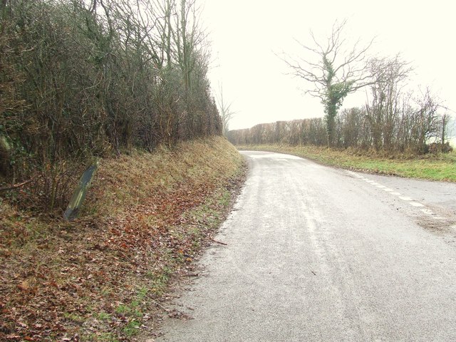
Ash Street
Settlement in Suffolk Babergh
England
Ash Street
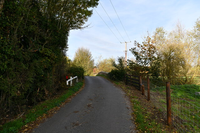
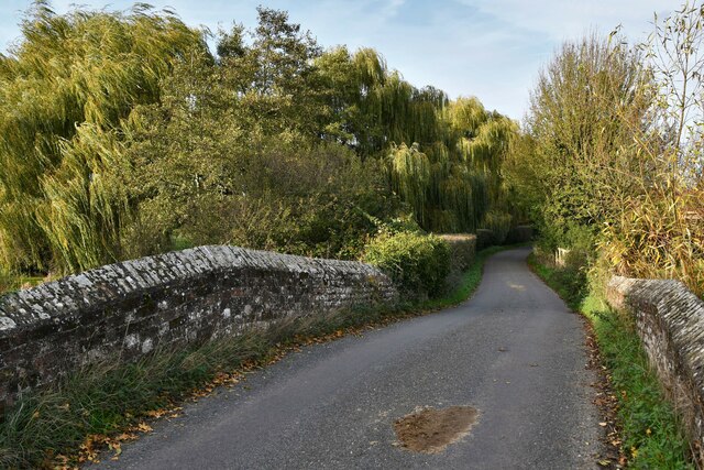
Ash Street is a quaint residential road located in Suffolk, a county in the East of England. Situated in the heart of a peaceful and picturesque village, this street offers a charming and idyllic setting for its residents. The street is lined with rows of well-maintained cottages and period houses, each exuding a sense of character and history.
Ash Street benefits from its close proximity to the village center, where residents can find a range of amenities and services. Local shops, including a grocery store, bakery, and post office, are within walking distance, providing convenience for everyday needs. The street is also home to a cozy pub, a popular gathering spot for locals and visitors alike.
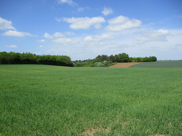
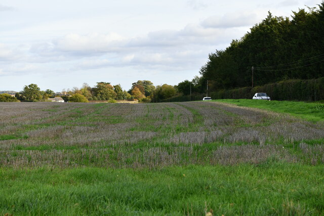
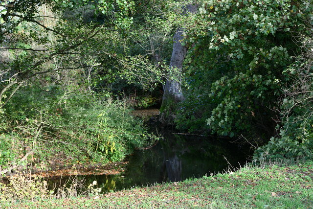
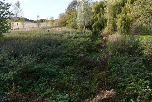
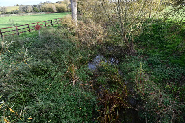
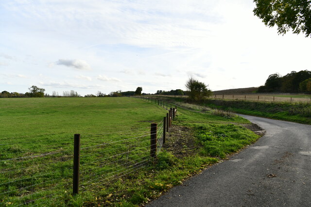
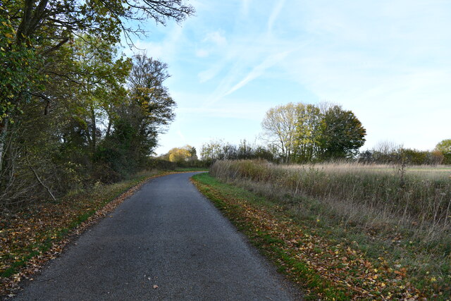
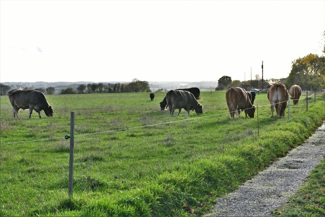
Nature enthusiasts will appreciate the beauty that surrounds Ash Street. The village is nestled amidst the stunning Suffolk countryside, known for its rolling hills, meandering rivers, and lush greenery. A short walk from the street leads to scenic walking paths and trails, perfect for leisurely strolls or exploring the local flora and fauna.
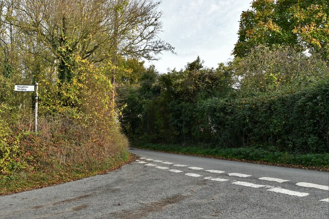
Transportation links are easily accessible from Ash Street, with regular bus services connecting the village to neighboring towns and cities. Motorists can access major roads and highways within a short drive, allowing for convenient commuting and travel.
Overall, Ash Street in Suffolk offers a peaceful and charming residential setting, combining the tranquility of village life with convenient access to amenities and the natural beauty of the surrounding countryside.
If you have any feedback on the listing, please let us know in the comments section below.
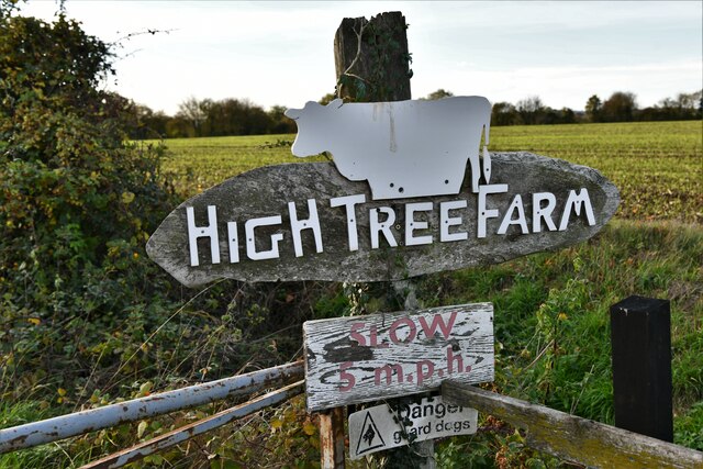
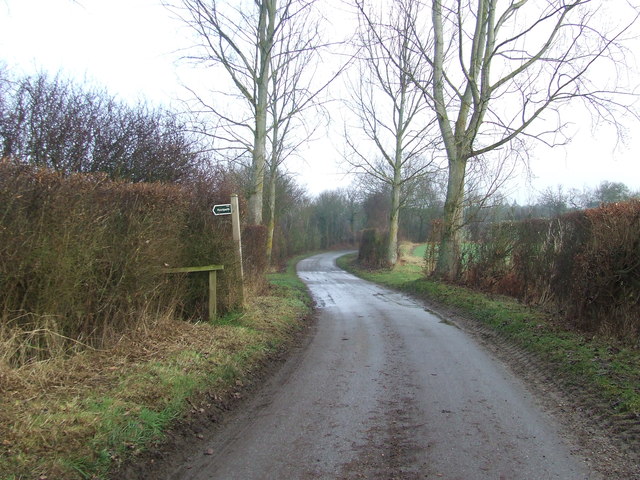
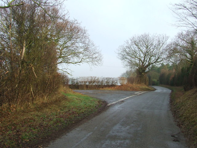
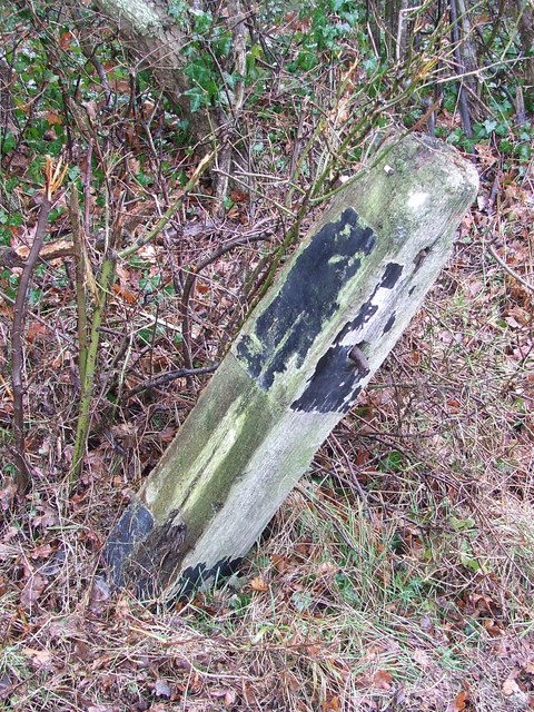
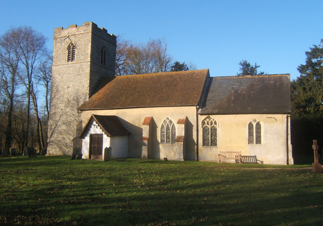
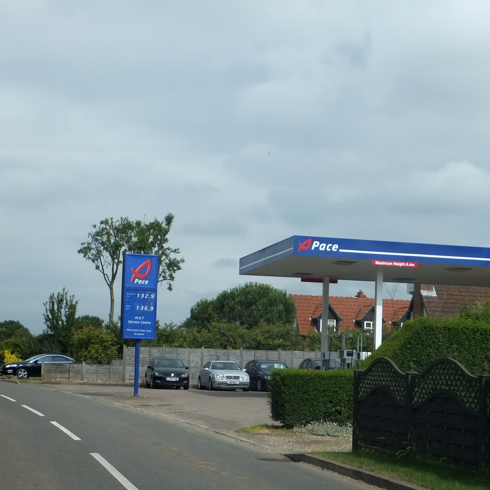
Ash Street Images
Images are sourced within 2km of 52.081011/0.932759 or Grid Reference TM0146. Thanks to Geograph Open Source API. All images are credited.

Ash Street is located at Grid Ref: TM0146 (Lat: 52.081011, Lng: 0.932759)
Administrative County: Suffolk
District: Babergh
Police Authority: Suffolk
What 3 Words
///bolts.pioneered.region. Near Bildeston, Suffolk
Nearby Locations
Related Wikis
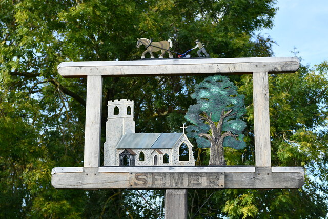
Semer, Suffolk
Semer is a small village and civil parish in Suffolk, England. Located adjacent to a bridge over the River Brett on the B1115 between Hadleigh and Stowmarket...
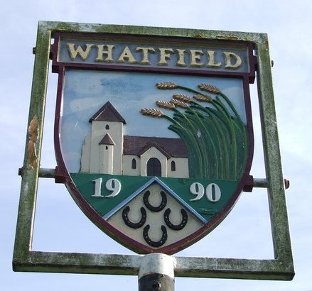
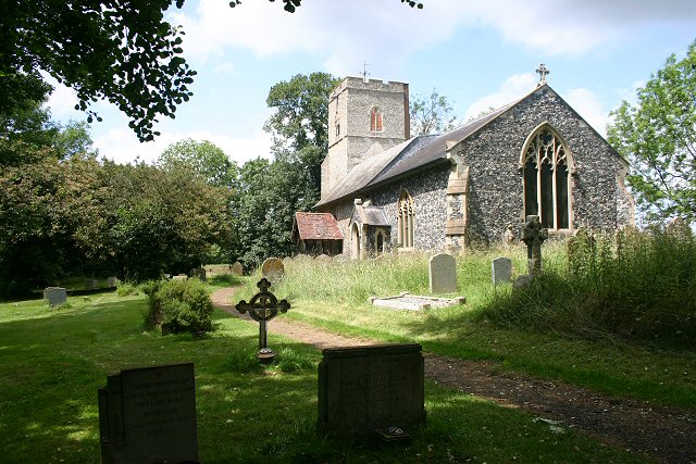
Whatfield
Whatfield is a village and civil parish in Suffolk, England. Located around 2 miles (3.2 km) north of Hadleigh, it is part of Babergh district. == Origin... ==
Kersey Priory
Kersey Priory was a priory in Kersey, Suffolk, England. It was founded before 1218 as a hospital dedicated St Mary the Blessed Virgin and St Anthony under...

Nedging
Nedging is a village and former civil parish on the B1115 road, now in the parish of Nedging-with-Naughton, in the Babergh district, in the county of Suffolk...

Nedging-with-Naughton
Nedging-with-Naughton is a civil parish in the Babergh district of the county of Suffolk, England. Located on the B1078 between Bildeston and Needham Market...
Naughton, Suffolk
Naughton is a village and former civil parish, now in the civil parish of Nedging-with-Naughton, in the Babergh district, in the county of Suffolk, England...

Cosford Hundred
Cosford was a hundred of Suffolk, consisting of 30,712 acres (124.29 km2).The hundred consisted of Hadleigh, the only town of any size, and seventeen other...
Nedging Tye
Nedging Tye is a hamlet on the B1078 road, in the civil parish of Nedging-with-Naughton, in the Babergh district, in the county of Suffolk, England. The...
Nearby Amenities
Located within 500m of 52.081011,0.932759Have you been to Ash Street?
Leave your review of Ash Street below (or comments, questions and feedback).