Ash Priors
Settlement in Somerset Somerset West and Taunton
England
Ash Priors
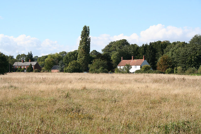
Ash Priors is a charming village located in the county of Somerset, England. Situated approximately 4 miles southwest of the town of Taunton, it is nestled amidst picturesque countryside and boasts a tranquil atmosphere that attracts both locals and visitors alike.
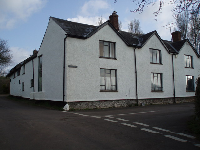
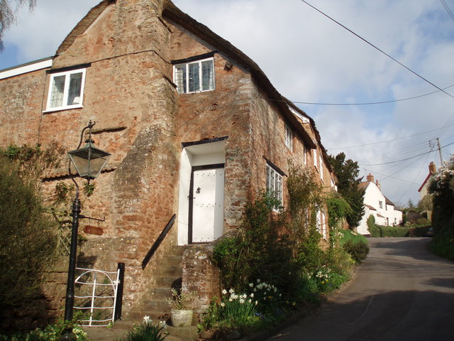
The village is characterized by its traditional English charm, with a collection of beautiful historic buildings, including the Grade II listed Ash Priors House, which dates back to the 17th century. The architecture in Ash Priors is predominantly made up of stone cottages and thatched roofs, contributing to its quintessential rural appeal.
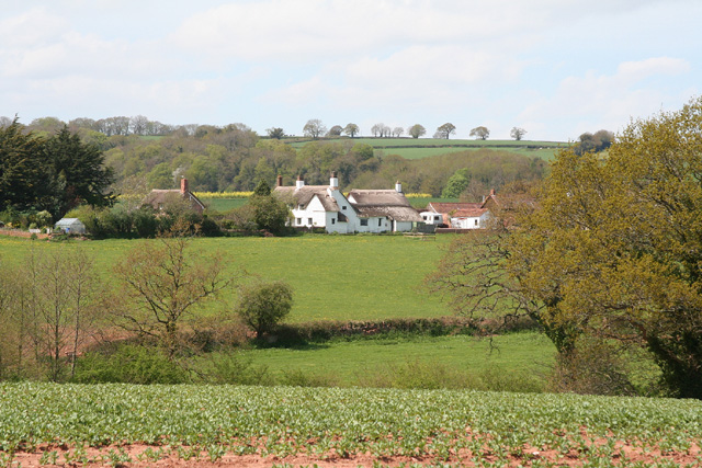
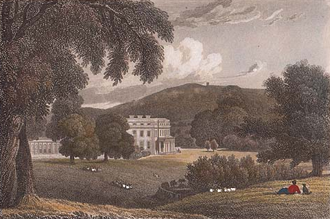
Nature enthusiasts will find themselves in awe of the surrounding landscape, as the village is surrounded by rolling hills, verdant meadows, and lush woodland. The area offers ample opportunities for outdoor activities such as hiking, cycling, and birdwatching. The nearby Blackdown Hills, designated as an Area of Outstanding Natural Beauty, provide breathtaking panoramic views that are not to be missed.
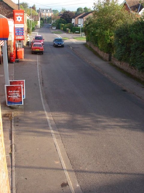
Despite its small size, Ash Priors has a strong sense of community, with a local pub serving as a hub for socializing and events. The village also benefits from its proximity to Taunton, where residents can access a wider range of amenities, including shops, supermarkets, and schools.
Overall, Ash Priors presents an idyllic rural setting, offering a peaceful escape from the hustle and bustle of city life. With its charming architecture, stunning natural surroundings, and strong community spirit, it is no wonder that Ash Priors is cherished by both its residents and visitors.
If you have any feedback on the listing, please let us know in the comments section below.
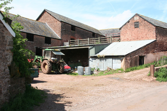
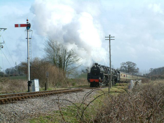
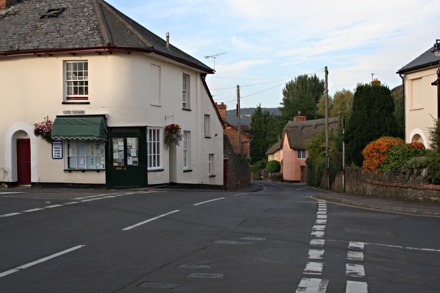
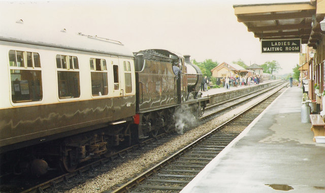
Ash Priors Images
Images are sourced within 2km of 51.058524/-3.211556 or Grid Reference ST1529. Thanks to Geograph Open Source API. All images are credited.


Ash Priors is located at Grid Ref: ST1529 (Lat: 51.058524, Lng: -3.211556)
Administrative County: Somerset
District: Somerset West and Taunton
Police Authority: Avon and Somerset
What 3 Words
///alright.lemmings.joyously. Near Bishops Lydeard, Somerset
Nearby Locations
Related Wikis

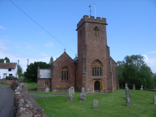
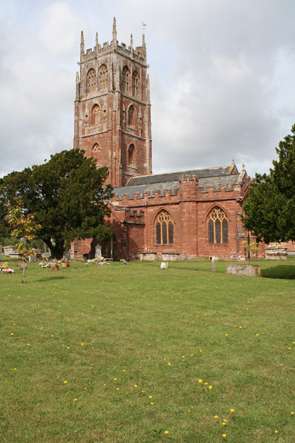
Church of the Holy Trinity, Ash Priors
The Church of the Holy Trinity in Ash Priors, Somerset, England was built in the 15th century. It is a Grade II* listed building. == History == In the...
Ash Priors
Ash Priors is a village and parish in Somerset, England, situated 5 miles (8.0 km) north west of Taunton. The village has a population of 155. == History... ==
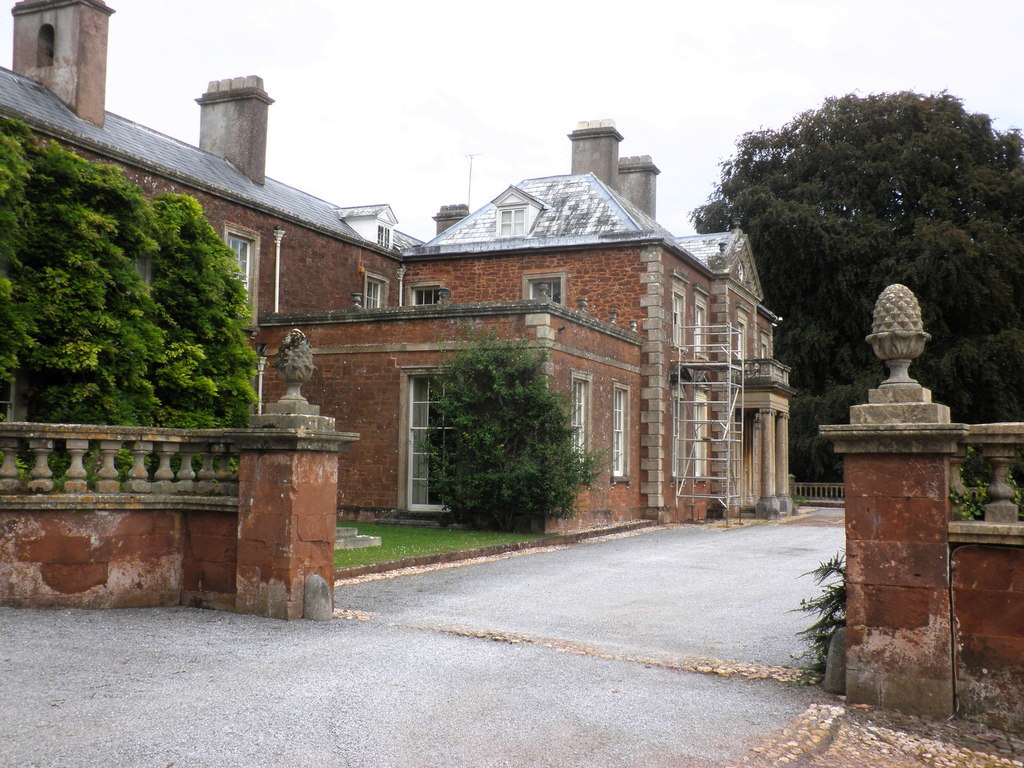
Sandhill Park
Sandhill Park in the parish of Bishops Lydeard, Somerset, England is a derelict country house built in about 1720. It was used in the 20th century as a...
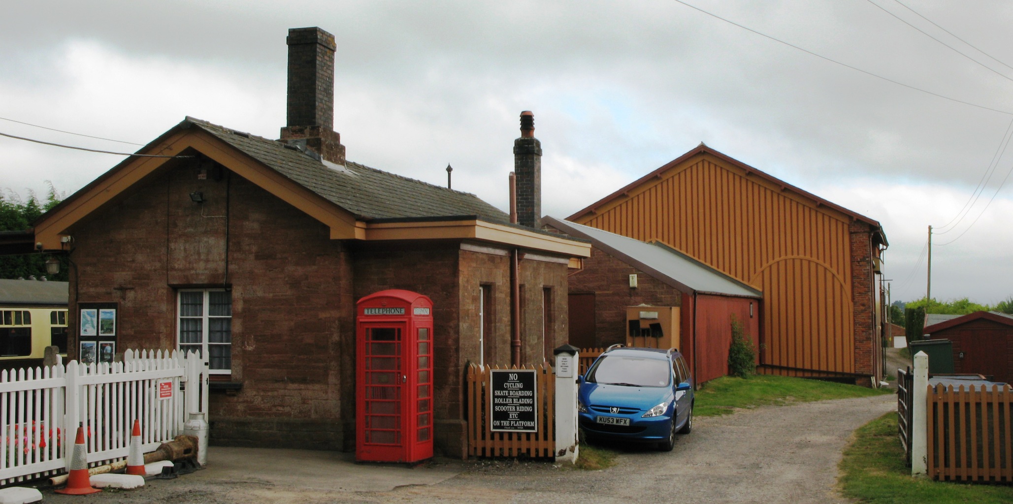
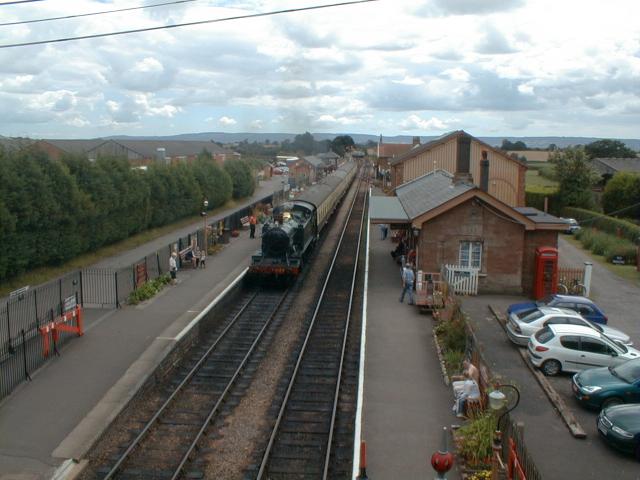
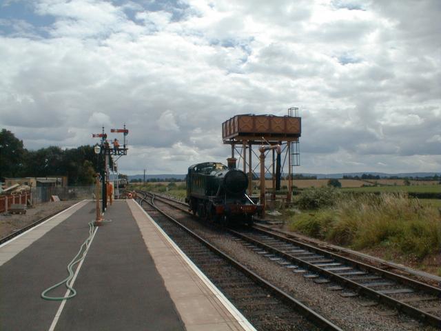
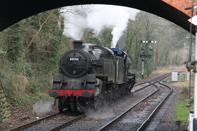
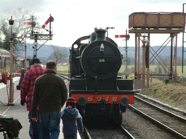
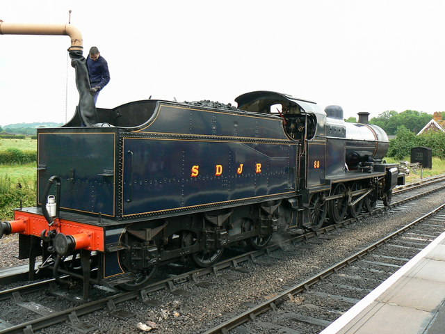
Bishops Lydeard railway station
Bishops Lydeard railway station is a heritage railway station in the village of Bishops Lydeard, Somerset, England. It is the southern terminus for regular...
Lydeard House
Lydeard House in Bishops Lydeard, Somerset, England was built in the mid 18th century. It is a Grade II* listed building. == History == Lydeard House was...
Bishops Lydeard
Bishops Lydeard () is a village and civil parish located in Somerset, England, 5 miles (8 km) north-west of Taunton. The civil parish encompasses the hamlets...

Combe Florey House
Combe Florey House in Combe Florey, Somerset, England is a country house dating from the early 18th century. It replaced an Elizabethan manor house which...

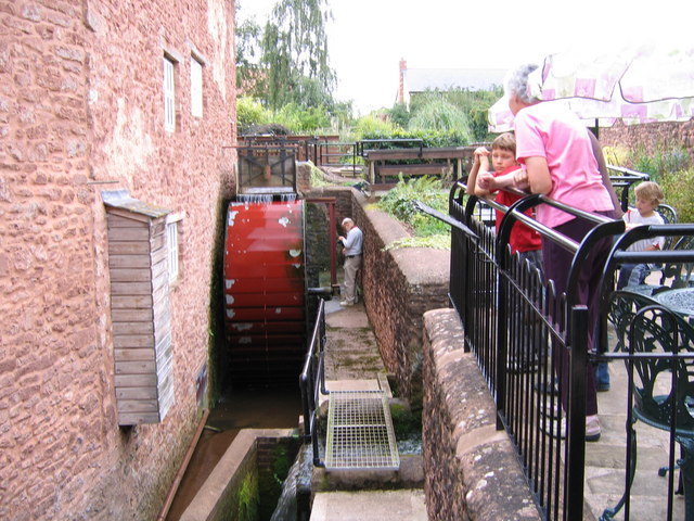
Bishops Lydeard Mill and Rural Life Museum
The Bishops Lydeard Mill and Rural Life Museum is a historic building and museum in Bishops Lydeard, Somerset, England. The building dates from the 18th...
Nearby Amenities
Located within 500m of 51.058524,-3.211556Have you been to Ash Priors?
Leave your review of Ash Priors below (or comments, questions and feedback).