Crowdhill Copse
Wood, Forest in Hampshire Eastleigh
England
Crowdhill Copse
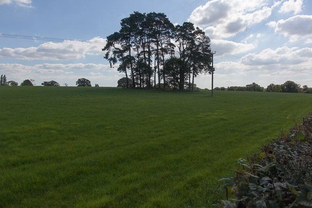
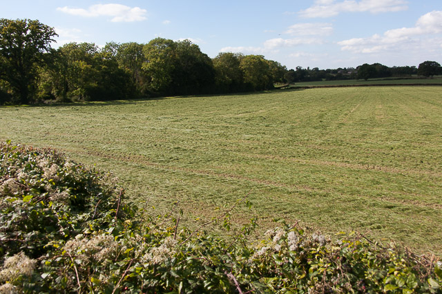
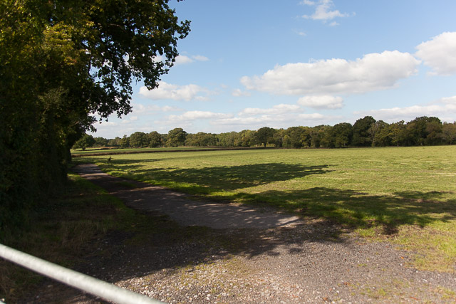
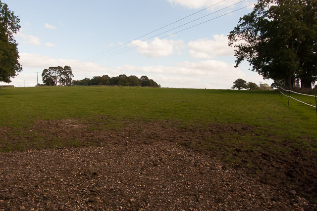
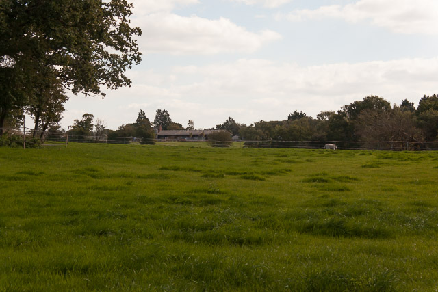
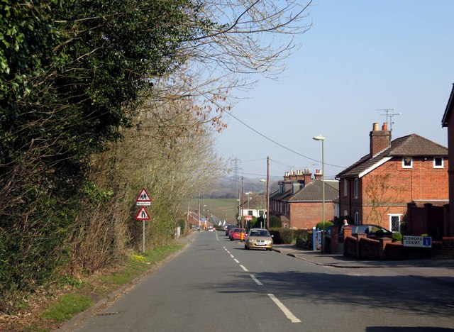
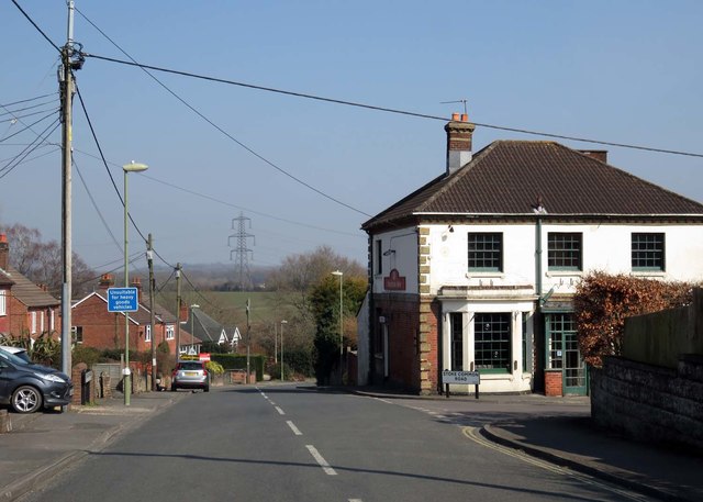
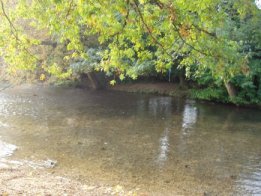
Crowdhill Copse is a picturesque woodland located in the county of Hampshire, England. Spanning an area of approximately 50 acres, it is a popular destination for nature enthusiasts and outdoor enthusiasts alike. The copse is situated near the village of Fair Oak, just east of Eastleigh.
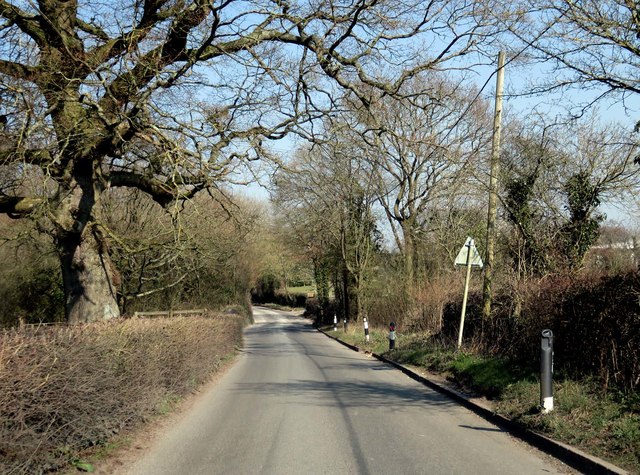
The woodland consists primarily of native broadleaf trees, including oak, beech, and birch. These towering trees create a dense canopy that provides shade and shelter for a diverse range of flora and fauna. Bluebells, foxgloves, and wood anemones carpet the forest floor during the spring, creating a stunning display of colors.
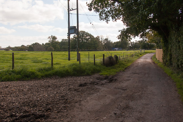
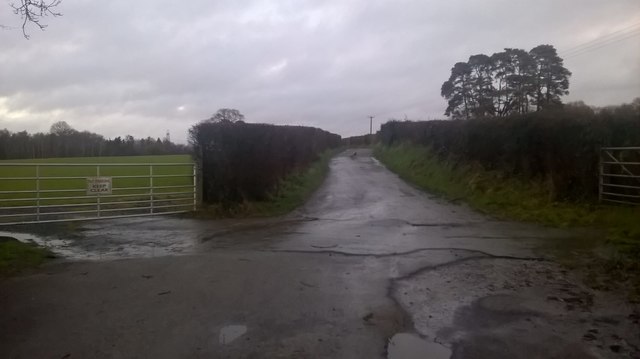
Numerous walking trails meander through the copse, allowing visitors to explore its natural beauty at their own pace. These paths are well-maintained and signposted, ensuring easy navigation for all visitors. The copse is also home to a variety of wildlife, including deer, squirrels, and a wide array of bird species. Birdwatchers will delight in the opportunity to spot species such as woodpeckers, nuthatches, and tawny owls.
In addition to its natural beauty, Crowdhill Copse offers several amenities to enhance visitors' experiences. There are designated picnic areas where families and friends can enjoy a meal amidst the tranquility of the woodland. Additionally, the copse features a small car park, ensuring convenient access for those arriving by car.
Overall, Crowdhill Copse in Hampshire provides a peaceful and scenic escape for individuals seeking solace in nature. Whether it's a leisurely stroll, a picnic, or birdwatching, this enchanting woodland offers something for everyone to enjoy.
If you have any feedback on the listing, please let us know in the comments section below.
Crowdhill Copse Images
Images are sourced within 2km of 50.974283/-1.3106178 or Grid Reference SU4819. Thanks to Geograph Open Source API. All images are credited.


Crowdhill Copse is located at Grid Ref: SU4819 (Lat: 50.974283, Lng: -1.3106178)
Administrative County: Hampshire
District: Eastleigh
Police Authority: Hampshire
What 3 Words
///puzzle.guess.sparks. Near Bishopstoke, Hampshire
Nearby Locations
Related Wikis
Fair Oak
Fair Oak is a large village to the east of the town of Eastleigh in Hampshire, England. Together with the village of Horton Heath, which lies to the south...
Bishopstoke
Bishopstoke is a village and civil parish in the Eastleigh district of Hampshire, England. It is recorded as "Stoke" as early as 948 AD when King Eadred...

The King's School, Fair Oak
The King's School, on Allington Lane in Fair Oak, Hampshire, is an independent Christian faith school with 229 pupils As of 2023. The school was founded...

St Mary's Church, Bishopstoke
The Church of St Mary's is an Anglican Church in Bishopstoke, Hampshire. St Mary's was designed by Edward Prioleau Warren and built during 1890/91 by Wheeler...
Wyvern College, Eastleigh
Wyvern College is a [private education|coeducational]] secondary school with academy status for students in the villages of Fair Oak, Bishopstoke, Horton...

Fair Oak Lodge
Fair Oak Lodge is a former country house in the village of Fair Oak, Hampshire. Much of the original estate has been built upon with modern housing, but...

Colden Common
Colden Common is a civil parish in the Winchester District of Hampshire, England, approximately 5 miles south of the city of Winchester, covering an area...
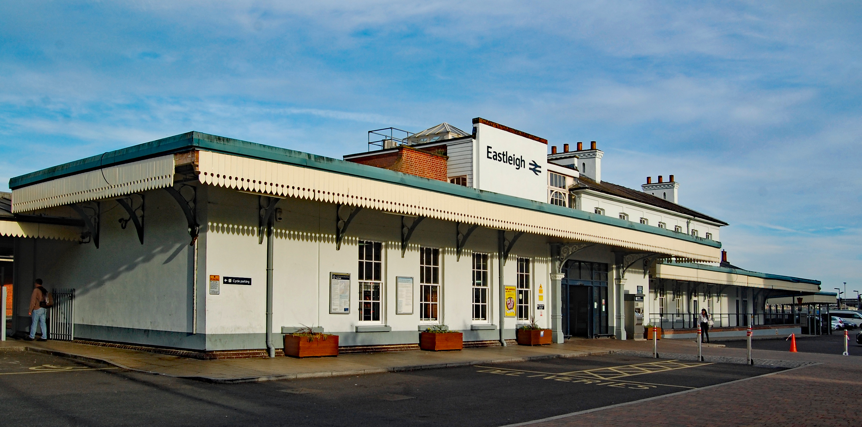
Eastleigh railway station
Eastleigh railway station serves the town of Eastleigh in the county of Hampshire in England. It is located on the South West Main Line and is the junction...
Nearby Amenities
Located within 500m of 50.974283,-1.3106178Have you been to Crowdhill Copse?
Leave your review of Crowdhill Copse below (or comments, questions and feedback).