Church Grove
Wood, Forest in Oxfordshire Oxford
England
Church Grove
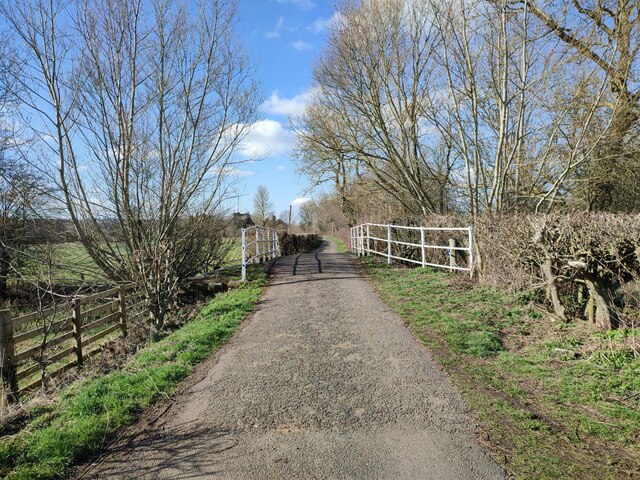
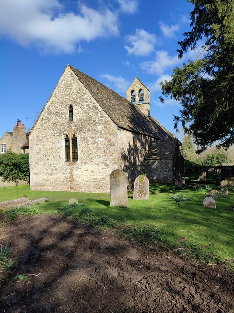
Church Grove is a picturesque woodland area located in the county of Oxfordshire, England. Situated amidst the rolling hills and scenic countryside, it is a haven for nature enthusiasts and those seeking a peaceful retreat. The grove is named after the beautiful historic church that stands at its entrance, adding to its charm and character.
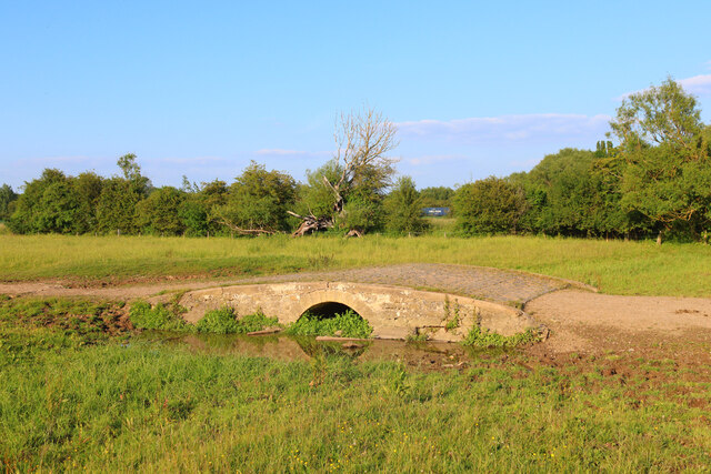
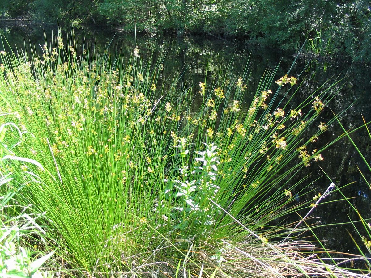
Covering a vast expanse, Church Grove is home to a diverse range of tree species, including oak, beech, and birch. The dense foliage creates a cool and shady environment, providing a sanctuary for various wildlife species such as deer, squirrels, and a wide variety of bird species. The woodland floor is carpeted with lush green moss and wildflowers, adding to the natural beauty of the area.
The grove is crisscrossed with well-maintained walking trails, allowing visitors to explore its depths and immerse themselves in the tranquility of nature. These paths lead to hidden clearings, where visitors can relax and enjoy a picnic surrounded by the sights and sounds of the forest.
Church Grove is not only a place of natural beauty but also of historical significance. The nearby church, dating back to the medieval era, is a striking example of Gothic architecture and is still in use today. Its towering spire can be seen from various vantage points within the grove, adding a touch of majesty to the surroundings.
Whether it is a leisurely stroll, birdwatching, or simply seeking solace in nature's embrace, Church Grove in Oxfordshire offers a serene and captivating experience for all who visit.
If you have any feedback on the listing, please let us know in the comments section below.
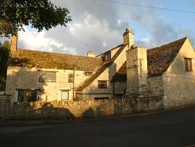
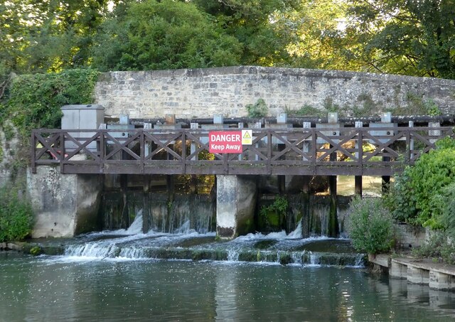
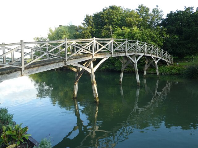
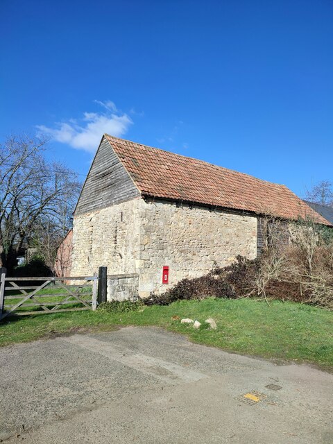
Church Grove Images
Images are sourced within 2km of 51.768827/-1.2986581 or Grid Reference SP4808. Thanks to Geograph Open Source API. All images are credited.


Church Grove is located at Grid Ref: SP4808 (Lat: 51.768827, Lng: -1.2986581)
Administrative County: Oxfordshire
District: Oxford
Police Authority: Thames Valley
What 3 Words
///school.racks.other. Near Wolvercote, Oxfordshire
Nearby Locations
Related Wikis

Binsey, Oxfordshire
Binsey is a small village on the west side of Oxford, in Oxfordshire, England. It lies on the banks of the River Thames about 1.5 miles (2.4 km) northwest...
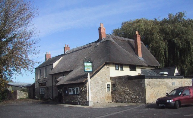
The Perch, Binsey
The Perch is a historic public house in the village of Binsey, Oxfordshire, England, northwest of Oxford and close to the River Thames, overlooking Port...
Seacourt
Seacourt is a deserted medieval village ( DMV ) near the City of Oxford. The site is now mostly beneath the Oxford Western By-pass ( A34 ), about 0...

Godstow Lock
Godstow Lock is a lock on the River Thames in Oxfordshire, England. It is between the villages of Wolvercote and Wytham on the outskirts of Oxford. The...

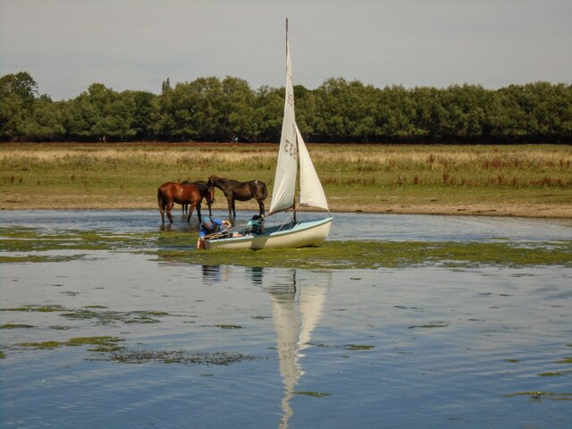
Port Meadow with Wolvercote Common and Green
Port Meadow with Wolvercote Common and Green is a 167.1-hectare (413-acre) biological Site of Special Scientific Interest in Oxford in Oxfordshire. It...

Port Meadow, Oxford
Port Meadow is a large meadow of open common land beside the River Thames to the north and west of Oxford, England. == Overview == The meadow is an ancient...

Godstow
Godstow is about 2.5 miles (4 km) northwest of the centre of Oxford. It lies on the banks of the River Thames between the villages of Wolvercote to the...
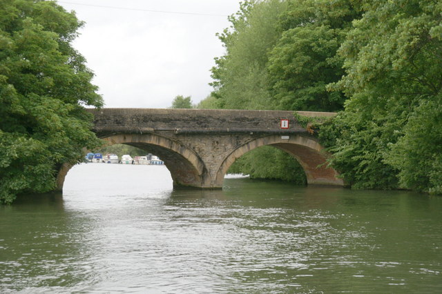
Godstow Bridge
Godstow Bridge is a road bridge across the River Thames in England at Godstow near Oxford. The bridge is just upstream of Godstow Lock on the reach to...
Nearby Amenities
Located within 500m of 51.768827,-1.2986581Have you been to Church Grove?
Leave your review of Church Grove below (or comments, questions and feedback).