Godstow Holt
Wood, Forest in Oxfordshire Oxford
England
Godstow Holt
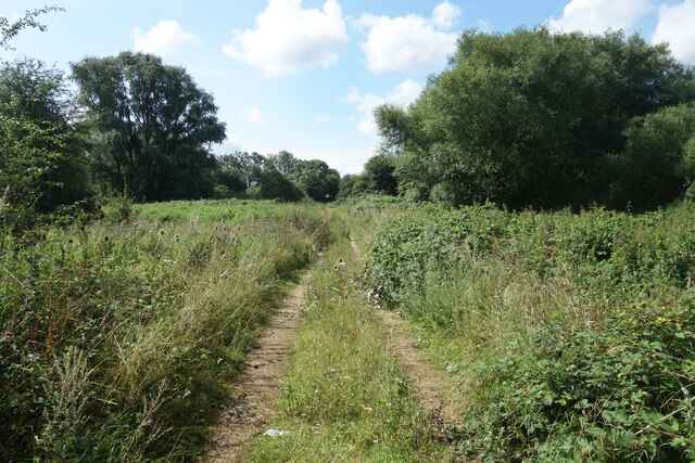
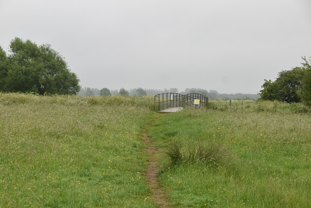
Godstow Holt is a picturesque woodland situated in Oxfordshire, England. Nestled on the outskirts of the historic city of Oxford, it covers an area of approximately 100 acres and is characterized by its dense and diverse forest. The holt, an archaic term for a small wood or copse, is a haven for nature enthusiasts and offers a tranquil escape from the bustling city.
The woodland is predominantly comprised of native tree species such as oak, beech, and birch, creating a rich and vibrant canopy that filters sunlight to the forest floor. This allows for the growth of an array of flora, including bluebells, primroses, and wild garlic, which carpet the forest in a riot of colors during springtime.
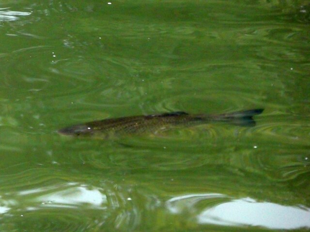
Godstow Holt is also home to a variety of wildlife, making it a popular spot for birdwatching and nature photography. Visitors may spot species such as woodpeckers, owls, and kingfishers, as well as small mammals like foxes, badgers, and squirrels. The woodland provides an important habitat for these creatures, offering food, shelter, and breeding grounds.
In addition to its natural beauty, Godstow Holt holds historical significance. It is believed to have been part of the ancient Royal Forest of Bernwood, which was once a vast hunting ground for English kings. The remnants of an old deer park wall still stand within the woodland, serving as a reminder of its past.
Overall, Godstow Holt is a captivating woodland retreat that showcases the beauty of Oxfordshire's natural landscapes. Whether for a leisurely stroll, birdwatching, or simply immersing oneself in the serenity of nature, this wood offers a peaceful sanctuary for visitors to enjoy.
If you have any feedback on the listing, please let us know in the comments section below.
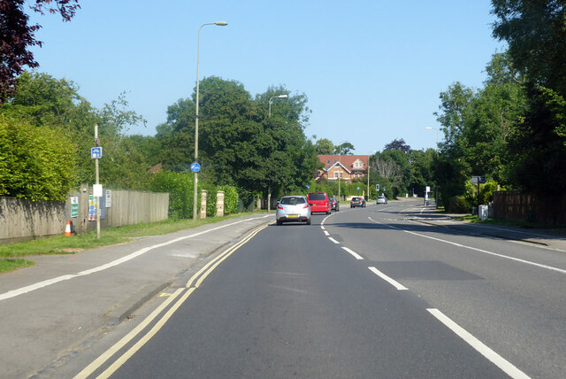
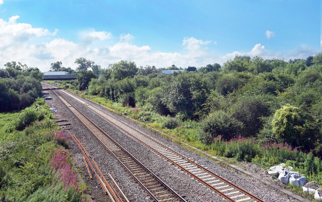
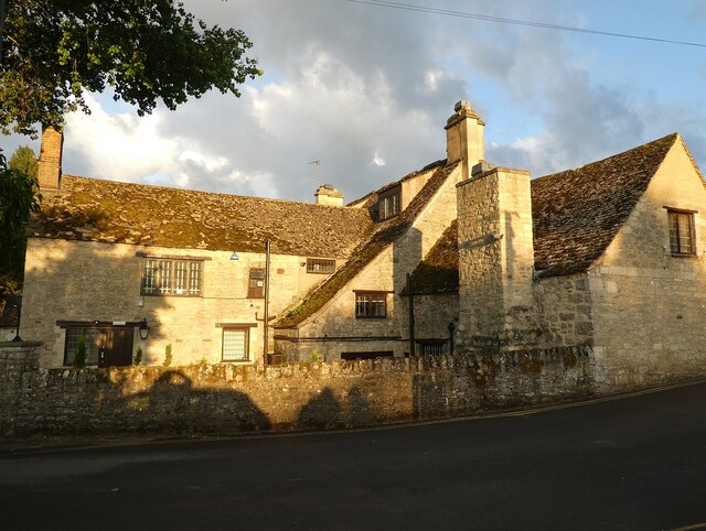
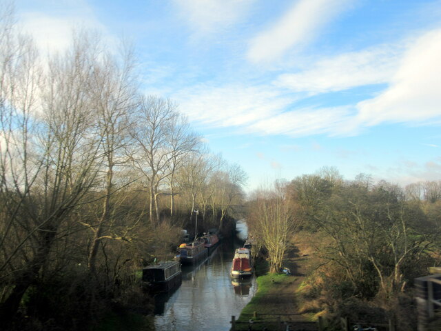
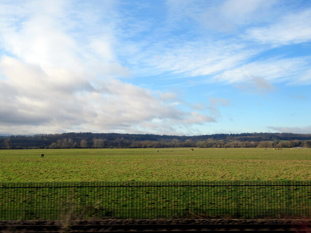
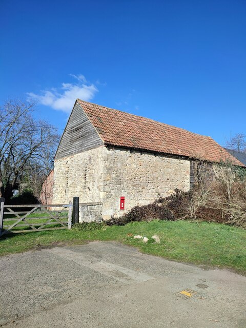
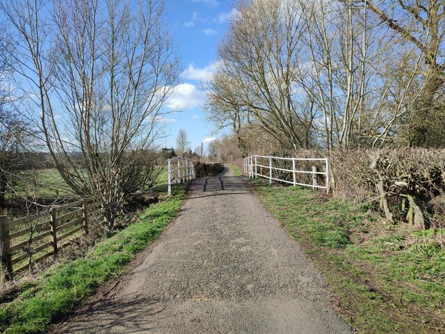
Godstow Holt Images
Images are sourced within 2km of 51.77421/-1.2996907 or Grid Reference SP4808. Thanks to Geograph Open Source API. All images are credited.

Godstow Holt is located at Grid Ref: SP4808 (Lat: 51.77421, Lng: -1.2996907)
Administrative County: Oxfordshire
District: Oxford
Police Authority: Thames Valley
What 3 Words
///votes.toxic.boil. Near Wolvercote, Oxfordshire
Nearby Locations
Related Wikis

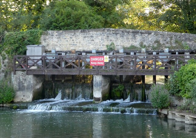
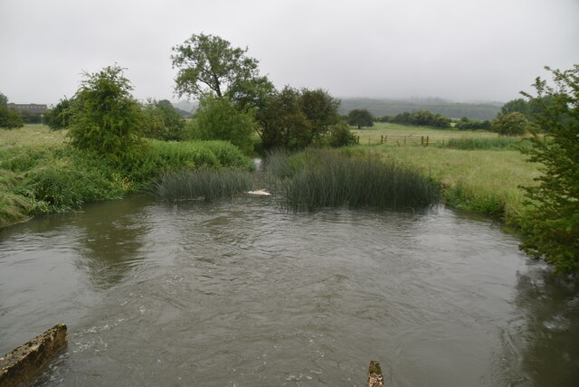
Godstow Lock
Godstow Lock is a lock on the River Thames in Oxfordshire, England. It is between the villages of Wolvercote and Wytham on the outskirts of Oxford. The...
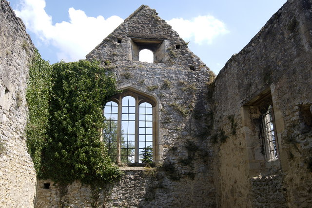
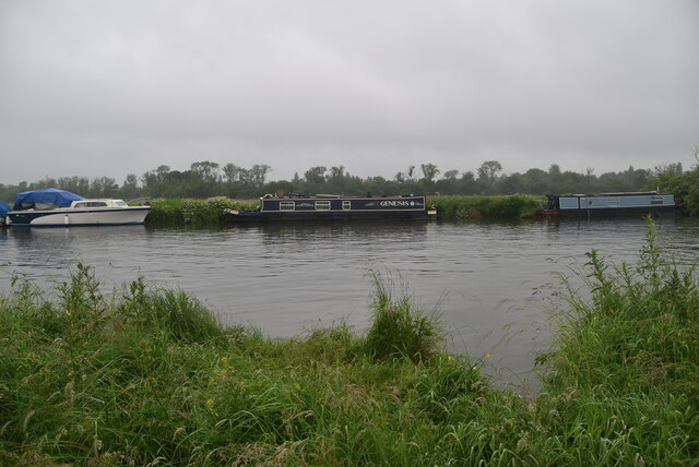
Godstow
Godstow is about 2.5 miles (4 km) northwest of the centre of Oxford. It lies on the banks of the River Thames between the villages of Wolvercote to the...

Binsey, Oxfordshire
Binsey is a small village on the west side of Oxford, in Oxfordshire, England. It lies on the banks of the River Thames about 1.5 miles (2.4 km) northwest...
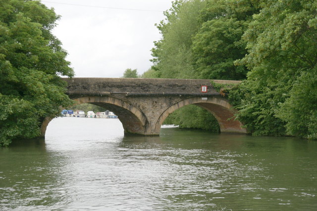
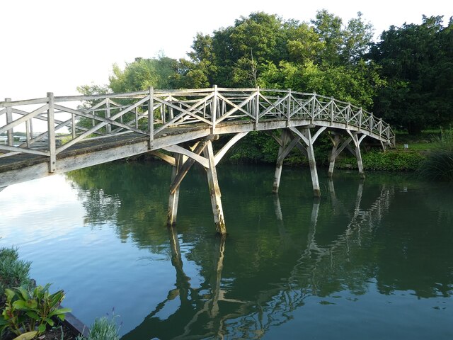
Godstow Bridge
Godstow Bridge is a road bridge across the River Thames in England at Godstow near Oxford. The bridge is just upstream of Godstow Lock on the reach to...

St Edward's School Boat Club
St Edward's School Boat Club is a rowing club on the River Thames based at St Edwards School Boathouse on Godstow Road, Oxford, Oxfordshire. It is the...

Headington School Oxford Boat Club
Headington School Oxford Boat Club (HSOBC for short) is a rowing club on the River Thames currently based in rented premises at St Edwards School Boathouse...
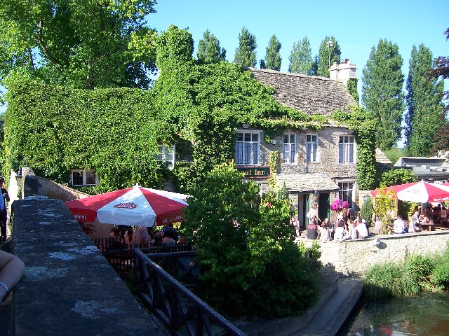
The Trout Inn
The Trout Inn (often simply referred to as The Trout) is a historic pub in Lower Wolvercote north of Oxford, close to Godstow Bridge, directly by the River...
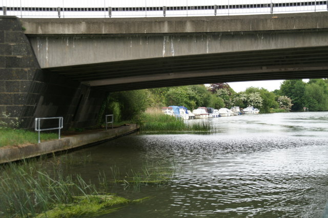
A34 Road Bridge
The A34 Road Bridge is a modern road bridge carrying the Oxford ring road (A34 road) at Oxford, England, across the River Thames. It crosses the Thames...
Nearby Amenities
Located within 500m of 51.77421,-1.2996907Have you been to Godstow Holt?
Leave your review of Godstow Holt below (or comments, questions and feedback).