Ash Spinney
Wood, Forest in Leicestershire North West Leicestershire
England
Ash Spinney

Ash Spinney is a charming woodland area located in Leicestershire, England. Situated in the heart of the county, it is known for its picturesque beauty and tranquil atmosphere. The spinney is part of a larger area called Ashby Woulds, which encompasses several woodlands and forests.
Covering an area of approximately 100 acres, Ash Spinney is made up of a diverse range of trees, including oak, ash, beech, and birch. These majestic trees create a dense canopy, providing shade and shelter for a variety of wildlife. The forest floor is adorned with a carpet of bluebells and other wildflowers during the spring, adding to its natural charm.
The woodland is a popular destination for nature enthusiasts and outdoor enthusiasts alike. There are numerous walking trails and paths that wind through the spinney, allowing visitors to explore its natural wonders. Birdwatchers will also delight in the opportunity to spot a wide array of bird species that make their home in the area, including woodpeckers, owls, and various songbirds.
In addition to its natural beauty, Ash Spinney also offers recreational facilities for visitors. There are picnic areas and benches scattered throughout the woodland, providing a perfect spot to relax and enjoy the surroundings. The area is also equipped with designated parking areas and well-maintained footpaths to ensure ease of access for visitors.
Overall, Ash Spinney is a haven of tranquility and a sanctuary for wildlife in Leicestershire. Its stunning natural scenery, diverse flora and fauna, and recreational facilities make it an ideal destination for those seeking a peaceful escape in the heart of nature.
If you have any feedback on the listing, please let us know in the comments section below.
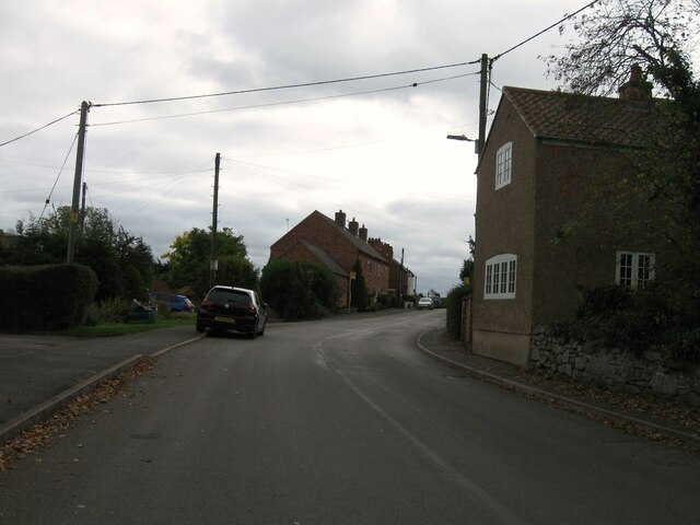
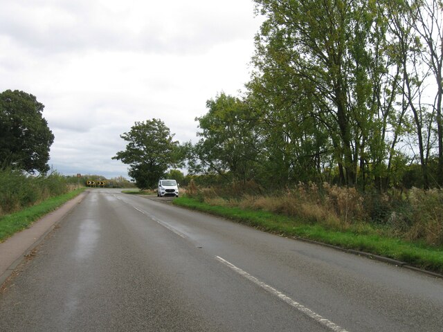
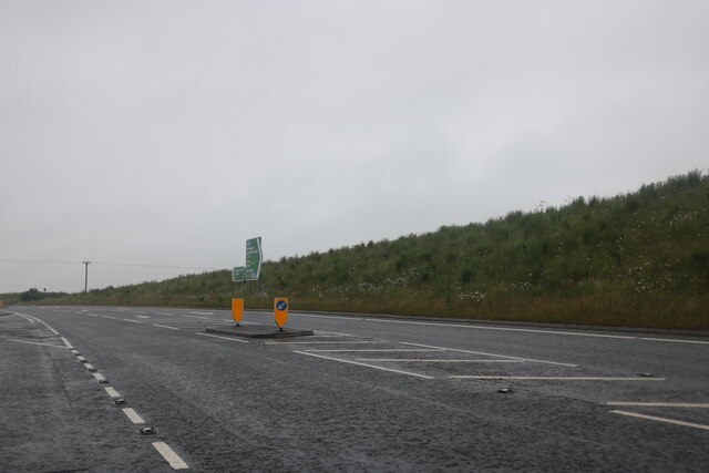
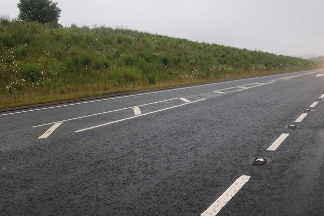
Ash Spinney Images
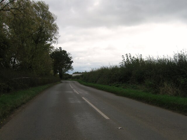
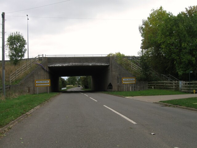
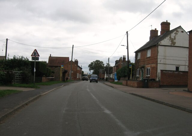
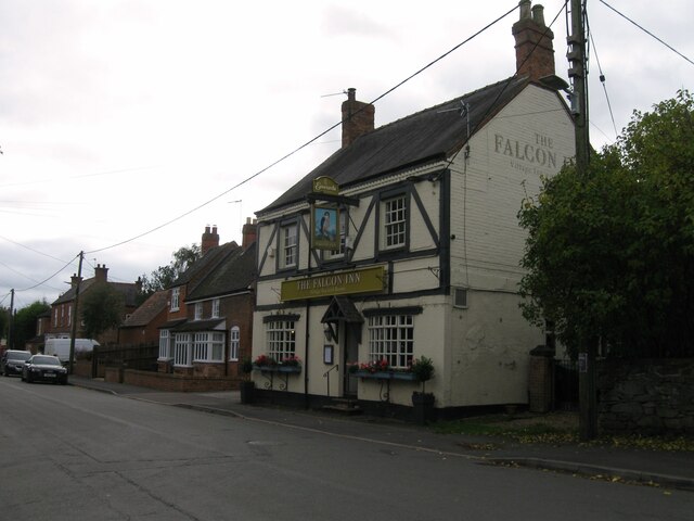
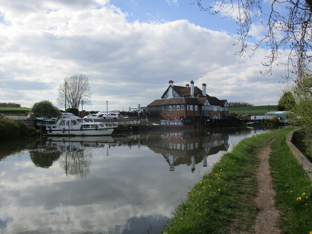
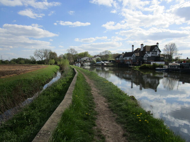
Images are sourced within 2km of 52.813547/-1.2951577 or Grid Reference SK4724. Thanks to Geograph Open Source API. All images are credited.


Ash Spinney is located at Grid Ref: SK4724 (Lat: 52.813547, Lng: -1.2951577)
Administrative County: Leicestershire
District: North West Leicestershire
Police Authority: Leicestershire
What 3 Words
///warnings.unfilled.churn. Near Long Whatton, Leicestershire
Nearby Locations
Related Wikis

Long Whatton
Long Whatton is a village and former civil parish, now in the parish of Long Whatton and Diseworth, in the North West Leicestershire district, in the English...
Long Whatton and Diseworth
Long Whatton and Diseworth, formerly just Long Whatton is a civil parish in the North West Leicestershire district of Leicestershire, England. The parish...
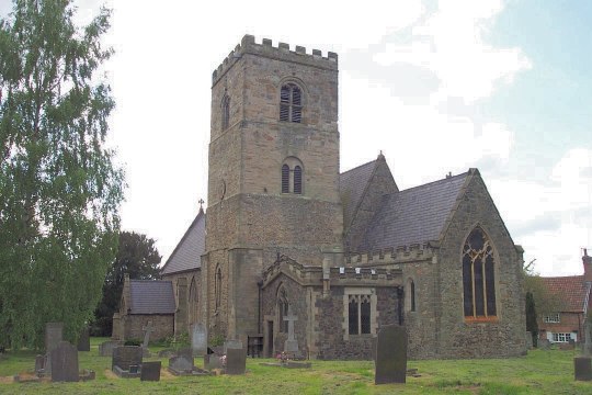
All Saints Church, Long Whatton
All Saints Church is in the village of Long Whatton, Leicestershire, England. It is an active Anglican parish church in the deanery of Akeley East, the...

Donington Park motorway services
Donington Park is a motorway service station owned by Moto, near Kegworth village in the English East Midlands. It is accessed from the M1 motorway by...

Castle Donington Rural District
The rural district of Castle Donington in Leicestershire, England, was formed in 1894 and abolished in 1974. It was formed by the Local Government Act...

Kegworth air disaster
The Kegworth air disaster occurred when British Midland Airways Flight 092, a Boeing 737-400, crashed onto the motorway embankment between the M1 motorway...

St Michael and All Angels' Church, Diseworth
St Michael and All Angels' Church, Diseworth is a Grade II* listed Church of England church in Kegworth, Leicestershire. == History == The church dates...
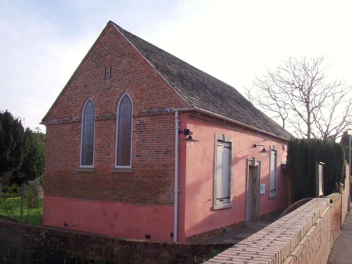
Diseworth Heritage Centre
Diseworth Heritage Centre is a community-based, not-for-profit heritage centre, at the heart of the Leicestershire village of Diseworth. It was made possible...
Nearby Amenities
Located within 500m of 52.813547,-1.2951577Have you been to Ash Spinney?
Leave your review of Ash Spinney below (or comments, questions and feedback).