Terrace Wood
Wood, Forest in Derbyshire Bolsover
England
Terrace Wood

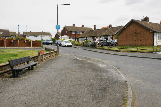
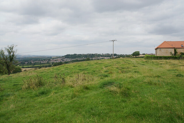
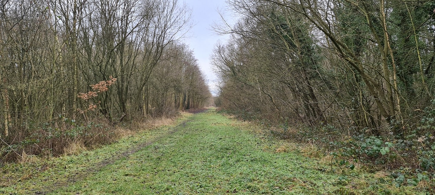
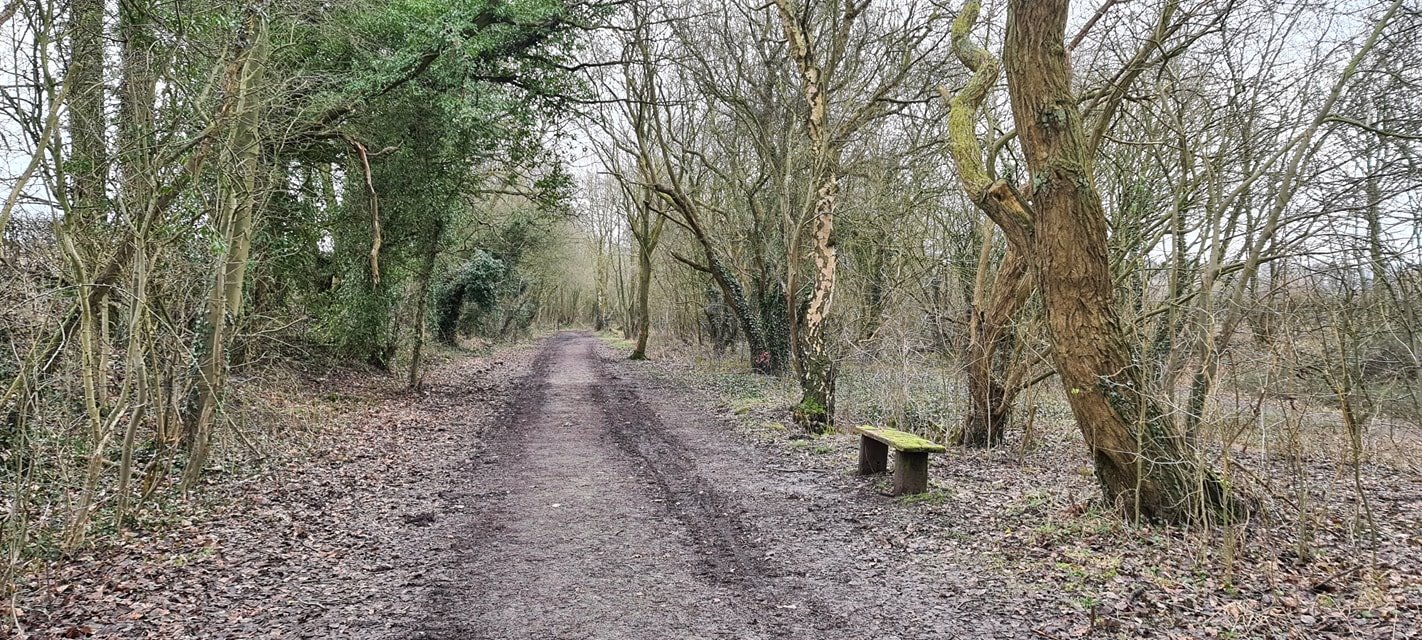
Terrace Wood, located in Derbyshire, is a picturesque forest area that spans over several acres of land. Situated in the heart of the county, Terrace Wood is a popular destination for nature enthusiasts and outdoor lovers alike.
The wood is characterized by its dense vegetation, consisting of a variety of trees including oak, beech, and ash. These towering trees create a lush canopy that provides shade and shelter to a diverse range of wildlife. Visitors can expect to encounter various species of birds, squirrels, and even deer while exploring the wood.
Tranquility and serenity are the hallmarks of Terrace Wood, making it an ideal escape from the hustle and bustle of city life. The well-maintained footpaths and trails winding through the wood allow visitors to immerse themselves in its beauty while enjoying a leisurely stroll or a more adventurous hike.
In addition to its natural splendor, Terrace Wood also boasts historical significance. The remnants of an ancient Roman road can be found within the forest, serving as a reminder of the area's rich past. This adds an element of intrigue and fascination for history enthusiasts.
Whether it is a peaceful walk, a family picnic, or a chance to observe and appreciate the wonders of nature, Terrace Wood offers something for everyone. Its idyllic setting, combined with its natural beauty and historical significance, makes it a must-visit destination for those seeking a tranquil retreat in Derbyshire.
If you have any feedback on the listing, please let us know in the comments section below.
Terrace Wood Images
Images are sourced within 2km of 53.196635/-1.288922 or Grid Reference SK4766. Thanks to Geograph Open Source API. All images are credited.


Terrace Wood is located at Grid Ref: SK4766 (Lat: 53.196635, Lng: -1.288922)
Administrative County: Derbyshire
District: Bolsover
Police Authority: Derbyshire
What 3 Words
///crucially.airtime.groomed. Near Glapwell, Derbyshire
Nearby Locations
Related Wikis

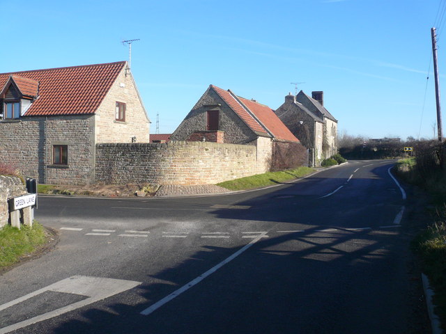
Glapwell
Glapwell is a village and civil parish on the A617 road in the Bolsover District of north-east Derbyshire, between the towns of Chesterfield (7 miles)...
Glapwell railway station
Glapwell is a former railway station in Glapwell, Derbyshire, England. == Context == The station was built by the Midland Railway on the circuitous Barrow...

Rowthorn Tunnel
Rowthorn Tunnel is a former railway tunnel between Glapwell and Rowthorn and Hardwick stations southeast of Chesterfield, Derbyshire, England. Some sources...

Doe Lea
Doe Lea is a small, linear village in the English county of Derbyshire. It is in the Bolsover district of the county and falls in the Ault Hucknall civil...
Stony Houghton
Stony Houghton is a hamlet near Glapwell, part of the parish of Pleasley in Derbyshire, England, close to New Houghton. It is a very quiet area consisting...
Ault Hucknall
Ault Hucknall (Old English: Hucca's nook of land) is a village and civil parish in the Bolsover district of Derbyshire, England. The population of the...
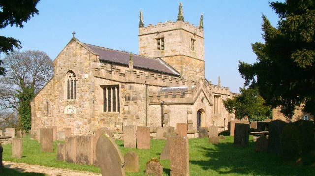
St John the Baptist's Church, Ault Hucknall
St John the Baptist's Church, Ault Hucknall, is a Grade I listed parish church in the Church of England in Ault Hucknall, Derbyshire. == History == The...
Rowthorn and Hardwick railway station
Rowthorn and Hardwick is a former railway station in Rowthorn (often written "Rowthorne"), near Glapwell, Derbyshire, England. == Context == The station...
Nearby Amenities
Located within 500m of 53.196635,-1.288922Have you been to Terrace Wood?
Leave your review of Terrace Wood below (or comments, questions and feedback).