Ram Spinney
Wood, Forest in Oxfordshire Cherwell
England
Ram Spinney

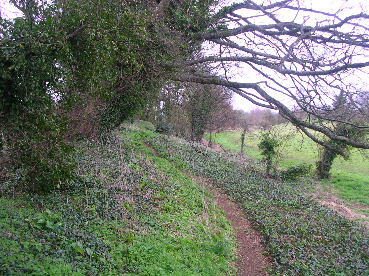
Ram Spinney is a picturesque woodland located in Oxfordshire, England. Situated near the village of Wood, it is renowned for its natural beauty and tranquil atmosphere. Covering an area of approximately 50 acres, Ram Spinney is a haven for nature enthusiasts and those seeking solace in the great outdoors.
The woodland is primarily composed of ancient oak trees, which provide a stunning canopy of greenery throughout the year. It also features a diverse range of flora and fauna, including bluebells, primroses, and an array of bird species. The forest floor is carpeted with a rich tapestry of mosses, ferns, and wildflowers, creating a vibrant and enchanting setting.
The winding pathways that meander through Ram Spinney invite visitors to explore its hidden corners and discover its hidden treasures. The peaceful ambience of the woodland makes it an ideal location for walking, jogging, or simply immersing oneself in nature. There are also designated areas for picnicking, allowing visitors to relax and enjoy the tranquil surroundings.
Ram Spinney is a popular destination for families, as it offers a range of activities for children. There is a small adventure playground nestled within the woodland, providing entertainment and adventure for young ones. Additionally, the woodland is home to a variety of wildlife, making it an educational experience for children to learn about the natural world.
Overall, Ram Spinney in Oxfordshire is a magical woodland retreat, offering a serene and immersive experience in nature. With its ancient oak trees, vibrant flora, and peaceful atmosphere, it is a place where visitors can escape the noise of everyday life and reconnect with the beauty of the natural world.
If you have any feedback on the listing, please let us know in the comments section below.
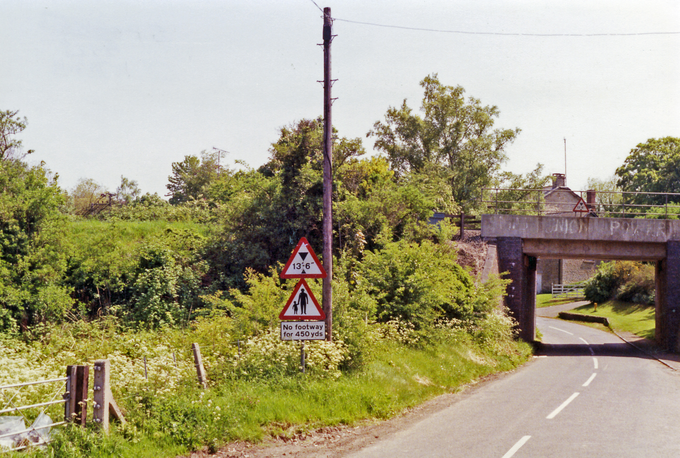
Ram Spinney Images
Images are sourced within 2km of 51.962319/-1.308582 or Grid Reference SP4729. Thanks to Geograph Open Source API. All images are credited.


Ram Spinney is located at Grid Ref: SP4729 (Lat: 51.962319, Lng: -1.308582)
Administrative County: Oxfordshire
District: Cherwell
Police Authority: Thames Valley
What 3 Words
///phones.destiny.amps. Near Deddington, Oxfordshire
Nearby Locations
Related Wikis

Banbury (UK Parliament constituency)
Banbury, also informally known as Banbury and North Oxfordshire, is a constituency in Oxfordshire created in 1553 and represented in the House of Commons...
North Aston
North Aston is a village and civil parish about 7+1⁄2 miles (12 km) south of Banbury and 10 miles (16 km) north of Oxford. The 2001 Census recorded its...
A4260 road
The A4260 is a road that leads from the A422 Henneff Way, Banbury to Frieze Way near Oxford. == History == === Romans === The route followed by the road...

Duns Tew
Duns Tew is an English village and civil parish about 7+1⁄2 miles (12 km) south of Banbury in Oxfordshire. The 2011 Census recorded the parish's population...
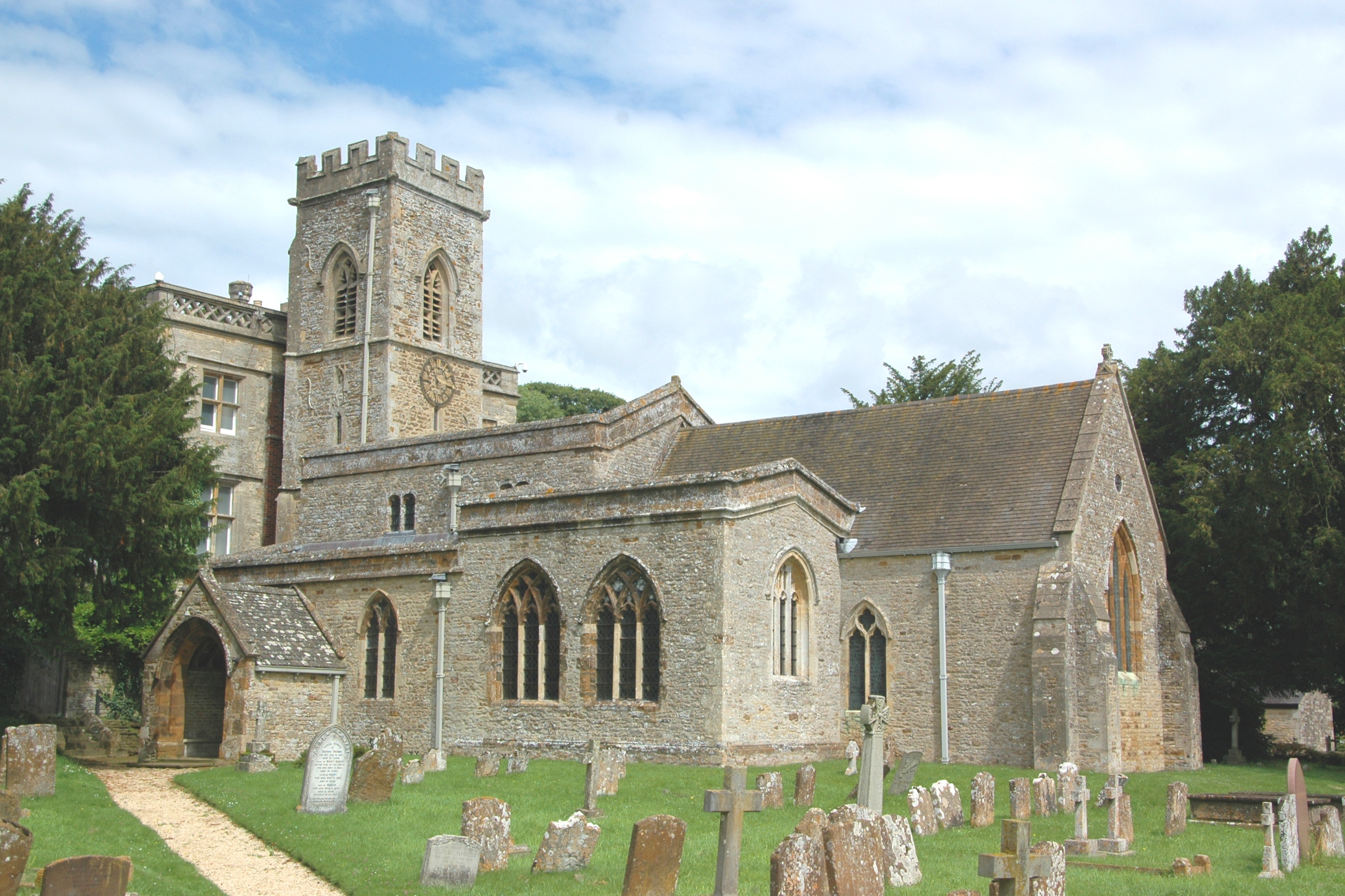
Deddington Castle
Deddington Castle is an extensive earthwork in the village of Deddington, Oxfordshire, all that remains of an 11th-century motte-and-bailey castle, with...
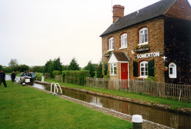
Fritwell & Somerton railway station
Fritwell & Somerton railway station was on the Oxford to Banbury line of the Great Western Railway, and was opened four years after the line, in September...

Deddington Town Hall
Deddington Town Hall is a municipal building in the Market Place in Deddington in Oxfordshire, England. The structure, which is used for community events...
Deddington
Deddington is a civil parish and small town in Oxfordshire about 6 miles (10 km) south of Banbury. The parish includes two hamlets: Clifton and Hempton...
Nearby Amenities
Located within 500m of 51.962319,-1.308582Have you been to Ram Spinney?
Leave your review of Ram Spinney below (or comments, questions and feedback).