High Wood

Wood, Forest in Berkshire

England

High Wood

Greenham Common The interesting looking Bunker Farm - The house is made of cob, a mixture of clay, stone and straw, and the walls are approx 3ft thick. The rest of the square is a mixture of woodland, farmland and the old Greenham Common Airbase.
Greenham Common Credit: Brendan and Ruth McCartney

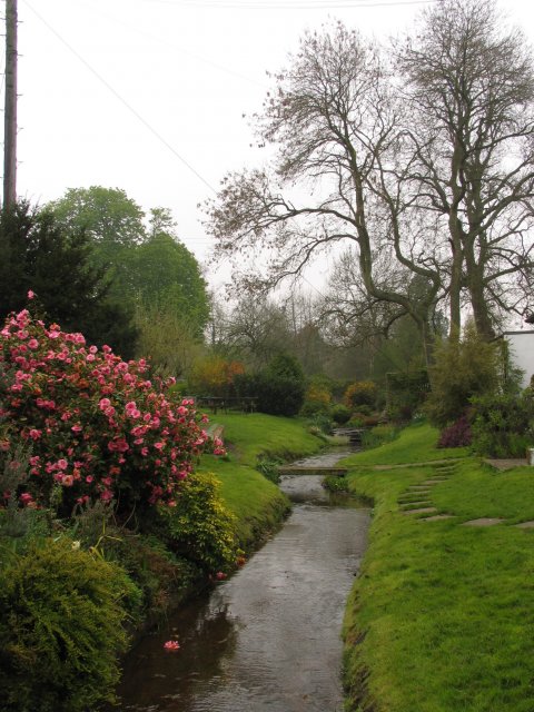
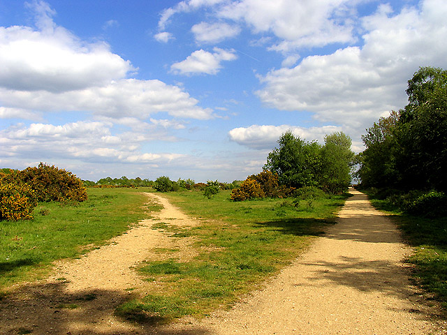
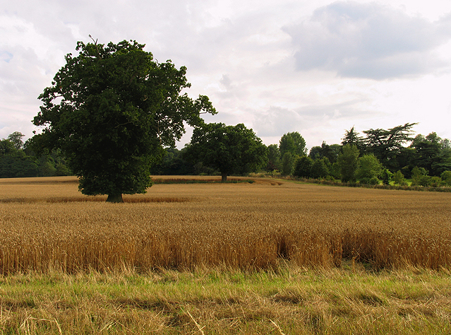
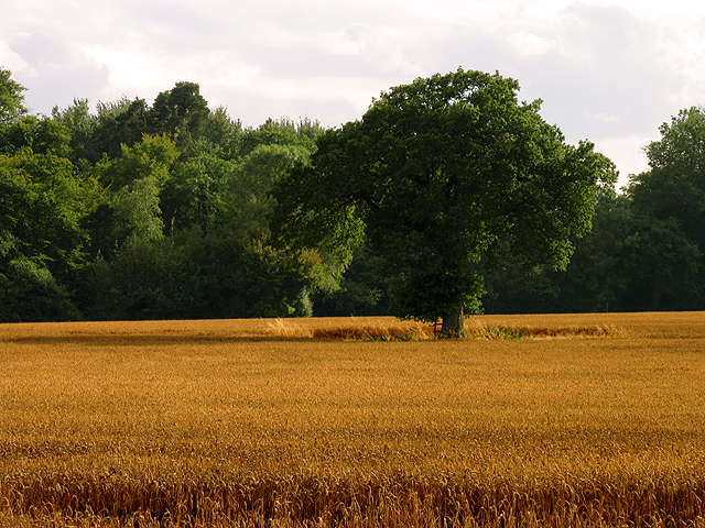
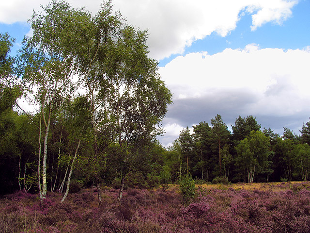
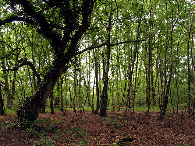
High Wood is a picturesque woodland located in the county of Berkshire, England. Situated near the village of Wood, the forest covers an area of approximately 100 hectares. It is known for its diverse range of tree species, including oak, beech, ash, and birch, which provide a rich and vibrant canopy throughout the year.

The woodland is a popular destination for nature enthusiasts and hikers, offering numerous trails and pathways that wind through its tranquil surroundings. These paths provide opportunities for visitors to explore the natural beauty of the area and enjoy the peacefulness and serenity that High Wood has to offer.

The forest is home to a variety of wildlife, with sightings of deer, squirrels, and a wide range of bird species being common. Nature lovers can often spot woodpeckers, song thrushes, and tawny owls amidst the dense foliage and towering trees.

High Wood also holds historical significance, with evidence of human activity dating back to ancient times. Archaeological remains, including Iron Age artifacts and Roman pottery, have been discovered in the woodland, shedding light on its past inhabitants and their way of life.

Overall, High Wood in Berkshire is a haven for those seeking a peaceful escape in nature. With its lush greenery, diverse flora and fauna, and rich history, it offers a unique blend of natural beauty and cultural heritage.

If you have any feedback on the listing, please let us know in the comments section below.
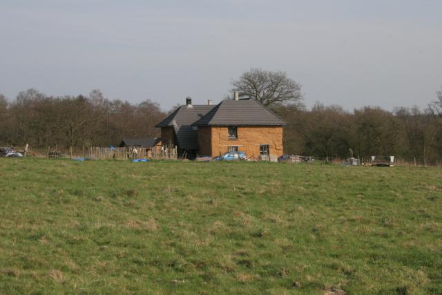
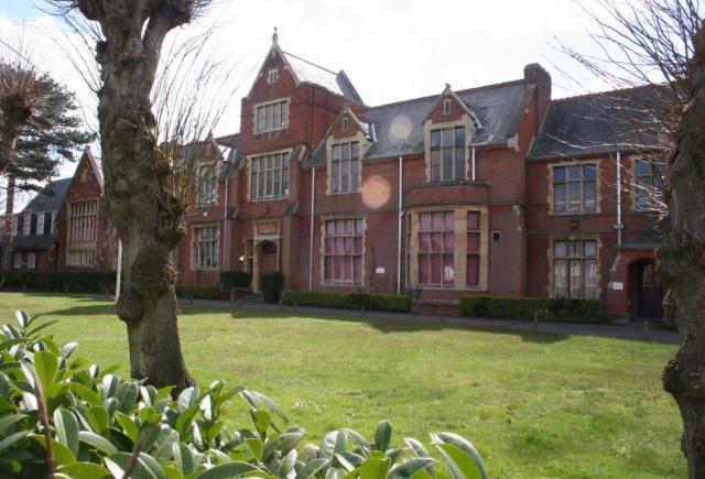
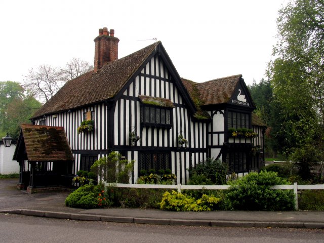
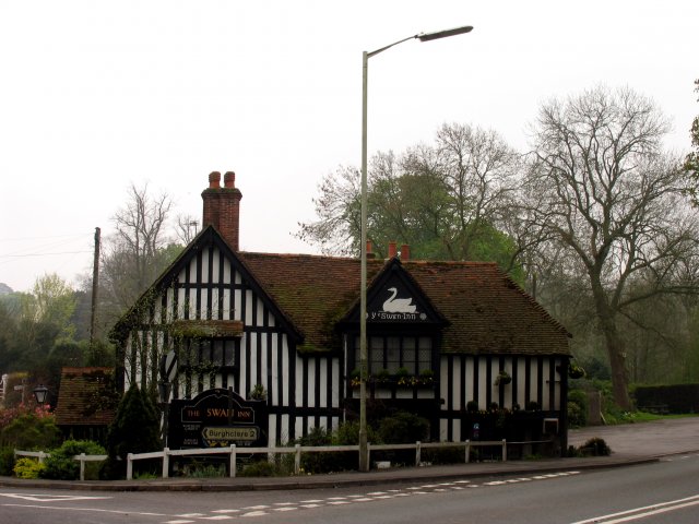
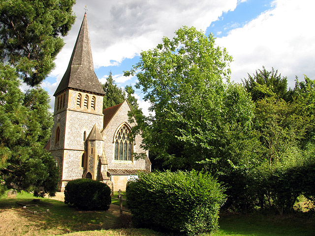
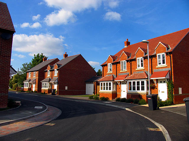
High Wood Images

Images are sourced within 2km of 51.378904/-1.3251492 or Grid Reference SU4764. Thanks to Geograph Open Source API. All images are credited.

Greenham Common The interesting looking Bunker Farm - The house is made of cob, a mixture of clay, stone and straw, and the walls are approx 3ft thick. The rest of the square is a mixture of woodland, farmland and the old Greenham Common Airbase.
Greenham Common
The interesting looking Bunker Farm - The house is made of cob, a mixture of clay, stone and straw, and the walls are approx 3ft thick. The rest of the square is a mixture of woodland, farmland and the old Greenham Common Airbase.
Newbury St Bartholomew's School, Newbury
Newbury
St Bartholomew's School, Newbury
Wash Common The large water tower in the northern part of the square, which is largely residential housing estates.
Wash Common
The large water tower in the northern part of the square, which is largely residential housing estates.
Ye Olde Swan Inn This pub is situated below the Church in this square, at the intersection. This picture was taken looking south.
Ye Olde Swan Inn
This pub is situated below the Church in this square, at the intersection. This picture was taken looking south.
Ye Olde Swan Inn The pub lies in the extreme north of the square, in the eastern quadrant. As one comes down from the grid north of this one and as one passes over the riverbridge, the pub is in view between the B4640 and the junction with the road to Burgchlere, before it forks.
Ye Olde Swan Inn
The pub lies in the extreme north of the square, in the eastern quadrant. As one comes down from the grid north of this one and as one passes over the riverbridge, the pub is in view between the B4640 and the junction with the road to Burgchlere, before it forks.
The Stream alongside Ye Olde Swan Inn This stream runs diagonally through the square from  NE-SW and is on the eastern side of the pub, between the pub and the road into Newtown.
The Stream alongside Ye Olde Swan Inn
This stream runs diagonally through the square from NE-SW and is on the eastern side of the pub, between the pub and the road into Newtown.
Greenham and Crookham Common Nature Reserve This area of the common is a nature reserve. This was taken from one of the reserves parking places in the lower half of the grid square west of the centre, looking south east along the edge of the copse.
Greenham and Crookham Common Nature Reserve
This area of the common is a nature reserve. This was taken from one of the reserves parking places in the lower half of the grid square west of the centre, looking south east along the edge of the copse.
Newbury Rugby Football Club The rugby field, clubhouse and stand are situated in the northern half of the grid square. This picture was taken looking more or less south east.
Newbury Rugby Football Club
The rugby field, clubhouse and stand are situated in the northern half of the grid square. This picture was taken looking more or less south east.
Tescos Newbury The Supermarket is situated in a retail park along with motor dealers etc in the southern section of the grid square.
Tescos Newbury
The Supermarket is situated in a retail park along with motor dealers etc in the southern section of the grid square.
Newtown Church Newtown Church
Newtown Church
Newtown Church
Farmland in Newtown This field is in the eastern half of the square between the edge of the square and Newtown house.
Farmland in Newtown
This field is in the eastern half of the square between the edge of the square and Newtown house.
Farmland near Newtown This field is in the north western section of the square, south of the road. The bearing looks more or less south east towards Arbuthnot Wood.
Farmland near Newtown
This field is in the north western section of the square, south of the road. The bearing looks more or less south east towards Arbuthnot Wood.
Heather field: Newtown A surprise heather field in wooded area (mostly birch) near Newtown Grange and Newtown. This field is in the north western section of the square. The picture was taken from the footpath.
Heather field: Newtown
A surprise heather field in wooded area (mostly birch) near Newtown Grange and Newtown. This field is in the north western section of the square. The picture was taken from the footpath.
Woodland near Newtown This square is mostly woodland and farmland, with some detached residences spread across the square. There is also a school down one of the private roads in the square. This woodland is in the eastern section of the square.
Woodland near Newtown
This square is mostly woodland and farmland, with some detached residences spread across the square. There is also a school down one of the private roads in the square. This woodland is in the eastern section of the square.
Diocese of Winchester: Newtown Church This church is south west of the village, in the north eastern section of the square.
Diocese of Winchester: Newtown Church
This church is south west of the village, in the north eastern section of the square.
Modern Housing Development New houses in the north eastern section of the square.
Modern Housing Development
New houses in the north eastern section of the square.
Modern Dwelling between Enborne and Newtown This square is almost all residential with a number of new housing developments. This is an example of one of them.
Modern Dwelling between Enborne and Newtown
This square is almost all residential with a number of new housing developments. This is an example of one of them.
Road into Newbury This road is at the intersection on the south eastern edge of the square.
Road into Newbury
This road is at the intersection on the south eastern edge of the square.
Show me another place!

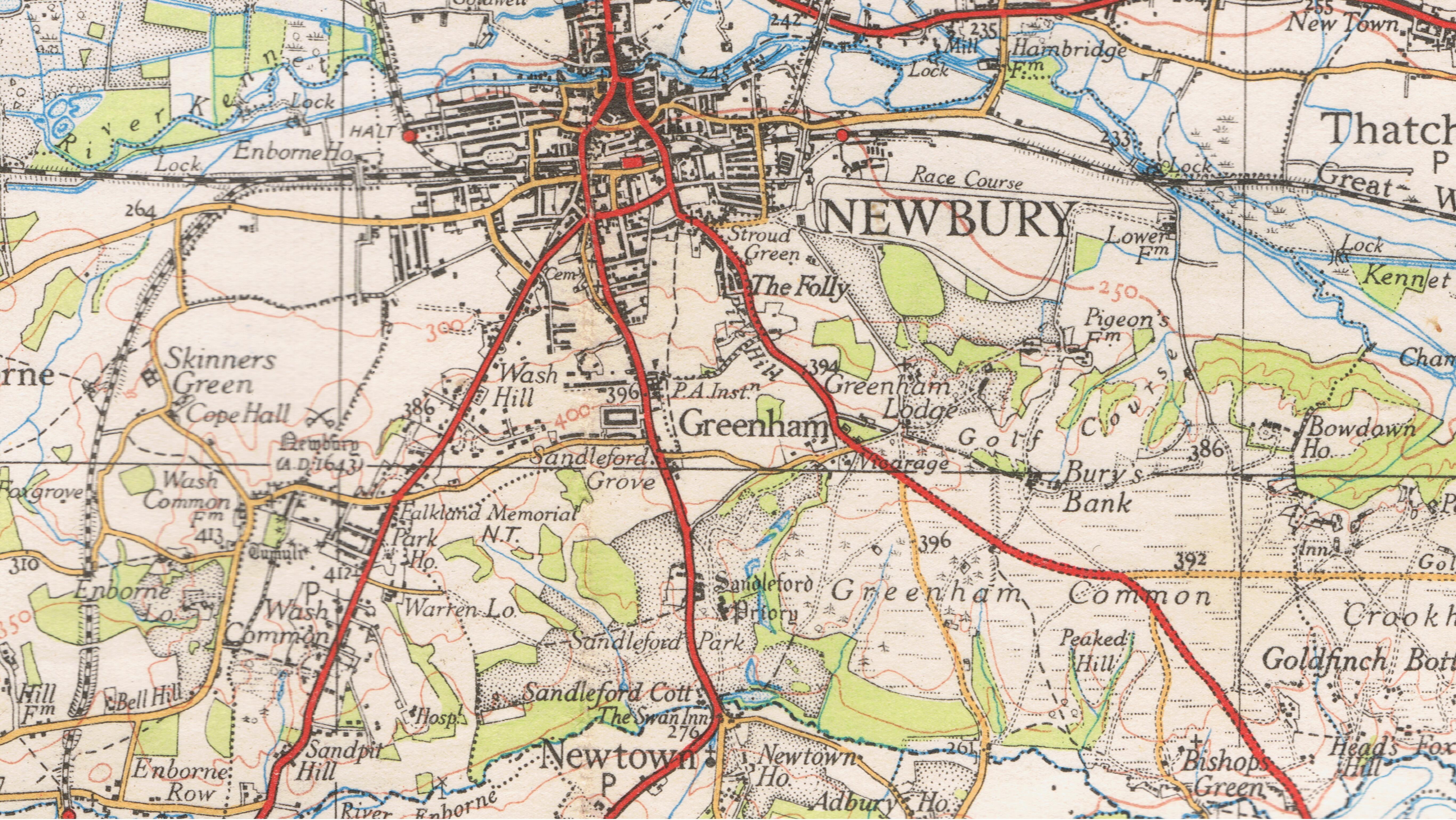
High Wood is located at Grid Ref: SU4764 (Lat: 51.378904, Lng: -1.3251492)

Unitary Authority: West Berkshire

Police Authority: Thames Valley

What 3 Words

///icon.assist.began. Near Greenham, Berkshire

Related Wikis

Newbury College (England)

Newbury College is a college of further education in the southern outskirts of Newbury, Berkshire, England, for anyone aged 16 or over. == Courses == The...

St Gabriel's School

St Gabriel's School is a private co-educational day school (Nursery, Junior School, Senior School & Sixth Form) located at Sandleford Priory in Sandleford...

Sandleford Priory (country house)

Sandleford Priory is a largely 18th century country house at Sandleford in the civil parish of Greenham in the English county of Berkshire. It incorporates...

Sandleford

Sandleford is a hamlet and former parish in the English county of Berkshire. Since at least 1924, the settlement has been within the civil parish of Greenham...

Nearby Amenities

Located within 500m of 51.378904,-1.3251492
Bus Stop
St Gabriels School
Naptan AtcoCode: 030055500002
Naptan NaptanCode: brkpamj
Lat/Long: 51.3771716/-1.3189081
Bus Stop
Deadmans Lane
Naptan AtcoCode: 030051750001
Naptan NaptanCode: brkgjwt
Lat/Long: 51.3808002/-1.3190366
Bus Stop
Deadmans Lane
Bench: no
Bin: no
Shelter: no
Lat/Long: 51.3817778/-1.3197661
Entrance: yes
Lat/Long: 51.3827951/-1.3228829
Mini Roundabout
Lat/Long: 51.3817125/-1.3210651
Bench
Lat/Long: 51.3820142/-1.3236141
Bench
Lat/Long: 51.3820125/-1.3235658
Bench
Lat/Long: 51.3820133/-1.3233539
Bench
Lat/Long: 51.382015/-1.3234022
Bench
Lat/Long: 51.382015/-1.3231554
Bench
Lat/Long: 51.3820167/-1.3232037
Entrance: yes
Lat/Long: 51.3820981/-1.3229489
Crossing
Crossing: uncontrolled
Crossing Markings: yes
Lat/Long: 51.3817155/-1.3219129
Crossing
Crossing: unmarked
Crossing Markings: no
Lat/Long: 51.3804468/-1.3218681
Crossing
Crossing: uncontrolled
Crossing Markings: yes
Lat/Long: 51.3802937/-1.3217403
Crossing
Crossing: uncontrolled
Crossing Markings: yes
Lat/Long: 51.3802081/-1.322558
Crossing
Crossing: unmarked
Crossing Markings: no
Lat/Long: 51.3803669/-1.3224994
Crossing
Crossing: unmarked
Crossing Markings: no
Lat/Long: 51.3808367/-1.3212665
Crossing
Crossing: uncontrolled
Crossing Markings: yes
Lat/Long: 51.3818395/-1.3239937
The data included in this document is from www.openstreetmap.org. The data is made available under ODbL.

Have you been to High Wood?

Leave your review of High Wood below (or comments, questions and feedback).