Brown's Pond

Lake, Pool, Pond, Freshwater Marsh in Berkshire

England

Brown's Pond

Greenham Common The interesting looking Bunker Farm - The house is made of cob, a mixture of clay, stone and straw, and the walls are approx 3ft thick. The rest of the square is a mixture of woodland, farmland and the old Greenham Common Airbase.
Greenham Common Credit: Brendan and Ruth McCartney

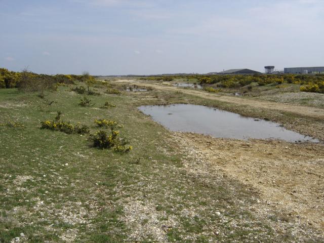
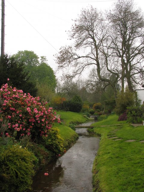
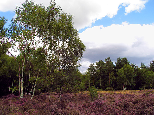
Brown's Pond is a picturesque body of water located in Berkshire, England. Nestled amidst lush greenery and surrounded by rolling hills, it is a popular destination for nature enthusiasts and locals alike. Spanning an area of approximately 10 acres, Brown's Pond is classified as a freshwater pond and is characterized by its calm and serene atmosphere.

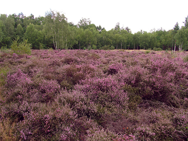
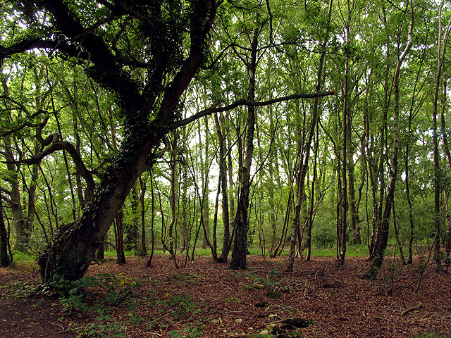
The pond is fed by several natural springs, ensuring a constant flow of fresh water throughout the year. Its crystal-clear waters are home to a variety of aquatic plants and animals, including fish, frogs, and waterfowl. The abundant vegetation surrounding the pond provides a habitat for numerous bird species, making it a haven for birdwatchers.

Visitors to Brown's Pond can enjoy a range of recreational activities. Fishing is particularly popular, with the pond being well-stocked with species such as carp, roach, and perch. The tranquil surroundings also make it an ideal spot for picnicking and relaxation.

The pond is easily accessible, with a well-maintained footpath leading to its shores. There are no designated swimming areas, but some adventurous visitors may choose to take a refreshing dip in the cool waters during the warmer months.

Brown's Pond is a place of natural beauty and tranquility, offering a peaceful retreat from the hustle and bustle of everyday life. Whether it's fishing, birdwatching, or simply enjoying the scenic surroundings, this idyllic freshwater pond provides a delightful escape for those seeking a connection with nature.

If you have any feedback on the listing, please let us know in the comments section below.
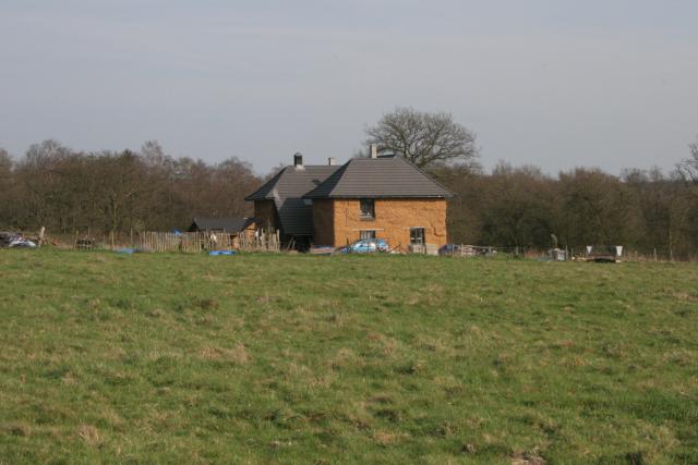
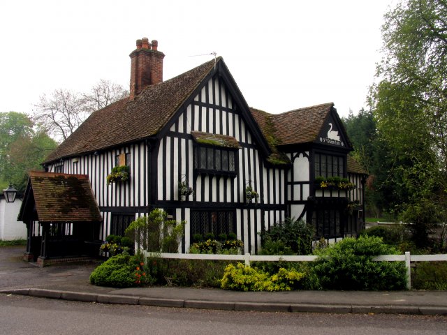
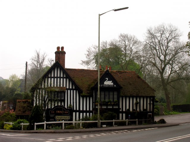
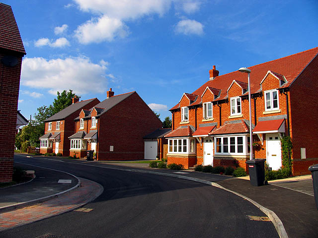
Brown's Pond Images

Images are sourced within 2km of 51.376927/-1.3129513 or Grid Reference SU4764. Thanks to Geograph Open Source API. All images are credited.

Greenham Common The interesting looking Bunker Farm - The house is made of cob, a mixture of clay, stone and straw, and the walls are approx 3ft thick. The rest of the square is a mixture of woodland, farmland and the old Greenham Common Airbase.
Greenham Common
The interesting looking Bunker Farm - The house is made of cob, a mixture of clay, stone and straw, and the walls are approx 3ft thick. The rest of the square is a mixture of woodland, farmland and the old Greenham Common Airbase.
Greenham Common - Main Runway This is what is left of the main runway looking SE from N51°22.819 W001°17.641. The runway was dug up and used as hardcore for the A34 Newbury bypass.
Greenham Common - Main Runway
This is what is left of the main runway looking SE from N51°22.819 W001°17.641. The runway was dug up and used as hardcore for the A34 Newbury bypass.
Ye Olde Swan Inn This pub is situated below the Church in this square, at the intersection. This picture was taken looking south.
Ye Olde Swan Inn
This pub is situated below the Church in this square, at the intersection. This picture was taken looking south.
Ye Olde Swan Inn The pub lies in the extreme north of the square, in the eastern quadrant. As one comes down from the grid north of this one and as one passes over the riverbridge, the pub is in view between the B4640 and the junction with the road to Burgchlere, before it forks.
Ye Olde Swan Inn
The pub lies in the extreme north of the square, in the eastern quadrant. As one comes down from the grid north of this one and as one passes over the riverbridge, the pub is in view between the B4640 and the junction with the road to Burgchlere, before it forks.
The Stream alongside Ye Olde Swan Inn This stream runs diagonally through the square from  NE-SW and is on the eastern side of the pub, between the pub and the road into Newtown.
The Stream alongside Ye Olde Swan Inn
This stream runs diagonally through the square from NE-SW and is on the eastern side of the pub, between the pub and the road into Newtown.
Greenham and Crookham Common Nature Reserve This area of the common is a nature reserve. This was taken from one of the reserves parking places in the lower half of the grid square west of the centre, looking south east along the edge of the copse.
Greenham and Crookham Common Nature Reserve
This area of the common is a nature reserve. This was taken from one of the reserves parking places in the lower half of the grid square west of the centre, looking south east along the edge of the copse.
Newbury Rugby Football Club The rugby field, clubhouse and stand are situated in the northern half of the grid square. This picture was taken looking more or less south east.
Newbury Rugby Football Club
The rugby field, clubhouse and stand are situated in the northern half of the grid square. This picture was taken looking more or less south east.
Tescos Newbury The Supermarket is situated in a retail park along with motor dealers etc in the southern section of the grid square.
Tescos Newbury
The Supermarket is situated in a retail park along with motor dealers etc in the southern section of the grid square.
Newtown Church Newtown Church
Newtown Church
Newtown Church
Warehouse Road: New Greenham Park This square consists of Greenham Common, the business park and some copses.
Warehouse Road: New Greenham Park
This square consists of Greenham Common, the business park and some copses.
Silver Birch: Bark and Bracken A closeup of the birch bark . This birch copse is also overgrown with bracken.
Silver Birch: Bark and Bracken
A closeup of the birch bark . This birch copse is also overgrown with bracken.
Farmland in Newtown This field is in the eastern half of the square between the edge of the square and Newtown house.
Farmland in Newtown
This field is in the eastern half of the square between the edge of the square and Newtown house.
Farmland near Newtown This field is in the north western section of the square, south of the road. The bearing looks more or less south east towards Arbuthnot Wood.
Farmland near Newtown
This field is in the north western section of the square, south of the road. The bearing looks more or less south east towards Arbuthnot Wood.
Heather field: Newtown A surprise heather field in wooded area (mostly birch) near Newtown Grange and Newtown. This field is in the north western section of the square. The picture was taken from the footpath.
Heather field: Newtown
A surprise heather field in wooded area (mostly birch) near Newtown Grange and Newtown. This field is in the north western section of the square. The picture was taken from the footpath.
Heather near Newtown This heather field is alongside woodland in the north western section of the square. The square is mostly woodland or plantation with isolated detached residences spread across the square, mostly off the minor road and Sheepwash Lane.
Heather near Newtown
This heather field is alongside woodland in the north western section of the square. The square is mostly woodland or plantation with isolated detached residences spread across the square, mostly off the minor road and Sheepwash Lane.
Woodland near Newtown This square is mostly woodland and farmland, with some detached residences spread across the square. There is also a school down one of the private roads in the square. This woodland is in the eastern section of the square.
Woodland near Newtown
This square is mostly woodland and farmland, with some detached residences spread across the square. There is also a school down one of the private roads in the square. This woodland is in the eastern section of the square.
Diocese of Winchester: Newtown Church This church is south west of the village, in the north eastern section of the square.
Diocese of Winchester: Newtown Church
This church is south west of the village, in the north eastern section of the square.
Modern Housing Development New houses in the north eastern section of the square.
Modern Housing Development
New houses in the north eastern section of the square.
Show me another place!

Brown's Pond is located at Grid Ref: SU4764 (Lat: 51.376927, Lng: -1.3129513)

Unitary Authority: West Berkshire

Police Authority: Thames Valley

What 3 Words

///wrong.useful.leads. Near Greenham, Berkshire

Related Wikis

Sandleford Priory (country house)

Sandleford Priory is a largely 18th century country house at Sandleford in the civil parish of Greenham in the English county of Berkshire. It incorporates...
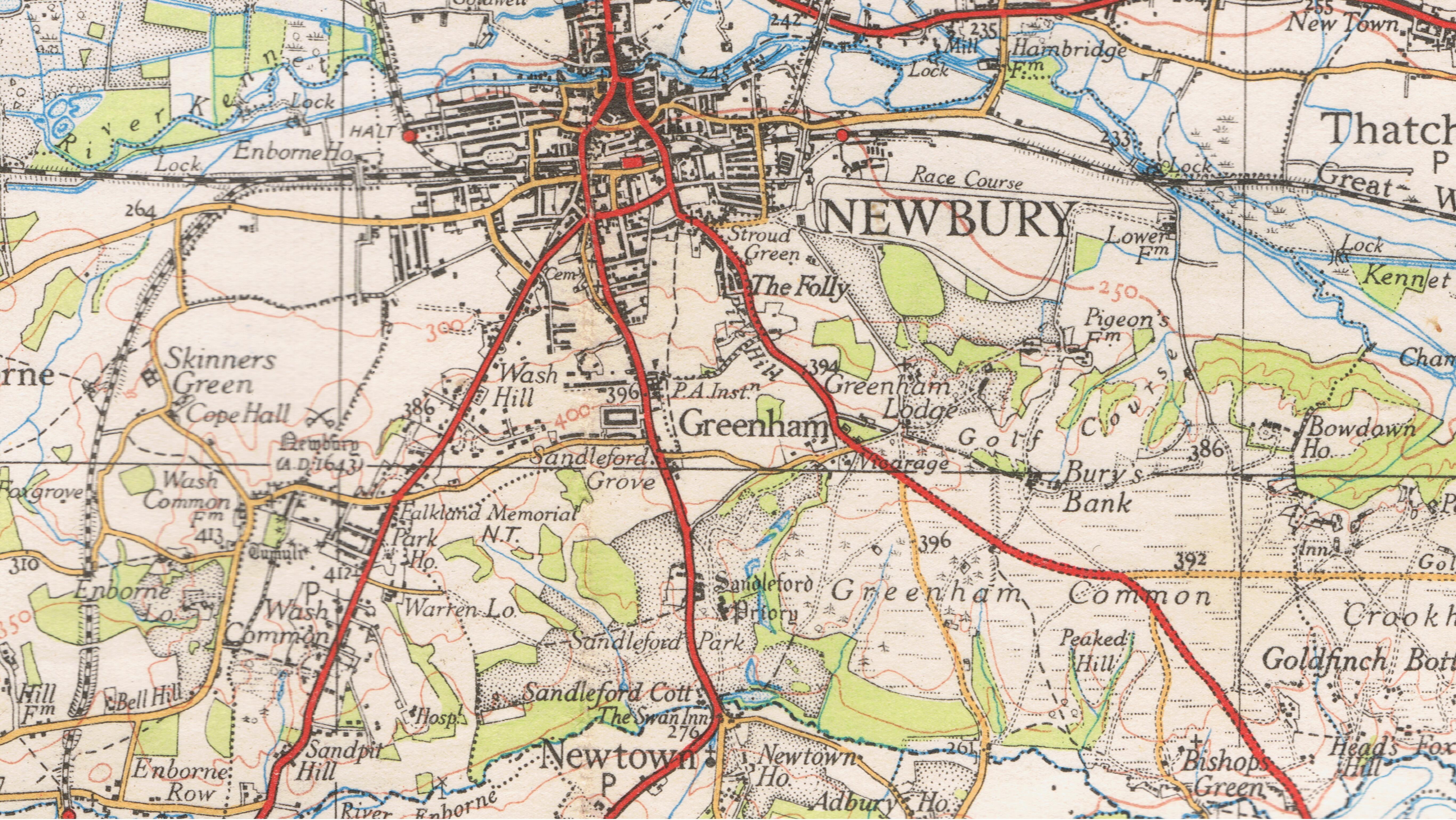
Sandleford

Sandleford is a hamlet and former parish in the English county of Berkshire. Since at least 1924, the settlement has been within the civil parish of Greenham...

St Gabriel's School

St Gabriel's School is a private co-educational day school (Nursery, Junior School, Senior School & Sixth Form) located at Sandleford Priory in Sandleford...

Newtown, Hampshire

Newtown is a village and civil parish in the English county of Hampshire, about 1+1⁄2 miles (2.4 km) south of Newbury, Berkshire. == History == In the...

Nearby Amenities

Located within 500m of 51.376927,-1.3129513
Bunker Farm
Place: farm
Lat/Long: 51.3745119/-1.3104325
Bus Stop
St Gabriels School
Naptan AtcoCode: 030055500001
Naptan NaptanCode: brkpamg
Lat/Long: 51.3765186/-1.3186882
Bus Stop
St Gabriels School
Naptan AtcoCode: 030055500002
Naptan NaptanCode: brkpamj
Lat/Long: 51.3771716/-1.3189081
Barrier: kissing_gate
Source: local knowledge
Lat/Long: 51.3761125/-1.3190661
Barrier: stile
Bicycle: no
Foot: yes
Horse: no
Material: wood
Motor Vehicle: no
Stile: stepover
Lat/Long: 51.3735158/-1.3166077
Barrier: stile
Bicycle: no
Foot: yes
Horse: no
Material: wood
Motor Vehicle: no
Stile: stepover
Lat/Long: 51.373881/-1.3143976
The data included in this document is from www.openstreetmap.org. The data is made available under ODbL.

Have you been to Brown's Pond?

Leave your review of Brown's Pond below (or comments, questions and feedback).