Bushy Copse

Wood, Forest in Hampshire Eastleigh

England

Bushy Copse

M27 gantry East of Moorgreen Road bridge
M27 gantry Credit: John Firth

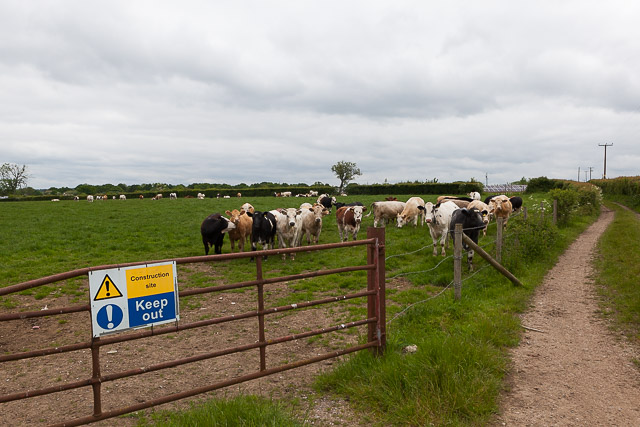
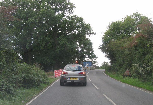
Bushy Copse is a picturesque woodland located in the county of Hampshire, England. Covering an area of approximately 50 acres, it is known for its dense foliage and diverse range of tree species. The copse is situated near the village of Bramshott, in the eastern part of Hampshire, and is easily accessible to visitors.

The woodland is characterized by its bushy and thick growth, which gives it its name. It is primarily composed of deciduous trees such as oak, beech, and birch, creating a vibrant and colorful canopy during the autumn months. The forest floor is carpeted with a rich undergrowth of ferns, mosses, and wildflowers, providing a haven for a variety of small animals and insects.

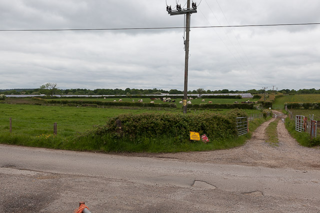
Bushy Copse is a popular destination for nature enthusiasts, walkers, and cyclists. There are several well-maintained trails that wind through the woodland, allowing visitors to explore its beauty at their own pace. These trails offer opportunities for wildlife spotting and provide peaceful retreats for those seeking solitude in nature.

The copse is also home to a diverse array of wildlife. Common sightings include deer, squirrels, and a wide variety of bird species. The tranquil atmosphere and abundance of natural resources make Bushy Copse an attractive habitat for these creatures.

In addition to its natural beauty, Bushy Copse holds historical significance. It has been referenced in historical documents dating back centuries, and remnants of ancient settlements have been discovered within its boundaries. This connection to the past adds an extra layer of intrigue to the woodland's allure.

Overall, Bushy Copse in Hampshire is a captivating and enchanting woodland, offering visitors the chance to immerse themselves in nature, explore its trails, and appreciate its rich biodiversity.

If you have any feedback on the listing, please let us know in the comments section below.
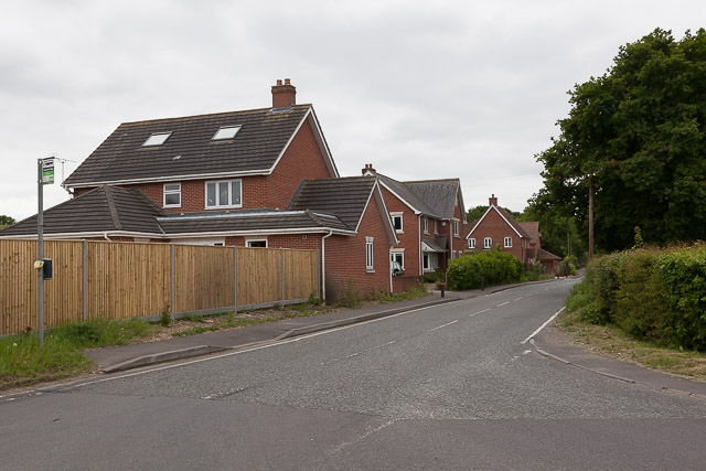
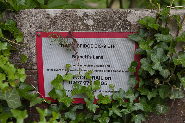
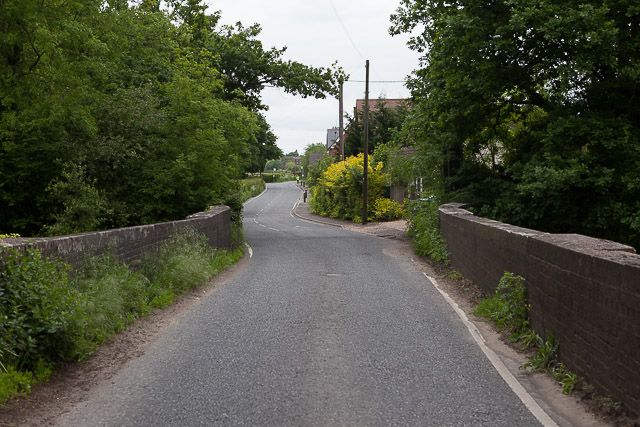
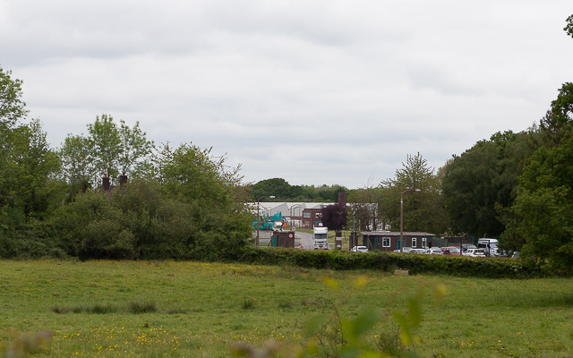
Bushy Copse Images

Images are sourced within 2km of 50.942213/-1.3317161 or Grid Reference SU4716. Thanks to Geograph Open Source API. All images are credited.

M27 gantry East of Moorgreen Road bridge
M27 gantry
East of Moorgreen Road bridge
High Street High Street (B3035) heading down to the A27
High Street
High Street (B3035) heading down to the A27
Atalantic Park View Atalantic Park View leading to Townhill Way
Atalantic Park View
Atalantic Park View leading to Townhill Way
2016: a year on Geograph (Day 55) I was stumped for a photo today until I passed The Ageas (née Rose) Bowl. <span class="nowrap"><a title="https://en.wikipedia.org/wiki/Rose_Bowl_(cricket_ground)" rel="nofollow ugc noopener" href="https://en.wikipedia.org/wiki/Rose_Bowl_(cricket_ground)">Link</a><img style="margin-left:2px;" alt="External link" title="External link - shift click to open in new window" src="https://s1.geograph.org.uk/img/external.png" width="10" height="10"/></span>
2016: a year on Geograph (Day 55)
I was stumped for a photo today until I passed The Ageas (née Rose) Bowl. LinkExternal link
Near West Horton Farm Looking SE.
Near West Horton Farm
Looking SE.
A load of bullocks on Chalcroft Farm The sign says "Construction site keep out" but I think this is left over from the year 2012 when Chalcroft Solar Park (seen in distance) was built. Chalcroft Farm is the base of Owtons, a well known local butchers (<span class="nowrap"><a title="www.owtons.com" rel="nofollow ugc noopener" href="http://www.owtons.com">Link</a><img style="margin-left:2px;" alt="External link" title="External link - shift click to open in new window" src="https://s1.geograph.org.uk/img/external.png" width="10" height="10"/></span> ). There are bullocks everywhere on this farm, understandably, but I gave up walking the footpaths here and decided to keep to the road. I would not advise walking the paths hereabouts with a dog.
A load of bullocks on Chalcroft Farm
The sign says "Construction site keep out" but I think this is left over from the year 2012 when Chalcroft Solar Park (seen in distance) was built. Chalcroft Farm is the base of Owtons, a well known local butchers (LinkExternal link ). There are bullocks everywhere on this farm, understandably, but I gave up walking the footpaths here and decided to keep to the road. I would not advise walking the paths hereabouts with a dog.
Chalcroft Solar Park In its farmland setting. Seen from private road (public footpath) to Owtons butchers.
Chalcroft Solar Park
In its farmland setting. Seen from private road (public footpath) to Owtons butchers.
Entrance to Chalcroft Business Park Which is well secluded.
Entrance to Chalcroft Business Park
Which is well secluded.
Date plaque on Waypoint House One of four detached houses built in 2008 along Burnetts Lane immediately north of the railway bridge. For context see <a href="https://www.geograph.org.uk/photo/4968839">SU4815 : Detached houses on Burnetts Lane</a>
Date plaque on Waypoint House
One of four detached houses built in 2008 along Burnetts Lane immediately north of the railway bridge. For context see SU4815 : Detached houses on Burnetts Lane
Detached houses on Burnetts Lane A group of four built in 2008 north of the railway bridge. See also <a href="https://www.geograph.org.uk/photo/4968830">SU4815 : Date plaque on Waypoint House</a>
Detached houses on Burnetts Lane
A group of four built in 2008 north of the railway bridge. See also SU4815 : Date plaque on Waypoint House
Bridge E13/9 ETF Burnett's Lane Network Rail's sign on railway bridge. For wider view of this bridge see <a href="https://www.geograph.org.uk/photo/4969437">SU4815 : Bridge taking Burnetts Lane over the railway</a>
Bridge E13/9 ETF Burnett's Lane
Network Rail's sign on railway bridge. For wider view of this bridge see SU4815 : Bridge taking Burnetts Lane over the railway
Bridge taking Burnetts Lane over the railway See also <a href="https://www.geograph.org.uk/photo/4969435">SU4815 : Bridge E13/9 ETF Burnett's Lane</a>
Bridge taking Burnetts Lane over the railway
Chalcroft Distribution Park This well secluded business park runs beside the railway line and is almost surrounded by trees. I presume the land was originally part of Chalcroft Farm, but an Eastleigh Borough Council planning document states "Chalcroft Distribution Park is an industrial site established sometime in the first half of the 20th century as a rail distribution park. It now serves as a road haulage distribution centre". This is all I can see of it from Burnetts Lane. The older house whose chimneys are glimpsed in the trees front left is intriguingly marked on the OS map as "married quarters". <span class="nowrap"><a title="http://www.chalcroft.com/" rel="nofollow ugc noopener" href="http://www.chalcroft.com/">Link</a><img style="margin-left:2px;" alt="External link" title="External link - shift click to open in new window" src="https://s1.geograph.org.uk/img/external.png" width="10" height="10"/></span>
Chalcroft Distribution Park
This well secluded business park runs beside the railway line and is almost surrounded by trees. I presume the land was originally part of Chalcroft Farm, but an Eastleigh Borough Council planning document states "Chalcroft Distribution Park is an industrial site established sometime in the first half of the 20th century as a rail distribution park. It now serves as a road haulage distribution centre". This is all I can see of it from Burnetts Lane. The older house whose chimneys are glimpsed in the trees front left is intriguingly marked on the OS map as "married quarters". LinkExternal link
Take Off from Southampton Flybe Bombardier Dash 8 Q400, G-JEDU, takes off from the runway at Southampton Airport.
Take Off from Southampton
Flybe Bombardier Dash 8 Q400, G-JEDU, takes off from the runway at Southampton Airport.
Firtree Lane
Firtree Lane
Arturis Garden Centre
Bridge repairs, Allington Lane
Roddington Forge
Roddington Forge
Show me another place!

Bushy Copse is located at Grid Ref: SU4716 (Lat: 50.942213, Lng: -1.3317161)

Administrative County: Hampshire

District: Eastleigh

Police Authority: Hampshire

What 3 Words

///moved.frosted.priced. Near West End, Hampshire

Nearby Locations

Bushy Copse Hog Wood

Related Wikis

Eastleigh (UK Parliament constituency)

Eastleigh is a constituency represented in the House of Commons of the UK Parliament since 2019 by Paul Holmes, a Conservative. == Constituency profile... ==

Itchen Valley Country Park

Itchen Valley Country Park is a country park in West End, Hampshire, England. As the name suggests, the River Itchen runs through the park, which covers...

Allington, Hampshire

Allington is a small settlement in the Borough of Eastleigh, Hampshire, England, located at the northern extremity of the civil parish of West End. �...

Borough of Eastleigh

The Borough of Eastleigh is a local government district with borough status in Hampshire, England. It is named after its main town of Eastleigh, where...

Moorgreen Hospital

Moorgreen Hospital was a community hospital in West End, near Southampton. It was managed by Southampton City Primary Care Trust. == History == The hospital...

Gaters Mill

Gaters Mill is a complex of buildings on the River Itchen in the civil parish of West End, Hampshire. The complex forms part of the Gaters Mill & Romill...

Chartwell Green

Chartwell Green is a suburb of Southampton, England, although it falls outside the formal city boundary. Instead, Chartwell Green is part of the West...
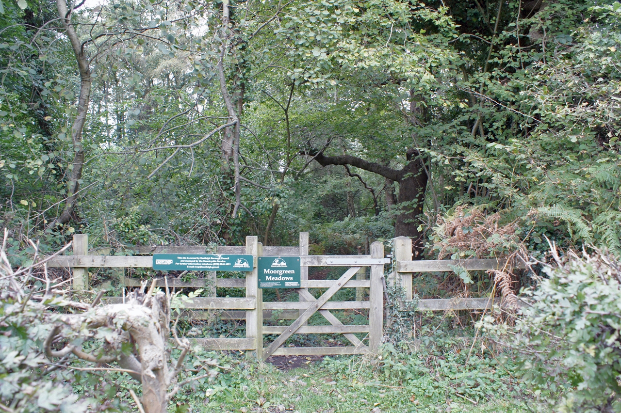
Moorgreen Meadows

Moorgreen Meadows is a 14.3-hectare (35-acre) biological Site of Special Scientific Interest in Southampton in Hampshire.These meadows are important for...

Nearby Amenities

Located within 500m of 50.942213,-1.3317161
Traffic Calming: bump
Lat/Long: 50.9446882/-1.3269253
Noexit: yes
Lat/Long: 50.9449177/-1.329674
Noexit: yes
Lat/Long: 50.9445264/-1.3279839
Noexit: yes
Lat/Long: 50.9447681/-1.3282592
Paynes Row
Place: locality
Lat/Long: 50.9462862/-1.3325265
Sunnyhills Copse
Place: locality
Lat/Long: 50.9451672/-1.3330793
Barrier: kissing_gate
Lat/Long: 50.9434609/-1.3378116
Noexit: yes
Lat/Long: 50.945403/-1.3289263
Fix My Ride
Shop: car_repair
Lat/Long: 50.9449419/-1.328026
Traffic Calming: yes
Lat/Long: 50.944514/-1.3264949
The Diesel Specialist
Addr Postcode: SO30 3HP
Addr Street: Allington Lane
Addr Unit: 24
Opening Hours: Mo-Th 08:00-17:00; Fr 08:00-16:30; Sa 08:00-13:00
Service Vehicle Diagnostics: yes
Service Vehicle Diesel: yes
Service Vehicle Injection: yes
Shop: car_repair
Website: https://www.thedieselspecialist.co.uk/
Lat/Long: 50.9447572/-1.3280352
Shop: car_repair
Lat/Long: 50.94521/-1.3290886
Parking
Access: customers
Lat/Long: 50.9446749/-1.3273518
Horton Heath Van Centre
Shop: car_repair
Lat/Long: 50.9446262/-1.3275969
Traffic Calming: bump
Lat/Long: 50.9448364/-1.3273594
Solent Gearboxes & Axles
Addr Unit: 5
Service Vehicle Transmission: yes
Shop: car_repair
Lat/Long: 50.9449879/-1.3281089
AE Maintenance
Office: yes
Lat/Long: 50.9450452/-1.3284927
Extreme Performance Tyres Ltd
Shop: tyres
Lat/Long: 50.9447704/-1.3285786
Brook Scapes
Office: yes
Lat/Long: 50.9451534/-1.3288345
Quadman
Atv Repair: yes
Shop: motorcycle_repair
Lat/Long: 50.944989/-1.3291779
DMP
Shop: car_repair
Lat/Long: 50.9452966/-1.3289506
West End Motor Company
Second Hand: only
Shop: car
Lat/Long: 50.9446325/-1.328156
Deli On Your Doorstep
Office: yes
Lat/Long: 50.9447365/-1.3284759
Ridgeway Copse
Place: locality
Lat/Long: 50.939972/-1.3353796
Bushy Copse
Place: locality
Lat/Long: 50.9422235/-1.3316507
High Hill
Ele: 27
Natural: peak
Lat/Long: 50.9449644/-1.3361378
The data included in this document is from www.openstreetmap.org. The data is made available under ODbL.

Have you been to Bushy Copse?

Leave your review of Bushy Copse below (or comments, questions and feedback).