Bean Hill Copse

Wood, Forest in Berkshire

England

Bean Hill Copse

Curridge : Newbury Bypass A34 Looking along the Newbury Bypass.
Curridge : Newbury Bypass A34 Credit: Lewis Clarke

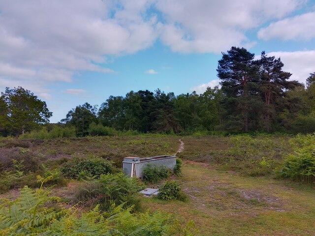
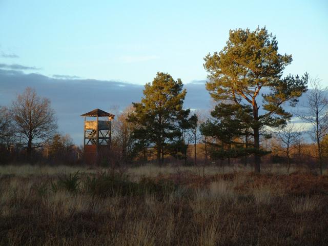
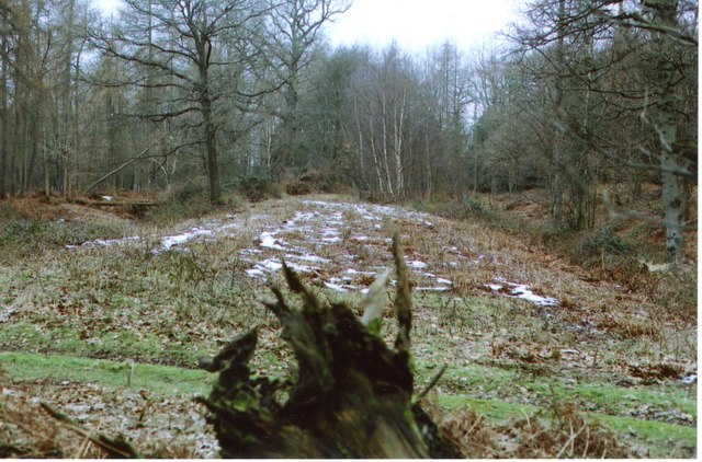
Bean Hill Copse is a picturesque wood located in Berkshire, England. Covering an area of approximately 50 acres, this ancient forest is known for its diverse range of flora and fauna. The copse is situated on a gently sloping hill, offering visitors stunning views of the surrounding countryside.

The woodland is primarily composed of native species such as oak, beech, and ash trees, which provide a dense canopy that filters sunlight and creates a cool and tranquil environment. The forest floor is carpeted with a variety of wildflowers, including bluebells, primroses, and wood anemones, adding bursts of color to the landscape during the spring months.

Bean Hill Copse is a haven for wildlife enthusiasts, as it is home to a wide range of animals and birds. Deer, foxes, and badgers are often spotted roaming through the undergrowth, while birdwatchers can catch glimpses of species such as buzzards, woodpeckers, and owls. The copse also attracts a variety of insects, including butterflies and dragonflies, making it an ideal spot for nature lovers.

The forest has a network of well-maintained footpaths, allowing visitors to explore its beauty at their own pace. These trails wind through the trees and provide access to hidden clearings and secluded picnic spots. There is also a small car park at the entrance, ensuring easy access for visitors.

Bean Hill Copse is cherished by the local community and is a popular destination for both local residents and tourists alike. Its serene atmosphere, diverse wildlife, and breathtaking scenery make it a must-visit location for anyone seeking a peaceful escape into nature.

If you have any feedback on the listing, please let us know in the comments section below.

Bean Hill Copse Images

Images are sourced within 2km of 51.447174/-1.3244171 or Grid Reference SU4772. Thanks to Geograph Open Source API. All images are credited.

Curridge : Newbury Bypass A34 Looking along the Newbury Bypass.
Curridge : Newbury Bypass A34
Looking along the Newbury Bypass.
Chieveley : M4 Motorway Looking along the M4 Motorway.
Chieveley : M4 Motorway
Looking along the M4 Motorway.
Car Park, Chieveley Services The exit for this section of the car park.
Car Park, Chieveley Services
The exit for this section of the car park.
Chieveley Services
Chieveley Services
Exit road, Chieveley Services
Car park at Chieveley Services
M4 J13 Chieveley Interchange roundabout The roundabout at Chieveley Interchange, on the A34 and off Junction 13 of the M4.
M4 J13 Chieveley Interchange roundabout
The roundabout at Chieveley Interchange, on the A34 and off Junction 13 of the M4.
Sowbury Park, Chieveley Sowbury Park is a cul-de-sac in Chieveley off School Road.
Sowbury Park, Chieveley
Sowbury Park is a cul-de-sac in Chieveley off School Road.
Chieveley Wastewater Treatment Works A sewage works off School Road near Chieveley.
Chieveley Wastewater Treatment Works
A sewage works off School Road near Chieveley.
Fiona Walker gate, Snelsmore Common The Fiona Walker gate is engraved with a leaf pattern and text to the top beam at the edge of Snelsmore Common. It was installed by the West Berkshire Ramblers on the 27th of May 2008.

The engraving is now quite difficult to see, hence this close look at the text, which reads "CLEARING FOOTPATHS FOR YOU
FIONA WALKER GATE".

Fiona Walker is the Work Party Coordinator and helps to coordinate the work party with West Berkshire Council’s Rights of Way team to help to maintain the network of footpaths in the local government district.
Fiona Walker gate, Snelsmore Common
The Fiona Walker gate is engraved with a leaf pattern and text to the top beam at the edge of Snelsmore Common. It was installed by the West Berkshire Ramblers on the 27th of May 2008. The engraving is now quite difficult to see, hence this close look at the text, which reads "CLEARING FOOTPATHS FOR YOU FIONA WALKER GATE". Fiona Walker is the Work Party Coordinator and helps to coordinate the work party with West Berkshire Council’s Rights of Way team to help to maintain the network of footpaths in the local government district.
Snelsmore Common path A public footpath through Snelsmore Common.
Snelsmore Common path
A public footpath through Snelsmore Common.
Snelsmore Common path One of many paths around Snelsmore Common.
Snelsmore Common path
One of many paths around Snelsmore Common.
Snelsmore Common One of the areas of heathland at Snelsmore Common, between woodland.
Snelsmore Common
One of the areas of heathland at Snelsmore Common, between woodland.
Snelsmore Common heathland An area of heathland on Snelsmore Common.
Snelsmore Common heathland
An area of heathland on Snelsmore Common.
St James the Less, Winterbourne The church of St James the Less in Winterbourne near Newbury. The church dates from the 12th, 13th and 18th centuries, with a restoration in the 19th century. The church is Grade II* listed, list entry number 1221003 <span class="nowrap"><a title="https://historicengland.org.uk/listing/the-list/list-entry/1221003" rel="nofollow ugc noopener" href="https://historicengland.org.uk/listing/the-list/list-entry/1221003">Link</a><img style="margin-left:2px;" alt="External link" title="External link - shift click to open in new window" src="https://s1.geograph.org.uk/img/external.png" width="10" height="10"/></span>
St James the Less, Winterbourne
The church of St James the Less in Winterbourne near Newbury. The church dates from the 12th, 13th and 18th centuries, with a restoration in the 19th century. The church is Grade II* listed, list entry number 1221003 LinkExternal link
St James the Less graveyard, Winterbourne The graveyard at St James the Less in Winterbourne.
St James the Less graveyard, Winterbourne
The graveyard at St James the Less in Winterbourne.
St James the Less chimney The chimney at the far north east of St James the Less in Winterbourne. The church dates from the 12th, 13th and 18th centuries, with a restoration in the 19th century. The church is Grade II* listed, list entry number 1221003 <span class="nowrap"><a title="https://historicengland.org.uk/listing/the-list/list-entry/1221003" rel="nofollow ugc noopener" href="https://historicengland.org.uk/listing/the-list/list-entry/1221003">Link</a><img style="margin-left:2px;" alt="External link" title="External link - shift click to open in new window" src="https://s1.geograph.org.uk/img/external.png" width="10" height="10"/></span>
St James the Less chimney
The chimney at the far north east of St James the Less in Winterbourne. The church dates from the 12th, 13th and 18th centuries, with a restoration in the 19th century. The church is Grade II* listed, list entry number 1221003 LinkExternal link
Marsh Lane, Curridge A lane and byway in Curridge, off a corner on Curridge Road. The byway does a loop to Kiln Drive in Curridge.
Marsh Lane, Curridge
A lane and byway in Curridge, off a corner on Curridge Road. The byway does a loop to Kiln Drive in Curridge.
Show me another place!

Bean Hill Copse is located at Grid Ref: SU4772 (Lat: 51.447174, Lng: -1.3244171)

Unitary Authority: West Berkshire

Police Authority: Thames Valley

What 3 Words

///tricks.throat.vanish. Near Winterbourne, Berkshire

Related Wikis

Snelsmore

Snelsmore is a hamlet in Berkshire, England, and part of the civil parish of Chieveley. The settlement lies near to junction 13 of the M4 motorway, and...

Bussock Camp

Bussock Camp is the site of an Iron Age bivallate hillfort located in Berkshire, England. It has a double bank and ditch to the south and east, with only...

Chieveley services

Chieveley services is a UK motorway service station just off the M4 motorway at Chieveley near Newbury in Berkshire, England. It is owned by Moto. It is...

Mary Hare School

Mary Hare School is a residential co-educational Non-Maintained special school for deaf pupils in Newbury, Berkshire, England. It consists of around 230...

Winterbourne, Berkshire

Winterbourne is a village and civil parish in the Berkshire Downs about 3 miles (5 km) north of Newbury in West Berkshire. == Geography == Winterbourne...

Chieveley

Chieveley is a village and large civil parish centred 3.5 miles (5.6 km) north of Newbury in Berkshire, close to the M4 motorway and A34 road. Chieveley...

Snelsmore Common

Snelsmore Common is a 104-hectare (260-acre) biological Site of Special Scientific Interest north of Newbury in Berkshire. It is owned by West Berkshire...

Chieveley House

Chieveley House, on the High Street in the village of Chieveley, Berkshire is a country house dating from the early 18th century. It is a Grade II* listed...

Nearby Amenities

Located within 500m of 51.447174,-1.3244171
Bussock Camp
Historic: archaeological_site
Wikidata: Q5002047
Wikipedia: en:Bussock Camp
Lat/Long: 51.4489068/-1.3291496
The data included in this document is from www.openstreetmap.org. The data is made available under ODbL.

Have you been to Bean Hill Copse?

Leave your review of Bean Hill Copse below (or comments, questions and feedback).